Round Hill
Hill, Mountain in Westmorland Eden
England
Round Hill

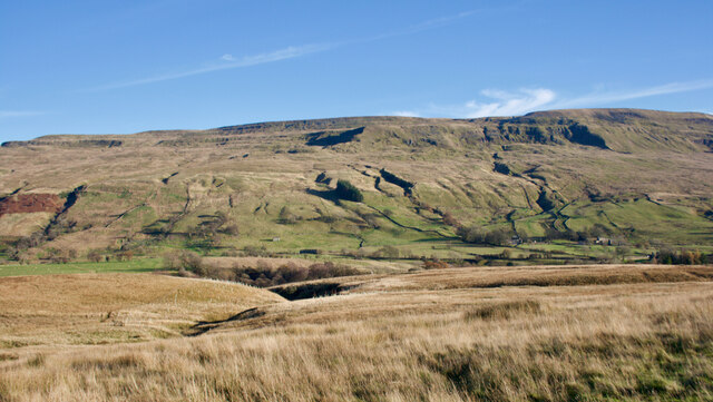
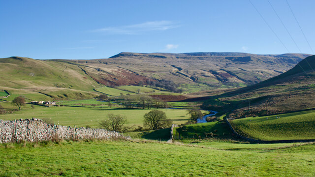
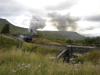
Round Hill is a prominent hill located in the county of Westmorland, England. Standing at an impressive height of 776 meters (2,546 feet), it is often referred to as a mountain due to its towering presence. Part of the Pennines range, Round Hill is situated within the Yorkshire Dales National Park, offering breathtaking panoramic views of the surrounding countryside.
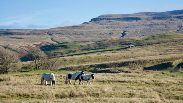
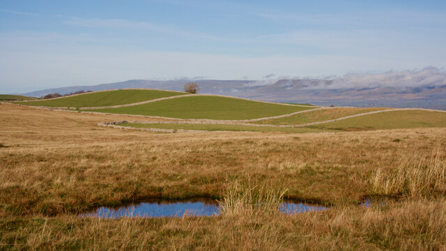
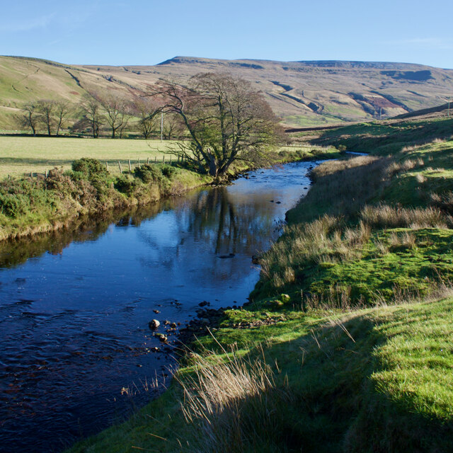
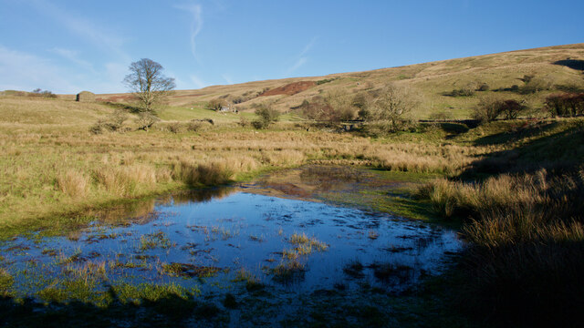
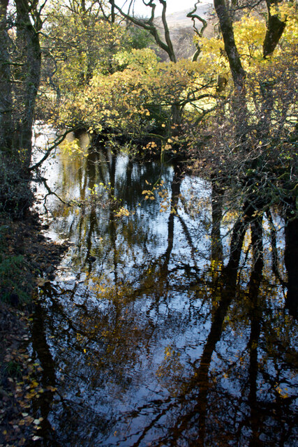
The hill is characterized by its distinct rounded shape, which is believed to have been formed by glacial activity during the last ice age. Its slopes are covered in a mixture of grasslands, heather moorlands, and scattered patches of woodland, creating a diverse habitat for various plant and animal species. The area is particularly known for its populations of red grouse, curlews, and other upland birds.
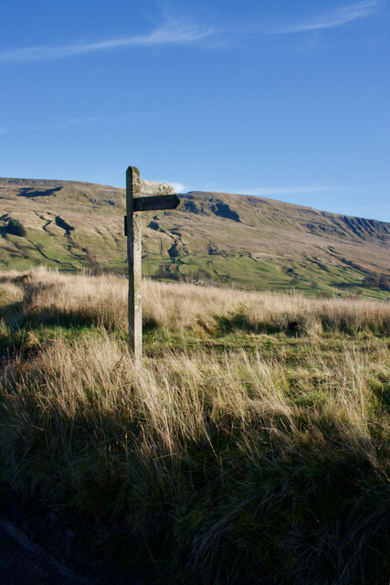
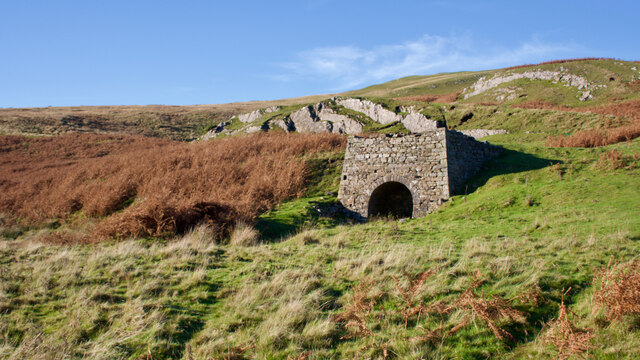
Round Hill is a popular destination for outdoor enthusiasts, attracting hikers, walkers, and nature lovers from near and far. Several well-marked trails traverse the hill, offering opportunities to explore its rugged terrain and soak in the stunning vistas. The ascent to the summit can be challenging, but the rewards are well worth it, with stunning views extending as far as the Lake District and the Yorkshire Dales.
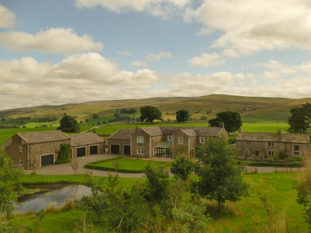
The hill is easily accessible, with the nearby village of Sedbergh serving as a gateway to its slopes. Sedbergh offers amenities such as accommodations, cafes, and visitor centers, making it a convenient base for those looking to explore Round Hill and the surrounding area.
In conclusion, Round Hill is a majestic hill/mountain located in Westmorland, offering visitors a chance to experience the beauty of the Yorkshire Dales National Park and enjoy breathtaking views from its summit.
If you have any feedback on the listing, please let us know in the comments section below.
Round Hill Images
Images are sourced within 2km of 54.433857/-2.3429098 or Grid Reference NY7704. Thanks to Geograph Open Source API. All images are credited.


Round Hill is located at Grid Ref: NY7704 (Lat: 54.433857, Lng: -2.3429098)
Administrative County: Cumbria
District: Eden
Police Authority: Cumbria
What 3 Words
///frostbite.mull.taster. Near Kirkby Stephen, Cumbria
Nearby Locations
Related Wikis

Pendragon Castle
Pendragon Castle is a ruin located in Mallerstang Dale, Cumbria, south of Kirkby Stephen, and close to the hamlet of Outhgill (at grid reference NY781025...
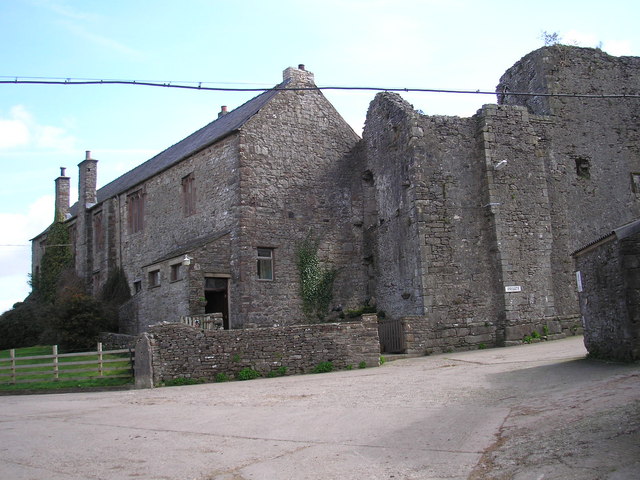
Wharton Hall
Wharton Hall in Wharton, Cumbria, England, is a medieval fortified manor house. == History == At the heart of Wharton Hall is a 15th-century hall, built...

Nateby, Cumbria
Nateby is a village and civil parish in the Eden district of Cumbria, England. The parish had a population of 110 in 2001, increasing to 120 at the 2011...
Wharton, Cumbria
Wharton is a civil parish near Kirkby Stephen in the Eden District of Cumbria, England, which, historically, was part of Westmorland. It has a population...

Outhgill
Outhgill is a hamlet in Mallerstang, Cumbria, England. It lies about 5 miles (8 km) south of Kirkby Stephen. It is the main hamlet in the dale of Mallerstang...
Mallerstang
Mallerstang is a civil parish in the extreme east of Cumbria, and, geographically, a dale at the head of the upper Eden Valley. Originally part of Westmorland...
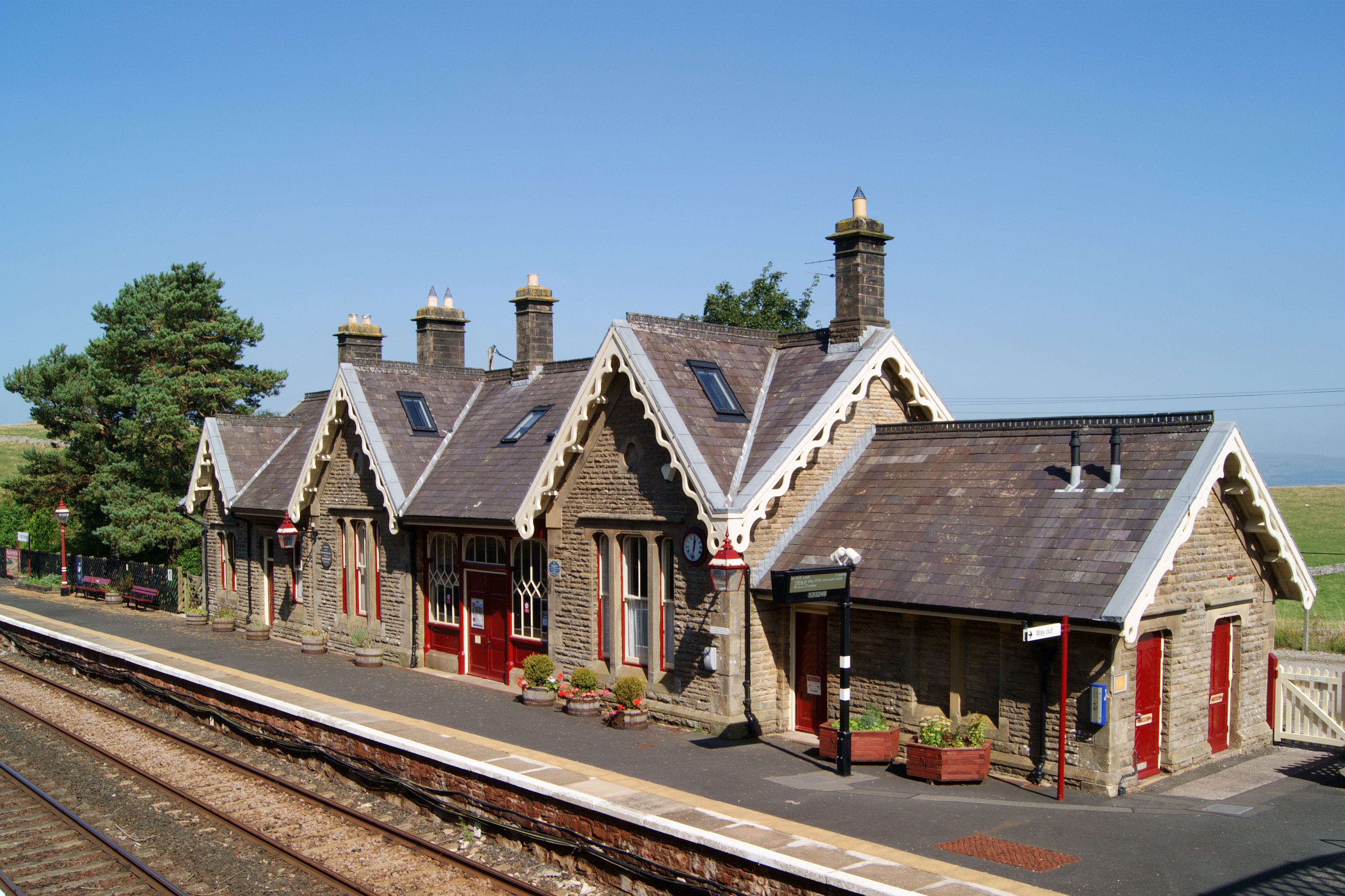
Kirkby Stephen railway station
Kirkby Stephen is a railway station in Eden in Cumbria, England, on the Settle and Carlisle Line, which runs between Carlisle and Leeds via Settle. The...

Devil's Grinding Mill
The Devil's Grinding Mill, sometimes known as the Devil's Hole, is part of The Angel's Drainpipe, a partially collapsed cave system on the River Eden in...
Nearby Amenities
Located within 500m of 54.433857,-2.3429098Have you been to Round Hill?
Leave your review of Round Hill below (or comments, questions and feedback).