Badger Dingle

Valley in Shropshire

England

Badger Dingle

Farmland north of Badger, Shropshire This is land east of Badger Farm, looking towards Riddens Coppice.
Farmland north of Badger, Shropshire Credit: Roger Kidd

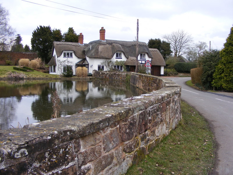
Badger Dingle is a picturesque valley located in the county of Shropshire, England. Nestled within the stunning Shropshire Hills, this charming destination offers a tranquil escape from the hustle and bustle of everyday life.

The valley is known for its lush greenery, rolling hills, and meandering streams, creating a stunning natural landscape that attracts nature enthusiasts and outdoor adventurers alike. Badger Dingle is particularly popular with hikers and walkers, as it offers a network of well-maintained footpaths that wind through the valley, providing breathtaking views at every turn.

Wildlife enthusiasts will also find plenty to admire in Badger Dingle. The valley is home to a diverse range of flora and fauna, including several species of birds, butterflies, and small mammals. It is not uncommon to catch a glimpse of a deer or fox while exploring the area.

History buffs will be delighted to discover that Badger Dingle is steeped in rich heritage. The valley is dotted with remnants of its past, including ancient stone walls and old mining shafts, serving as a reminder of its mining history. Visitors can also explore the nearby Badger Dingle Church, a small and charming place of worship that dates back several centuries.

Badger Dingle offers a range of amenities to cater to visitors' needs. There are several charming bed and breakfasts and self-catering cottages in the area, providing comfortable accommodation options. Additionally, a quaint tearoom and a local pub offer a cozy setting to relax and enjoy a meal or a refreshing drink.

Overall, Badger Dingle, Shropshire, is a hidden gem that offers a perfect blend of natural beauty, rich history, and a warm welcome to all who venture into its enchanting valley.

If you have any feedback on the listing, please let us know in the comments section below.

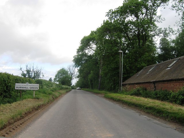
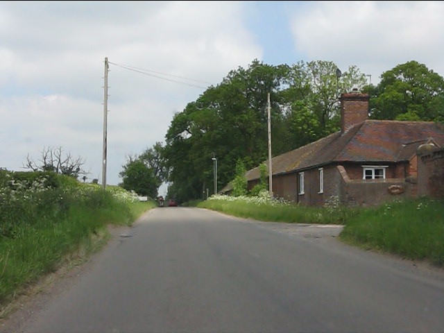
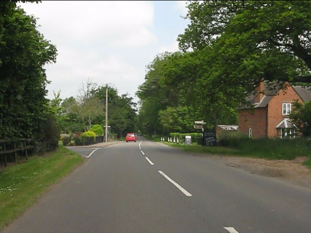
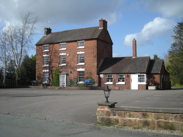
Badger Dingle Images

Images are sourced within 2km of 52.589765/-2.3290359 or Grid Reference SO7799. Thanks to Geograph Open Source API. All images are credited.

Farmland north of Badger, Shropshire This is land east of Badger Farm, looking towards Riddens Coppice.
Farmland north of Badger, Shropshire
This is land east of Badger Farm, looking towards Riddens Coppice.
Farmland north of Badger, Shropshire Crop fields east of Badger Farm, seen from Badger Lane.
Farmland north of Badger, Shropshire
Crop fields east of Badger Farm, seen from Badger Lane.
Farmland north of Badger, Shropshire This crop field is seen from Badger Lane, looking past the northern edge of Riddens Coppice.
Farmland north of Badger, Shropshire
This crop field is seen from Badger Lane, looking past the northern edge of Riddens Coppice.
Crop field north of Badger, Shropshire The reddish colour of the soil here reveals the presence of Triassic sandstone rock below the surface. The field appears to have been prepared to grow spring onions, or similar. The deep troughs are exactly the correct width for the tractor wheels, and the raised soil in between seems to have been prepared for five lines of onions (The earlier crop in the field to the north has six lines).

Badger Lane crosses behind the hedge and beyond that is the northern part of Riddens Coppice.
Crop field north of Badger, Shropshire
The reddish colour of the soil here reveals the presence of Triassic sandstone rock below the surface. The field appears to have been prepared to grow spring onions, or similar. The deep troughs are exactly the correct width for the tractor wheels, and the raised soil in between seems to have been prepared for five lines of onions (The earlier crop in the field to the north has six lines). Badger Lane crosses behind the hedge and beyond that is the northern part of Riddens Coppice.
Burnhill Green entrance sign
Footpath Near Badger
Shepherds Buildings
Shepherds Buildings
Road junction in Burnhill Green
OS benchmark - Badger, Lockley's Lane cottage An OS cutmark on the front wall of one of the cottages at the junction of Lockley's Lane; originally levelled in 1959 at 90.572m above Ordnance Datum Newlyn.
OS benchmark - Badger, Lockley's Lane cottage
An OS cutmark on the front wall of one of the cottages at the junction of Lockley's Lane; originally levelled in 1959 at 90.572m above Ordnance Datum Newlyn.
The Sett, near Badger Farm, Badger
Powerlines from Buildwas between Badger and Beckbury
The Dartmouth Arms, Burnhill Green
Burnhill Green
Burnhill Green
Snowdon Farm, Beckbury
Farmer's Rectangular Pool This pool belongs to Snowdon Farm and is probably used to irrigate crops.
Farmer's Rectangular Pool
This pool belongs to Snowdon Farm and is probably used to irrigate crops.
Public Footpath "through" Hedge, Shropshire Yeah, right! Get myself ripped apart by a hawthorn hedge after fighting my way through the cow parsley......or use a perfectly good gate five metres to the east. Ummmm!
Public Footpath "through" Hedge, Shropshire
Yeah, right! Get myself ripped apart by a hawthorn hedge after fighting my way through the cow parsley......or use a perfectly good gate five metres to the east. Ummmm!
Snowdon Lane, Burnhill Green, Shropshire There are some seriously attractive residences in this little group to the west of Burnhill Green.
Snowdon Lane, Burnhill Green, Shropshire
There are some seriously attractive residences in this little group to the west of Burnhill Green.
The Dartmouth Arms at Burnhill Green I understand this pub has now ceased trading - I hope I've been misinformed.
The Dartmouth Arms at Burnhill Green
I understand this pub has now ceased trading - I hope I've been misinformed.
Show me another place!

Badger Dingle is located at Grid Ref: SO7799 (Lat: 52.589765, Lng: -2.3290359)

Unitary Authority: Shropshire

Police Authority: West Mercia

What 3 Words

///suitcase.moisture.enrolling. Near Ryton, Shropshire

Related Wikis

Nearby Amenities

Located within 500m of 52.589765,-2.3290359
The data included in this document is from www.openstreetmap.org. The data is made available under ODbL.

Have you been to Badger Dingle?

Leave your review of Badger Dingle below (or comments, questions and feedback).