Dead Woman's Bottom
Valley in Somerset Mendip
England
Dead Woman's Bottom

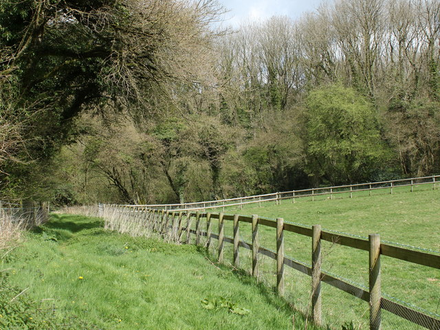
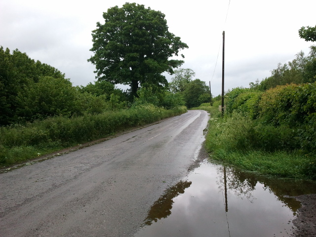
Dead Woman's Bottom is a small valley located in Somerset, England. Nestled within the picturesque Mendip Hills, this unique geographical feature has captured the curiosity of residents and visitors alike. Despite its rather macabre name, there is no evidence to suggest any connection to a deceased woman.
The valley itself is a narrow, elongated depression with steep sides, carved out by the erosive power of water over thousands of years. It is surrounded by lush greenery, including dense woodland and meadows, which add to its natural beauty. The valley is also home to a small stream that winds its way through the landscape, enhancing its tranquility.
The origin of the valley's name is uncertain, with several theories proposed over time. One suggests that it may have been derived from the Old English word "botm," meaning valley or hollow, while another theory suggests it could refer to a burial site. Yet, no historical evidence or records have been found to support these claims.
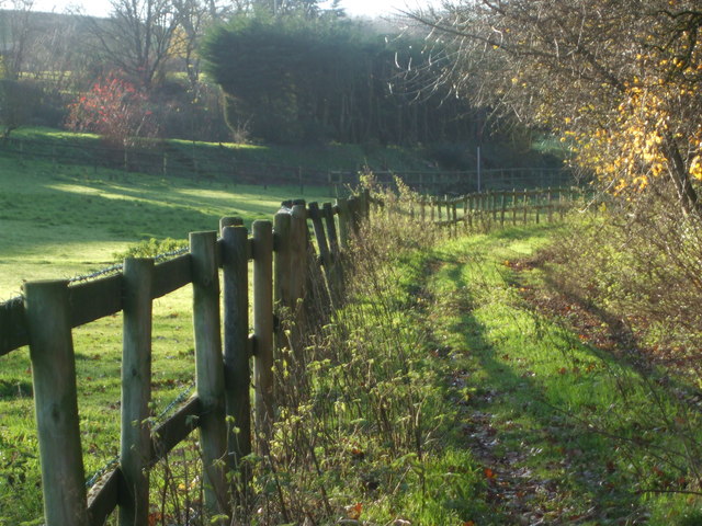
Despite its mysterious name, Dead Woman's Bottom has become a popular destination for outdoor enthusiasts. Hikers and nature lovers are drawn to the area to explore its scenic trails and enjoy the peaceful ambiance. The valley also attracts birdwatchers and wildlife enthusiasts who appreciate the diverse range of flora and fauna that call this place home.
In conclusion, Dead Woman's Bottom is a captivating valley in Somerset, England, known for its natural beauty and intriguing name. While the origin of its name remains shrouded in mystery, the valley continues to enchant visitors with its picturesque scenery and tranquil atmosphere.
If you have any feedback on the listing, please let us know in the comments section below.
Dead Woman's Bottom Images
Images are sourced within 2km of 51.214496/-2.4079676 or Grid Reference ST7146. Thanks to Geograph Open Source API. All images are credited.
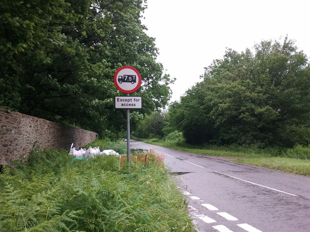
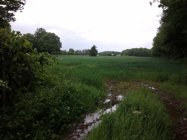
![2011 : Track through Asham Wood Wikipedia has this to say:
&quot;Asham Wood is the largest and most diverse of the ancient semi-natural woods in the Mendips. It has been the subject of controversy and attempts to protect the environment from increased quarrying activity in the area.
The wood occupies 2 deep valleys and the intervening plateau. Most of the underlying rocks are calcareous Carboniferous Limestone and Shales, but Devonian Portishead Beds outcrop along the northern valley. There [is] a range of unusual flora and fauna.
At Asham Wood near Frome coppicing and 50 dormouse boxes have been introduced in order to encourage nesting. The boxes are monitored and dormice numbers are recorded.&quot; <span class="nowrap"><a title="http://en.wikipedia.org/wiki/Asham_Wood" rel="nofollow ugc noopener" href="http://en.wikipedia.org/wiki/Asham_Wood">Link</a><img style="margin-left:2px;" alt="External link" title="External link - shift click to open in new window" src="https://s1.geograph.org.uk/img/external.png" width="10" height="10"/></span>
The only access to Asham Wood from the road is on the north east edge near Dead Womans Bottom, otherwise it is by footpath.](https://s0.geograph.org.uk/geophotos/02/35/76/2357688_98ea92cb.jpg)
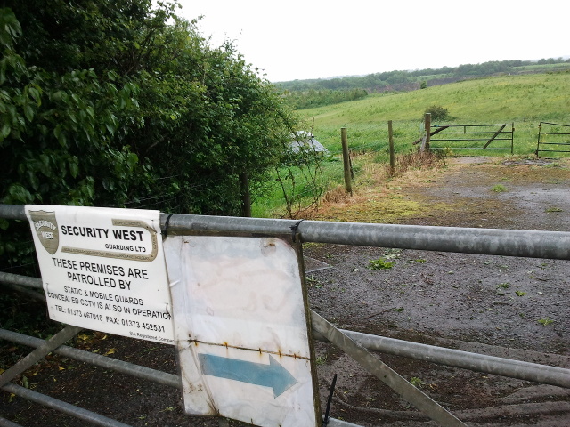
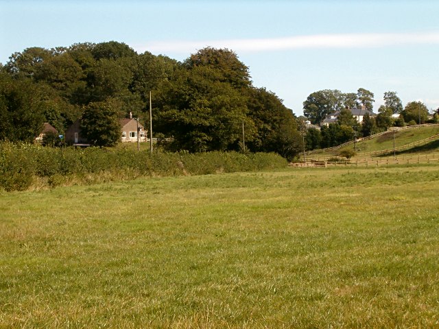
![2011 : Track through Asham Wood Wikipedia has this to say:
&quot;Asham Wood is the largest and most diverse of the ancient semi-natural woods in the Mendips. It has been the subject of controversy and attempts to protect the environment from increased quarrying activity in the area.
The wood occupies 2 deep valleys and the intervening plateau. Most of the underlying rocks are calcareous Carboniferous Limestone and Shales, but Devonian Portishead Beds outcrop along the northern valley. There [is] a range of unusual flora and fauna.
At Asham Wood near Frome coppicing and 50 dormouse boxes have been introduced in order to encourage nesting. The boxes are monitored and dormice numbers are recorded.&quot; <span class="nowrap"><a title="http://en.wikipedia.org/wiki/Asham_Wood" rel="nofollow ugc noopener" href="http://en.wikipedia.org/wiki/Asham_Wood">Link</a><img style="margin-left:2px;" alt="External link" title="External link - shift click to open in new window" src="https://s1.geograph.org.uk/img/external.png" width="10" height="10"/></span>
The only access to Asham Wood from the road is on the north east edge near Dead Womans Bottom, otherwise it is by footpath.](https://s0.geograph.org.uk/geophotos/02/35/77/2357700_9db66174.jpg)


Dead Woman's Bottom is located at Grid Ref: ST7146 (Lat: 51.214496, Lng: -2.4079676)
Administrative County: Somerset
District: Mendip
Police Authority: Avon and Somerset
What 3 Words
///slippers.frostbite.graphics. Near Frome, Somerset
Nearby Locations
Related Wikis

Asham Wood
Asham Wood (grid reference ST705460) is a 140.6-hectare (347-acre) biological Site of Special Scientific Interest east of Downhead and south of Leigh-on...

Colemans Quarry
Colemans Quarry, grid reference ST726452 is a limestone quarry at Holwell, near Nunney on the Mendip Hills, Somerset, England. The Colemans Quarry complex...
Holwell Quarries
Holwell Quarries (grid reference ST726450) is a 1.3-hectare (3.2-acre) geological Site of Special Scientific Interest at Holwell near Nunney on the Mendip...

Cloford Quarry
Cloford Quarry (grid reference ST718444) is a 39.92-hectare (98.6-acre) geological Site of Special Scientific Interest to the south of the A361 approximately...
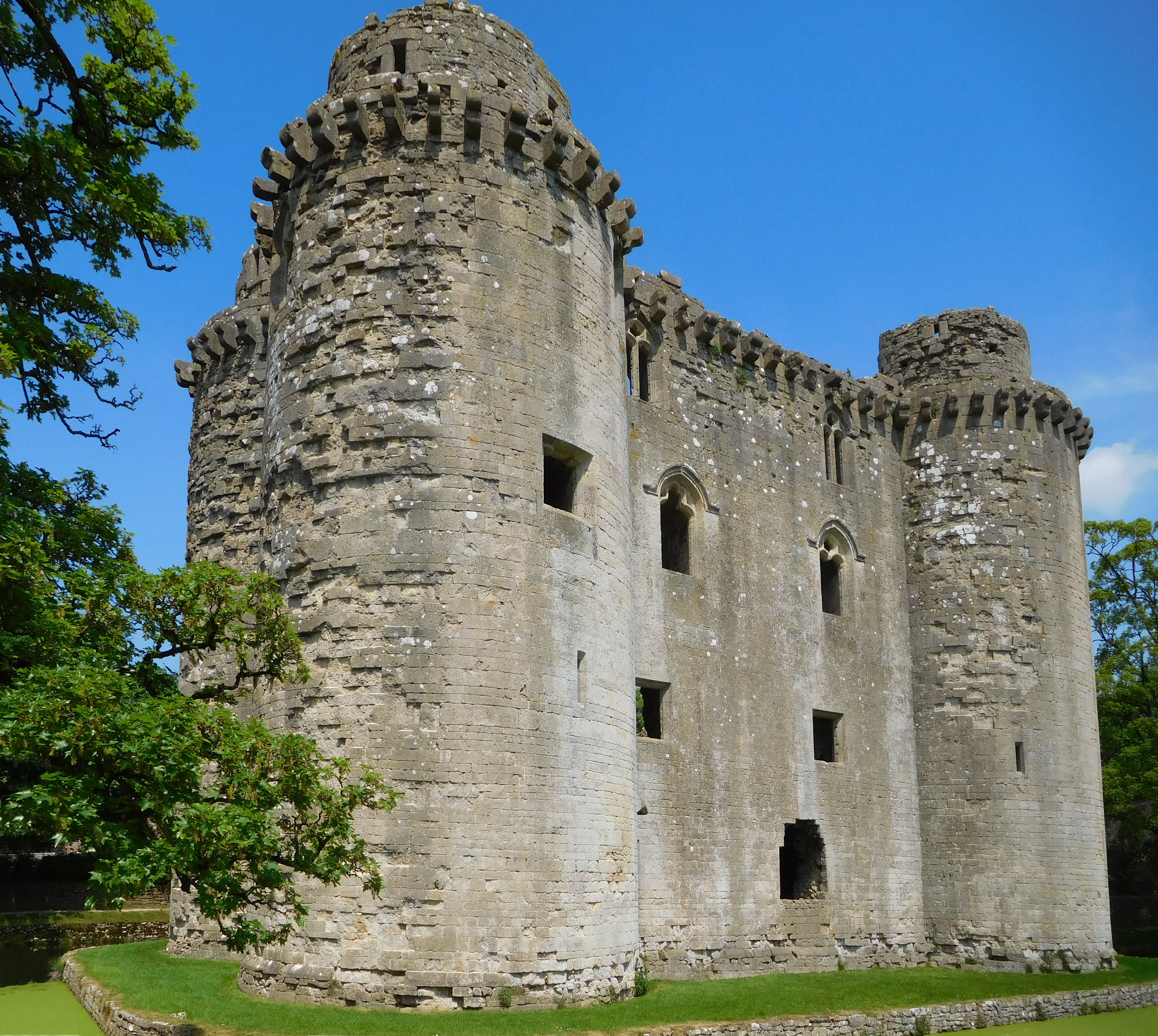
Nunney Castle
Nunney Castle is a medieval castle at Nunney in the English county of Somerset. Built in the late 14th century by Sir John Delamare on the profits of his...

Nunney
Nunney is a village and civil parish in the English county of Somerset. It is located 3 miles (5 km) south-west of Frome and the parish includes the hamlet...
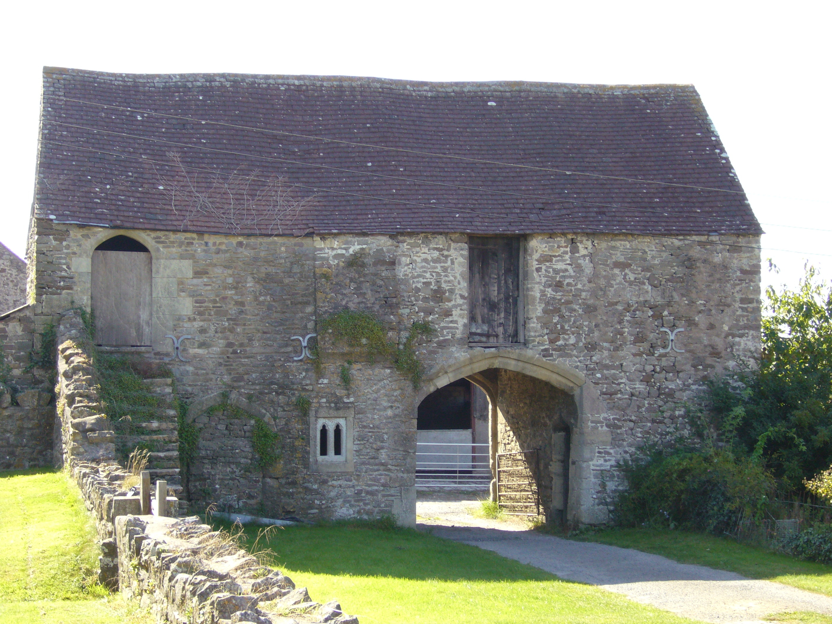
Manor Farmhouse Gatehouse, Whatley
The Manor Farmhouse Gatehouse in Whatley, Somerset, England, was built around 1500 and has been designated as a Grade I listed building.The two-storey...

Church of All Saints, Nunney
The Church of All Saints at Nunney, Somerset, England, is a Grade I listed building dating from the 12th century.It was probably built on the site of an...
Nearby Amenities
Located within 500m of 51.214496,-2.4079676Have you been to Dead Woman's Bottom?
Leave your review of Dead Woman's Bottom below (or comments, questions and feedback).