Bath Dingle

Valley in Shropshire

England

Bath Dingle

On the footpath towards Nordley At this point, the path is a reasonably well-marked affair; this is not so true further northeast.
On the footpath towards Nordley Credit: Richard Law

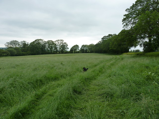
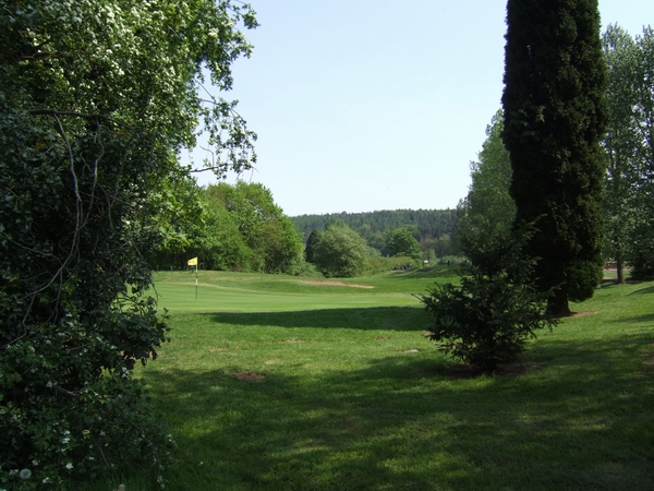
Bath Dingle is a picturesque valley located in Shropshire, England. Nestled amidst rolling hills and lush greenery, this idyllic spot is a popular destination for nature enthusiasts and those seeking tranquility away from the bustling city life.

The valley is named after the small stream that flows through it, known as Bath Brook. The crystal-clear waters of the brook meander through the dingle, creating a soothing atmosphere and providing a habitat for various aquatic species. The stream is also a favorite spot for visitors to relax and dip their feet during warm summer days.

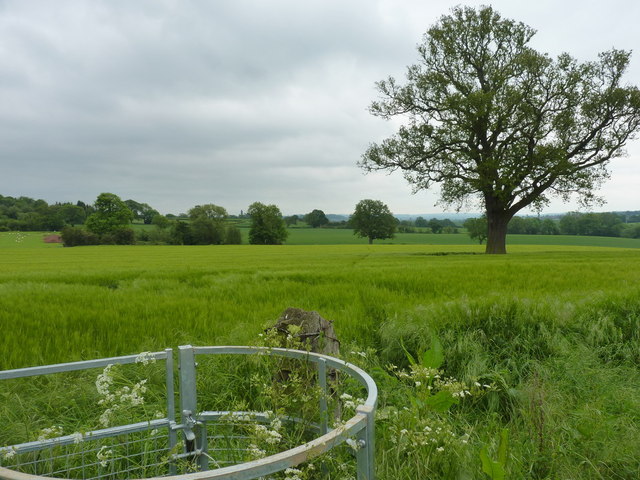
Bath Dingle is home to a diverse range of flora and fauna. The valley is blanketed with a carpet of wildflowers during the spring and summer months, attracting an array of butterflies and bees. The surrounding woodlands are populated by a variety of tree species such as oak, beech, and ash, providing a habitat for birds and small mammals.

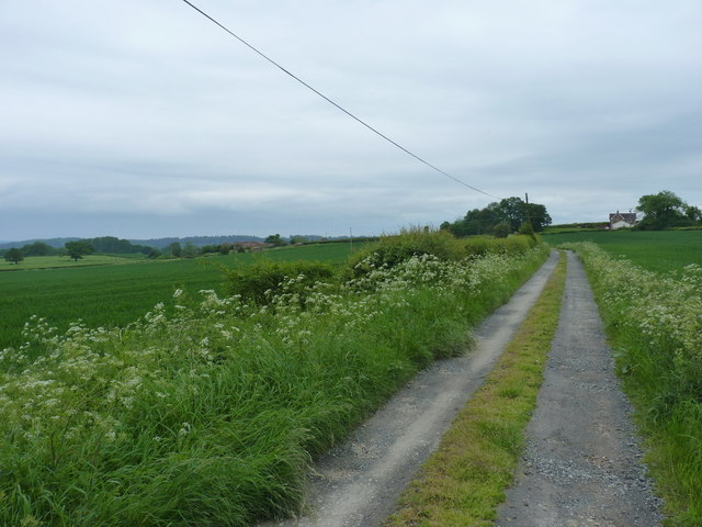
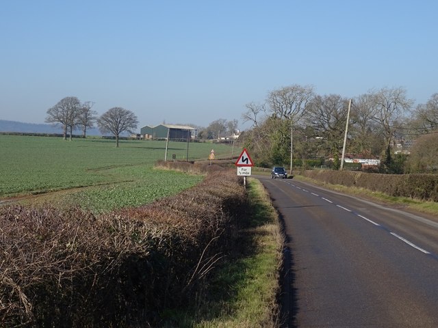
The dingle offers several walking trails, allowing visitors to explore its natural beauty. The paths wind through the valley, offering breathtaking views of the surrounding countryside. The tranquil ambiance and picturesque scenery make Bath Dingle a popular spot for photography enthusiasts and artists.

Additionally, the valley is known for its historical significance. The area is dotted with remnants of ancient settlements, including Iron Age hillforts and Roman ruins, adding to its cultural charm.

Overall, Bath Dingle is a hidden gem in Shropshire, offering a peaceful retreat amidst nature's beauty and a glimpse into the region's rich history.

If you have any feedback on the listing, please let us know in the comments section below.
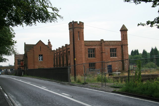
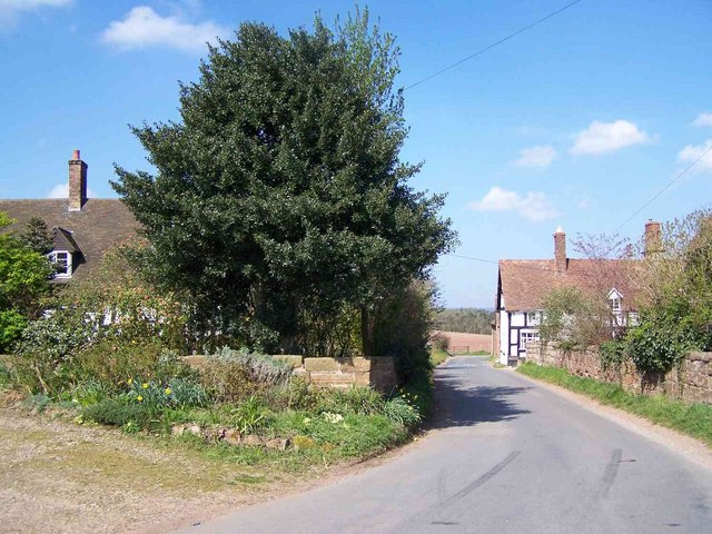
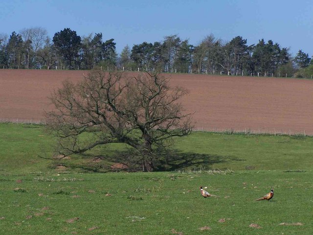
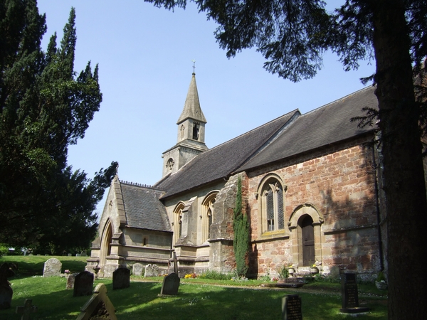
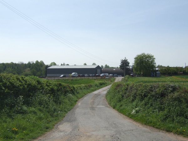
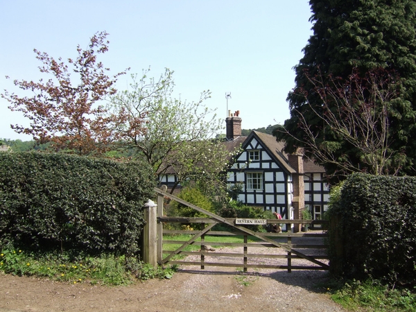
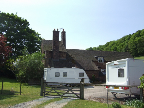
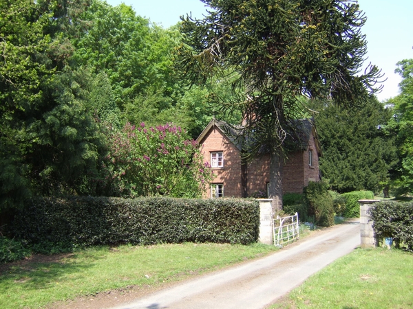
Bath Dingle Images

Images are sourced within 2km of 52.560143/-2.4202702 or Grid Reference SO7195. Thanks to Geograph Open Source API. All images are credited.

On the footpath towards Nordley At this point, the path is a reasonably well-marked affair; this is not so true further northeast.
On the footpath towards Nordley
At this point, the path is a reasonably well-marked affair; this is not so true further northeast.
Footpath back towards Cross Lane Heads Little effort had been made to maintain this path through the crop - Daft Dog and I were forced to wade, thigh deep in my case, through the wet crop. Great fun. All the stiles and gates are in place, but the path is rarely used.
Footpath back towards Cross Lane Heads
Little effort had been made to maintain this path through the crop - Daft Dog and I were forced to wade, thigh deep in my case, through the wet crop. Great fun. All the stiles and gates are in place, but the path is rarely used.
Bridleway down to the two Binnals The white-ish building on the right is Little Binnal, with the farm of Great Binnal just off to the left .
Bridleway down to the two Binnals
The white-ish building on the right is Little Binnal, with the farm of Great Binnal just off to the left .
B4373, Nordley Bridgnorth to Broseley road.
B4373, Nordley
Bridgnorth to Broseley road.
Pendlestone Mills Also known as Fort Pendlestone. Originally there was a corn mill on the site but this is a more recent cotton mill. It was originally water powered but was later supplemented by a vertical steam engine of Yorkshire build. The late George Watkins photographed this in 1953 but it's long gone. The Mills are rather fine but squeezed in beside the road and currently fenced off. Need I say they are being adaptively reused, although it seems to have been ongoing for a couple of years.
Pendlestone Mills
Also known as Fort Pendlestone. Originally there was a corn mill on the site but this is a more recent cotton mill. It was originally water powered but was later supplemented by a vertical steam engine of Yorkshire build. The late George Watkins photographed this in 1953 but it's long gone. The Mills are rather fine but squeezed in beside the road and currently fenced off. Need I say they are being adaptively reused, although it seems to have been ongoing for a couple of years.
Bromley
Bromley
Tree Near Bromley
Tree Near Bromley
St Calixtus's Church In a quiet village off the Broseley to Bridgnorth road.
St Calixtus's Church
In a quiet village off the Broseley to Bridgnorth road.
Barns near Colemore Farm These barns do not seem to be used very much at present.
Barns near Colemore Farm
These barns do not seem to be used very much at present.
The Boldings This is a popular local fishery as can be seen from the number of vehicles parked here on a Saturday morning.
The Boldings
This is a popular local fishery as can be seen from the number of vehicles parked here on a Saturday morning.
Severn Hall This is on the opposite bank to Allscot and is near to Colemore Green.
Severn Hall
This is on the opposite bank to Allscot and is near to Colemore Green.
Little Severn Hall Near to the river north of Bridgnorth. I would not have liked to meet one of these caravans coming up the very narrow lane.
Little Severn Hall
Near to the river north of Bridgnorth. I would not have liked to meet one of these caravans coming up the very narrow lane.
Local facilities in Cross Lane Head A small community on the Broseley to Bridgnorth road.
Local facilities in Cross Lane Head
A small community on the Broseley to Bridgnorth road.
Lodge to Stanley Hall The entrance to the driveway is on the narrow road through the riverside golf course.
Lodge to Stanley Hall
The entrance to the driveway is on the narrow road through the riverside golf course.
Bridgnorth Golf Club A bright Spring day brings out the golfers at Bridgnorth. The golf course leads down towards the River Severn.
Bridgnorth Golf Club
A bright Spring day brings out the golfers at Bridgnorth. The golf course leads down towards the River Severn.
Village Hall at Cross Lane Head Astley Abbotts village hall is in the neighbouring cluster of houses on the main Bridgnorth road.
Village Hall at Cross Lane Head
Astley Abbotts village hall is in the neighbouring cluster of houses on the main Bridgnorth road.
Cottages at the Bridgnorth road junction These cottages at Cross Lane Head are hemmed in between the two roads.
Cottages at the Bridgnorth road junction
These cottages at Cross Lane Head are hemmed in between the two roads.
Abbotts Barn The barns at Cross Lane Farm have been tastefully converted.
Abbotts Barn
The barns at Cross Lane Farm have been tastefully converted.
Show me another place!

Bath Dingle is located at Grid Ref: SO7195 (Lat: 52.560143, Lng: -2.4202702)

Unitary Authority: Shropshire

Police Authority: West Mercia

What 3 Words

///pulse.deform.resurgent. Near Bridgnorth, Shropshire

Related Wikis

Stanley Hall, Shropshire

Stanley Hall, near to Astley Abbotts in Shropshire, England, is a Grade II listed building that first gained its protected status in 1970. It dates probably...

Astley Abbotts

Astley Abbotts is a village and civil parish in Shropshire, England, located immediately north of Bridgnorth, and straddling the B4373 Bridgnorth to Broseley...

River Worfe

The River Worfe is a river in Shropshire, England. The name Worfe is said to derive from the Old English meaning to wander (or meander) which the river...

Apley Hall

Apley Hall is an English Gothic Revival house located in the parish of Stockton near Bridgnorth, Shropshire. The building was completed in 1811 with adjoining...
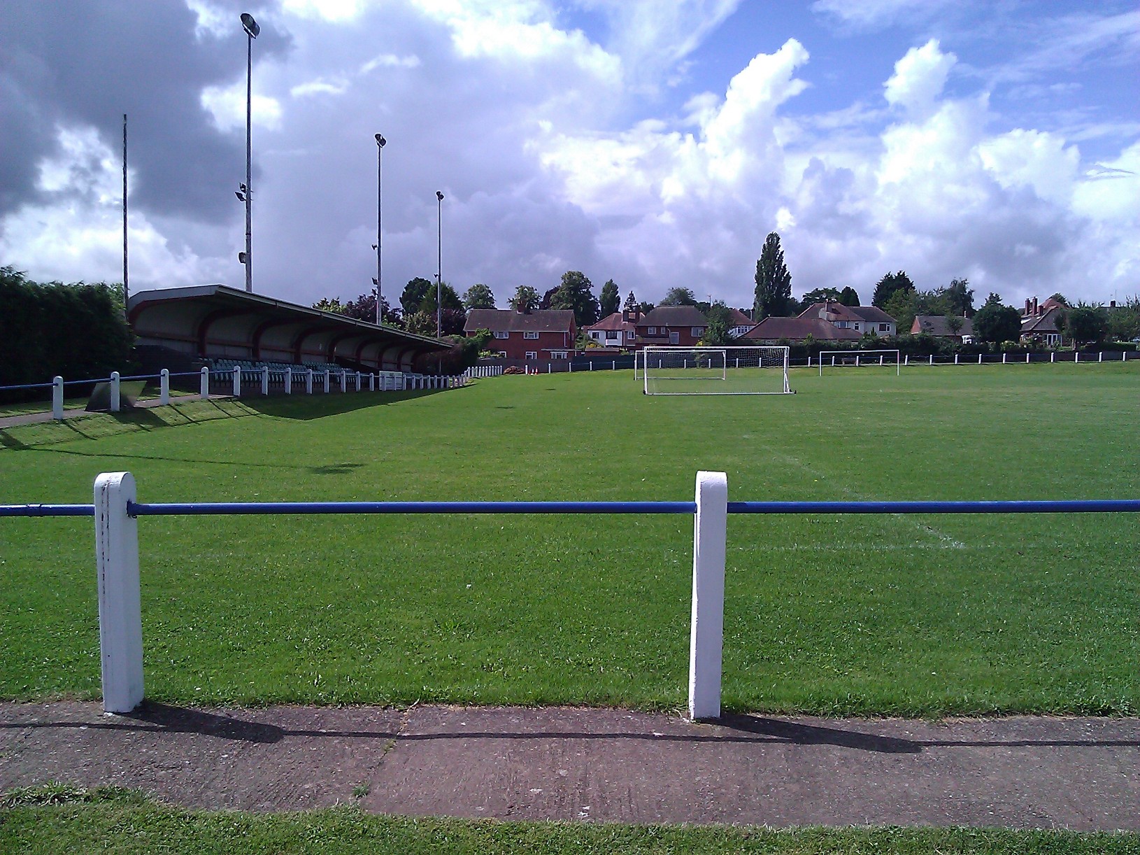
A.F.C. Bridgnorth

AFC Bridgnorth is a football club based in the town of Bridgnorth, Shropshire, England. They are currently members of the Midland League Division One and...

Bridgnorth Endowed School

Bridgnorth Endowed School is a coeducational secondary school with academy status, located in the market town of Bridgnorth in the rural county of Shropshire...

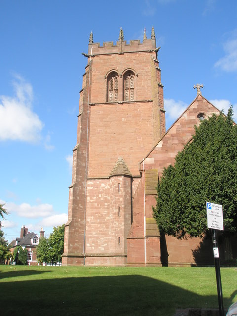
St Leonard's Church, Bridgnorth

St Leonard's Church is a redundant Anglican church in Bridgnorth, Shropshire, England. It is recorded in the National Heritage List for England as a designated...

Tasley, Shropshire

Tasley is a village and civil parish in Shropshire, England.It is located to the immediate west of the town of Bridgnorth, and the A458 road passes through...

Nearby Amenities

Located within 500m of 52.560143,-2.4202702
Azure Creative Web Design
Addr City: Bridgnorth
Addr Housename: Garden House
Addr Postcode: WV16 4SP
Addr Street: Stanley Hall, Astley Abbots
Lat/Long: 52.5609488/-2.4177792
Power: pole
Lat/Long: 52.5593393/-2.4272785
Power: pole
Lat/Long: 52.5602655/-2.4267554
Power: pole
Lat/Long: 52.5612814/-2.4265409
Power: pole
Lat/Long: 52.5619238/-2.4263504
The data included in this document is from www.openstreetmap.org. The data is made available under ODbL.

Have you been to Bath Dingle?

Leave your review of Bath Dingle below (or comments, questions and feedback).