Ruins Dingle

Valley in Shropshire

England

Ruins Dingle

Kingsley Farm from the west
Kingsley Farm from the west Credit: Richard Law

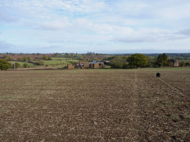
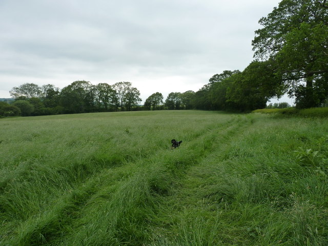
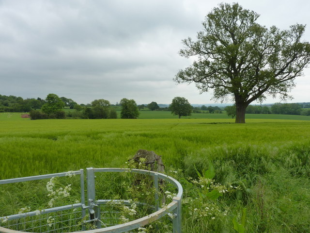
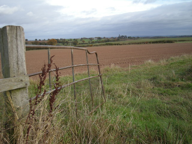
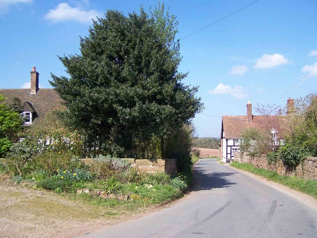
Ruins Dingle, located in Shropshire, England, is a picturesque valley renowned for its historic ruins and natural beauty. Nestled amidst lush greenery, this secluded valley offers a tranquil retreat for visitors seeking a serene and peaceful environment.

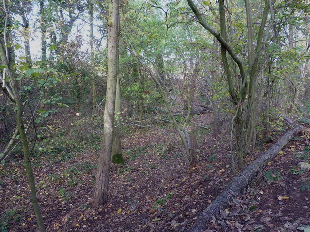
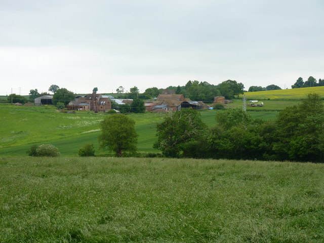
The main attraction of Ruins Dingle is the ancient ruins that dot the landscape. These ruins, believed to date back to the medieval period, provide a glimpse into the region's rich history. Visitors can explore the remnants of old stone buildings, walls, and even a dilapidated castle, which add a sense of mystery and intrigue to the valley.

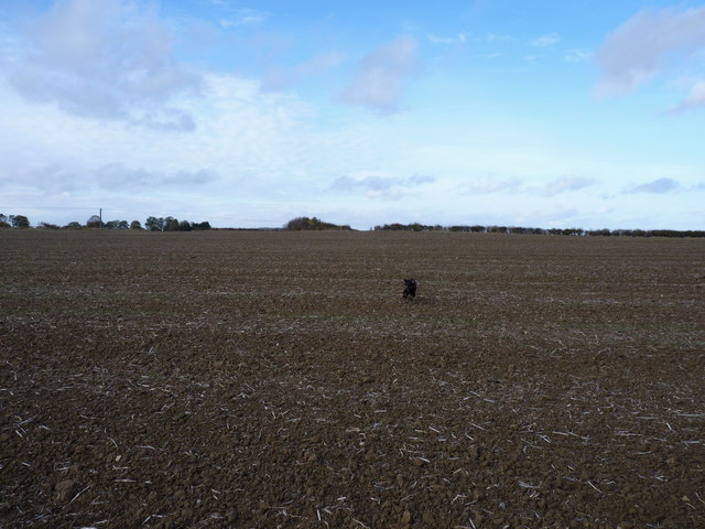
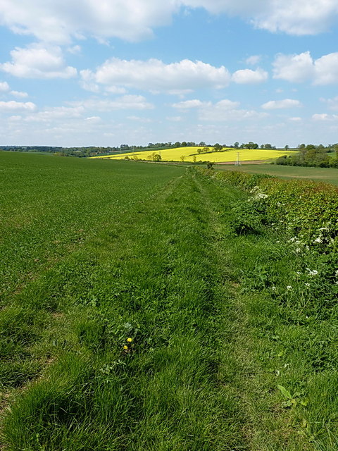
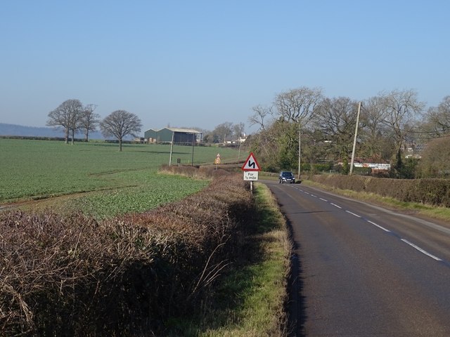
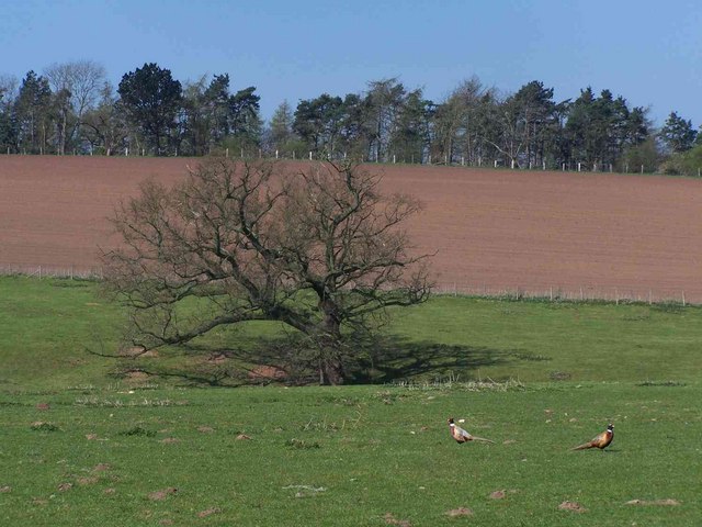
The natural scenery of Ruins Dingle is equally captivating. Tall trees, wildflowers, and a meandering stream create a picturesque setting, perfect for nature enthusiasts and photographers. The valley is also home to a diverse array of wildlife, including various bird species, rabbits, and foxes, making it a haven for wildlife lovers.

The valley's well-maintained walking trails offer visitors the opportunity to explore the area at their own pace. Whether it's a leisurely stroll or a more challenging hike, the trails cater to all fitness levels and provide breathtaking views of the surrounding countryside.

For those seeking a bit of relaxation, there are several picnic spots scattered throughout Ruins Dingle, allowing visitors to unwind and enjoy the natural beauty of the valley while savoring a packed lunch.

Overall, Ruins Dingle in Shropshire is a hidden gem that combines history, nature, and tranquility, making it a must-visit destination for those seeking a peaceful escape from the hustle and bustle of everyday life.

If you have any feedback on the listing, please let us know in the comments section below.

Ruins Dingle Images

Images are sourced within 2km of 52.556523/-2.4219466 or Grid Reference SO7195. Thanks to Geograph Open Source API. All images are credited.

Kingsley Farm from the west
"Yes, dad, you called?" Barkley comes charging back down the footpath in response to a whistle; there can't have been any pheasants around at that moment.
"Yes, dad, you called?"
Barkley comes charging back down the footpath in response to a whistle; there can't have been any pheasants around at that moment.
The pond bay in Trinity Wood Normally the remains of a medieval fishpond or some such; this certainly has that look about it, although the details are hard to make out in the picture. An oval depression is surrounded by banks approximately 10' high.
The pond bay in Trinity Wood
Normally the remains of a medieval fishpond or some such; this certainly has that look about it, although the details are hard to make out in the picture. An oval depression is surrounded by banks approximately 10' high.
Kingsley Farm from the north east
On the footpath towards Nordley At this point, the path is a reasonably well-marked affair; this is not so true further northeast.
On the footpath towards Nordley
At this point, the path is a reasonably well-marked affair; this is not so true further northeast.
Footpath back towards Cross Lane Heads Little effort had been made to maintain this path through the crop - Daft Dog and I were forced to wade, thigh deep in my case, through the wet crop. Great fun. All the stiles and gates are in place, but the path is rarely used.
Footpath back towards Cross Lane Heads
Little effort had been made to maintain this path through the crop - Daft Dog and I were forced to wade, thigh deep in my case, through the wet crop. Great fun. All the stiles and gates are in place, but the path is rarely used.
Bridleway heading for Nordley Just a field-edge path, but apparently fairly well used by the local horse riders.
Bridleway heading for Nordley
Just a field-edge path, but apparently fairly well used by the local horse riders.
B4373, Nordley Bridgnorth to Broseley road.
B4373, Nordley
Bridgnorth to Broseley road.
Through a gate to a field
Cliff Railway from Low Town to High Town, Bridgnorth, Shropshire
Bridgnorth: High Town This view of High Town from the bridge is situated in the south eastern section of the grid square. This square is largely town.
Bridgnorth: High Town
This view of High Town from the bridge is situated in the south eastern section of the grid square. This square is largely town.
Bridgnorth: High Rock The red sandstone rock overlooks the town of Bridgnorth and is situated in the northern section of the grid square.
Bridgnorth: High Rock
The red sandstone rock overlooks the town of Bridgnorth and is situated in the northern section of the grid square.
Bridgnorth: Marketplace This old building was the old market and is situated in the south eastern section of the grid square. The picture was taken from the south side of the building.
Bridgnorth: Marketplace
This old building was the old market and is situated in the south eastern section of the grid square. The picture was taken from the south side of the building.
Bridgnorth Fire Station The title just about sums it up...
Bridgnorth Fire Station
The title just about sums it up...
Pendlestone Mills Also known as Fort Pendlestone. Originally there was a corn mill on the site but this is a more recent cotton mill. It was originally water powered but was later supplemented by a vertical steam engine of Yorkshire build. The late George Watkins photographed this in 1953 but it's long gone. The Mills are rather fine but squeezed in beside the road and currently fenced off. Need I say they are being adaptively reused, although it seems to have been ongoing for a couple of years.
Pendlestone Mills
Also known as Fort Pendlestone. Originally there was a corn mill on the site but this is a more recent cotton mill. It was originally water powered but was later supplemented by a vertical steam engine of Yorkshire build. The late George Watkins photographed this in 1953 but it's long gone. The Mills are rather fine but squeezed in beside the road and currently fenced off. Need I say they are being adaptively reused, although it seems to have been ongoing for a couple of years.
Bromley
Bromley
Tree Near Bromley
Tree Near Bromley
St Calixtus's Church In a quiet village off the Broseley to Bridgnorth road.
St Calixtus's Church
In a quiet village off the Broseley to Bridgnorth road.
Show me another place!

Ruins Dingle is located at Grid Ref: SO7195 (Lat: 52.556523, Lng: -2.4219466)

Unitary Authority: Shropshire

Police Authority: West Mercia

What 3 Words

///handover.digs.remedy. Near Bridgnorth, Shropshire

Related Wikis

Stanley Hall, Shropshire

Stanley Hall, near to Astley Abbotts in Shropshire, England, is a Grade II listed building that first gained its protected status in 1970. It dates probably...

Astley Abbotts

Astley Abbotts is a village and civil parish in Shropshire, England, located immediately north of Bridgnorth, and straddling the B4373 Bridgnorth to Broseley...

River Worfe

The River Worfe is a river in Shropshire, England. The name Worfe is said to derive from the Old English meaning to wander (or meander) which the river...
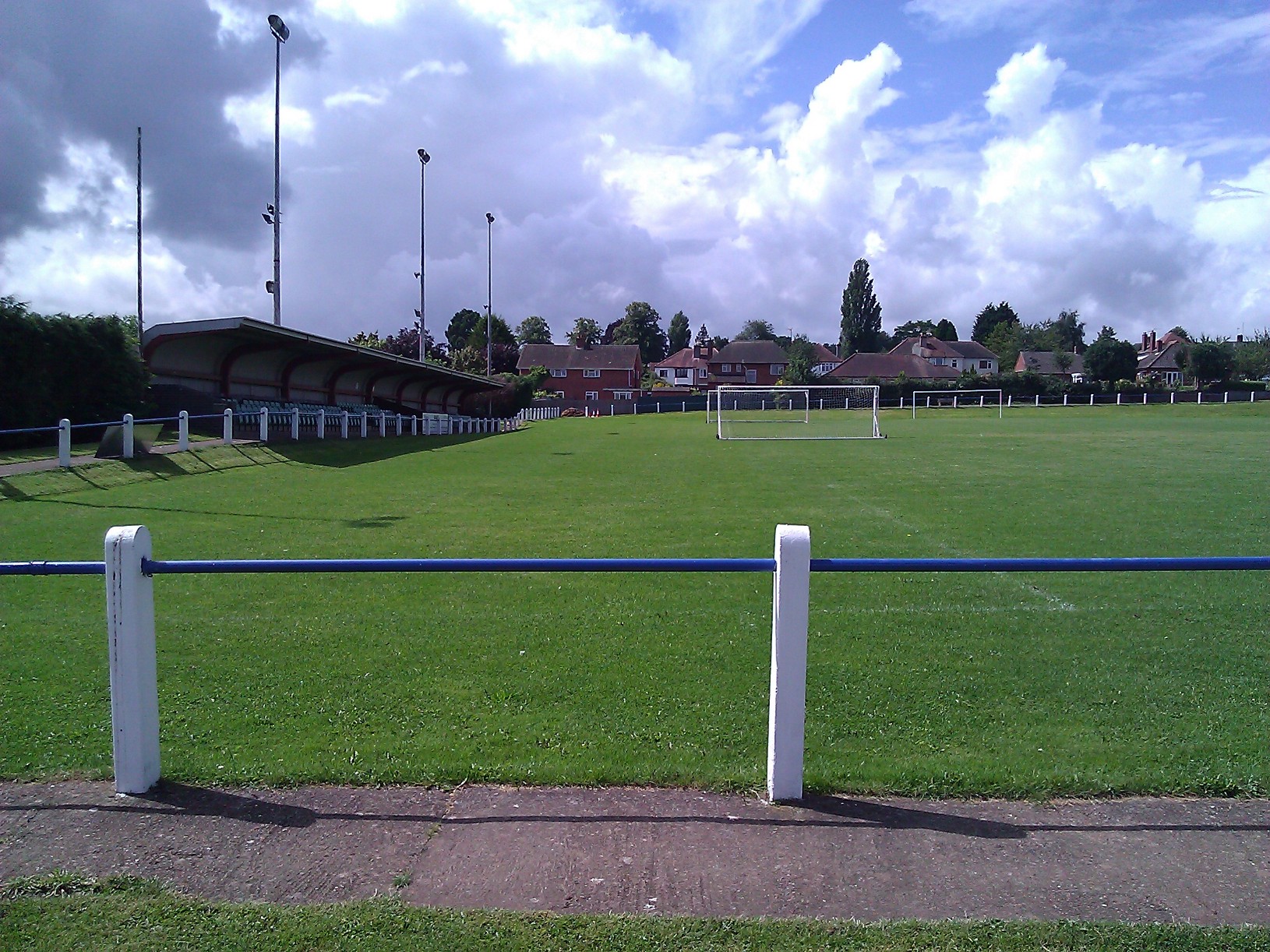
A.F.C. Bridgnorth

AFC Bridgnorth is a football club based in the town of Bridgnorth, Shropshire, England. They are currently members of the Midland League Division One and...

Bridgnorth Endowed School

Bridgnorth Endowed School is a coeducational secondary school with academy status, located in the market town of Bridgnorth in the rural county of Shropshire...

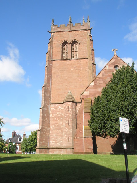
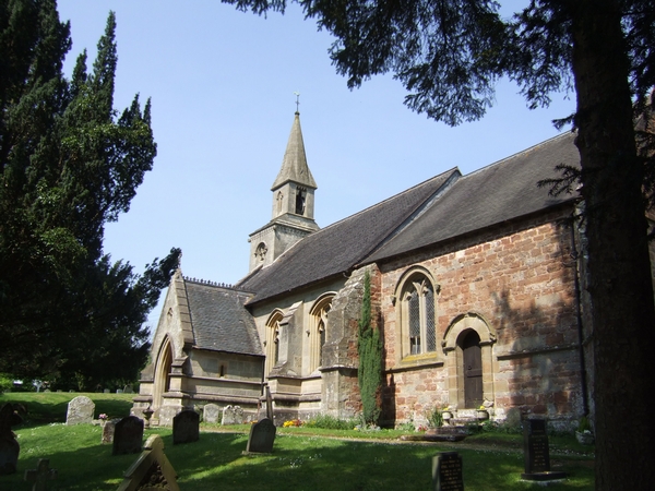
St Leonard's Church, Bridgnorth

St Leonard's Church is a redundant Anglican church in Bridgnorth, Shropshire, England. It is recorded in the National Heritage List for England as a designated...

Tasley, Shropshire

Tasley is a village and civil parish in Shropshire, England.It is located to the immediate west of the town of Bridgnorth, and the A458 road passes through...

Majestic Cinema, Bridgnorth

The Majestic Cinema is the only working cinema in Bridgnorth, Shropshire, England. It opened in 1937, and has three screens, a large screen with around...

Nearby Amenities

Located within 500m of 52.556523,-2.4219466
Power: pole
Lat/Long: 52.552774/-2.4231693
Power: pole
Lat/Long: 52.5540868/-2.424269
Power: pole
Lat/Long: 52.555212/-2.4252534
Power: pole
Lat/Long: 52.5561563/-2.4260983
Power: pole
Lat/Long: 52.5570091/-2.4267742
Power: pole
Lat/Long: 52.5580821/-2.4268708
Power: pole
Lat/Long: 52.5593393/-2.4272785
The data included in this document is from www.openstreetmap.org. The data is made available under ODbL.

Have you been to Ruins Dingle?

Leave your review of Ruins Dingle below (or comments, questions and feedback).