Bulls Green
Settlement in Somerset Mendip
England
Bulls Green
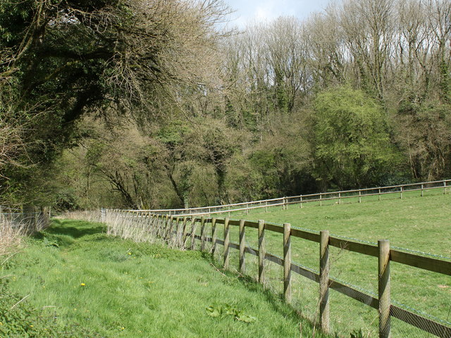
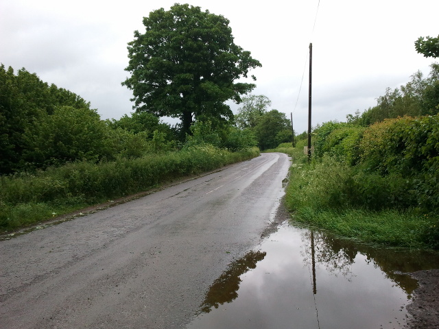
![2011 : Track through Asham Wood Wikipedia has this to say:
"Asham Wood is the largest and most diverse of the ancient semi-natural woods in the Mendips. It has been the subject of controversy and attempts to protect the environment from increased quarrying activity in the area.
The wood occupies 2 deep valleys and the intervening plateau. Most of the underlying rocks are calcareous Carboniferous Limestone and Shales, but Devonian Portishead Beds outcrop along the northern valley. There [is] a range of unusual flora and fauna.
At Asham Wood near Frome coppicing and 50 dormouse boxes have been introduced in order to encourage nesting. The boxes are monitored and dormice numbers are recorded.&quot; <span class="nowrap"><a title="http://en.wikipedia.org/wiki/Asham_Wood" rel="nofollow ugc noopener" href="http://en.wikipedia.org/wiki/Asham_Wood">Link</a><img style="margin-left:2px;" alt="External link" title="External link - shift click to open in new window" src="https://s1.geograph.org.uk/img/external.png" width="10" height="10"/></span>
The only access to Asham Wood from the road is on the north east edge near Dead Womans Bottom, otherwise it is by footpath.](https://s0.geograph.org.uk/geophotos/02/35/76/2357688_98ea92cb.jpg)
Bulls Green is a small village located in the county of Somerset, England. Situated in the South West of the country, it lies approximately 7 miles north of the town of Taunton. The village is nestled in picturesque countryside, characterized by rolling hills and lush green fields.
The history of Bulls Green dates back many centuries, with evidence of human settlement in the area dating as far back as the Bronze Age. Today, it is a quiet and tranquil village, offering a peaceful escape from the hustle and bustle of city life.
One of the notable landmarks in Bulls Green is the St. Mary's Church, a charming medieval building that stands as a testament to the village's rich heritage. The church features beautiful stained glass windows and intricate architectural details, attracting visitors and locals alike.
The village is primarily residential, with a close-knit community that takes pride in its strong sense of community spirit. Bulls Green is home to a mix of traditional cottages and modern houses, providing a range of housing options for residents.
Despite its small size, Bulls Green benefits from its proximity to Taunton, which offers a wider range of amenities and services. This allows residents to enjoy the tranquility of village life while having access to larger towns for work, education, and leisure activities.
Overall, Bulls Green is a charming village that offers a peaceful and idyllic lifestyle for its residents. With its rich history, beautiful countryside, and strong community spirit, it is a place that captures the essence of rural Somerset.
If you have any feedback on the listing, please let us know in the comments section below.
Bulls Green Images
Images are sourced within 2km of 51.217092/-2.413759 or Grid Reference ST7146. Thanks to Geograph Open Source API. All images are credited.
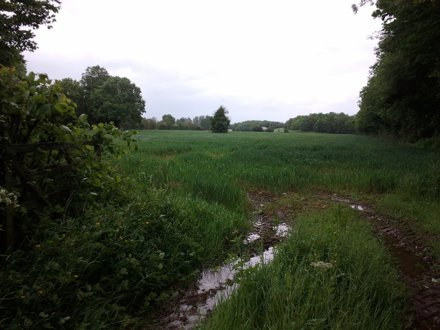
![2011 : Track through Asham Wood Wikipedia has this to say:
&quot;Asham Wood is the largest and most diverse of the ancient semi-natural woods in the Mendips. It has been the subject of controversy and attempts to protect the environment from increased quarrying activity in the area.
The wood occupies 2 deep valleys and the intervening plateau. Most of the underlying rocks are calcareous Carboniferous Limestone and Shales, but Devonian Portishead Beds outcrop along the northern valley. There [is] a range of unusual flora and fauna.
At Asham Wood near Frome coppicing and 50 dormouse boxes have been introduced in order to encourage nesting. The boxes are monitored and dormice numbers are recorded.&quot; <span class="nowrap"><a title="http://en.wikipedia.org/wiki/Asham_Wood" rel="nofollow ugc noopener" href="http://en.wikipedia.org/wiki/Asham_Wood">Link</a><img style="margin-left:2px;" alt="External link" title="External link - shift click to open in new window" src="https://s1.geograph.org.uk/img/external.png" width="10" height="10"/></span>
The only access to Asham Wood from the road is on the north east edge near Dead Womans Bottom, otherwise it is by footpath.](https://s0.geograph.org.uk/geophotos/02/35/77/2357700_9db66174.jpg)


Bulls Green is located at Grid Ref: ST7146 (Lat: 51.217092, Lng: -2.413759)
Administrative County: Somerset
District: Mendip
Police Authority: Avon and Somerset
What 3 Words
///roughness.pushed.skid. Near Frome, Somerset
Nearby Locations
Related Wikis

Asham Wood
Asham Wood (grid reference ST705460) is a 140.6-hectare (347-acre) biological Site of Special Scientific Interest east of Downhead and south of Leigh-on...

Halecombe
Halecombe is a limestone quarry near Leigh-on-Mendip on the Mendip Hills, Somerset, England. The quarry exhibits pale to dark grey well-bedded Carboniferous...

Colemans Quarry
Colemans Quarry, grid reference ST726452 is a limestone quarry at Holwell, near Nunney on the Mendip Hills, Somerset, England. The Colemans Quarry complex...

Leigh-on-Mendip
Leigh-on-Mendip or Leigh upon Mendip (on Ordnance Survey maps) is a small village on the Mendip Hills in Somerset, England. It lies roughly equidistant...
Nearby Amenities
Located within 500m of 51.217092,-2.413759Have you been to Bulls Green?
Leave your review of Bulls Green below (or comments, questions and feedback).