Loscombe Bottom

Valley in Dorset

England

Loscombe Bottom

Sydling St Nicholas: the ford and pedestrian bridge
Sydling St Nicholas: the ford and pedestrian bridge Credit: Keith Salvesen

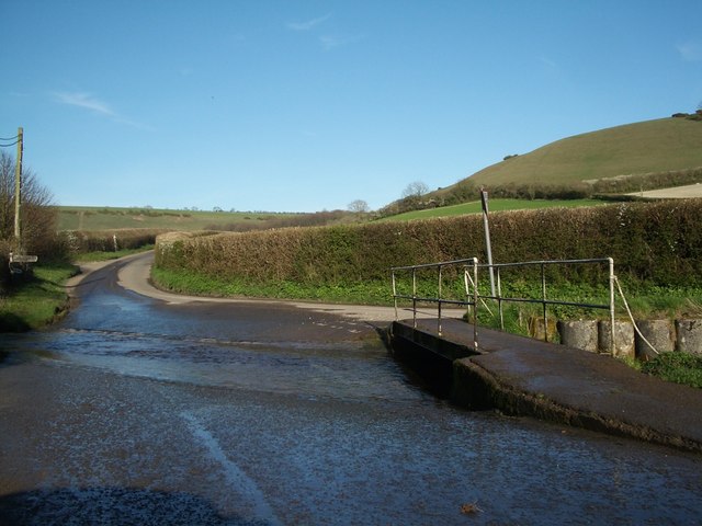
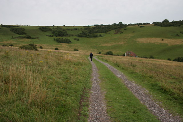
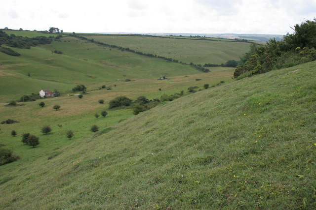
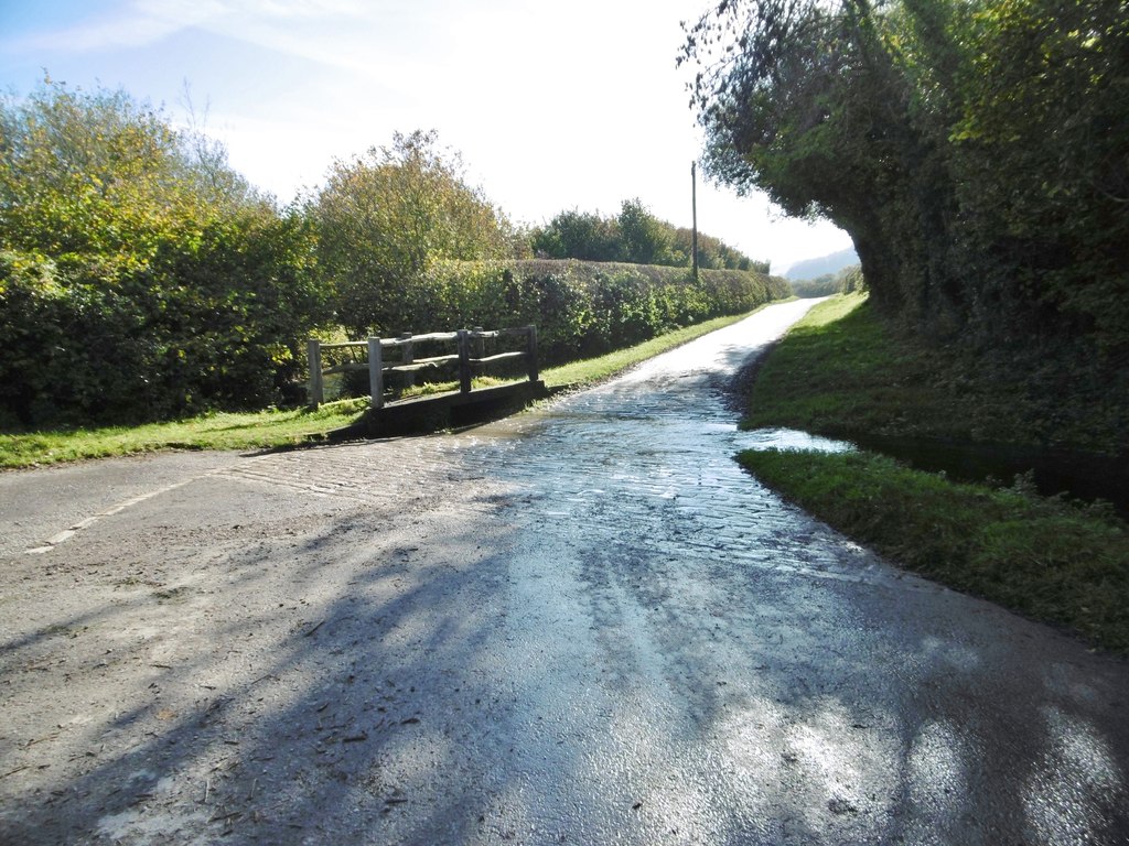
Loscombe Bottom is a picturesque valley situated in the county of Dorset, England. Nestled within the tranquil countryside, it is located approximately 4 miles west of the market town of Bridport. The valley is renowned for its natural beauty, offering visitors a peaceful and serene environment.

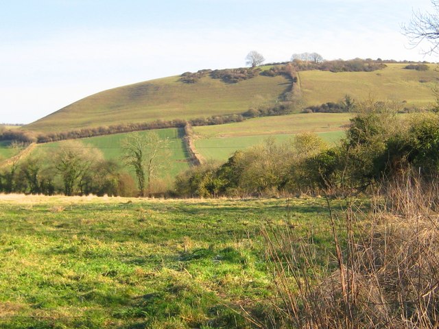
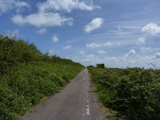
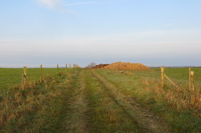
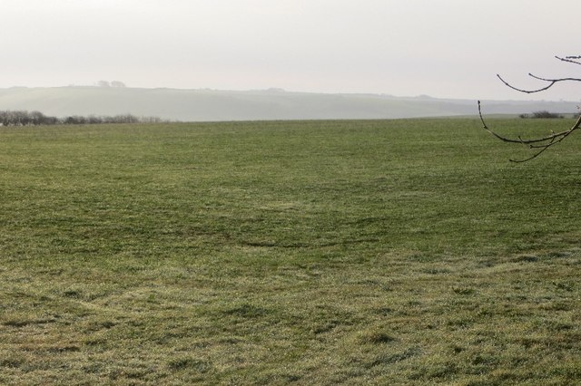
Surrounded by rolling hills and lush greenery, Loscombe Bottom boasts breathtaking views and an abundance of wildlife. It is home to a diverse range of plant and animal species, making it a popular spot for nature enthusiasts and hikers. The valley is crisscrossed by numerous walking trails, allowing visitors to explore its hidden gems and discover its natural wonders.

One of the standout features of Loscombe Bottom is the River Bride, which meanders through the valley, adding to its charm. The river not only provides a picturesque backdrop but also offers opportunities for fishing and picnicking along its banks. The area is also known for its ancient woodland, which adds to the enchanting atmosphere of the valley.

Loscombe Bottom offers a sense of tranquility and escape from the hustle and bustle of everyday life. Its unspoiled beauty and peaceful ambience make it an idyllic destination for those seeking relaxation and a connection with nature. Whether it's a leisurely stroll, a picnic by the river, or simply taking in the breathtaking views, Loscombe Bottom provides an unforgettable experience for visitors of all ages.

If you have any feedback on the listing, please let us know in the comments section below.

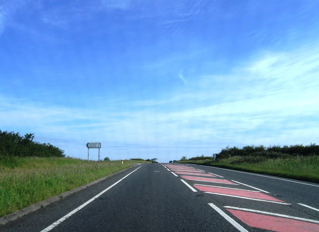
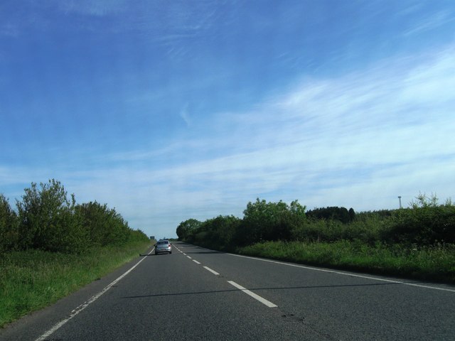
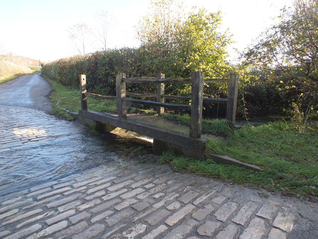
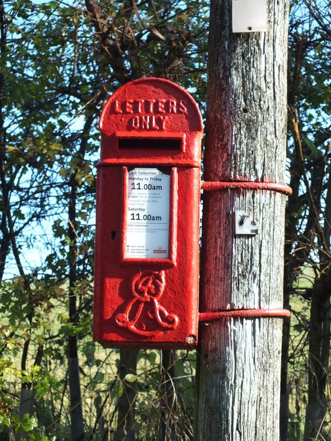
Loscombe Bottom Images

Images are sourced within 2km of 50.802994/-2.5363463 or Grid Reference ST6200. Thanks to Geograph Open Source API. All images are credited.

Sydling St Nicholas: the ford and pedestrian bridge
Cowdown Hill - Sydling St Nicholas Cowdown Hill is one of the steep chalk hills sheltering the north-easterly tip of the village of Sydling St Nicholas. It stands 711ft above sea level and in the summer months orchids can be found growing upon its steep sides.
Cowdown Hill - Sydling St Nicholas
Cowdown Hill is one of the steep chalk hills sheltering the north-easterly tip of the village of Sydling St Nicholas. It stands 711ft above sea level and in the summer months orchids can be found growing upon its steep sides.
A37 northbound
A37 northbound
A37 northbound
A37 northbound
A37 northbound
A37 northbound
A37 northbound
A37 northbound
Ford over Sydling Water
Ford, Up Sydling A footbridge over Sydling water at the ford.
Ford, Up Sydling
A footbridge over Sydling water at the ford.
Post box, Up Sydling The telegraph pole that this wonderful old post box is attached to seems to be on its last legs. Hopefully when it's replaced the post box will be reinstated rather than replaced with a modern plastic one?
Post box, Up Sydling
The telegraph pole that this wonderful old post box is attached to seems to be on its last legs. Hopefully when it's replaced the post box will be reinstated rather than replaced with a modern plastic one?
A37 northbound
A37 northbound
A37 northbound
A37 northbound
A37 northbound, Stagg's Folly
The track to Lankham Bottom Lankham Bottom is a nature reserve in an area of chalk downland managed by Butterfly Conservation. A wide variety of butterflies and moths occur there.
The track to Lankham Bottom
Lankham Bottom is a nature reserve in an area of chalk downland managed by Butterfly Conservation. A wide variety of butterflies and moths occur there.
Lankham Bottom Looking down the south-facing slope of the Butterfly Conservation reserve.
Lankham Bottom
Looking down the south-facing slope of the Butterfly Conservation reserve.
Old minor road to Cerne Abbas This erstwhile road is now a footpath at Stagg's Folly. I think it was once an extension of the minor road from Cattistock to Cerne Abbas which now finishes when that road meets the A37.
Old minor road to Cerne Abbas
This erstwhile road is now a footpath at Stagg's Folly. I think it was once an extension of the minor road from Cattistock to Cerne Abbas which now finishes when that road meets the A37.
Track off Long Ash Lane A contrast to the growing mayhem on the A37 behind me. Again there is a muck pile awaiting spreading.
Track off Long Ash Lane
A contrast to the growing mayhem on the A37 behind me. Again there is a muck pile awaiting spreading.
Ayles's Hill Pasture on top of the downs. It looks peaceful, straight out of a Hardy novel, but there is a lot of traffic behind me on Long Ash Lane (A37).
Ayles's Hill
Pasture on top of the downs. It looks peaceful, straight out of a Hardy novel, but there is a lot of traffic behind me on Long Ash Lane (A37).
Long Ash Lane Approaching the blessed time when could get off this wretched road.  The A37 passes the head of Lankham Bottom.
Long Ash Lane
Approaching the blessed time when could get off this wretched road. The A37 passes the head of Lankham Bottom.
Show me another place!

Loscombe Bottom is located at Grid Ref: ST6200 (Lat: 50.802994, Lng: -2.5363463)

Unitary Authority: Dorset

Police Authority: Dorset

What 3 Words

///tailed.pupils.musically. Near Maiden Newton, Dorset

Related Wikis

Sydling Water

The Sydling Water is an 8 km (5 mi) long river in Dorset, England, which flows from north to south from Up Sydling until it joins the River Frome near...

Up Sydling

Up Sydling is a hamlet in west Dorset, England. It is situated at the head of Sydling Water, a tributary of the River Frome, ten miles north of Dorchester...

Sydling St Nicholas

Sydling St Nicholas is a village and civil parish in Dorset within southwest England. The parish is 5 to 9 miles (8.0 to 14.5 km) northwest of the county...

Shearplace Hill Enclosure

The Shearplace Hill Enclosure is an archaeological site of the Bronze Age, about 1.5 miles (2.4 km) south-west of Cerne Abbas in Dorset, England. It is...

Nearby Amenities

Located within 500m of 50.802994,-2.5363463
ancient village
Historic: archaeological_site
Source: NPE
Lat/Long: 50.7998068/-2.5383162
tumulus
Historic: archaeological_site
Source: NPE
Lat/Long: 50.8050143/-2.5378441
The data included in this document is from www.openstreetmap.org. The data is made available under ODbL.

Have you been to Loscombe Bottom?

Leave your review of Loscombe Bottom below (or comments, questions and feedback).