Peak End Hill
Hill, Mountain in Dorset
England
Peak End Hill
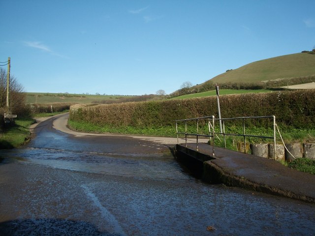
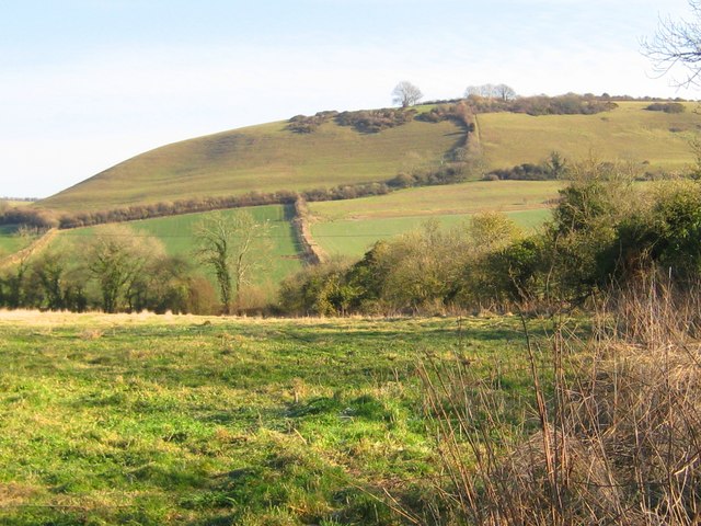
Peak End Hill is a prominent geographical feature located in the county of Dorset, England. Situated near the village of Evershot, this hill stands at an elevation of 251 meters (823 feet) above sea level, making it a notable landmark in the region.
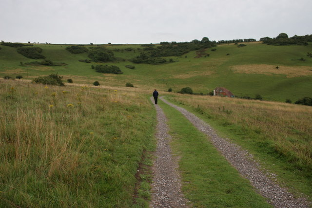
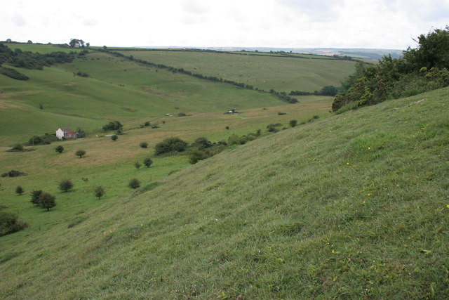
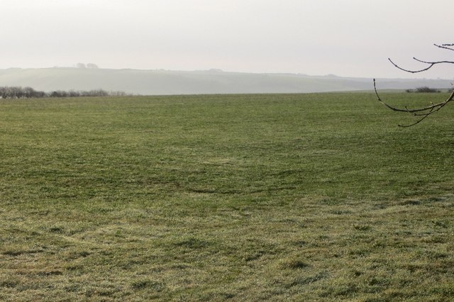
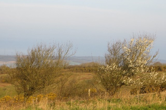
The hill's name, Peak End, is derived from its distinctive shape, which resembles a peak rising sharply towards its summit. Covered in lush greenery, it offers breathtaking panoramic views of the surrounding countryside, making it a popular destination for nature enthusiasts and hikers. The hill is also home to a diverse range of flora and fauna, including rare species of butterflies and wildflowers.
At the summit of Peak End Hill, there is a trig point, a concrete pillar used in geodesy to establish accurate measurements of distance and angles. This trig point serves as a reference point for mapping and surveying purposes, further highlighting the hill's significance in the area.
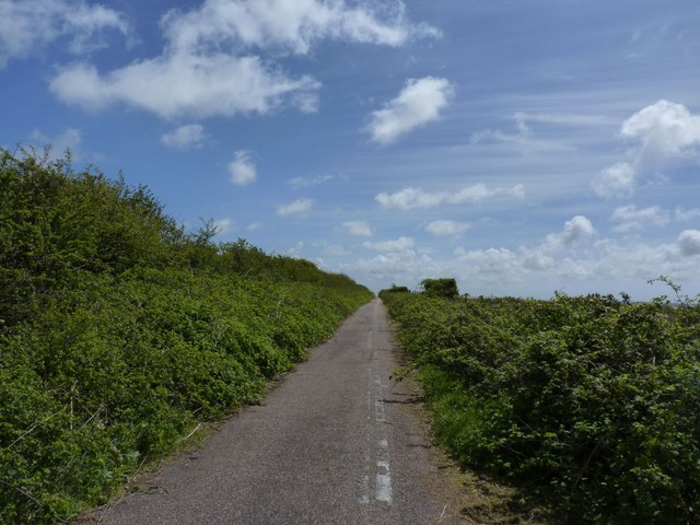
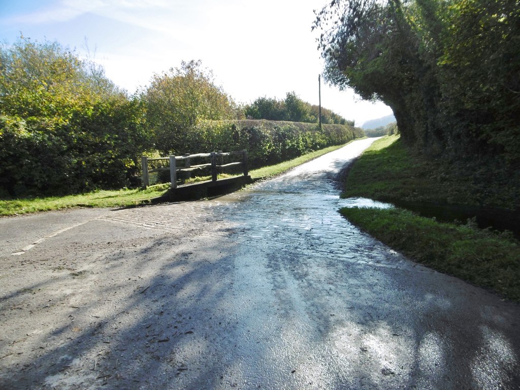
The hill is accessible via well-defined pathways and trails, offering visitors the opportunity to explore its natural beauty. Its location within the Dorset Area of Outstanding Natural Beauty ensures that it remains largely unspoiled and provides a tranquil escape from the hustle and bustle of everyday life.
Overall, Peak End Hill in Dorset offers a scenic and serene experience for both locals and tourists, providing a glimpse into the natural wonders that this region has to offer.
If you have any feedback on the listing, please let us know in the comments section below.
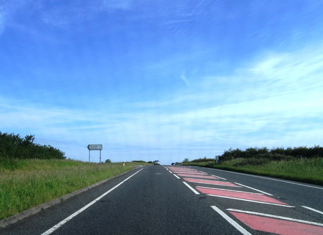
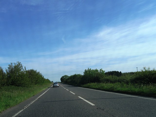
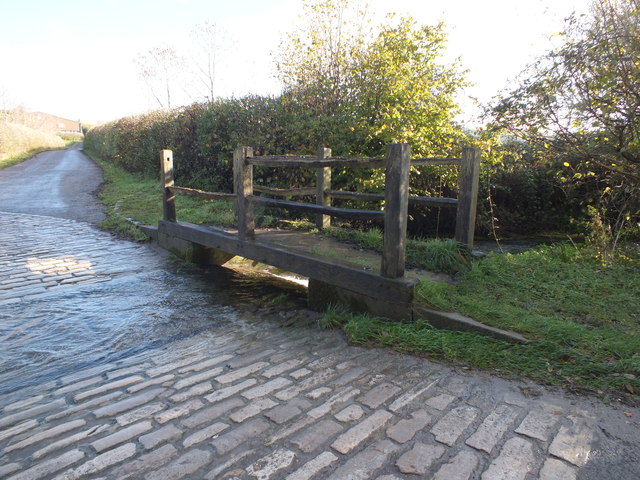
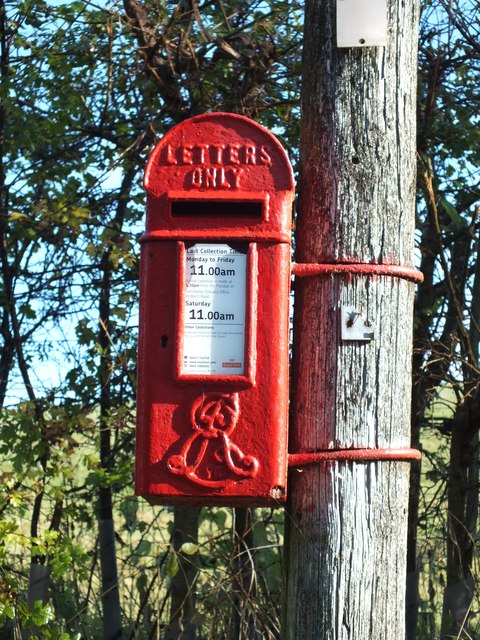
Peak End Hill Images
Images are sourced within 2km of 50.799076/-2.5376778 or Grid Reference ST6200. Thanks to Geograph Open Source API. All images are credited.

Peak End Hill is located at Grid Ref: ST6200 (Lat: 50.799076, Lng: -2.5376778)
Unitary Authority: Dorset
Police Authority: Dorset
What 3 Words
///crabmeat.slowly.worthy. Near Maiden Newton, Dorset
Nearby Locations
Related Wikis

Sydling St Nicholas
Sydling St Nicholas is a village and civil parish in Dorset within southwest England. The parish is 5 to 9 miles (8.0 to 14.5 km) northwest of the county...

Sydling Water
The Sydling Water is an 8 km (5 mi) long river in Dorset, England, which flows from north to south from Up Sydling until it joins the River Frome near...
Up Sydling
Up Sydling is a hamlet in west Dorset, England. It is situated at the head of Sydling Water, a tributary of the River Frome, ten miles north of Dorchester...

Shearplace Hill Enclosure
The Shearplace Hill Enclosure is an archaeological site of the Bronze Age, about 1.5 miles (2.4 km) south-west of Cerne Abbas in Dorset, England. It is...

Hog Cliff
Hog Cliff is a national nature reserve (NNR) and Site of Special Scientific Interest (SSSI) located 2 kilometres (1.2 mi) south east of Maiden Newton,...
Chalmington
Chalmington is a small hamlet close to the village of Cattistock, in west Dorset, England. == References == == External links == Media related to Chalmington...

Maiden Newton railway station
Maiden Newton railway station is a railway station serving the village of Maiden Newton in Dorset, England. The station is located on the Heart of Wessex...
Cattistock
Cattistock is a village and civil parish in west Dorset, England, sited in the upper reaches of the Frome Valley, 8 miles (13 km) northwest of the county...
Related Videos

WALKS IN DORSET at SYDLING ST NICHOLAS (4K)
In this episode of my series “ Walks in Dorset”, I take a walk in and around the pretty village of Sydling St Nicholas – located about ...

Welcome to our travel blog. Just a short one today, just to test the cameras out.
Quick trip across the valleys in Dorset, just to try out some new settings on the camera and to have a play about with some new ...

Grandsire Doubles at Sydling St Nicholas, Dorset
Various excerpts from a quarter peal of Grandsire Doubles on this big old 5, rung on a baking hot Easter Monday. The video ...
Nearby Amenities
Located within 500m of 50.799076,-2.5376778Have you been to Peak End Hill?
Leave your review of Peak End Hill below (or comments, questions and feedback).