Chalkcombe Plantation

Wood, Forest in Dorset

England

Chalkcombe Plantation

Sydling St Nicholas: the ford and pedestrian bridge
Sydling St Nicholas: the ford and pedestrian bridge Credit: Keith Salvesen

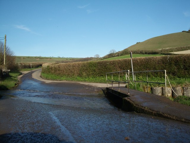
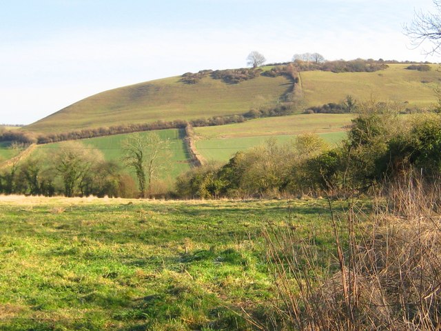
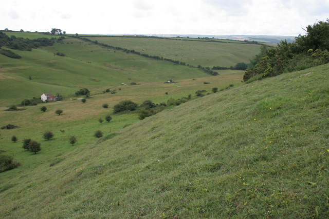
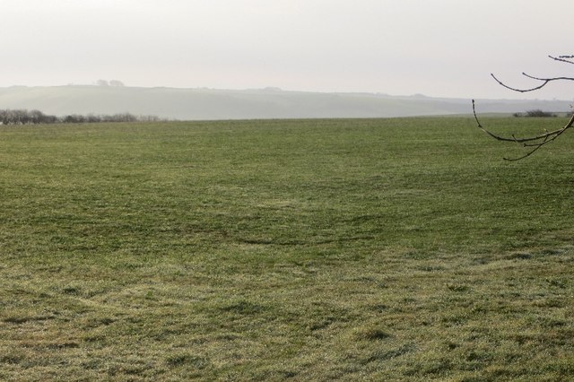
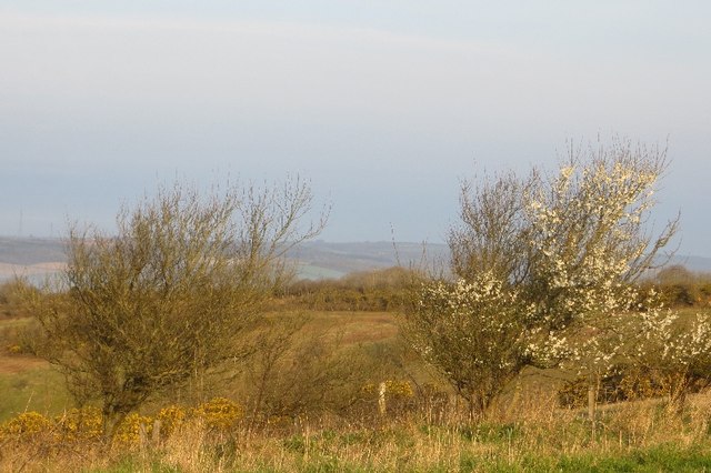
Chalkcombe Plantation is a picturesque woodland located in Dorset, England. Situated near the village of Chalkcombe, the plantation covers an area of approximately 500 acres, making it a significant natural resource in the region. The woodland is characterized by its diverse range of trees, including oak, beech, ash, and birch, which create a stunning canopy of greenery.

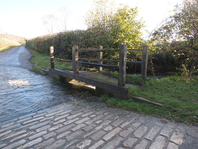
The plantation is known for its rich biodiversity, providing a habitat for various wildlife species. Visitors to Chalkcombe Plantation may be fortunate enough to spot deer, foxes, badgers, and a wide variety of bird species. The woodland is also home to several rare and protected plant species, making it an important conservation area.

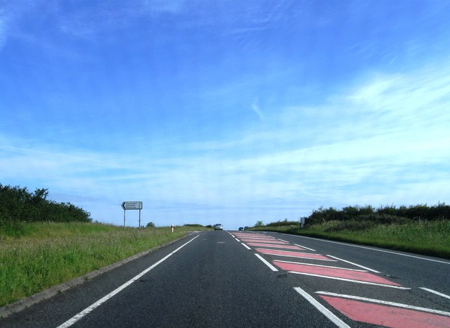
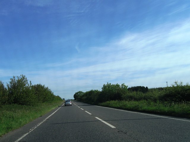
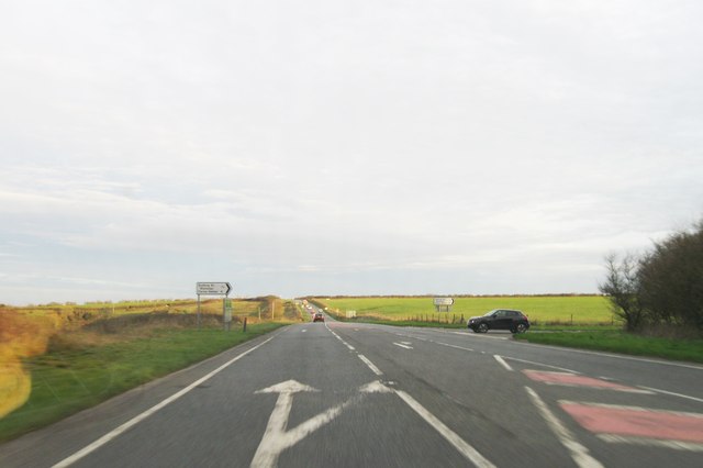
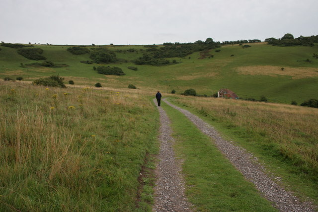
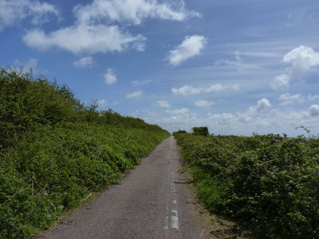
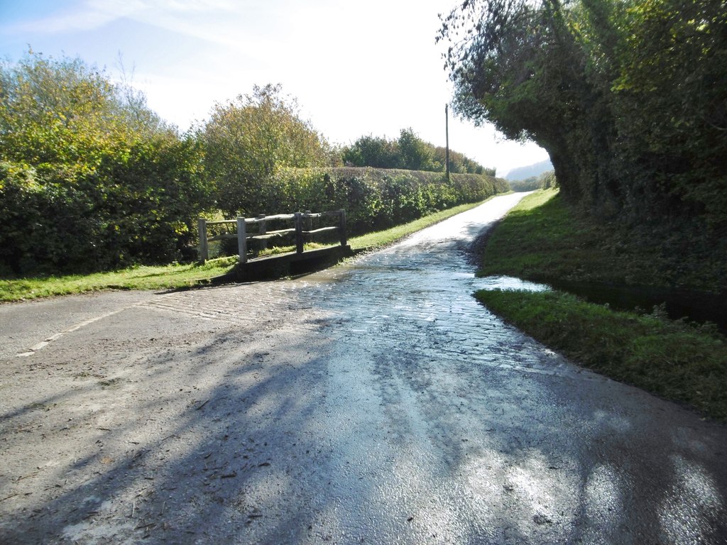
Chalkcombe Plantation offers visitors a tranquil and peaceful environment, perfect for walking, hiking, and nature observation. The well-maintained paths winding through the woods allow visitors to explore the plantation at their own pace. Along these paths, visitors can enjoy the beauty of the woodland, with sunlight filtering through the leaves and the soothing sounds of birdsong.

The plantation is also popular amongst nature enthusiasts and photographers, who are drawn to its natural beauty and the opportunities it presents for capturing stunning shots of the flora and fauna.

Access to Chalkcombe Plantation is free, and there are designated parking areas available for visitors. It is advisable to wear suitable footwear and bring insect repellent, especially during the summer months. Overall, Chalkcombe Plantation offers a wonderful escape into nature, where visitors can immerse themselves in the beauty and tranquility of Dorset's woodlands.

If you have any feedback on the listing, please let us know in the comments section below.

Chalkcombe Plantation Images

Images are sourced within 2km of 50.801265/-2.5309909 or Grid Reference ST6200. Thanks to Geograph Open Source API. All images are credited.

Sydling St Nicholas: the ford and pedestrian bridge
Cowdown Hill - Sydling St Nicholas Cowdown Hill is one of the steep chalk hills sheltering the north-easterly tip of the village of Sydling St Nicholas. It stands 711ft above sea level and in the summer months orchids can be found growing upon its steep sides.
Cowdown Hill - Sydling St Nicholas
Cowdown Hill is one of the steep chalk hills sheltering the north-easterly tip of the village of Sydling St Nicholas. It stands 711ft above sea level and in the summer months orchids can be found growing upon its steep sides.
A37 northbound
A37 northbound
A37 northbound
A37 northbound
A37 northbound
A37 northbound
A37 northbound
A37 northbound
Ford over Sydling Water
Ford, Up Sydling A footbridge over Sydling water at the ford.
Ford, Up Sydling
A footbridge over Sydling water at the ford.
Post box, Up Sydling The telegraph pole that this wonderful old post box is attached to seems to be on its last legs. Hopefully when it's replaced the post box will be reinstated rather than replaced with a modern plastic one?
Post box, Up Sydling
The telegraph pole that this wonderful old post box is attached to seems to be on its last legs. Hopefully when it's replaced the post box will be reinstated rather than replaced with a modern plastic one?
A37 northbound
A37 northbound
A37 northbound
A37 northbound
A37 northbound, Stagg's Folly
The track to Lankham Bottom Lankham Bottom is a nature reserve in an area of chalk downland managed by Butterfly Conservation. A wide variety of butterflies and moths occur there.
The track to Lankham Bottom
Lankham Bottom is a nature reserve in an area of chalk downland managed by Butterfly Conservation. A wide variety of butterflies and moths occur there.
Lankham Bottom Looking down the south-facing slope of the Butterfly Conservation reserve.
Lankham Bottom
Looking down the south-facing slope of the Butterfly Conservation reserve.
Old minor road to Cerne Abbas This erstwhile road is now a footpath at Stagg's Folly. I think it was once an extension of the minor road from Cattistock to Cerne Abbas which now finishes when that road meets the A37.
Old minor road to Cerne Abbas
This erstwhile road is now a footpath at Stagg's Folly. I think it was once an extension of the minor road from Cattistock to Cerne Abbas which now finishes when that road meets the A37.
Ayles's Hill Pasture on top of the downs. It looks peaceful, straight out of a Hardy novel, but there is a lot of traffic behind me on Long Ash Lane (A37).
Ayles's Hill
Pasture on top of the downs. It looks peaceful, straight out of a Hardy novel, but there is a lot of traffic behind me on Long Ash Lane (A37).
Long Ash Lane Approaching the blessed time when could get off this wretched road.  The A37 passes the head of Lankham Bottom.
Long Ash Lane
Approaching the blessed time when could get off this wretched road. The A37 passes the head of Lankham Bottom.
Head of Lankham Bottom Blackthorn at the side of the A37.
Head of Lankham Bottom
Blackthorn at the side of the A37.
Show me another place!

Chalkcombe Plantation is located at Grid Ref: ST6200 (Lat: 50.801265, Lng: -2.5309909)

Unitary Authority: Dorset

Police Authority: Dorset

What 3 Words

///lyrics.dandelions.lucky. Near Maiden Newton, Dorset

Related Wikis

Sydling Water

The Sydling Water is an 8 km (5 mi) long river in Dorset, England, which flows from north to south from Up Sydling until it joins the River Frome near...

Sydling St Nicholas

Sydling St Nicholas is a village and civil parish in Dorset within southwest England. The parish is 5 to 9 miles (8.0 to 14.5 km) northwest of the county...

Up Sydling

Up Sydling is a hamlet in west Dorset, England. It is situated at the head of Sydling Water, a tributary of the River Frome, ten miles north of Dorchester...

Shearplace Hill Enclosure

The Shearplace Hill Enclosure is an archaeological site of the Bronze Age, about 1.5 miles (2.4 km) south-west of Cerne Abbas in Dorset, England. It is...

Nearby Amenities

Located within 500m of 50.801265,-2.5309909
The data included in this document is from www.openstreetmap.org. The data is made available under ODbL.

Have you been to Chalkcombe Plantation?

Leave your review of Chalkcombe Plantation below (or comments, questions and feedback).