Sydling St. Nicholas
Civil Parish in Dorset West Dorset
England
Sydling St. Nicholas
Sydling St. Nicholas is a civil parish located in the county of Dorset, England. Situated in the South West of the country, it is part of the West Dorset district. The parish covers an area of approximately 8 square miles and is home to a population of around 350 people.
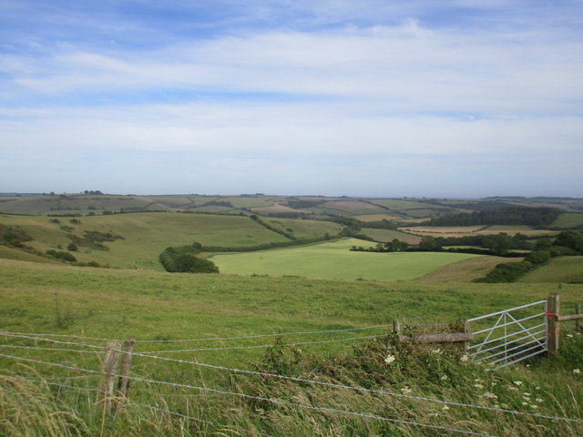
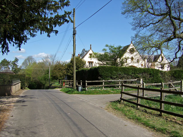
The village of Sydling St. Nicholas is the main settlement within the parish. It is a picturesque and traditional English village with a rich history dating back to the medieval period. The village is known for its charming thatched cottages, ancient church, and peaceful countryside surroundings. It is often considered one of the most beautiful villages in Dorset.
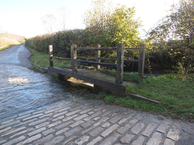
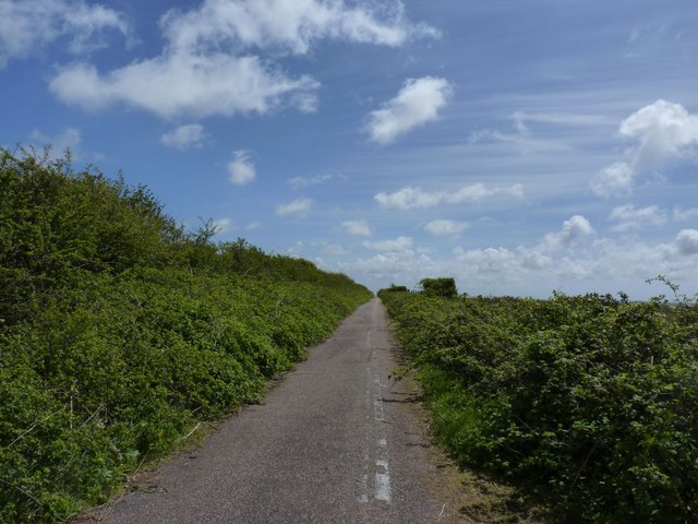
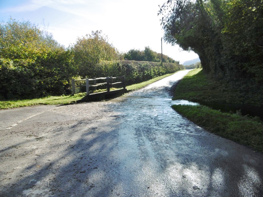
The village is well-preserved and has maintained its rural character over the years. It offers a range of amenities to its residents and visitors, including a primary school, a village hall, a pub, and a post office. The surrounding countryside is ideal for outdoor activities such as walking, cycling, and horse riding, with numerous footpaths and bridleways to explore.
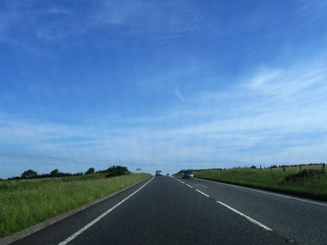
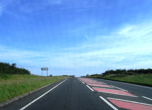
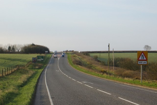
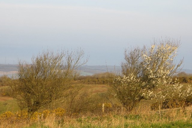
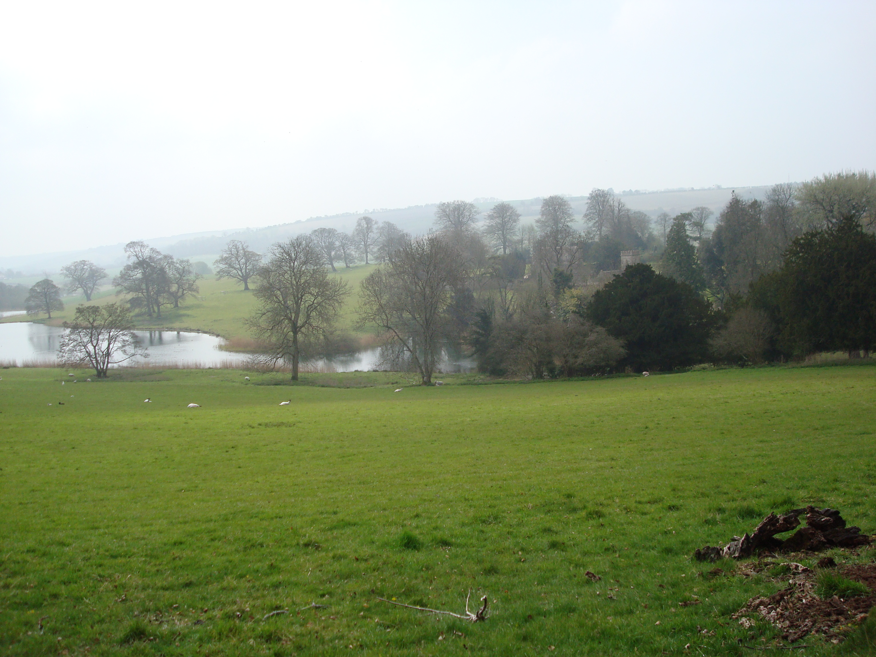
Sydling St. Nicholas is located in a tranquil and scenic part of Dorset, surrounded by rolling hills, meadows, and woodlands. It is known for its stunning natural beauty and is a popular destination for nature lovers and tourists seeking a peaceful retreat. The village has a strong sense of community and hosts various events throughout the year, including a summer fete and a fireworks display.
Overall, Sydling St. Nicholas is a charming and idyllic civil parish in Dorset, offering its residents a quality of life in a picturesque setting.
If you have any feedback on the listing, please let us know in the comments section below.
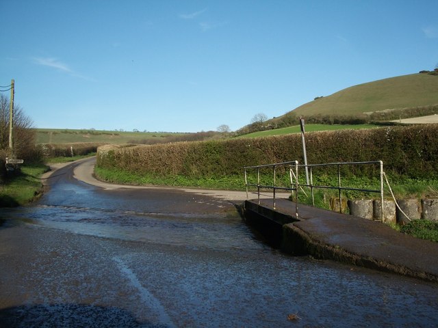
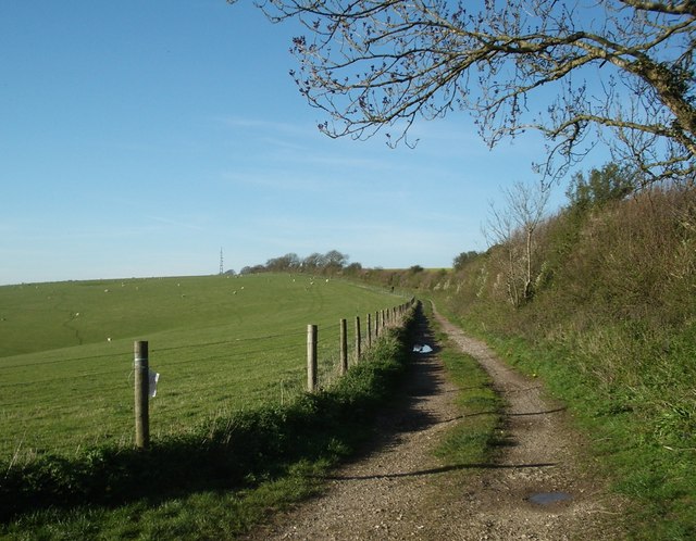
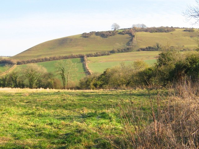
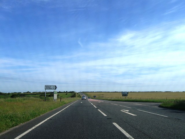
Sydling St. Nicholas Images
Images are sourced within 2km of 50.80096/-2.52679 or Grid Reference ST6200. Thanks to Geograph Open Source API. All images are credited.

Sydling St. Nicholas is located at Grid Ref: ST6200 (Lat: 50.80096, Lng: -2.52679)
Administrative County: Dorset
District: West Dorset
Police Authority: Dorset
What 3 Words
///additives.rainwater.incursion. Near Maiden Newton, Dorset
Nearby Locations
Related Wikis

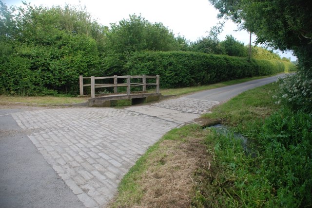
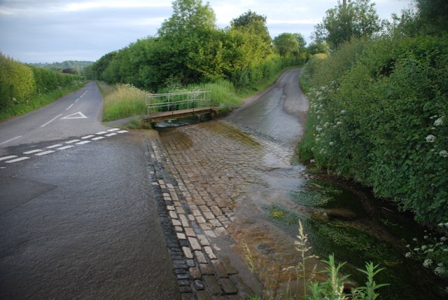
Sydling Water
The Sydling Water is an 8 km (5 mi) long river in Dorset, England, which flows from north to south from Up Sydling until it joins the River Frome near...

Sydling St Nicholas
Sydling St Nicholas is a village and civil parish in Dorset within southwest England. The parish is 5 to 9 miles (8.0 to 14.5 km) northwest of the county...
Up Sydling
Up Sydling is a hamlet in west Dorset, England. It is situated at the head of Sydling Water, a tributary of the River Frome, ten miles north of Dorchester...

Shearplace Hill Enclosure
The Shearplace Hill Enclosure is an archaeological site of the Bronze Age, about 1.5 miles (2.4 km) south-west of Cerne Abbas in Dorset, England. It is...

Hog Cliff
Hog Cliff is a national nature reserve (NNR) and Site of Special Scientific Interest (SSSI) located 2 kilometres (1.2 mi) south east of Maiden Newton,...

Cerne Abbas
Cerne Abbas () is a village and civil parish in the county of Dorset in southern England. It lies in the Dorset Council administrative area in the Cerne...
Chalmington
Chalmington is a small hamlet close to the village of Cattistock, in west Dorset, England. == References == == External links == Media related to Chalmington...
Up Cerne
Up Cerne is a hamlet lying to the west of the River Cerne between Minterne Magna and Cerne Abbas in Dorset, England. It was the birthplace of John Mount...
Nearby Amenities
Located within 500m of 50.80096,-2.52679Have you been to Sydling St. Nicholas?
Leave your review of Sydling St. Nicholas below (or comments, questions and feedback).