Valley of Stones
Valley in Dorset
England
Valley of Stones
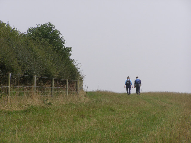
Valley of Stones, located in Dorset, England, is a unique and captivating natural phenomenon that attracts visitors from all over the world. This ancient valley, also known as Horestone Valley or The Devil's Stone, is situated near the village of Worth Matravers.
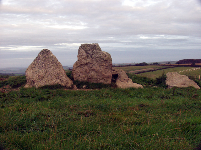
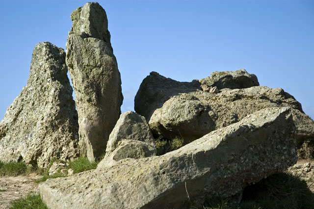
The Valley of Stones is characterized by its large and imposing sarsen stones, which are scattered across the landscape, creating an otherworldly atmosphere. These stones, measuring up to six meters in height, are believed to have been brought to the area by glaciers during the last Ice Age. Over time, erosion and weathering have shaped these rocks into fascinating and sometimes eerie formations.
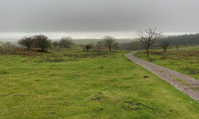
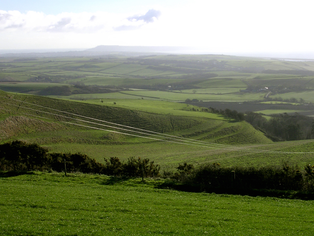
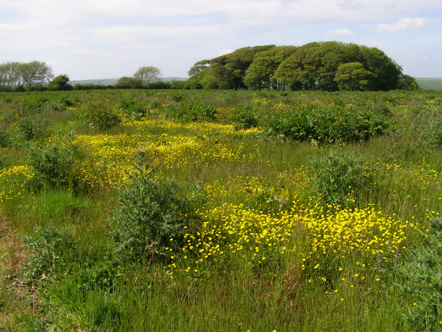
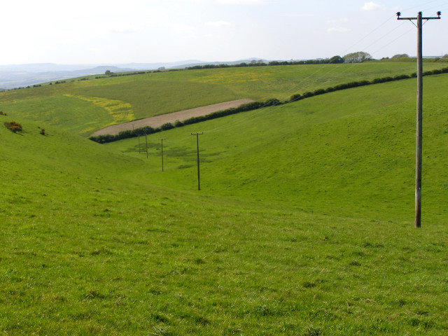
The valley offers a stunning and picturesque setting, surrounded by rolling hills and lush greenery. Walking through the valley feels like stepping into a prehistoric world, with the towering stones providing a sense of mystery and wonder. Visitors can explore the area on foot, following the well-marked footpaths and taking in the breathtaking views along the way.
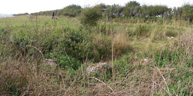
The Valley of Stones is also of archaeological significance, with evidence of human activity from the Neolithic period. Excavations have uncovered tools and artifacts, indicating that the valley was used as a gathering and hunting site thousands of years ago.
The area is a popular destination for nature lovers, photographers, and those seeking a peaceful and tranquil escape from the hustle and bustle of everyday life. With its rich history, striking landscape, and serene atmosphere, the Valley of Stones in Dorset is truly a remarkable place to visit.
If you have any feedback on the listing, please let us know in the comments section below.
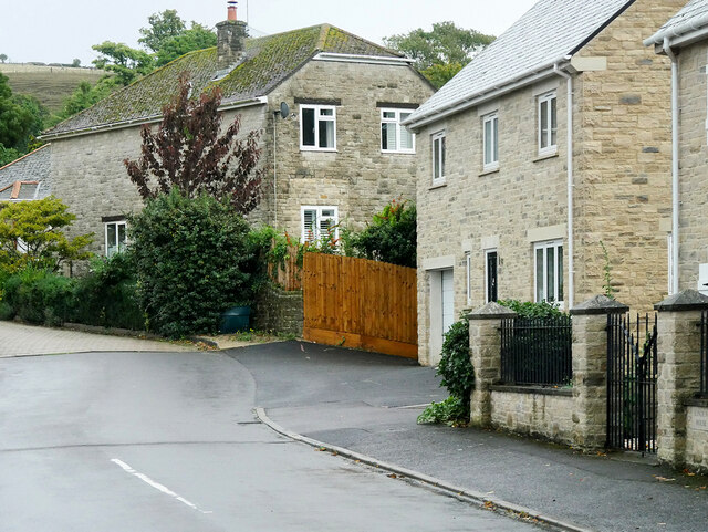
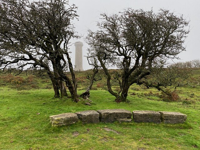
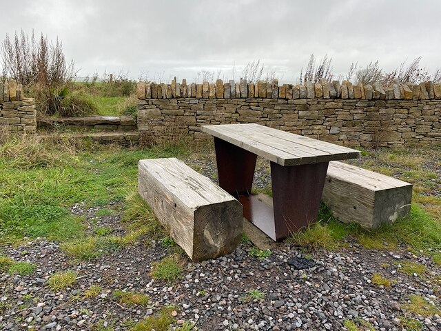
Valley of Stones Images
Images are sourced within 2km of 50.68682/-2.5697867 or Grid Reference SY5987. Thanks to Geograph Open Source API. All images are credited.

Valley of Stones is located at Grid Ref: SY5987 (Lat: 50.68682, Lng: -2.5697867)
Unitary Authority: Dorset
Police Authority: Dorset
What 3 Words
///ownership.eager.sums. Near Chickerell, Dorset
Nearby Locations
Related Wikis

Hampton Down Stone Circle
The Hampton Down Stone Circle is a stone circle located near to the village of Portesham in the south-western English county of Dorset. Archaeologists...
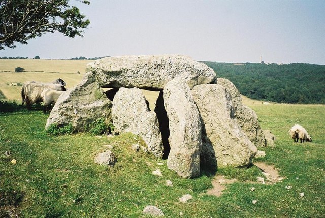
Hell Stone
The Hell Stone is a badly-restored Neolithic dolmen on Portesham Hill in Dorset, England. It is around half a mile (0.8 km) north of the village of Portesham...

Black Down, Dorset
Black Down is a hill on the South Dorset Ridgeway about 2 kilometres north-northeast of the village of Portesham in the county of Dorset, England and around...

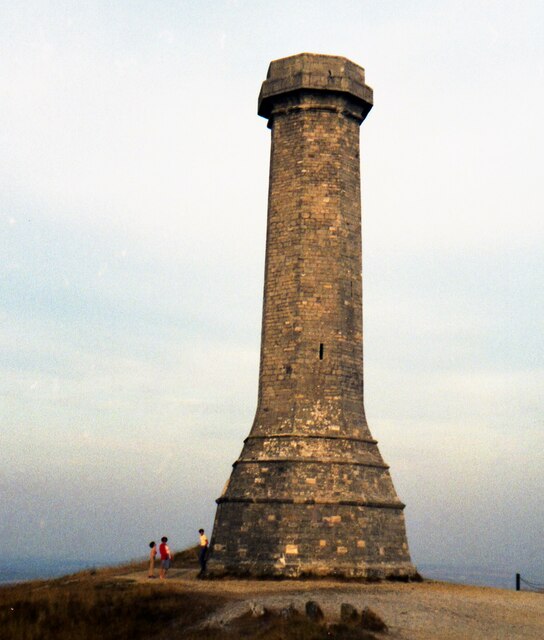
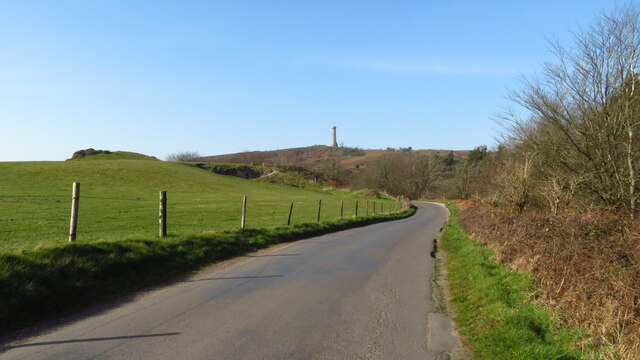
Hardy Monument
The Hardy Monument (sometimes referred to as Hardy's Monument) is a 72-foot-high (22 m) monument on the summit of Black Down in Dorset, erected in 1844...
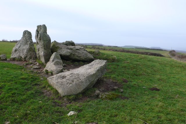
The Grey Mare and her Colts
The Grey Mare and her Colts is a megalithic chambered long barrow located near Abbotsbury in Dorset, England. It was built during the Early and Middle...
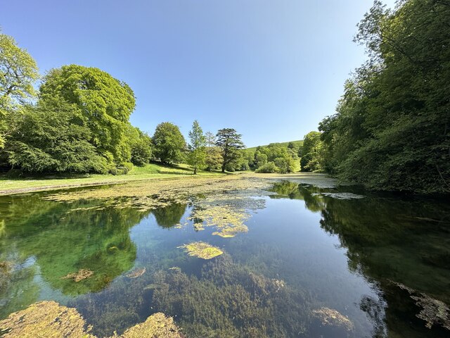
Littlebredy
Littlebredy (also written Little Bredy, pronounced ) is a small village and civil parish in the English county of Dorset, situated approximately 6.5 miles...

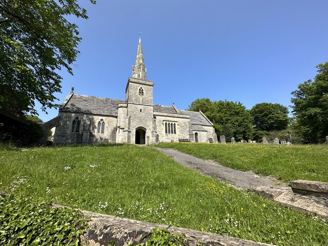
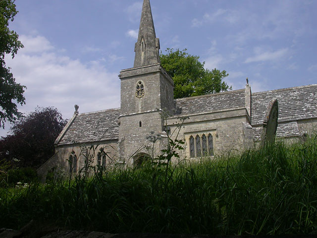
St Michael and All Angels Church, Littlebredy
St Michael and All Angels Church is a Grade II listed Anglican church in the village of Littlebredy, Dorset, England. == History == The tower dates from...

St Peter's Church, Portesham
St Peter's Church is an Anglican church, the parish church in the village of Portesham, Dorset. It is a Grade I listed building. The earliest parts date...
Nearby Amenities
Located within 500m of 50.68682,-2.5697867Have you been to Valley of Stones?
Leave your review of Valley of Stones below (or comments, questions and feedback).