Hope Coppice
Wood, Forest in Dorset
England
Hope Coppice
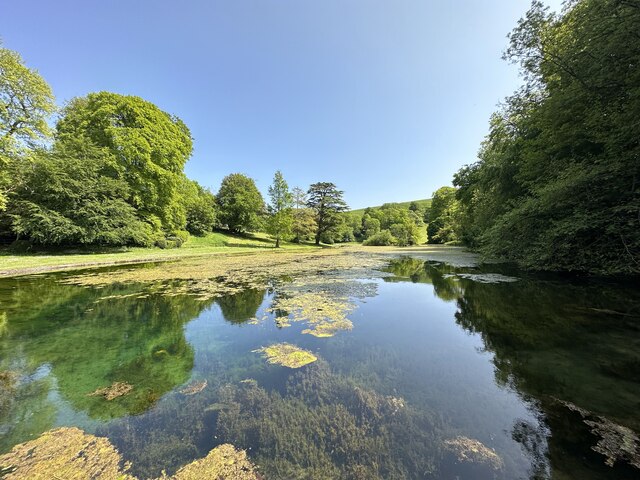
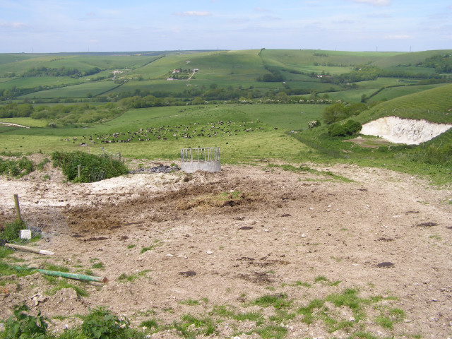
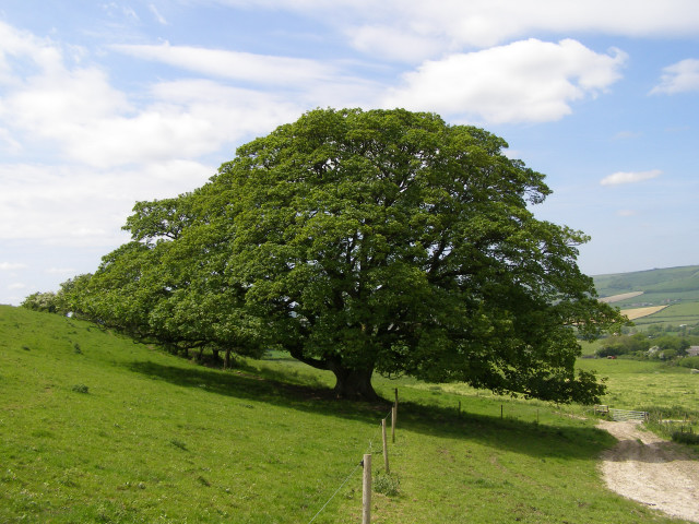
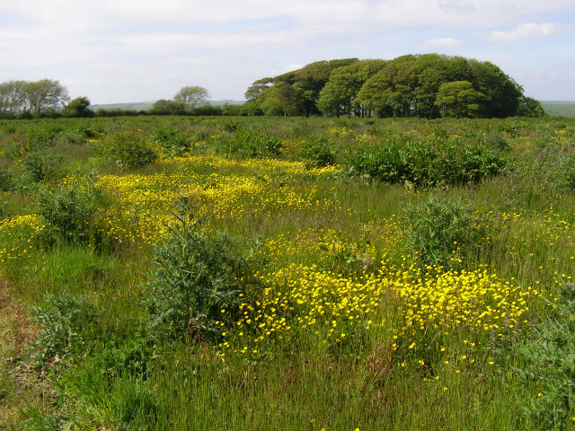
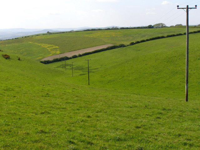
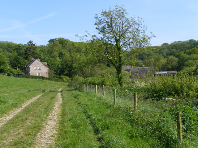
Hope Coppice is a picturesque woodland located in the county of Dorset, England. It covers an area of approximately 50 acres and is known for its diverse range of flora and fauna. The coppice is situated on the outskirts of a small rural village, providing a tranquil escape for nature enthusiasts and locals alike.
The woodland is primarily composed of deciduous trees, including oak, beech, and ash, which create a dense canopy overhead. These trees offer a haven for a variety of bird species, such as woodpeckers, owls, and thrushes, making it a popular spot for birdwatching enthusiasts. In addition, the undergrowth is abundant with wildflowers, ferns, and mosses, adding to the overall beauty and biodiversity of the area.
A network of well-maintained footpaths and nature trails wind their way through the coppice, allowing visitors to explore and immerse themselves in the natural surroundings. These trails are often used by walkers, joggers, and dog walkers, providing a peaceful escape from the hustle and bustle of everyday life.
Hope Coppice is also home to a variety of wildlife, including deer, badgers, and foxes, making it a haven for nature lovers. The woodland is carefully managed by local conservation groups to ensure the preservation of its natural habitat and wildlife.
Overall, Hope Coppice offers a serene and enchanting experience for those seeking a connection with nature. Its idyllic setting, diverse flora and fauna, and well-maintained trails make it a must-visit destination for anyone exploring the Dorset countryside.
If you have any feedback on the listing, please let us know in the comments section below.
Hope Coppice Images
Images are sourced within 2km of 50.686732/-2.5804025 or Grid Reference SY5987. Thanks to Geograph Open Source API. All images are credited.


Hope Coppice is located at Grid Ref: SY5987 (Lat: 50.686732, Lng: -2.5804025)
Unitary Authority: Dorset
Police Authority: Dorset
What 3 Words
///lodge.tickles.escalates. Near Chickerell, Dorset
Nearby Locations
Related Wikis
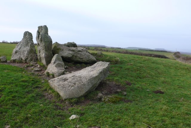
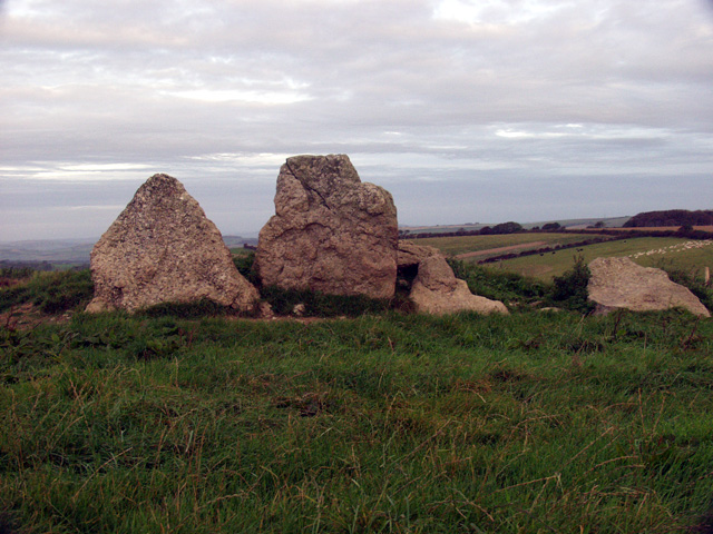
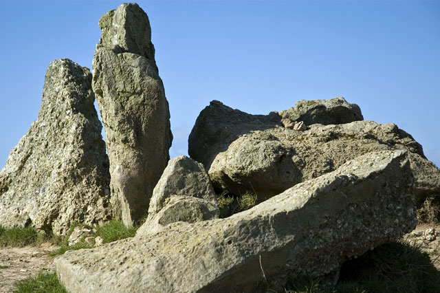
The Grey Mare and her Colts
The Grey Mare and her Colts is a megalithic chambered long barrow located near Abbotsbury in Dorset, England. It was built during the Early and Middle...
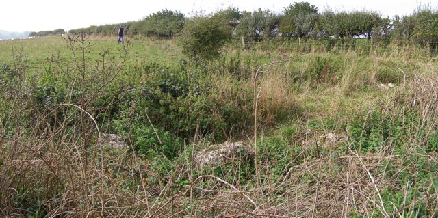
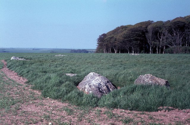
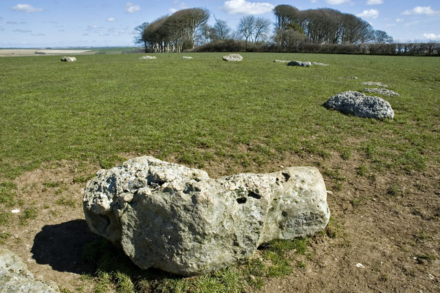
Hampton Down Stone Circle
The Hampton Down Stone Circle is a stone circle located near to the village of Portesham in the south-western English county of Dorset. Archaeologists...

Kingston Russell Stone Circle
Kingston Russell Stone Circle, also known as the Gorwell Circle, is a stone circle located between the villages of Abbotsbury and Littlebredy in the south...
Littlebredy
Littlebredy (also written Little Bredy, pronounced ) is a small village and civil parish in the English county of Dorset, situated approximately 6.5 miles...

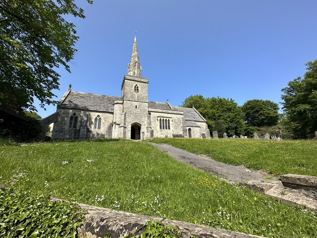
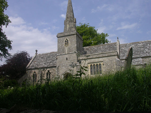
St Michael and All Angels Church, Littlebredy
St Michael and All Angels Church is a Grade II listed Anglican church in the village of Littlebredy, Dorset, England. == History == The tower dates from...
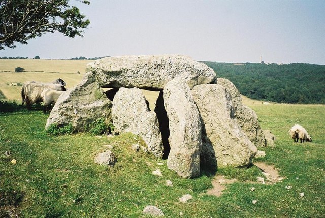
Hell Stone
The Hell Stone is a badly-restored Neolithic dolmen on Portesham Hill in Dorset, England. It is around half a mile (0.8 km) north of the village of Portesham...

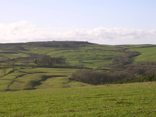
Black Down, Dorset
Black Down is a hill on the South Dorset Ridgeway about 2 kilometres north-northeast of the village of Portesham in the county of Dorset, England and around...

St Peter's Church, Portesham
St Peter's Church is an Anglican church, the parish church in the village of Portesham, Dorset. It is a Grade I listed building. The earliest parts date...
Nearby Amenities
Located within 500m of 50.686732,-2.5804025Have you been to Hope Coppice?
Leave your review of Hope Coppice below (or comments, questions and feedback).