Crow Hill
Hill, Mountain in Dorset
England
Crow Hill
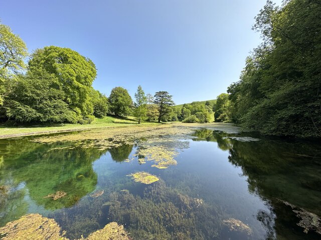
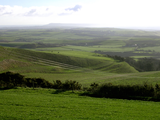
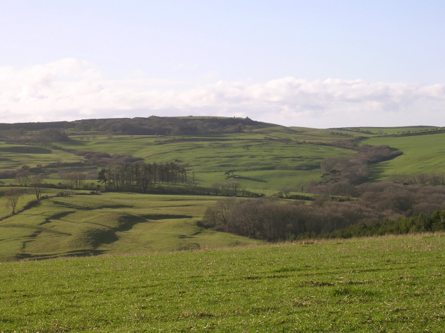
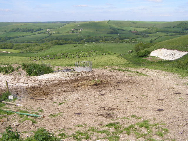
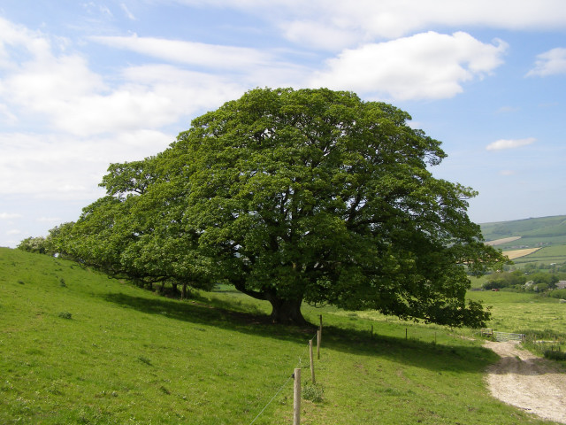
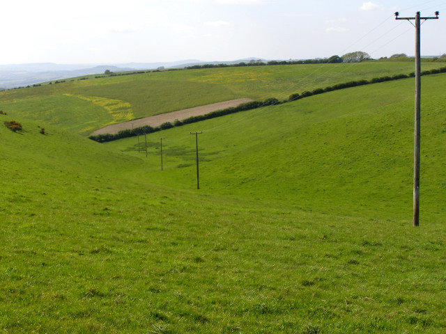
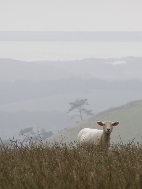
Crow Hill is a prominent hill located in the county of Dorset, England. Situated in the rural countryside, it forms part of the larger Dorset Downs, a range of chalk hills and ridges that stretches across the region. Crow Hill stands at an elevation of approximately 190 meters (623 feet), offering stunning panoramic views of the surrounding landscape.
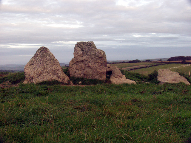
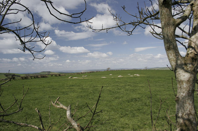
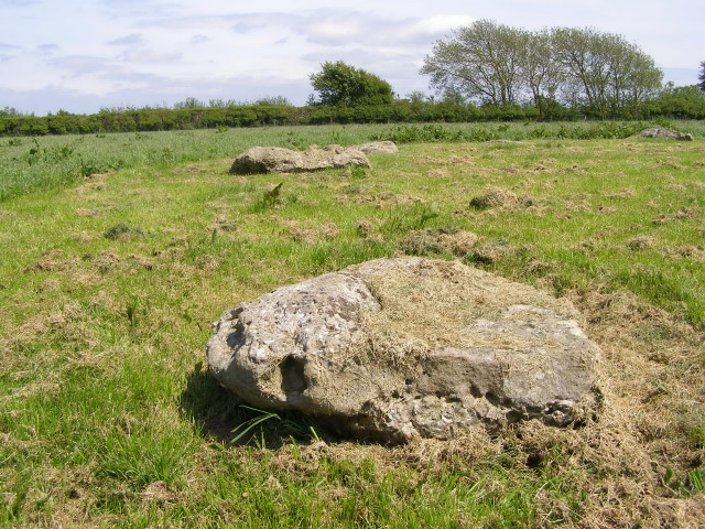
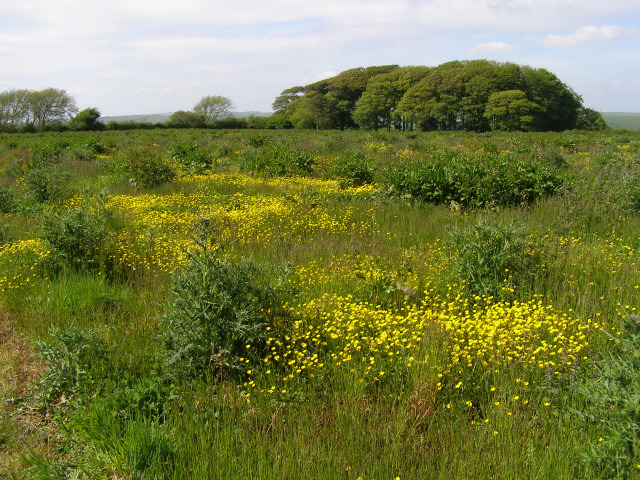
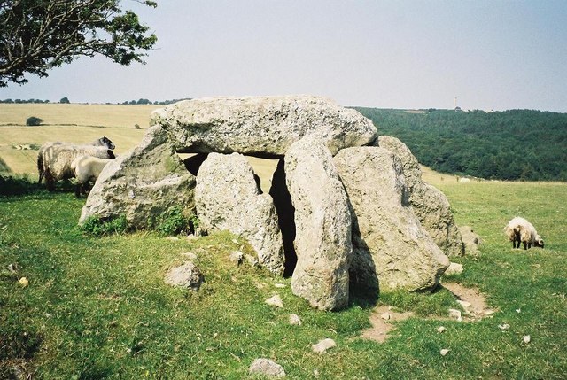
The hill is covered in lush green vegetation, with patches of woodland and heathland dotting its slopes. These habitats provide a home to a diverse range of flora and fauna, including various species of birds, butterflies, and wildflowers. The area is also known for its rich archaeological history, with several ancient burial mounds and earthworks found on the hill.
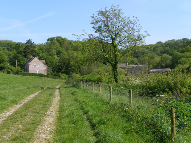
Crow Hill is a popular destination for outdoor enthusiasts and nature lovers. It offers numerous walking trails and footpaths, allowing visitors to explore the hill and its surroundings. The gentle gradients make it accessible for people of all ages and fitness levels, making it a great location for a leisurely stroll or a picnic.
The hill is also a favorite spot for paragliders and hang gliders who take advantage of the favorable wind conditions and the stunning views. On clear days, it is possible to see as far as the English Channel and the Isle of Wight from the summit.
Overall, Crow Hill in Dorset is a picturesque and tranquil location that attracts visitors with its natural beauty, wildlife, and recreational opportunities. Whether for a peaceful walk or an adrenaline-filled flight, it offers something for everyone to enjoy.
If you have any feedback on the listing, please let us know in the comments section below.
Crow Hill Images
Images are sourced within 2km of 50.686154/-2.5807776 or Grid Reference SY5987. Thanks to Geograph Open Source API. All images are credited.

Crow Hill is located at Grid Ref: SY5987 (Lat: 50.686154, Lng: -2.5807776)
Unitary Authority: Dorset
Police Authority: Dorset
What 3 Words
///enforced.broadens.dress. Near Chickerell, Dorset
Nearby Locations
Related Wikis
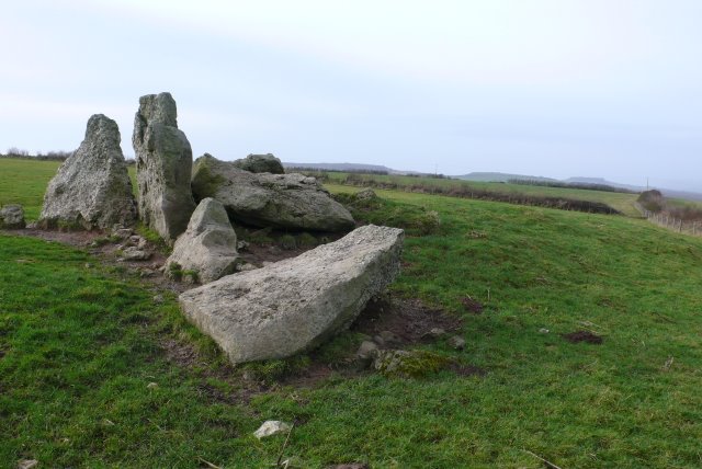
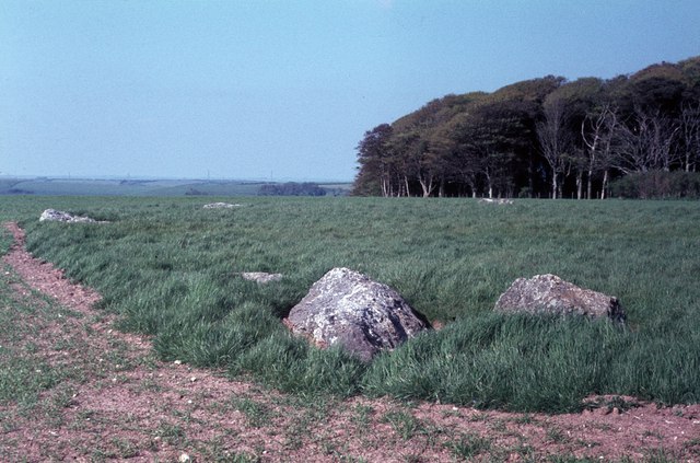
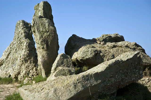
The Grey Mare and her Colts
The Grey Mare and her Colts is a megalithic chambered long barrow located near Abbotsbury in Dorset, England. It was built during the Early and Middle...
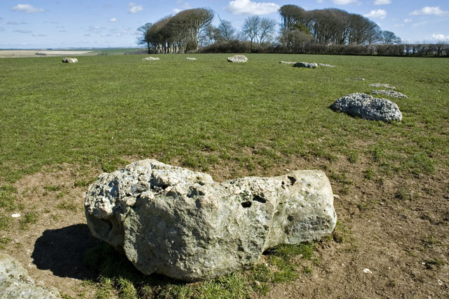
Hampton Down Stone Circle
The Hampton Down Stone Circle is a stone circle located near to the village of Portesham in the south-western English county of Dorset. Archaeologists...

Kingston Russell Stone Circle
Kingston Russell Stone Circle, also known as the Gorwell Circle, is a stone circle located between the villages of Abbotsbury and Littlebredy in the south...
Littlebredy
Littlebredy (also written Little Bredy, pronounced ) is a small village and civil parish in the English county of Dorset, situated approximately 6.5 miles...

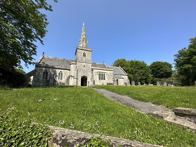
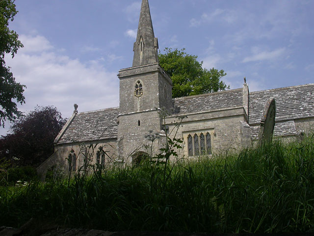
St Michael and All Angels Church, Littlebredy
St Michael and All Angels Church is a Grade II listed Anglican church in the village of Littlebredy, Dorset, England. == History == The tower dates from...
Hell Stone
The Hell Stone is a badly-restored Neolithic dolmen on Portesham Hill in Dorset, England. It is around half a mile (0.8 km) north of the village of Portesham...

St Peter's Church, Portesham
St Peter's Church is an Anglican church, the parish church in the village of Portesham, Dorset. It is a Grade I listed building. The earliest parts date...

Black Down, Dorset
Black Down is a hill on the South Dorset Ridgeway about 2 kilometres north-northeast of the village of Portesham in the county of Dorset, England and around...
Related Videos

Abbotsbury Swannery - Vlog #3 - Dorset Holiday June 2022
Abbotsburyswannery #dorset #holidayvlogs #vlogs #caravanningukcommunity # We visit the fantastic Abbotsbury Swannery for a ...


Nearby Amenities
Located within 500m of 50.686154,-2.5807776Have you been to Crow Hill?
Leave your review of Crow Hill below (or comments, questions and feedback).