Knowle Hill

Hill, Mountain in Somerset Mendip

England

Knowle Hill

Old Milestone, B3136, Lamberts Hill The milestone is located near the old railway bridge at West Shepton, on the grass verge against wall on the West side of road. Parish of Pilton (Mendip District). Cast iron post, plated iron casting design, erected by the Shepton Mallet turnpike trust in the 19th century. 

Inscription reads:- SHEPTON / MALLET / 1 :: GLASTON / BURY / 8 :: TAUNTON / 29 

Grade II Listed by Historic England, List Entry Number: 1058809
<span class="nowrap"><a title="https://historicengland.org.uk/listing/the-list/list-entry/1058809" rel="nofollow ugc noopener" href="https://historicengland.org.uk/listing/the-list/list-entry/1058809">Link</a><img style="margin-left:2px;" alt="External link" title="External link - shift click to open in new window" src="https://s1.geograph.org.uk/img/external.png" width="10" height="10"/></span> 

Milestone Society National ID: SO_SMTA01
Old Milestone, B3136, Lamberts Hill Credit: Janet Dowding

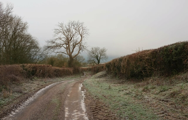
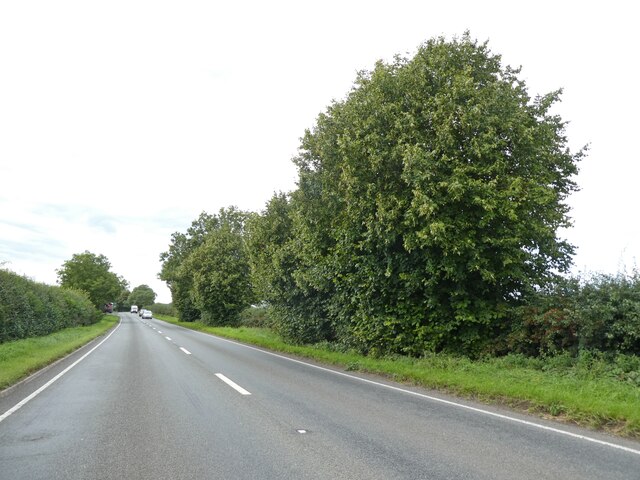
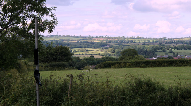
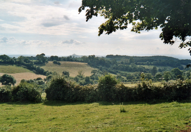
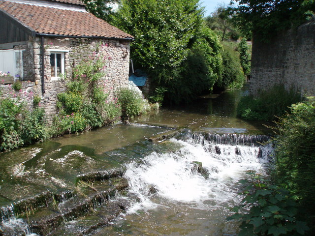
Knowle Hill is a prominent hill located in the county of Somerset, England. Situated near the village of Wrington, it forms part of the picturesque Mendip Hills, which are renowned for their outstanding natural beauty. With an elevation of approximately 220 meters (720 feet), Knowle Hill offers breathtaking panoramic views of the surrounding countryside and is a popular destination for hikers and nature enthusiasts alike.

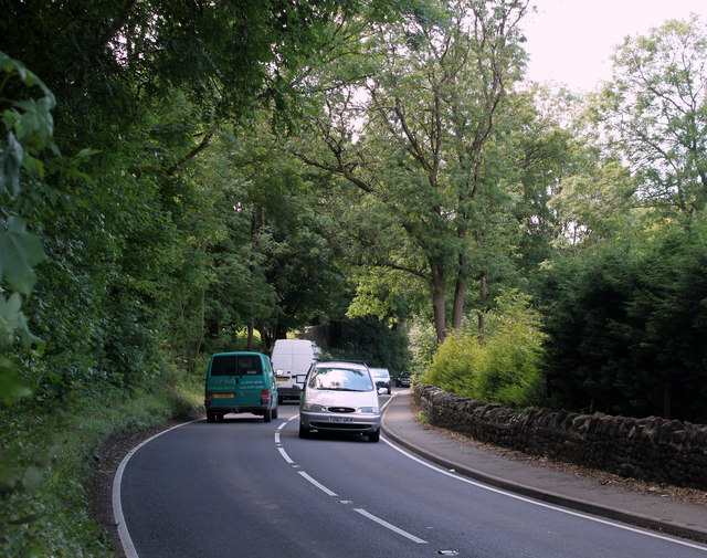
The hill is covered in lush green grass and is dotted with a variety of trees, including oak and beech, providing a haven for wildlife. The landscape is also adorned with vibrant wildflowers during the warmer months, adding to its charm. The hill's gentle slopes make it accessible to walkers of all abilities, and there are well-maintained footpaths and trails that lead to the summit.

At the top of Knowle Hill, visitors are rewarded with stunning vistas that stretch across the Somerset Levels towards the Bristol Channel and the distant Welsh mountains. On a clear day, it is possible to see as far as the Brecon Beacons National Park in Wales.

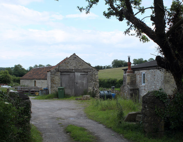
In addition to its natural beauty, Knowle Hill is also home to a number of historical sites. The remains of Iron Age hillforts can be found on its slopes, offering a glimpse into the area's ancient past. The hill is also surrounded by charming villages and towns, such as Wrington and Churchill, where visitors can explore local shops, cafes, and historical landmarks.

Overall, Knowle Hill is a captivating natural landmark that showcases the stunning landscapes of Somerset and provides a tranquil escape for those seeking outdoor adventures or a peaceful retreat.

If you have any feedback on the listing, please let us know in the comments section below.
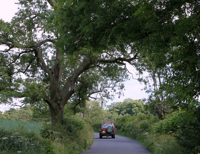
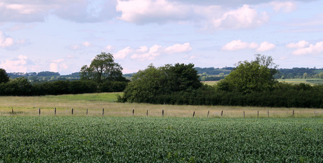
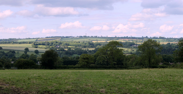
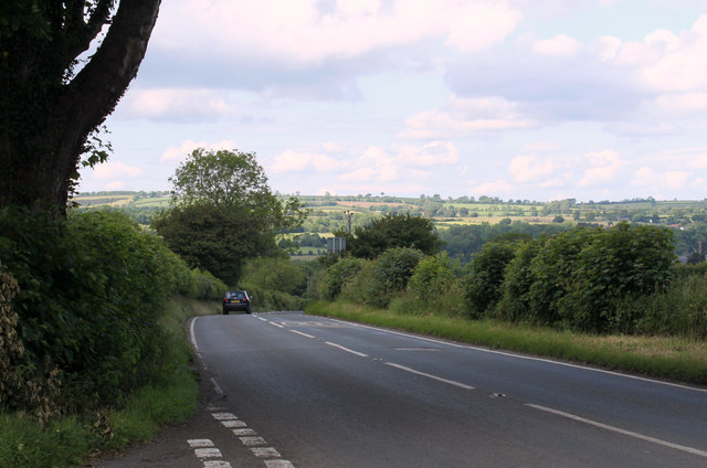
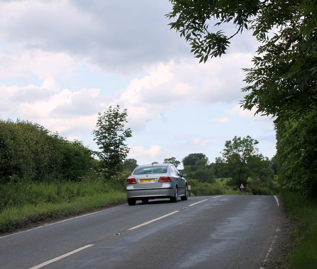
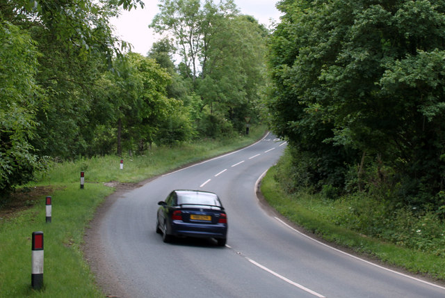
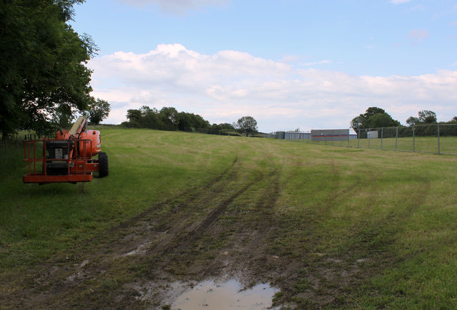
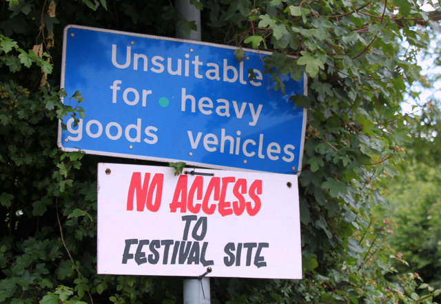
Knowle Hill Images

Images are sourced within 2km of 51.182442/-2.5871666 or Grid Reference ST5942. Thanks to Geograph Open Source API. All images are credited.

Old Milestone, B3136, Lamberts Hill The milestone is located near the old railway bridge at West Shepton, on the grass verge against wall on the West side of road. Parish of Pilton (Mendip District). Cast iron post, plated iron casting design, erected by the Shepton Mallet turnpike trust in the 19th century. 

Inscription reads:- SHEPTON / MALLET / 1 :: GLASTON / BURY / 8 :: TAUNTON / 29 

Grade II Listed by Historic England, List Entry Number: 1058809
<span class="nowrap"><a title="https://historicengland.org.uk/listing/the-list/list-entry/1058809" rel="nofollow ugc noopener" href="https://historicengland.org.uk/listing/the-list/list-entry/1058809">Link</a><img style="margin-left:2px;" alt="External link" title="External link - shift click to open in new window" src="https://s1.geograph.org.uk/img/external.png" width="10" height="10"/></span> 

Milestone Society National ID: SO_SMTA01
Old Milestone, B3136, Lamberts Hill
The milestone is located near the old railway bridge at West Shepton, on the grass verge against wall on the West side of road. Parish of Pilton (Mendip District). Cast iron post, plated iron casting design, erected by the Shepton Mallet turnpike trust in the 19th century. Inscription reads:- SHEPTON / MALLET / 1 :: GLASTON / BURY / 8 :: TAUNTON / 29 Grade II Listed by Historic England, List Entry Number: 1058809 LinkExternal link Milestone Society National ID: SO_SMTA01
Ham Lane Starting a descent into the Sheppey valley as the snow holds off for a short while. On the left is Darshill Wood.
Ham Lane
Starting a descent into the Sheppey valley as the snow holds off for a short while. On the left is Darshill Wood.
Old Milestone by B3136, Lambert Hill, near Elm Farm, junction with A361 The Milestone is located in hedge in front of open wire fence on the North of the road.  Parish of Pilton (Mendip District). Cast iron post, plated iron casting design, erected by the Shepton Mallet turnpike trust in the 19th Century, was rusty in 2002. An earlier photograph can be found here: <a title="https://www.geograph.org.uk/photo/6096208" href="https://www.geograph.org.uk/photo/6096208">Link</a> 

Inscription reads:- 
SHEPTON / MALLET / 2 : : GLASTON / BURY / 7 : : TAUNTON / 28  

Grade II listed. List Entry Number: 1058808 <span class="nowrap"><a title="https://historicengland.org.uk/listing/the-list/list-entry/1058808" rel="nofollow ugc noopener" href="https://historicengland.org.uk/listing/the-list/list-entry/1058808">Link</a><img style="margin-left:2px;" alt="External link" title="External link - shift click to open in new window" src="https://s1.geograph.org.uk/img/external.png" width="10" height="10"/></span> 

Milestone Society National ID: SO_SMGB02
Old Milestone by B3136, Lambert Hill, near Elm Farm, junction with A361
The Milestone is located in hedge in front of open wire fence on the North of the road.  Parish of Pilton (Mendip District). Cast iron post, plated iron casting design, erected by the Shepton Mallet turnpike trust in the 19th Century, was rusty in 2002. An earlier photograph can be found here: Link  Inscription reads:- SHEPTON / MALLET / 2 : : GLASTON / BURY / 7 : : TAUNTON / 28 Grade II listed. List Entry Number: 1058808 LinkExternal link Milestone Society National ID: SO_SMGB02
Approaching Pilton on the A361 from the east
East Compton Road
East Compton Road
2011 : East of north from Ridge Lane Near the junction with the B3136 looking toward Shepton Mallet which is mostly hidden in the valley. For a fairly large town Shepton makes a good job of tucking itself away. 
The black bin bags on the post are something to do with the Glastonbury Festival.
2011 : East of north from Ridge Lane
Near the junction with the B3136 looking toward Shepton Mallet which is mostly hidden in the valley. For a fairly large town Shepton makes a good job of tucking itself away. The black bin bags on the post are something to do with the Glastonbury Festival.
2011 : Elm Farm on the B3136 The B3136 leaves Shepton Mallet, climbs Lambert's Hill, goes down the other side and passes Elm Farm, or all that is left of it.
2011 : Elm Farm on the B3136
The B3136 leaves Shepton Mallet, climbs Lambert's Hill, goes down the other side and passes Elm Farm, or all that is left of it.
2011 : A371 passing Darshill heading west About four miles from Wells.
2011 : A371 passing Darshill heading west
About four miles from Wells.
2011 : Ridge Lane aka Ridge Road near Shepton Mallet OS Explorer Map 141 calls it Ridge Lane, Where's the path? calls it Ridge Road. You pays yer money and you takes yer choice.
2011 : Ridge Lane aka Ridge Road near Shepton Mallet
OS Explorer Map 141 calls it Ridge Lane, Where's the path? calls it Ridge Road. You pays yer money and you takes yer choice.
2011 : North from Ridge Road A field of something that looks like maize but I'm not sure, then a fence and a field which contains the remains of the GWR line which ran through Shepton Mallet and Wells.
Then there is the valley which holds the River Sheppey and conceals Shepton Mallet.
2011 : North from Ridge Road
A field of something that looks like maize but I'm not sure, then a fence and a field which contains the remains of the GWR line which ran through Shepton Mallet and Wells. Then there is the valley which holds the River Sheppey and conceals Shepton Mallet.
2011 : North on Ridge Lane top of  Lambert's Hill The western end of Shepton Mallet is to the right of the frame, lurking in the valley of the River Sheppey. A few houses seen on the hillside beyond are near Bowlish.
2011 : North on Ridge Lane top of Lambert's Hill
The western end of Shepton Mallet is to the right of the frame, lurking in the valley of the River Sheppey. A few houses seen on the hillside beyond are near Bowlish.
2011 : B3136 approaching Shepton Mallet At the Ridge Lane crossroads.
Shepton Mallet is at the bottom of the hill.
2011 : B3136 approaching Shepton Mallet
At the Ridge Lane crossroads. Shepton Mallet is at the bottom of the hill.
2011 : B3136 passing Elm Farm Nearly two miles from Shepton Mallet.
2011 : B3136 passing Elm Farm
Nearly two miles from Shepton Mallet.
2011 : B3136 heading south at Elm Farm A few hundred yards from the A361 where it appears to end.
2011 : B3136 heading south at Elm Farm
A few hundred yards from the A361 where it appears to end.
2011 : Glastonbury Festival Preparations plus four Same field as <a href="https://www.geograph.org.uk/photo/468041">ST6041 : Glastonbury Festival preparations</a> four years later minus four days.
Think the red thing is a hedge trimmer, unless it is a grass cutter.
The mud is coming along nicely.

Wonder why they call it the "Glastonbury" festival when Glastonbury is six miles away and Shepton Mallet is only two. Don't suppose the people in Shepton Mallet will object.
2011 : Glastonbury Festival Preparations plus four
Same field as ST6041 : Glastonbury Festival preparations four years later minus four days. Think the red thing is a hedge trimmer, unless it is a grass cutter. The mud is coming along nicely. Wonder why they call it the "Glastonbury" festival when Glastonbury is six miles away and Shepton Mallet is only two. Don't suppose the people in Shepton Mallet will object.
2011 : No heavy metal The sign is at the end of Neat Lane which heads round to Pilton by the back door.
2011 : No heavy metal
The sign is at the end of Neat Lane which heads round to Pilton by the back door.
2011 : A361 about to enter Pilton Seen from the end of Neat Lane. The B3136 leaves for Shepton Mallet on the right.
After Pilton, West Pennard and Glastonbury.
2011 : A361 about to enter Pilton
Seen from the end of Neat Lane. The B3136 leaves for Shepton Mallet on the right. After Pilton, West Pennard and Glastonbury.
West Compton Lane: a view across the valley Glastonbury Tor, six miles or so away, is on the horizon to the left of centre.
West Compton Lane: a view across the valley
Glastonbury Tor, six miles or so away, is on the horizon to the left of centre.
Show me another place!

Knowle Hill is located at Grid Ref: ST5942 (Lat: 51.182442, Lng: -2.5871666)

Administrative County: Somerset

District: Mendip

Police Authority: Avon and Somerset

What 3 Words

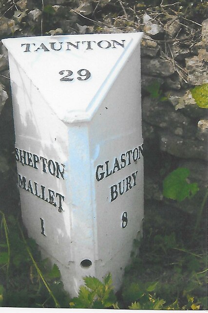
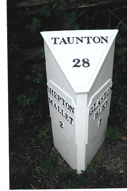
///brick.bathtubs.taskbar. Near Shepton Mallet, Somerset

Related Wikis

Friar's Oven

Friar's Oven (grid reference ST592431) is a 4.0 hectare biological Site of Special Scientific Interest in Somerset, notified in 1989. == Sources == English...

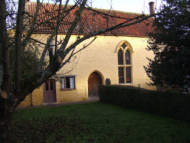
The Old Rectory, Croscombe

The Old Rectory in the village of Croscombe within the English county of Somerset was built in the 17th century and rebuilt in the 18th. It is a Grade...

The Old Manor, Croscombe

The Old Manor in Croscombe, Somerset, England, was built around 1460–89 as a rectorial manor house for Hugh Sugar, the Treasurer of Wells Cathedral. It...
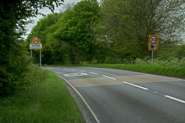
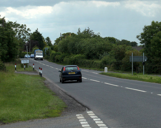
Pilton, Somerset

Pilton is a village and civil parish in Somerset, England, situated on the A361 road in the Mendip district, 3 miles (5 km) south-west of Shepton Mallet...
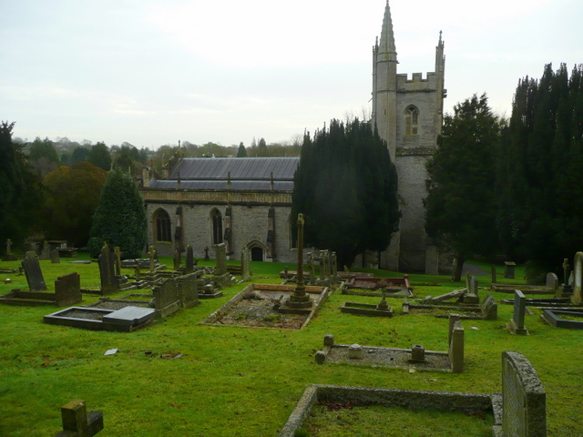
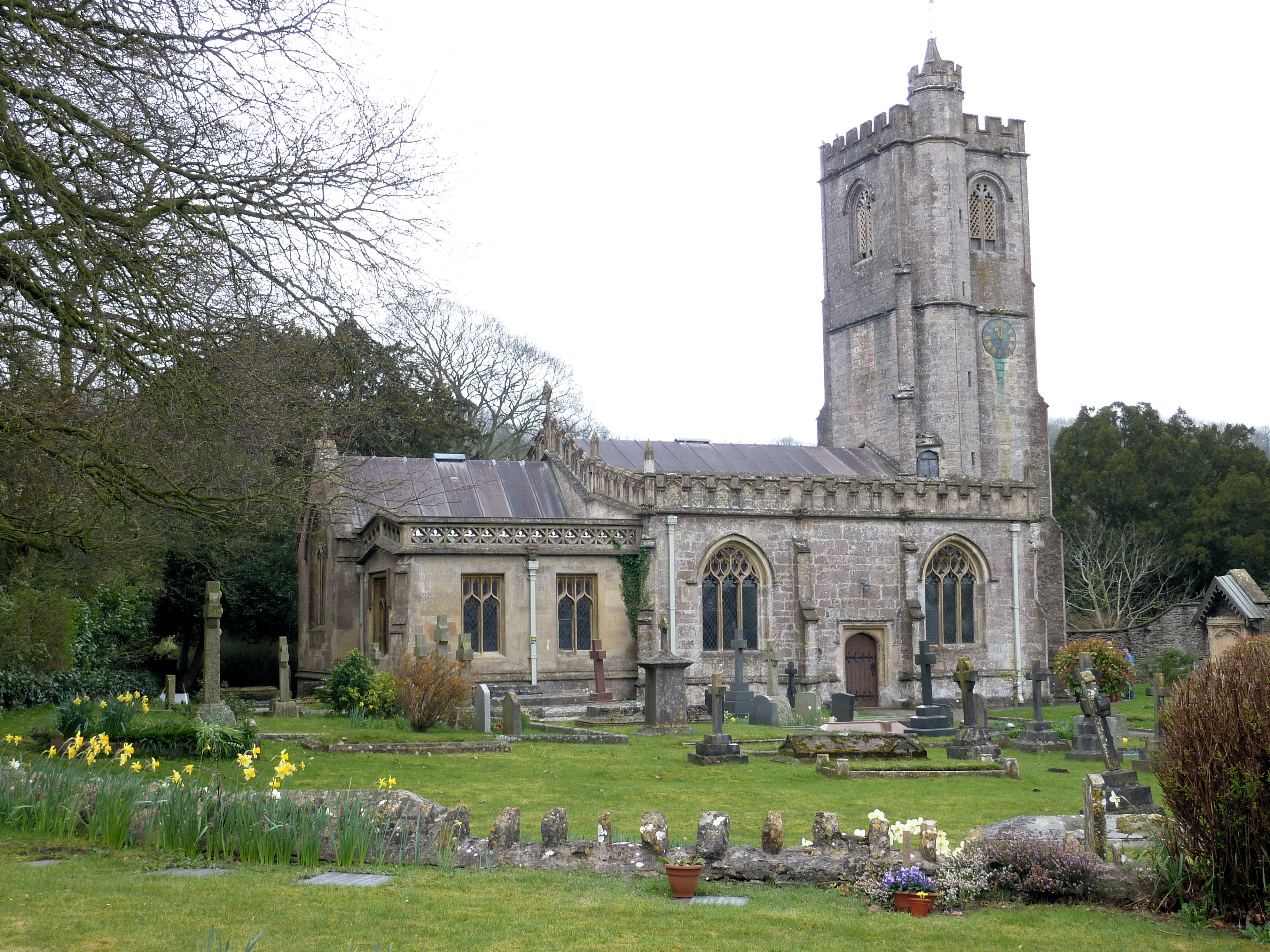
Croscombe

Croscombe is a village and civil parish 2 miles (3 km) west of Shepton Mallet and 4 miles (6 km) from Wells, in the Mendip district of Somerset, England...

Shepton Mallet F.C.

Shepton Mallet Association Football Club are a football club based in Shepton Mallet, Somerset, England. They are currently members of Western League Premier...
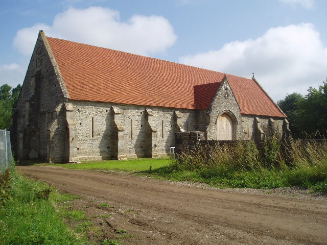
Tithe Barn, Pilton

The Tithe Barn at Cumhill Farm in Pilton, Somerset, England, was built in the 14th century as a tithe barn to hold produce for Glastonbury Abbey. It is...

Dinder

Dinder (which means "the house in the valley") is a small village and former civil parish, now in the parish of St Cuthbert Out, in the Somerset district...

Nearby Amenities

Located within 500m of 51.182442,-2.5871666
Knowle Hill
Ele: 148
Natural: peak
Source: NPE
Lat/Long: 51.1825462/-2.5868046
The data included in this document is from www.openstreetmap.org. The data is made available under ODbL.

Have you been to Knowle Hill?

Leave your review of Knowle Hill below (or comments, questions and feedback).