Brown Hill
Hill, Mountain in Banffshire
Scotland
Brown Hill
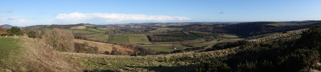
Brown Hill is a prominent natural landmark located in the region of Banffshire, Scotland. Rising majestically to an elevation of approximately 563 meters (1,847 feet), Brown Hill is classified as a hill rather than a mountain due to its moderately steep slopes and relatively compact size. However, despite its slightly modest stature, the hill commands awe-inspiring views and offers a captivating hiking experience for nature enthusiasts.
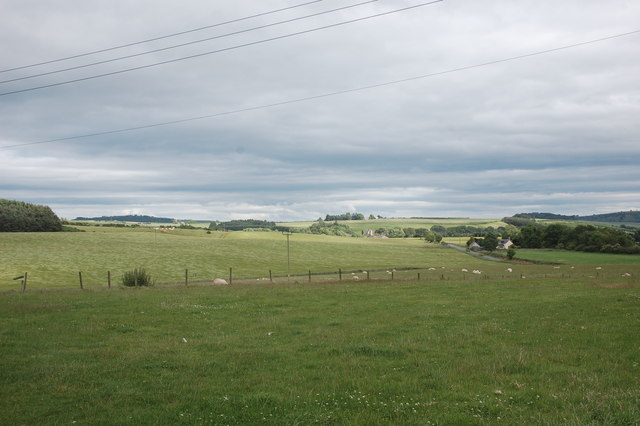
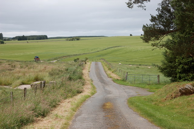
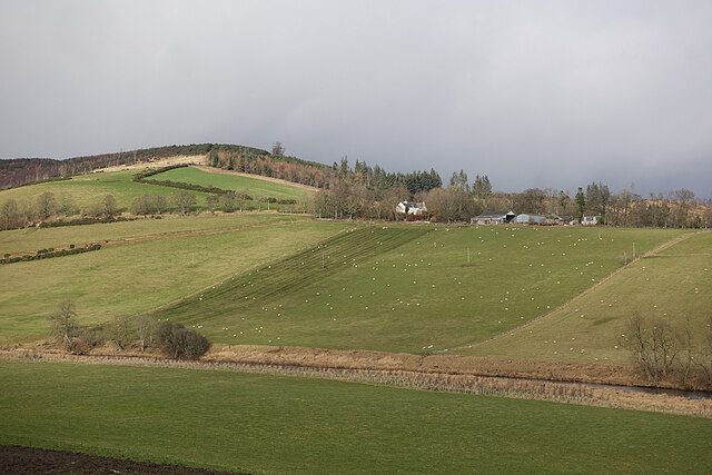
Covered in lush green vegetation, Brown Hill presents a picturesque landscape that is characteristic of the Scottish Highlands. The hill is primarily composed of granite, lending it a distinct reddish-brown hue, which is believed to be the origin of its name. The terrain is undulating, with gentle valleys and rocky outcrops adding texture to the scenery.
Hikers and nature lovers are drawn to Brown Hill for its accessible trails and stunning vistas. The ascent to the summit can be accomplished through various routes, each offering unique perspectives of the surrounding countryside. From the top, one can enjoy sweeping panoramas of the Banffshire region, encompassing rolling hills, meandering rivers, and scattered farmland.
Brown Hill is abundant in flora and fauna, attracting a diverse array of wildlife. Visitors may encounter native bird species, including red grouse and golden eagles, as well as mammals such as red deer and mountain hares. The hillside is adorned with heather, mosses, and wildflowers, contributing to the area's natural beauty.
Overall, Brown Hill stands as a remarkable natural feature in Banffshire, providing an idyllic setting for outdoor enthusiasts seeking tranquility, stunning vistas, and a chance to immerse themselves in the splendor of the Scottish Highlands.
If you have any feedback on the listing, please let us know in the comments section below.
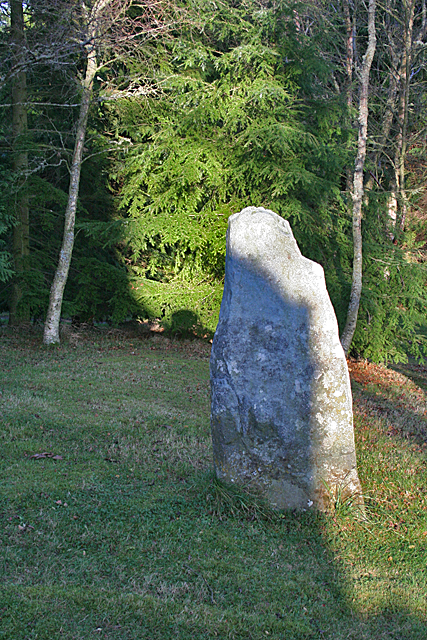
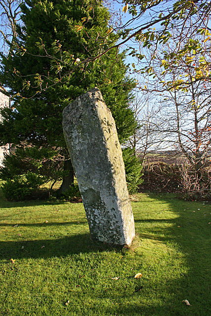
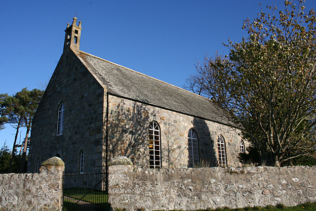
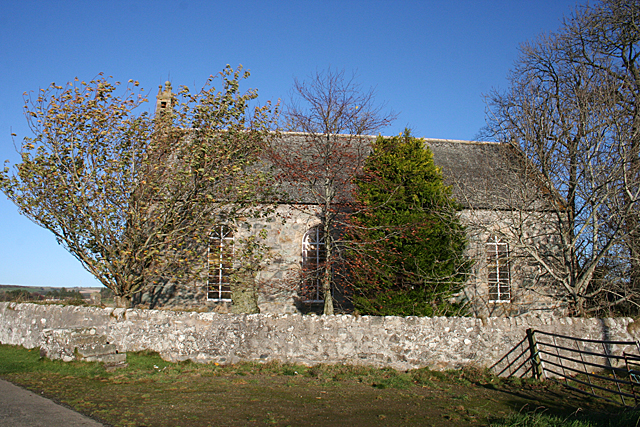
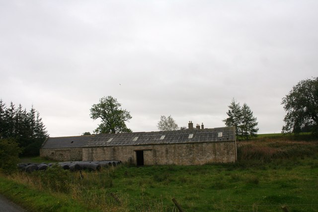
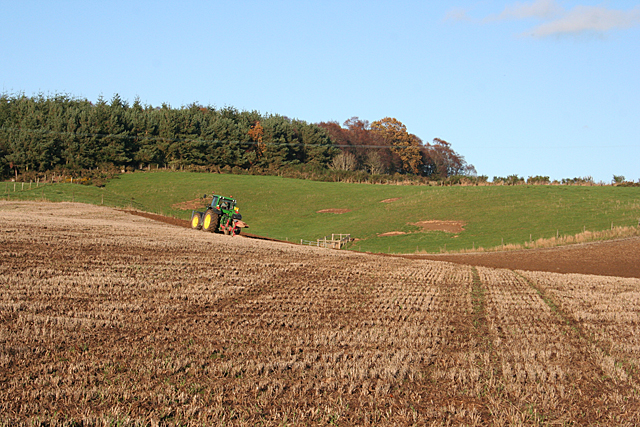
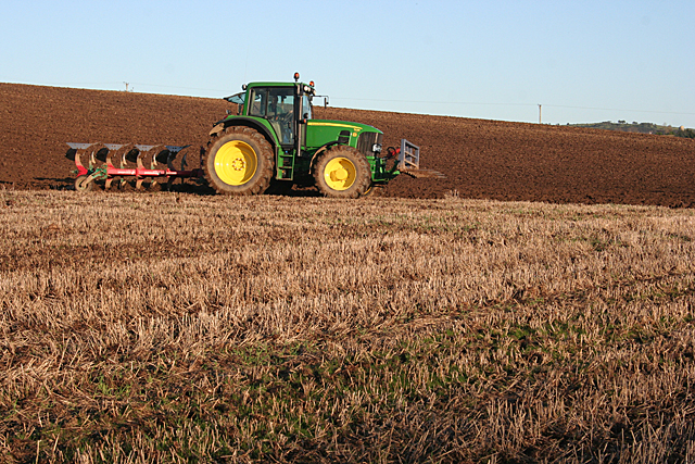
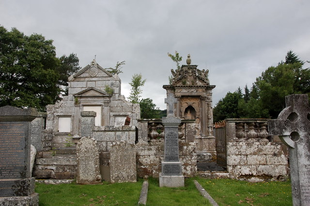
Brown Hill Images
Images are sourced within 2km of 57.526998/-2.6851001 or Grid Reference NJ5948. Thanks to Geograph Open Source API. All images are credited.


Brown Hill is located at Grid Ref: NJ5948 (Lat: 57.526998, Lng: -2.6851001)
Unitary Authority: Moray
Police Authority: North East
What 3 Words
///allow.increased.firelight. Near Aberchirder, Aberdeenshire
Nearby Locations
Related Wikis

Yonder Bognie
Yonder Bognie is a stone circle in Aberdeenshire, Scotland. It is located in an agricultural field under private ownership and is a scheduled monument...

Fourman Hill
Fourman Hill is a hill located west of Bogniebrae, Aberdeenshire, Scotland. It has an elevation of 1,127 feet (344 m). A cairn near the summit marked the...

Bognie Castle
Bognie Castle (also called Conzie Castle) is a ruined castle near Huntly and Banff in the Aberdeenshire region of Scotland. It was built in the 17th century...

Mountains Burn
Mountains Burn is a burn which marks the boundary of the parish of Huntly, Aberdeenshire, Scotland. == References ==

Bogniebrae
Bogniebrae () is a small rural settlement in Aberdeenshire, Scotland. It is located at the junction of the A97 and B9001 roads, six miles (ten kilometres...

Inverkeithny
Inverkeithny is a village in the Formartine area of Aberdeenshire, Scotland. The village lies near where the Burn of Forgue flows into the River Deveron...

Milltown of Rothiemay
Milltown of Rothiemay (Scottish Gaelic: Ràth a' Mhuigh) is a small inland village, built mostly of granite, in the north-east of Scotland and is within...

Aberchirder
Aberchirder (Scots: Fogieloan, Scottish Gaelic: Obar Chiardair) known locally as Foggieloan or Foggie, is a village in Aberdeenshire, Scotland, situated...
Have you been to Brown Hill?
Leave your review of Brown Hill below (or comments, questions and feedback).