Auldtown Wood

Wood, Forest in Banffshire

Scotland

Auldtown Wood

Standing Stone This stone stands outside the wall surrounding the kirk. There is a suggestion that it once formed part of a stone circle where the kirk now is, but was moved and re-erected here. See <span class="nowrap"><a title="https://canmore.org.uk/site/17915/st-marnans-chair" rel="nofollow ugc noopener" href="https://canmore.org.uk/site/17915/st-marnans-chair">Link</a><img style="margin-left:2px;" alt="External link" title="External link - shift click to open in new window" src="https://s1.geograph.org.uk/img/external.png" width="10" height="10"/></span> for more information.
Standing Stone Credit: Anne Burgess

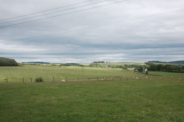
Auldtown Wood is a picturesque forest located in Banffshire, Scotland. Covering an area of approximately 50 hectares, this enchanting woodland is a popular destination for nature enthusiasts and outdoor adventurers alike.

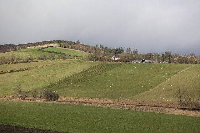
The woodland is characterized by its diverse range of tree species, including oak, birch, and Scots pine, creating a rich and vibrant ecosystem. The forest floor is adorned with a carpet of mosses and ferns, adding to the enchanting atmosphere of the wood. Auldtown Wood is also home to a variety of wildlife, such as red squirrels, roe deer, and a plethora of bird species, making it a haven for wildlife enthusiasts and birdwatchers.

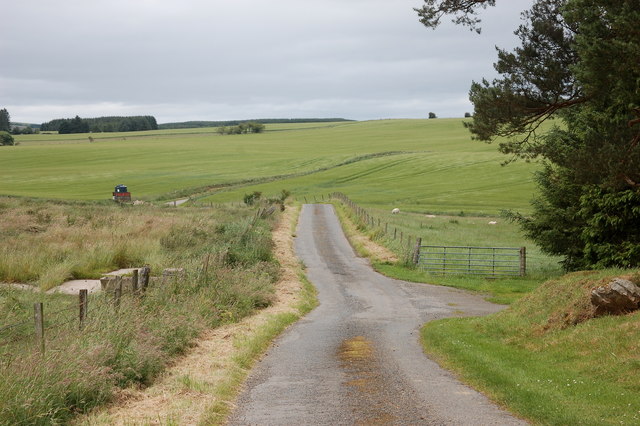
The wood offers a network of well-maintained trails that wind their way through the forest, providing visitors with the opportunity to explore this natural wonder. Whether you prefer a leisurely stroll or a more challenging hike, there are trails to suit all abilities. The paths meander past babbling brooks and tranquil ponds, offering breathtaking views of the surrounding countryside.

Auldtown Wood is also a great place for recreational activities, such as picnicking and nature photography. There are several designated picnic areas where visitors can relax and enjoy the serene surroundings. Additionally, the forest provides ample opportunity for capturing stunning photographs of the flora and fauna that call this woodland home.

Overall, Auldtown Wood is a captivating destination that offers a tranquil escape from the hustle and bustle of everyday life. Its natural beauty and diverse wildlife make it a must-visit location for anyone seeking a connection with nature.

If you have any feedback on the listing, please let us know in the comments section below.

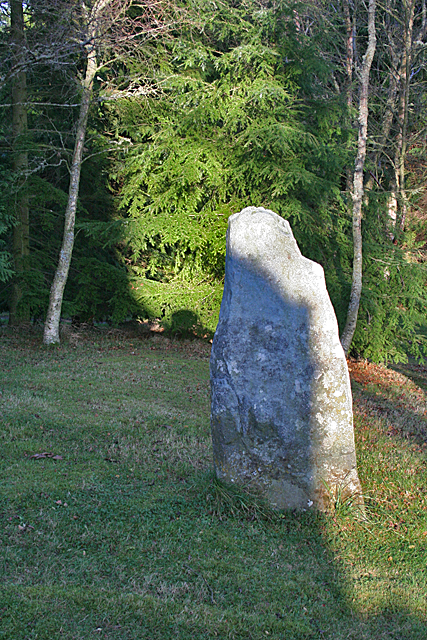
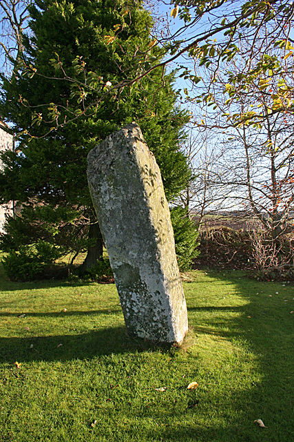
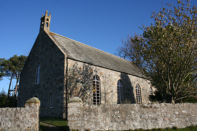
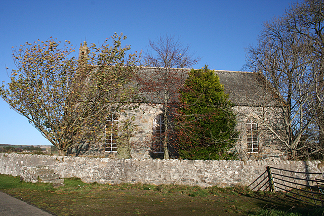
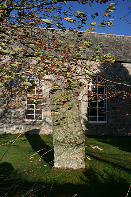
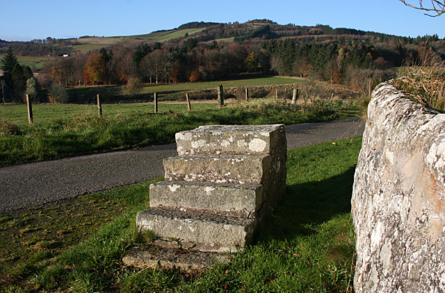
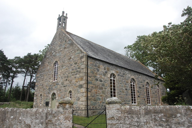
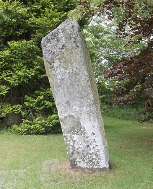
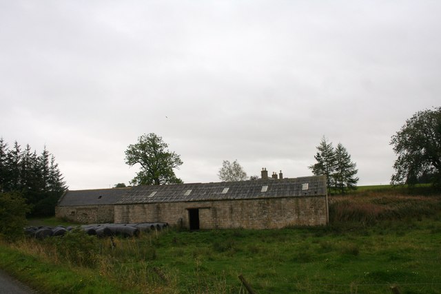
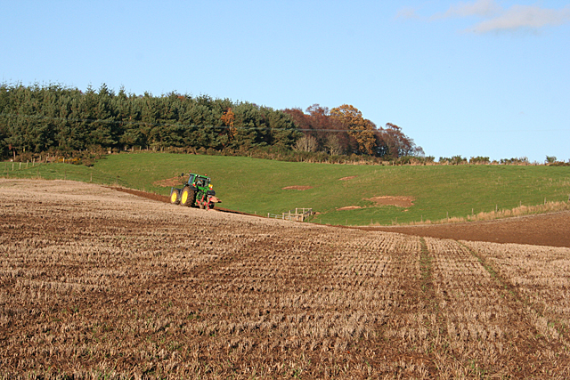
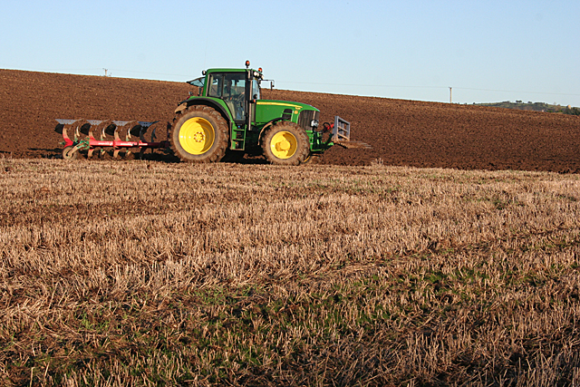
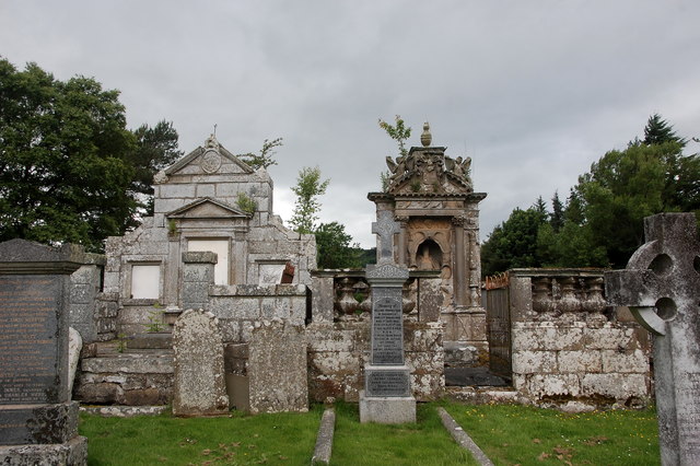
Auldtown Wood Images

Images are sourced within 2km of 57.526356/-2.6858395 or Grid Reference NJ5948. Thanks to Geograph Open Source API. All images are credited.

Standing Stone This stone stands outside the wall surrounding the kirk. There is a suggestion that it once formed part of a stone circle where the kirk now is, but was moved and re-erected here. See <span class="nowrap"><a title="https://canmore.org.uk/site/17915/st-marnans-chair" rel="nofollow ugc noopener" href="https://canmore.org.uk/site/17915/st-marnans-chair">Link</a><img style="margin-left:2px;" alt="External link" title="External link - shift click to open in new window" src="https://s1.geograph.org.uk/img/external.png" width="10" height="10"/></span> for more information.
Standing Stone
This stone stands outside the wall surrounding the kirk. There is a suggestion that it once formed part of a stone circle where the kirk now is, but was moved and re-erected here. See LinkExternal link for more information.
St Marnan's Chair Either St Marnan was a very odd shape, or perhaps he was into pole-sitting. This un-chair-like standing stone is in the grounds of St Marnan's Kirk. It may have formed part of an ancient stone circle. See <span class="nowrap"><a title="https://canmore.org.uk/site/17915/st-marnans-chair" rel="nofollow ugc noopener" href="https://canmore.org.uk/site/17915/st-marnans-chair">Link</a><img style="margin-left:2px;" alt="External link" title="External link - shift click to open in new window" src="https://s1.geograph.org.uk/img/external.png" width="10" height="10"/></span> for more information.
St Marnan's Chair
Either St Marnan was a very odd shape, or perhaps he was into pole-sitting. This un-chair-like standing stone is in the grounds of St Marnan's Kirk. It may have formed part of an ancient stone circle. See LinkExternal link for more information.
St Marnan's Kirk This is the parish kirk of Marnoch, built in 1782. It replaced an earlier building further down near the river, where the kirkyard is. See <span class="nowrap"><a title="http://www.scottishchurches.org.uk/sites/site/id/703/name/Marnoch+Old+Parish+Church+Marnoch+Grampian" rel="nofollow ugc noopener" href="http://www.scottishchurches.org.uk/sites/site/id/703/name/Marnoch+Old+Parish+Church+Marnoch+Grampian">Link</a><img style="margin-left:2px;" alt="External link" title="External link - shift click to open in new window" src="https://s1.geograph.org.uk/img/external.png" width="10" height="10"/></span> for more information.
St Marnan's Kirk
This is the parish kirk of Marnoch, built in 1782. It replaced an earlier building further down near the river, where the kirkyard is. See LinkExternal link for more information.
Marnoch Parish Kirk Dedicated to St Marnan, built in 1782 and still in use. The trees make it difficult to photograph well, but <a href="https://www.geograph.org.uk/photo/391947">NJ5950 : Marnoch old church</a> is an older view. See <span class="nowrap"><a title="http://www.scottishchurches.org.uk/sites/site/id/703/name/Marnoch+Old+Parish+Church+Marnoch+Grampian" rel="nofollow ugc noopener" href="http://www.scottishchurches.org.uk/sites/site/id/703/name/Marnoch+Old+Parish+Church+Marnoch+Grampian">Link</a><img style="margin-left:2px;" alt="External link" title="External link - shift click to open in new window" src="https://s1.geograph.org.uk/img/external.png" width="10" height="10"/></span> for more information.
Marnoch Parish Kirk
Dedicated to St Marnan, built in 1782 and still in use. The trees make it difficult to photograph well, but NJ5950 : Marnoch old church is an older view. See LinkExternal link for more information.
St Marnan's Chair Either St Marnan was a very odd shape, or perhaps he was into pole-sitting. This un-chair-like standing stone is in the grounds of St Marnan's Kirk. It may have formed part of an ancient stone circle. See <span class="nowrap"><a title="https://canmore.org.uk/site/17915/st-marnans-chair" rel="nofollow ugc noopener" href="https://canmore.org.uk/site/17915/st-marnans-chair">Link</a><img style="margin-left:2px;" alt="External link" title="External link - shift click to open in new window" src="https://s1.geograph.org.uk/img/external.png" width="10" height="10"/></span> for more information.
St Marnan's Chair
Either St Marnan was a very odd shape, or perhaps he was into pole-sitting. This un-chair-like standing stone is in the grounds of St Marnan's Kirk. It may have formed part of an ancient stone circle. See LinkExternal link for more information.
Loupin-on Stane This mounting block stands just outside the kirkyard wall at Marnoch Parish Kirk.
Loupin-on Stane
This mounting block stands just outside the kirkyard wall at Marnoch Parish Kirk.
Marnoch Old Kirk This handsome rectangular kirk replaced St Marnoch's (old) Church, situated a few hundred metres to the southwest, in around 1790.  The bell, presumably from the old church, is dated 1747.  The congregation 'came out' in 1841 in a row over patronage and established a new church (confusingly called New Marnoch Church) at the planned village of Aberchirder, about 3km to the northeast (see: <a title="https://www.geograph.org.uk/photo/5450589" href="https://www.geograph.org.uk/photo/5450589">Link</a> ).  The two kirks were reunited in 1929 and it is now part of a joint parish with its Aberchirder neighbour.  A fine standing stone called St Marnan's Chair can be seen in the kirkyard.
Marnoch Old Kirk
This handsome rectangular kirk replaced St Marnoch's (old) Church, situated a few hundred metres to the southwest, in around 1790. The bell, presumably from the old church, is dated 1747. The congregation 'came out' in 1841 in a row over patronage and established a new church (confusingly called New Marnoch Church) at the planned village of Aberchirder, about 3km to the northeast (see: Link ). The two kirks were reunited in 1929 and it is now part of a joint parish with its Aberchirder neighbour. A fine standing stone called St Marnan's Chair can be seen in the kirkyard.
St Marnan's Chair A fine standing stone in the kirkyard of Marnoch Old Kirk, thought to possibly date from the bronze age: <span class="nowrap"><a title="https://canmore.org.uk/site/17915/st-marnans-chair" rel="nofollow ugc noopener" href="https://canmore.org.uk/site/17915/st-marnans-chair">Link</a><img style="margin-left:2px;" alt="External link" title="External link - shift click to open in new window" src="https://s1.geograph.org.uk/img/external.png" width="10" height="10"/></span> .
St Marnan's Chair
A fine standing stone in the kirkyard of Marnoch Old Kirk, thought to possibly date from the bronze age: LinkExternal link .
View over the fields Typical rolling hills in this part of Aberdeenshire.
View over the fields
Typical rolling hills in this part of Aberdeenshire.
Single-track road A typical Aberdeenshire byway which makes its windy way to Aberchirder.
Single-track road
A typical Aberdeenshire byway which makes its windy way to Aberchirder.
Mayen and the River Deveron In the middle distance is Mayen, which is almost surrounded by a meander of the River Deveron, which turns from flowing south-eastwards to flowing northwards in just a couple of miles. The glen of the Deveron between Rothiemay and Turriff is an excellent example of incised meanders, where the twisting course of an ancient river has been preserved as the river has cut down into the underlying bedrock. The bedrock here is mainly pelite and psammite, formed by metamorphosis of mudstones and sandstones deposited in a deep sea environment between 500 and 1000 million years ago.
Mayen and the River Deveron
In the middle distance is Mayen, which is almost surrounded by a meander of the River Deveron, which turns from flowing south-eastwards to flowing northwards in just a couple of miles. The glen of the Deveron between Rothiemay and Turriff is an excellent example of incised meanders, where the twisting course of an ancient river has been preserved as the river has cut down into the underlying bedrock. The bedrock here is mainly pelite and psammite, formed by metamorphosis of mudstones and sandstones deposited in a deep sea environment between 500 and 1000 million years ago.
Mains of Mayen Viewed from above the opposite bank of the River Deveron.
Mains of Mayen
Viewed from above the opposite bank of the River Deveron.
Former tollhouse Surveyed by the Milestone Society.  This old toll house is on the A97 from Huntly to Aberchirder at Bridge of Marnoch. It is on the west side of the road just south of the bridge over the River Deveron.  The safety barrier at the low stone bridge can just be seen in the photograph.  The single storey house has been modernised with the addition of dormer windows but it is the classic shape of a tollhouse and is another 'guarding' a bridge.
Former tollhouse
Surveyed by the Milestone Society. This old toll house is on the A97 from Huntly to Aberchirder at Bridge of Marnoch. It is on the west side of the road just south of the bridge over the River Deveron. The safety barrier at the low stone bridge can just be seen in the photograph. The single storey house has been modernised with the addition of dormer windows but it is the classic shape of a tollhouse and is another 'guarding' a bridge.
Woodhead Steading Woodhead Farm by Auchingoul.
Woodhead Steading
Woodhead Farm by Auchingoul.
Ploughing below Bellman's Wood Bellman's Wood occupies the top of the slope above the B9117 near Marnoch.
Ploughing below Bellman's Wood
Bellman's Wood occupies the top of the slope above the B9117 near Marnoch.
Ploughing at Marnoch A tractorman ploughs meticulous furrows in a field by the B9117 at Marnoch.
Ploughing at Marnoch
A tractorman ploughs meticulous furrows in a field by the B9117 at Marnoch.
Innes and Meldrum monuments, Marnoch Cemetery The cemetery beside the River Deveron is the site of the medieval St Marnoch's church, which fell into ruin when its replacement was built a few hundred metres to the northeast around the late 18th Century.  The cemetery is still used for burials under the aegis of Aberdeenshire Council but its main attraction is the magnificent Meldrum monument from 1699.
Innes and Meldrum monuments, Marnoch Cemetery
The cemetery beside the River Deveron is the site of the medieval St Marnoch's church, which fell into ruin when its replacement was built a few hundred metres to the northeast around the late 18th Century. The cemetery is still used for burials under the aegis of Aberdeenshire Council but its main attraction is the magnificent Meldrum monument from 1699.
Meldrum monument, Marnoch cemetery This magnificent monument erected in 1699 to George Meldrum (1616-1692) largely justifies the A-listing of the site.  For more details, see Epitaphs and Inscriptions from Burial Grounds and Old Buildings in the Northeast of Scotland (volume 1) p. 231, by Andrew Jervise (available as a free download from archive.org).  The monument is in deplorable condition, being covered by lichen and with plants growing out of, and damaging, the stonework.
Meldrum monument, Marnoch cemetery
This magnificent monument erected in 1699 to George Meldrum (1616-1692) largely justifies the A-listing of the site. For more details, see Epitaphs and Inscriptions from Burial Grounds and Old Buildings in the Northeast of Scotland (volume 1) p. 231, by Andrew Jervise (available as a free download from archive.org). The monument is in deplorable condition, being covered by lichen and with plants growing out of, and damaging, the stonework.
Show me another place!

Auldtown Wood is located at Grid Ref: NJ5948 (Lat: 57.526356, Lng: -2.6858395)

Unitary Authority: Moray

Police Authority: North East

What 3 Words

///recur.conductor.nodded. Near Aberchirder, Aberdeenshire

Related Wikis

Yonder Bognie

Yonder Bognie is a stone circle in Aberdeenshire, Scotland. It is located in an agricultural field under private ownership and is a scheduled monument...

Fourman Hill

Fourman Hill is a hill located west of Bogniebrae, Aberdeenshire, Scotland. It has an elevation of 1,127 feet (344 m). A cairn near the summit marked the...

Bognie Castle

Bognie Castle (also called Conzie Castle) is a ruined castle near Huntly and Banff in the Aberdeenshire region of Scotland. It was built in the 17th century...

Mountains Burn

Mountains Burn is a burn which marks the boundary of the parish of Huntly, Aberdeenshire, Scotland. == References ==

Bogniebrae

Bogniebrae () is a small rural settlement in Aberdeenshire, Scotland. It is located at the junction of the A97 and B9001 roads, six miles (ten kilometres...

Milltown of Rothiemay

Milltown of Rothiemay (Scottish Gaelic: RĂ th a' Mhuigh) is a small inland village, built mostly of granite, in the north-east of Scotland and is within...

Inverkeithny

Inverkeithny is a village in the Formartine area of Aberdeenshire, Scotland. The village lies near where the Burn of Forgue flows into the River Deveron...

Aberchirder

Aberchirder (Scots: Fogieloan, Scottish Gaelic: Obar Chiardair) known locally as Foggieloan or Foggie, is a village in Aberdeenshire, Scotland, situated...

Have you been to Auldtown Wood?

Leave your review of Auldtown Wood below (or comments, questions and feedback).