Golborne Dale
Valley in Lancashire
England
Golborne Dale
Golborne Dale is a small valley located in the county of Lancashire, in the northwest of England. Situated near the town of Golborne, the dale stretches for approximately one mile and is surrounded by picturesque countryside.
The valley is known for its natural beauty, with rolling hills, meandering streams, and lush greenery. It is a popular spot for outdoor activities such as hiking, picnicking, and wildlife observation. The area is home to various species of plants and animals, including rabbits, foxes, and a variety of bird species.
Golborne Dale holds historical significance as well. It was once a thriving mining community, with several coal mines operating in the area during the 19th and early 20th centuries. The remnants of these mines can still be seen today, with old mine shafts and buildings scattered throughout the dale.
In addition to its natural and historical features, Golborne Dale offers a peaceful and tranquil atmosphere, making it a perfect escape from the hustle and bustle of nearby towns and cities. The valley is easily accessible by foot or car, and there are designated walking paths and picnic areas for visitors to enjoy.
Overall, Golborne Dale is a charming and idyllic location, offering a combination of natural beauty, historical significance, and a serene environment. It is a place where visitors can immerse themselves in nature, explore the remnants of the past, and experience a sense of tranquility.
If you have any feedback on the listing, please let us know in the comments section below.
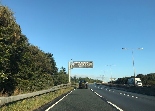
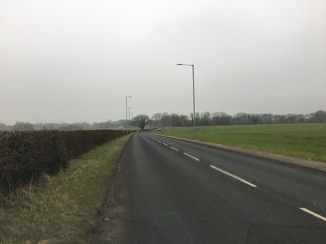
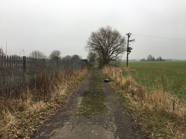
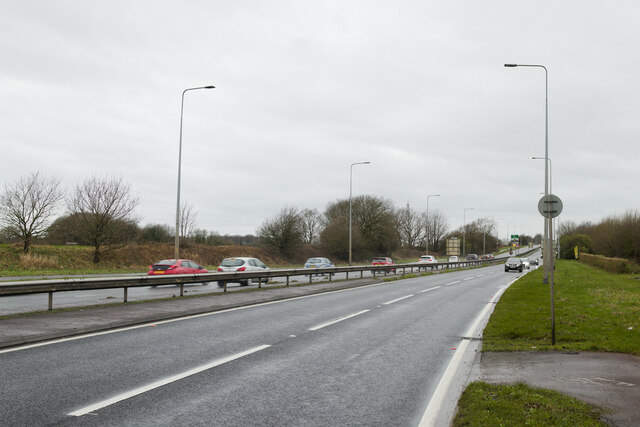
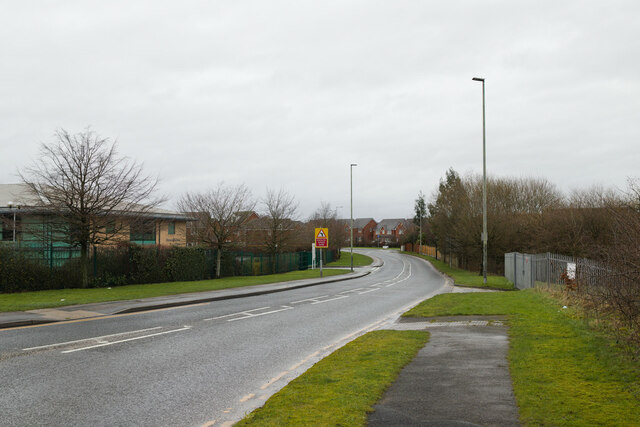
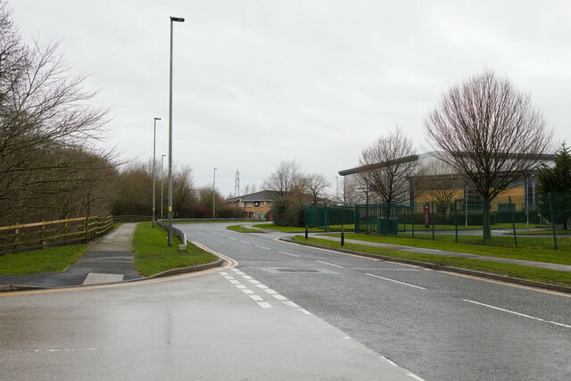
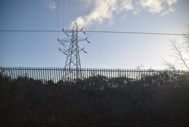
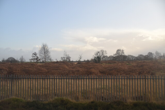
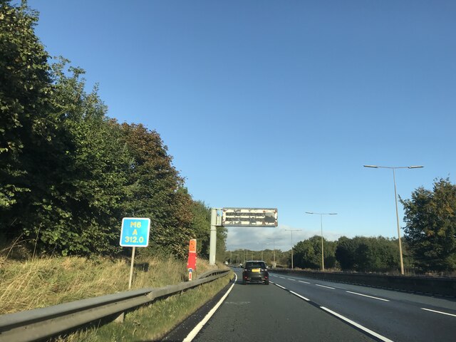
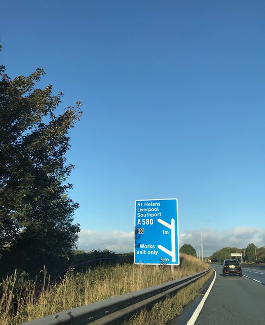
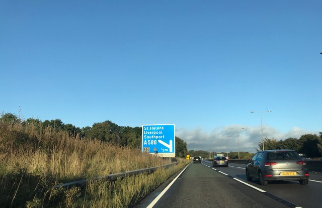
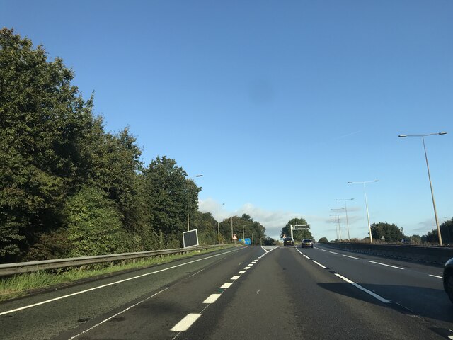
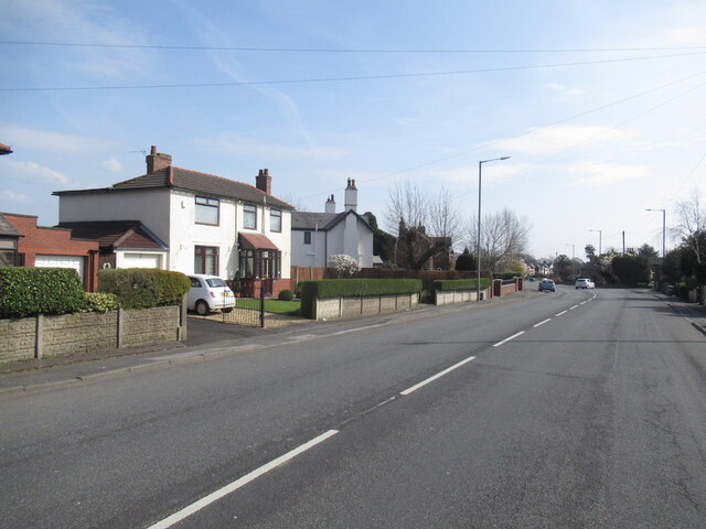
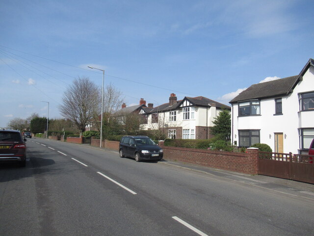
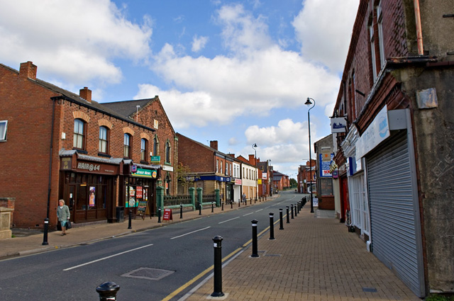
Golborne Dale Images
Images are sourced within 2km of 53.461409/-2.6066998 or Grid Reference SJ5996. Thanks to Geograph Open Source API. All images are credited.


Golborne Dale is located at Grid Ref: SJ5996 (Lat: 53.461409, Lng: -2.6066998)
Unitary Authority: St. Helens
Police Authority: Merseyside
What 3 Words
///served.item.amber. Near Newton-le-Willows, Merseyside
Nearby Locations
Related Wikis

Lowton railway station
Lowton railway station served the village named Town of Lowton to the east of Newton-le-Willows and south of Golborne. == Location == It stood immediately...

Newton-le-Willows railway station
Newton-le-Willows railway station is a railway station in the town of Newton-le-Willows, in the Metropolitan Borough of St Helens, and at the edge of the...

Hope Academy
Hope Academy is a coeducational secondary school with academy status located in Newton-le-Willows in the English county of Merseyside. == History == St...

A580 road
The A580 (officially the Liverpool–East Lancashire Road, colloquially the East Lancs) is the United Kingdom's first purpose-built inter-city highway. The...
Parkside railway station (Merseyside)
Parkside railway station was an original station on the Liverpool and Manchester Railway. It then became the interchange station between lines when the...

Cumfybus
Cumfybus is a bus company based in Southport, Merseyside. Its operations were small scale throughout the 1990s, but it has expanded significantly since...
Parkside Colliery
Parkside Colliery was a coal mine in Newton-le-Willows, in the historic county of Lancashire, but from 1974, until its closure in 1993, it was in the metropolitan...
Golborne
Golborne (pronounced go:lbə:n or go:bə:n) is a town in the Metropolitan Borough of Wigan, in Greater Manchester, England. It lies 5 miles (8.0 km) south...
Nearby Amenities
Located within 500m of 53.461409,-2.6066998Have you been to Golborne Dale?
Leave your review of Golborne Dale below (or comments, questions and feedback).