Park Plantation
Wood, Forest in Lancashire
England
Park Plantation
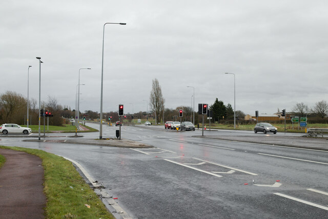
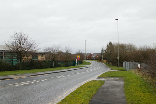
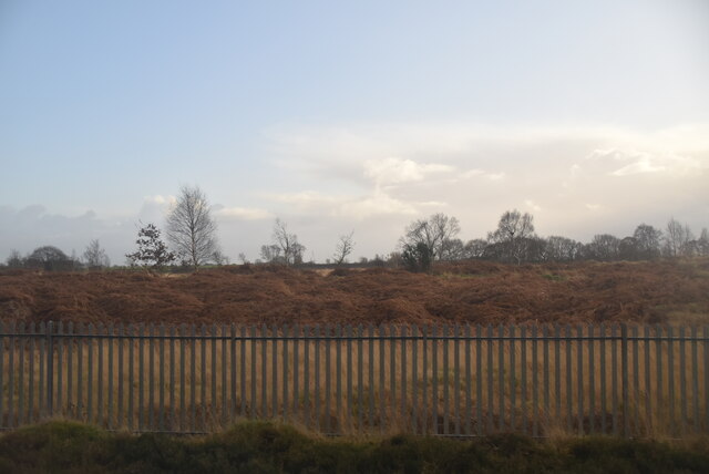
Park Plantation is a lush woodland located in the Lancashire region of England. Situated in a serene and picturesque setting, this forested area covers a vast expanse of land, offering visitors a tranquil escape from the hustle and bustle of city life.
The plantation is predominantly made up of various species of trees, including oak, beech, and birch, which create a dense and enchanting canopy. The forest floor is adorned with an array of wildflowers, adding bursts of color to the landscape throughout the year. Numerous walking trails wind their way through the woodland, allowing visitors to explore the natural beauty at their own pace.
Park Plantation is home to a diverse range of wildlife, making it a haven for nature enthusiasts. Birdwatchers can spot a variety of species, including woodpeckers, owls, and thrushes, while mammal lovers may catch glimpses of deer, foxes, and rabbits. The plantation's natural habitats also provide a sanctuary for smaller creatures such as squirrels, badgers, and hedgehogs.
In addition to its natural beauty, Park Plantation offers several amenities to enhance visitors' experiences. The plantation is equipped with picnic areas, allowing families and friends to enjoy a leisurely outdoor meal amidst the serene surroundings. There are also designated camping grounds for those looking to extend their stay and immerse themselves in the forest's tranquility.
Overall, Park Plantation is a captivating woodland sanctuary in Lancashire, offering a peaceful retreat for nature lovers and a chance to reconnect with the natural world.
If you have any feedback on the listing, please let us know in the comments section below.
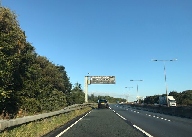
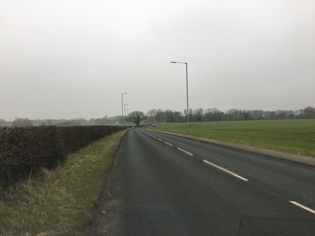
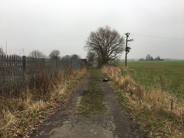
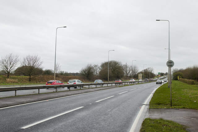
Park Plantation Images
Images are sourced within 2km of 53.464968/-2.6067806 or Grid Reference SJ5996. Thanks to Geograph Open Source API. All images are credited.

Park Plantation is located at Grid Ref: SJ5996 (Lat: 53.464968, Lng: -2.6067806)
Unitary Authority: Wigan
Police Authority: Greater Manchester
What 3 Words
///nuns.lions.sector. Near Golborne, Manchester
Nearby Locations
Related Wikis

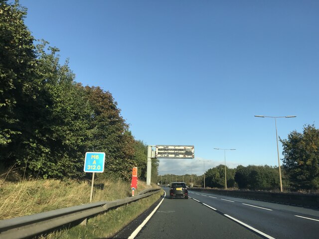
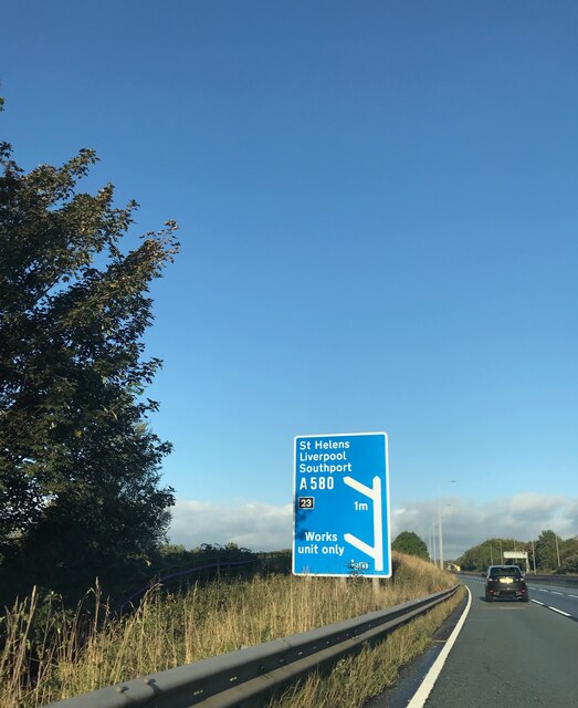
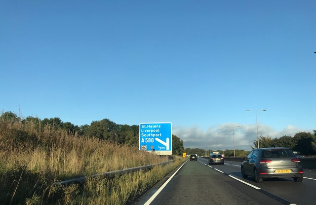
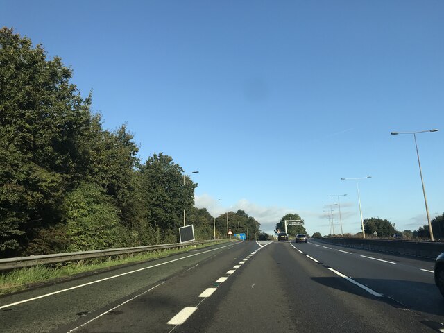
A580 road
The A580 (officially the Liverpool–East Lancashire Road, colloquially the East Lancs) is the United Kingdom's first purpose-built inter-city highway. The...

Lowton railway station
Lowton railway station served the village named Town of Lowton to the east of Newton-le-Willows and south of Golborne. == Location == It stood immediately...

Hope Academy
Hope Academy is a coeducational secondary school with academy status located in Newton-le-Willows in the English county of Merseyside. == History == St...

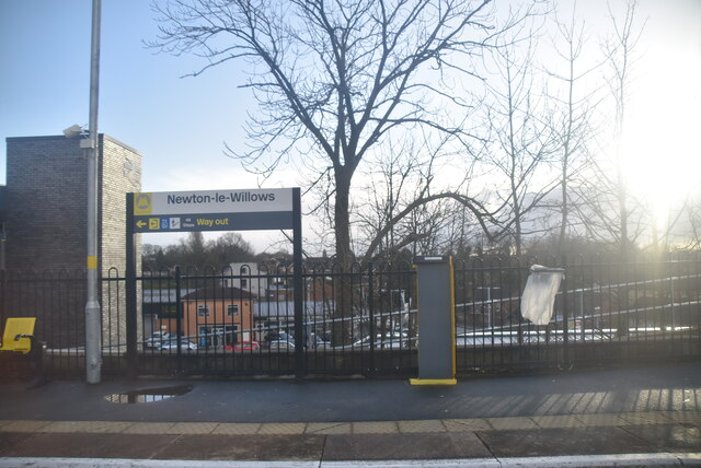
Newton-le-Willows railway station
Newton-le-Willows railway station is a railway station in the town of Newton-le-Willows, in the Metropolitan Borough of St Helens, and at the edge of the...
Golborne
Golborne (pronounced go:lbə:n or go:bə:n) is a town in the Metropolitan Borough of Wigan, in Greater Manchester, England. It lies 5 miles (8.0 km) south...
Parkside railway station (Merseyside)
Parkside railway station was an original station on the Liverpool and Manchester Railway. It then became the interchange station between lines when the...

Cumfybus
Cumfybus is a bus company based in Southport, Merseyside. Its operations were small scale throughout the 1990s, but it has expanded significantly since...
Golborne South railway station
Golborne South railway station was one of two stations serving the town of Golborne, to the south of Wigan. == The early line and station to 1849 == The...
Nearby Amenities
Located within 500m of 53.464968,-2.6067806Have you been to Park Plantation?
Leave your review of Park Plantation below (or comments, questions and feedback).