Lownie Slack

Valley in Angus

Scotland

Lownie Slack

B9134 at Myrestone The B9134 heading down the hill towards Forfar at Myrestone.
B9134 at Myrestone Credit: Scott Cormie

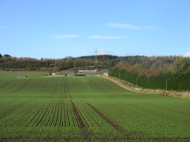
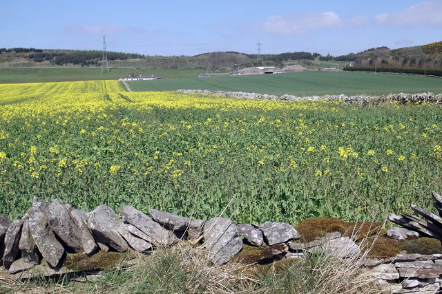
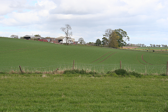
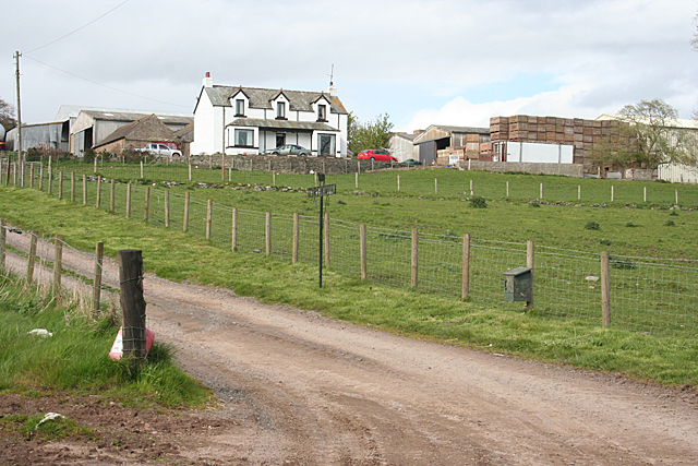
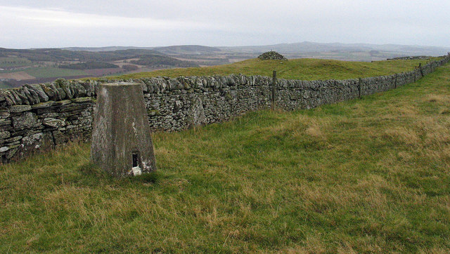
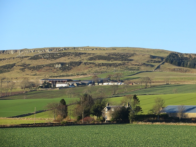
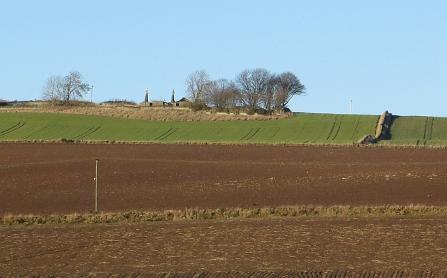
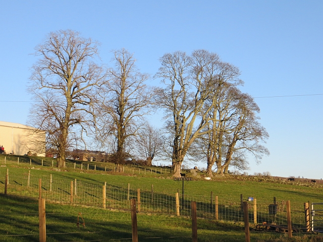
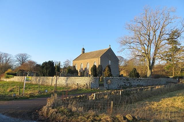
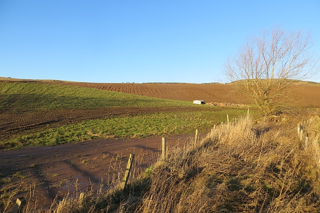
Lownie Slack, Angus (Valley) is a picturesque and idyllic location situated in the county of Angus, Scotland. Nestled in a valley surrounded by rolling hills and lush green landscapes, this area is a haven for nature enthusiasts and those seeking tranquility away from the hustle and bustle of urban life.

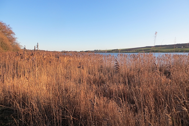
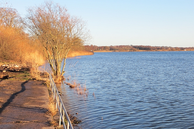
The valley is named after the Lownie Slack, a small stream that meanders through the area, adding to its natural charm. The stream is known for its crystal-clear waters, which are a result of the pristine environment and the absence of human interference.

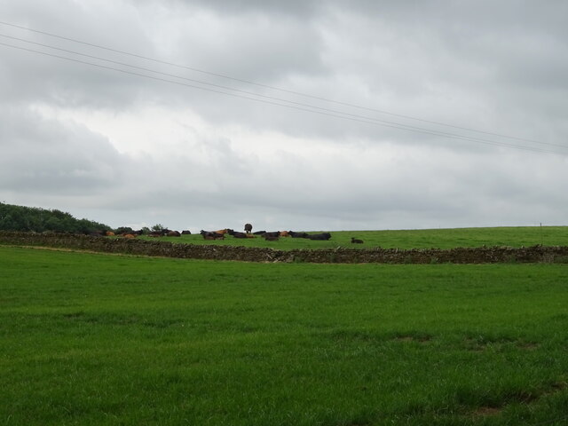
Lownie Slack boasts a diverse range of flora and fauna, making it a popular spot for wildlife enthusiasts. The valley is home to a variety of bird species, including buzzards, kestrels, and pheasants, making it a birdwatcher's paradise. Visitors can also spot deer, rabbits, and other small mammals roaming freely in their natural habitat.

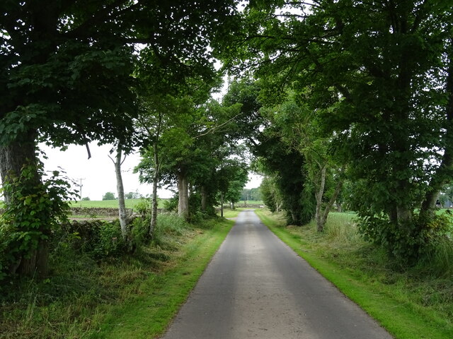
The area offers various recreational activities for visitors to enjoy. Hiking and walking trails wind through the valley, allowing outdoor enthusiasts to explore the picturesque landscapes and take in breathtaking views. The valley's peaceful ambiance also makes it an ideal spot for picnics, meditation, and simply unwinding amidst nature.

Lownie Slack, Angus (Valley) is a hidden gem that showcases the beauty of Scotland's countryside. Its natural landscapes, diverse wildlife, and tranquil atmosphere make it a destination worth exploring for those seeking an escape into nature's embrace.

If you have any feedback on the listing, please let us know in the comments section below.
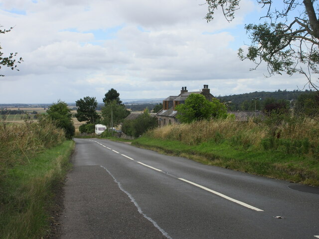
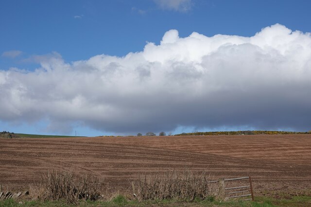
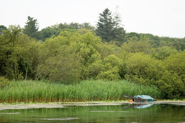
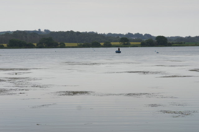
Lownie Slack Images

Images are sourced within 2km of 56.669963/-2.8005751 or Grid Reference NO5153. Thanks to Geograph Open Source API. All images are credited.

B9134 at Myrestone The B9134 heading down the hill towards Forfar at Myrestone.
B9134 at Myrestone
The B9134 heading down the hill towards Forfar at Myrestone.
Grazing near Tilliwhanland
Road to Tilliwhanland Farm Nicely surfaced.
Road to Tilliwhanland Farm
Nicely surfaced.
Field near Rescobie Loch Newly ploughed and sewn field near Rescobie Loch.
Field near Rescobie Loch
Newly ploughed and sewn field near Rescobie Loch.
Carsegownie from the B9134 Looking to the farm buildings at Carsegownie from the roadside of the B9134.
Carsegownie from the B9134
Looking to the farm buildings at Carsegownie from the roadside of the B9134.
View of farmland looking towards Carsegownie Farm The picture was taken looking northwards from the Forfar / Aberlemno Road (B9134).
View of farmland looking towards Carsegownie Farm
The picture was taken looking northwards from the Forfar / Aberlemno Road (B9134).
Drimmie Farm Viewed from near the parish kirk. A substantial farm on good arable land, set just up the slope from Rescobie Loch.
Drimmie Farm
Viewed from near the parish kirk. A substantial farm on good arable land, set just up the slope from Rescobie Loch.
Drimmie from the B9113 The farm house and buildings are sited a little way uphill from the B9113 which follows the north shore of Rescobie Loch.
Drimmie from the B9113
The farm house and buildings are sited a little way uphill from the B9113 which follows the north shore of Rescobie Loch.
Trig point on Turin Hill Turin Hill is the location of considerable Iron Age history; see - <span class="nowrap"><a title="http://canmore.rcahms.gov.uk/en/site/34899/details/turin+hill/" rel="nofollow ugc noopener" href="http://canmore.rcahms.gov.uk/en/site/34899/details/turin+hill/">Link</a><img style="margin-left:2px;" alt="External link" title="External link - shift click to open in new window" src="https://s1.geograph.org.uk/img/external.png" width="10" height="10"/></span>.
A dry stone wall crosses the top of the hill close to which is the trig point bearing the flush bracket, S4480.
Trig point on Turin Hill
Turin Hill is the location of considerable Iron Age history; see - LinkExternal link. A dry stone wall crosses the top of the hill close to which is the trig point bearing the flush bracket, S4480.
Nethermuir View towards Turin Hill.
Nethermuir
View towards Turin Hill.
Turin Knaps Ruin on the slopes of Turin Hill.
Turin Knaps
Ruin on the slopes of Turin Hill.
Drimmie A clump of trees beside Drimmie
Drimmie
A clump of trees beside Drimmie
Reed bed,  Rescobie Loch
Reed bed, Rescobie Loch
Rescobie Parish Church A Telford kirk with the four windows on either side. Thomas Telford was commissioned to design a simple and inexpensive church building. Many were built, mostly in the Highlands. View from beside the loch.
Rescobie Parish Church
A Telford kirk with the four windows on either side. Thomas Telford was commissioned to design a simple and inexpensive church building. Many were built, mostly in the Highlands. View from beside the loch.
Fields, Rescobie A burn drains to Rescobie Loch.
Fields, Rescobie
A burn drains to Rescobie Loch.
Rescobie Loch A shallow loch in an area of glacial depositional features. The view is from the angling club and the water level is quite high.
Rescobie Loch
A shallow loch in an area of glacial depositional features. The view is from the angling club and the water level is quite high.
West end of Rescobie Loch, Forfar
Rescobie Loch, Forfar
Show me another place!

Lownie Slack is located at Grid Ref: NO5153 (Lat: 56.669963, Lng: -2.8005751)

Unitary Authority: Angus

Police Authority: Tayside

What 3 Words

///divide.thirsty.roadways. Near Letham, Angus

Related Wikis

Rescobie Loch

Rescobie Loch is a post glacial fresh water body located in the parish of Rescobie, 4 km (2.5 mi) to the East of Forfar, in the county of Angus, Scotland...

Clocksbriggs railway station

Clocksbriggs railway station served the town of Forfar, Angus, Scotland from 1848 to 1964 on the Arbroath and Forfar Railway. == History == The station...

Aberlemno Sculptured Stones

The Aberlemno Sculptured Stones are a series of Pictish standing stones originating in and around the village of Aberlemno, Angus, Scotland. Three are...

Aberlemno

Aberlemno (Scottish Gaelic: Obar Leamhnach, IPA:[ˈopəɾˈʎɛunəx]) is a parish and small village in the Scottish council area of Angus. It is noted for three...

Nearby Amenities

Located within 500m of 56.669963,-2.8005751
Turin Hill
Corbett: no
Ele: 214
Graham: no
Marilyn: yes
Munro: no
Natural: peak
Prominence: 179
Lat/Long: 56.671037/-2.7934053
Man Made: survey_point
Lat/Long: 56.6711953/-2.7933878
Ele: 216
Natural: peak
Lat/Long: 56.6707649/-2.8006108
The data included in this document is from www.openstreetmap.org. The data is made available under ODbL.

Have you been to Lownie Slack?

Leave your review of Lownie Slack below (or comments, questions and feedback).