Turin Hill
Hill, Mountain in Angus
Scotland
Turin Hill
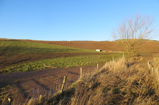
Turin Hill is a prominent hill located in Angus, Scotland. Situated near the village of Newtyle, it stands at an elevation of 158 meters (518 feet) above sea level. Although not classified as a mountain, Turin Hill is often referred to as such due to its significant prominence in the surrounding landscape.
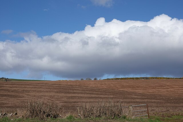
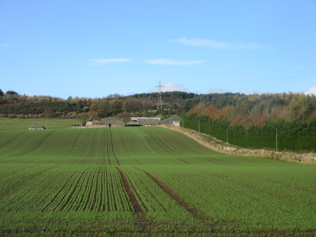
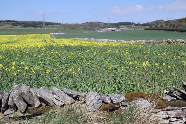
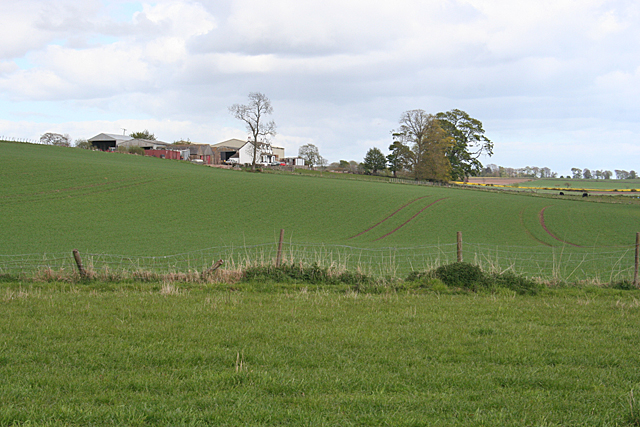
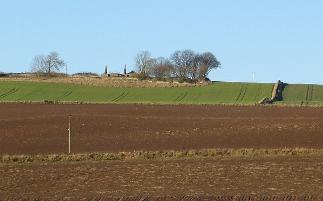
The hill is characterized by its gently sloping sides and rounded summit, which provides breathtaking panoramic views of the surrounding countryside. From its peak, one can observe the fertile farmland, rolling hills, and scattered woodland that make up the picturesque Angus landscape.
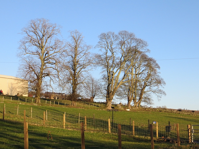
Turin Hill is a popular destination for outdoor enthusiasts and nature lovers. It offers a variety of walking and hiking trails that cater to different skill levels, making it accessible to both experienced hikers and casual walkers. The paths wind their way through heather-clad slopes, offering glimpses of wildlife and native plants along the way.
The hill is also rich in archaeological and historical significance. There are remnants of ancient hill forts, burial mounds, and stone circles that date back to prehistoric times. These historical sites attract researchers and history enthusiasts who are eager to uncover the secrets of the past.
Overall, Turin Hill is a cherished natural landmark in Angus, offering not only beautiful vistas but also a glimpse into the rich history and diverse ecosystem of the region. Whether for leisurely strolls or deeper exploration, the hill provides a captivating experience for all who visit.
If you have any feedback on the listing, please let us know in the comments section below.
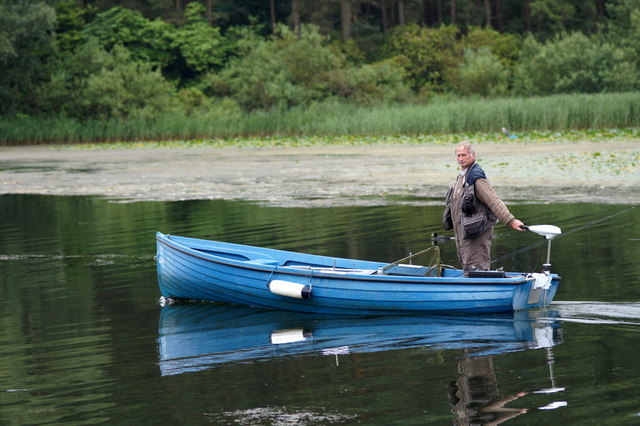
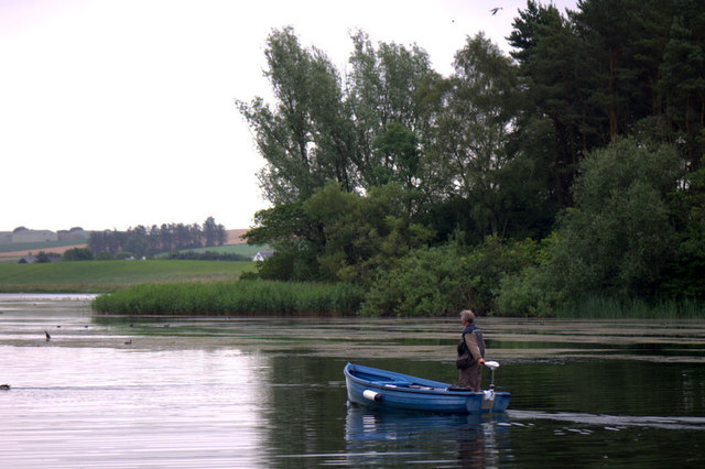
Turin Hill Images
Images are sourced within 2km of 56.671021/-2.7939562 or Grid Reference NO5153. Thanks to Geograph Open Source API. All images are credited.
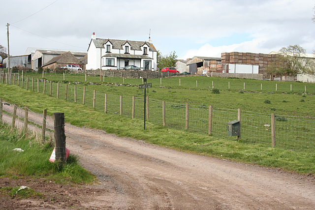
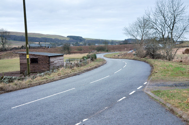
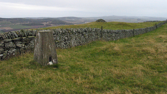
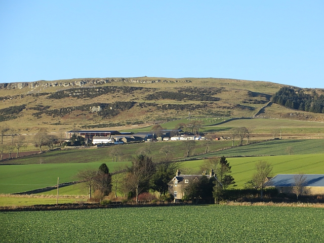
Turin Hill is located at Grid Ref: NO5153 (Lat: 56.671021, Lng: -2.7939562)
Unitary Authority: Angus
Police Authority: Tayside
What 3 Words
///defends.punters.chills. Near Letham, Angus
Nearby Locations
Related Wikis

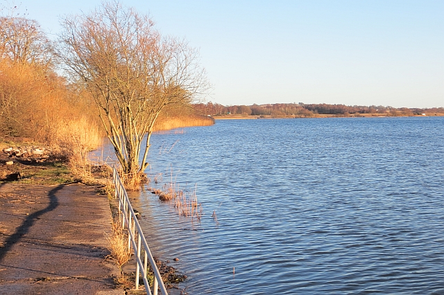
Rescobie Loch
Rescobie Loch is a post glacial fresh water body located in the parish of Rescobie, 4 km (2.5 mi) to the East of Forfar, in the county of Angus, Scotland...

Aberlemno Sculptured Stones
The Aberlemno Sculptured Stones are a series of Pictish standing stones originating in and around the village of Aberlemno, Angus, Scotland. Three are...

Aberlemno
Aberlemno (Scottish Gaelic: Obar Leamhnach, IPA:[ˈopəɾˈʎɛunəx]) is a parish and small village in the Scottish council area of Angus. It is noted for three...

Clocksbriggs railway station
Clocksbriggs railway station served the town of Forfar, Angus, Scotland from 1848 to 1964 on the Arbroath and Forfar Railway. == History == The station...
Nearby Amenities
Located within 500m of 56.671021,-2.7939562Have you been to Turin Hill?
Leave your review of Turin Hill below (or comments, questions and feedback).