March Wood

Wood, Forest in Angus

Scotland

March Wood

Grazing near Tilliwhanland
Grazing near Tilliwhanland Credit: JThomas

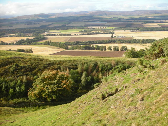
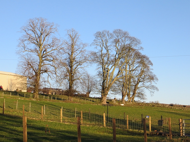
March Wood, Angus, also known as March Wood Forest, is a picturesque woodland located in the county of Angus, Scotland. Spanning over an impressive area of approximately 400 hectares, the forest is a remarkable example of the region's natural beauty.

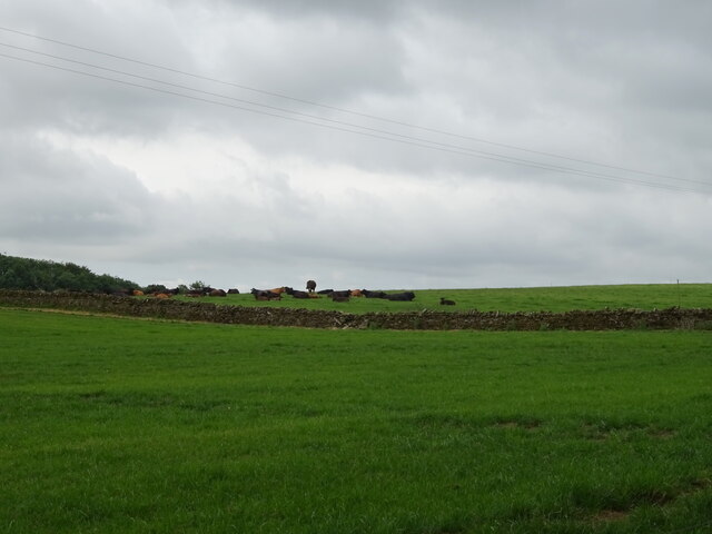
The woodland is primarily composed of native broadleaf trees, including oak, birch, and beech, creating a diverse and vibrant ecosystem. These trees provide a habitat for numerous species of wildlife, making it an important site for conservation. March Wood is home to an array of bird species such as woodpeckers, owls, and various songbirds, while mammals like red squirrels, roe deer, and foxes can also be found within its boundaries.

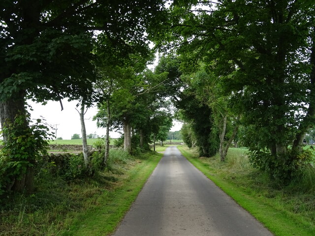
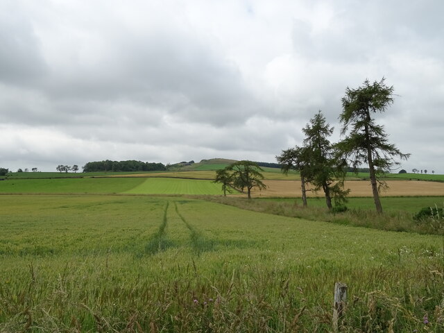
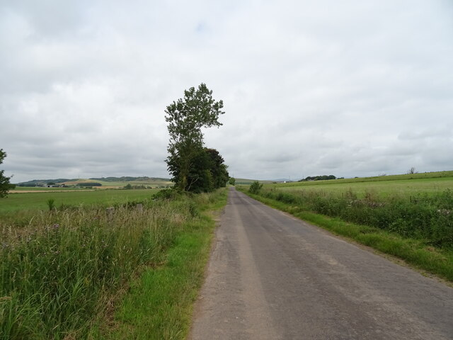
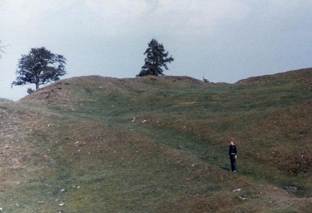
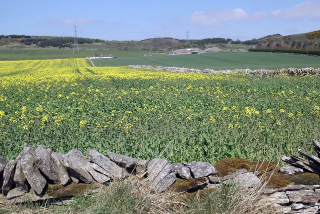
The forest offers a variety of walking trails, allowing visitors to explore its enchanting surroundings. The paths wind through a mixture of dense woodland, open glades, and small streams, providing a peaceful and tranquil environment for outdoor enthusiasts. Along the trails, there are several viewpoints that offer stunning vistas of the surrounding countryside and the nearby rolling hills.

March Wood is managed by the local forestry commission, ensuring its preservation and sustainable use. The commission actively engages in conservation efforts, maintaining the woodland's biodiversity through careful management practices and the control of invasive species.

Overall, March Wood, Angus is a captivating forest that showcases the natural beauty of the region. With its diverse wildlife, scenic trails, and commitment to conservation, it offers visitors a unique opportunity to connect with nature and experience the tranquility of a preserved woodland environment.

If you have any feedback on the listing, please let us know in the comments section below.
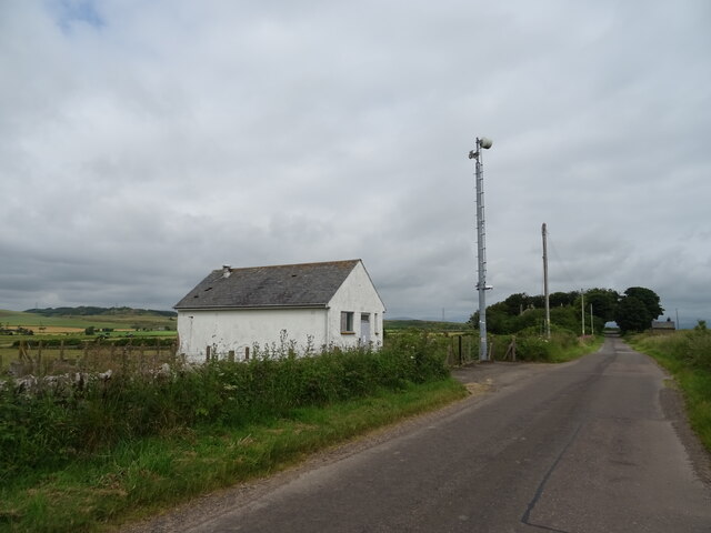
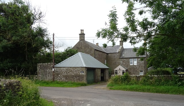
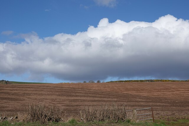
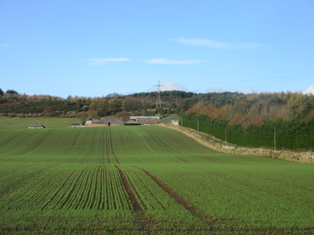
March Wood Images

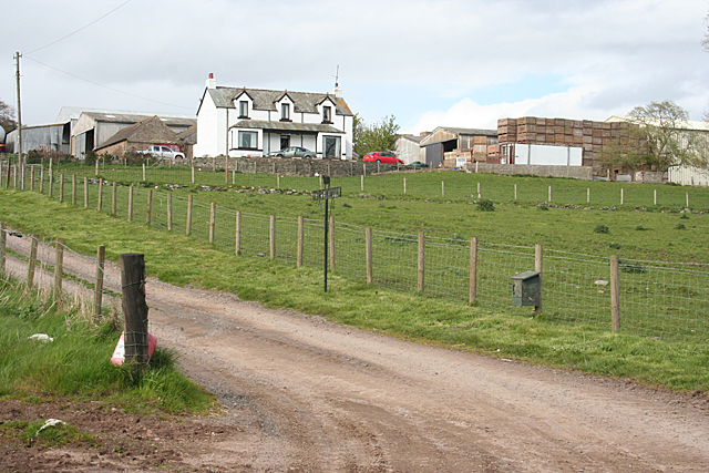
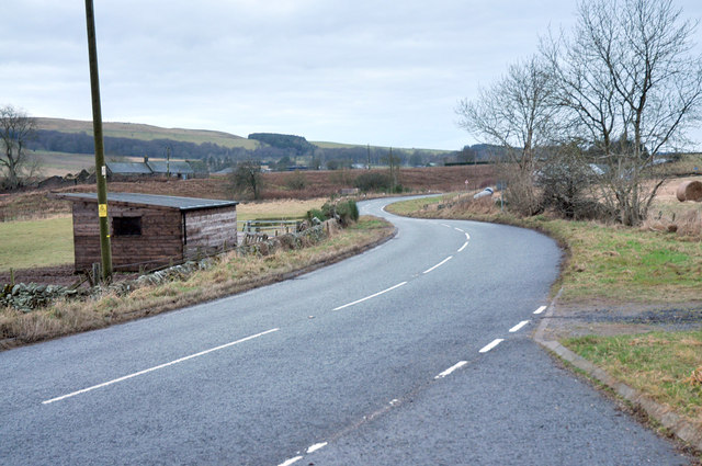
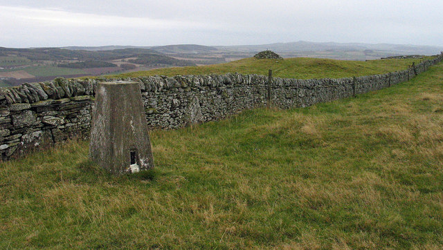
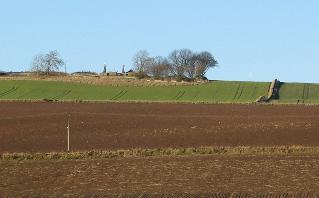
Images are sourced within 2km of 56.673345/-2.7985581 or Grid Reference NO5153. Thanks to Geograph Open Source API. All images are credited.

Grazing near Tilliwhanland
Road to Tilliwhanland Farm Nicely surfaced.
Road to Tilliwhanland Farm
Nicely surfaced.
Cereal crop beside drain near Tilliwhanland
Minor road towards Aberlemno
Telephone Exchange near Aberlemno
Mansfield House near Aberlemno.
Mansfield
House near Aberlemno.
Field near Rescobie Loch Newly ploughed and sewn field near Rescobie Loch.
Field near Rescobie Loch
Newly ploughed and sewn field near Rescobie Loch.
Carsegownie from the B9134 Looking to the farm buildings at Carsegownie from the roadside of the B9134.
Carsegownie from the B9134
Looking to the farm buildings at Carsegownie from the roadside of the B9134.
From the slopes of Hill of Finavon This view north over Strathmore is taken from the eastward extension of the Hill of Finavon.   The foothills of the Grampians can be seen beyond Strathmore.
From the slopes of Hill of Finavon
This view north over Strathmore is taken from the eastward extension of the Hill of Finavon. The foothills of the Grampians can be seen beyond Strathmore.
The fort on Finavon Hill The rocks that form the walls had been "welded" together by heat in a process of vitrification - although it is uncertain this was by accident or design
The fort on Finavon Hill
The rocks that form the walls had been "welded" together by heat in a process of vitrification - although it is uncertain this was by accident or design
View of farmland looking towards Carsegownie Farm The picture was taken looking northwards from the Forfar / Aberlemno Road (B9134).
View of farmland looking towards Carsegownie Farm
The picture was taken looking northwards from the Forfar / Aberlemno Road (B9134).
Drimmie Farm Viewed from near the parish kirk. A substantial farm on good arable land, set just up the slope from Rescobie Loch.
Drimmie Farm
Viewed from near the parish kirk. A substantial farm on good arable land, set just up the slope from Rescobie Loch.
Drimmie from the B9113 The farm house and buildings are sited a little way uphill from the B9113 which follows the north shore of Rescobie Loch.
Drimmie from the B9113
The farm house and buildings are sited a little way uphill from the B9113 which follows the north shore of Rescobie Loch.
B9134 near Aberlemno
Trig point on Turin Hill Turin Hill is the location of considerable Iron Age history; see - <span class="nowrap"><a title="http://canmore.rcahms.gov.uk/en/site/34899/details/turin+hill/" rel="nofollow ugc noopener" href="http://canmore.rcahms.gov.uk/en/site/34899/details/turin+hill/">Link</a><img style="margin-left:2px;" alt="External link" title="External link - shift click to open in new window" src="https://s1.geograph.org.uk/img/external.png" width="10" height="10"/></span>.
A dry stone wall crosses the top of the hill close to which is the trig point bearing the flush bracket, S4480.
Trig point on Turin Hill
Turin Hill is the location of considerable Iron Age history; see - LinkExternal link. A dry stone wall crosses the top of the hill close to which is the trig point bearing the flush bracket, S4480.
Turin Knaps Ruin on the slopes of Turin Hill.
Turin Knaps
Ruin on the slopes of Turin Hill.
Drimmie A clump of trees beside Drimmie
Drimmie
A clump of trees beside Drimmie
Reed bed,  Rescobie Loch
Reed bed, Rescobie Loch
Show me another place!

March Wood is located at Grid Ref: NO5153 (Lat: 56.673345, Lng: -2.7985581)

Unitary Authority: Angus

Police Authority: Tayside

What 3 Words

///builders.populate.altitude. Near Letham, Angus

Related Wikis

Rescobie Loch

Rescobie Loch is a post glacial fresh water body located in the parish of Rescobie, 4 km (2.5 mi) to the East of Forfar, in the county of Angus, Scotland...

Aberlemno Sculptured Stones

The Aberlemno Sculptured Stones are a series of Pictish standing stones originating in and around the village of Aberlemno, Angus, Scotland. Three are...

Aberlemno

Aberlemno (Scottish Gaelic: Obar Leamhnach, IPA:[ˈopəɾˈʎɛunəx]) is a parish and small village in the Scottish council area of Angus. It is noted for three...

Clocksbriggs railway station

Clocksbriggs railway station served the town of Forfar, Angus, Scotland from 1848 to 1964 on the Arbroath and Forfar Railway. == History == The station...

Nearby Amenities

Located within 500m of 56.673345,-2.7985581
Turin Hill
Corbett: no
Ele: 214
Graham: no
Marilyn: yes
Munro: no
Natural: peak
Prominence: 179
Lat/Long: 56.671037/-2.7934053
Man Made: survey_point
Lat/Long: 56.6711953/-2.7933878
Ele: 216
Natural: peak
Lat/Long: 56.6707649/-2.8006108
The data included in this document is from www.openstreetmap.org. The data is made available under ODbL.

Have you been to March Wood?

Leave your review of March Wood below (or comments, questions and feedback).