Common Cleuch

Valley in Roxburghshire

Scotland

Common Cleuch

Hermitage Castle
Hermitage Castle Credit: Kevin Waterhouse

Common Cleuch is a picturesque valley located in the region of Roxburghshire, Scotland. Situated amidst the rolling hills of the Scottish Borders, this tranquil valley offers breathtaking natural beauty and a sense of serenity to all who visit.

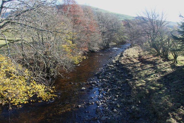
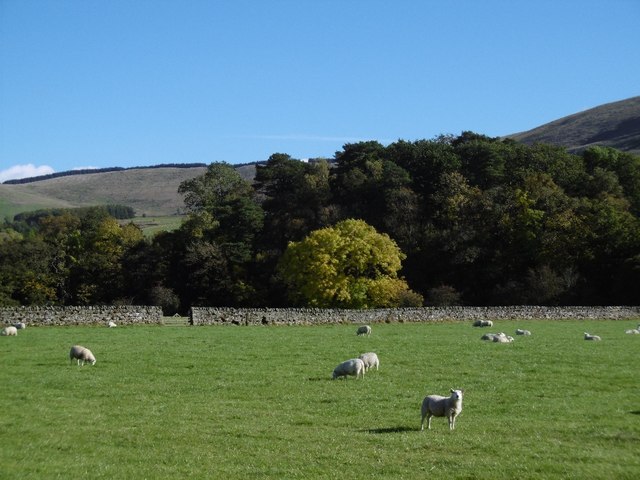
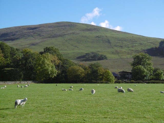
The Cleuch, derived from the Scots word for a narrow ravine or gully, is characterized by its lush green meadows, crystal-clear streams, and dense woodlands. The valley is a haven for wildlife enthusiasts, as it is home to a diverse range of flora and fauna. Visitors can spot various bird species, including pheasants and owls, as well as mammals such as deer and badgers.

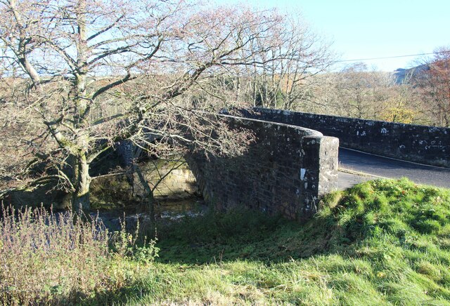
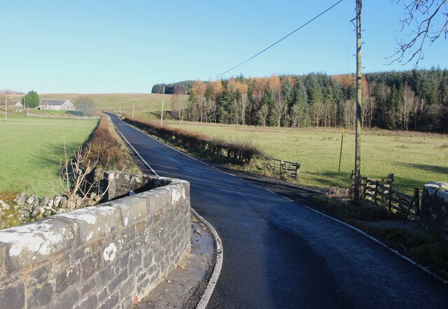
The landscape of Common Cleuch is dotted with charming countryside cottages and traditional farmhouses, adding to its rustic charm. The area is popular among hikers and nature lovers, who can explore the valley's numerous walking trails and enjoy panoramic views of the surrounding countryside. The nearby hills provide opportunities for more adventurous activities such as mountain biking and horseback riding.

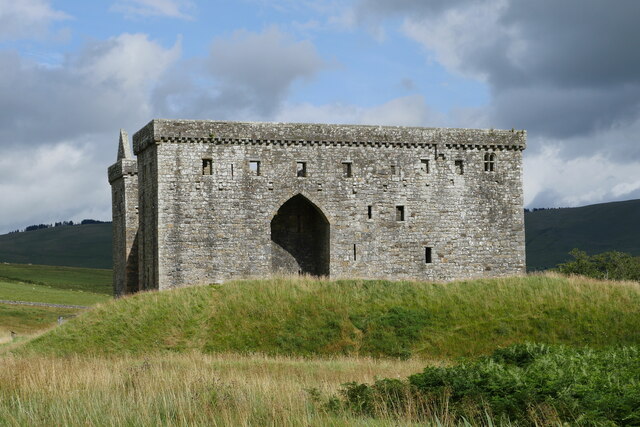
Common Cleuch is also steeped in history, with traces of ancient settlements and archaeological sites scattered throughout the valley. The remnants of old stone walls and ruined buildings serve as reminders of the area's rich cultural heritage.

Overall, Common Cleuch offers a tranquil retreat for those seeking to escape the hustle and bustle of modern life. Its natural beauty, diverse wildlife, and historical significance make it a must-visit destination for nature enthusiasts and history buffs alike.

If you have any feedback on the listing, please let us know in the comments section below.

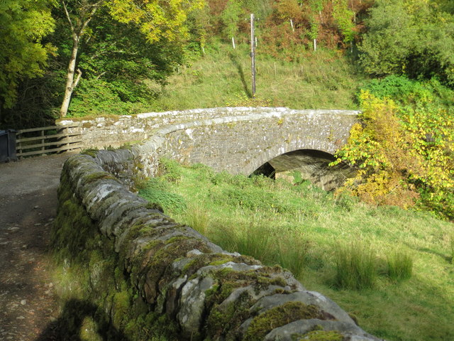
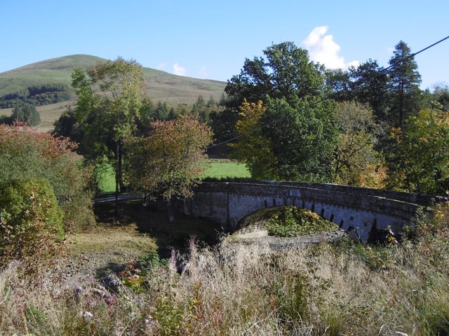
Common Cleuch Images

Images are sourced within 2km of 55.249605/-2.771065 or Grid Reference NY5195. Thanks to Geograph Open Source API. All images are credited.

Hermitage Castle
Hermitage Castle
Hermitage Castle under a threatening sky This view of Hermitage Castle captures the building under a threatening August sky.  Unfortunately, due to ongoing surveying, Heras fencing has been erected around parts of the structure.

This photograph was taken during the Coronavirus (COVID-19) pandemic of 2020/21/22.
Hermitage Castle under a threatening sky
This view of Hermitage Castle captures the building under a threatening August sky. Unfortunately, due to ongoing surveying, Heras fencing has been erected around parts of the structure. This photograph was taken during the Coronavirus (COVID-19) pandemic of 2020/21/22.
A bridge over the Whitrope Burn north of Hermitage The bridge carries the B6399 over the Whitrope Burn near Hermitage.

This photograph was taken during the Coronavirus (COVID-19) pandemic of 2020/21/22.
A bridge over the Whitrope Burn north of Hermitage
The bridge carries the B6399 over the Whitrope Burn near Hermitage. This photograph was taken during the Coronavirus (COVID-19) pandemic of 2020/21/22.
Road bridge over Hermitage Water
Hermitage Water From the B6399 bridge.
Hermitage Water
From the B6399 bridge.
On the B6399 at Hermitage Water
Ordnance Survey Flush Bracket 1434 This can be found on the wall of a building at Hermitage.
For more detail see : <span class="nowrap"><a title="http://www.bench-marks.org.uk/bm1557" rel="nofollow ugc noopener" href="http://www.bench-marks.org.uk/bm1557">Link</a><img style="margin-left:2px;" alt="External link" title="External link - shift click to open in new window" src="https://s1.geograph.org.uk/img/external.png" width="10" height="10"/></span>
Ordnance Survey Flush Bracket 1434
This can be found on the wall of a building at Hermitage. For more detail see : LinkExternal link
Bridge over Whitrope Burn at Hermitage Looking north-eastward from the farm track to the B6399 road.
Bridge over Whitrope Burn at Hermitage
Looking north-eastward from the farm track to the B6399 road.
Ordnance Survey Flush Bracket S1433 This can be found on the wall of a cottage - private dwelling - at Netherraw.
For more detail see : <span class="nowrap"><a title="http://www.bench-marks.org.uk/bm1556" rel="nofollow ugc noopener" href="http://www.bench-marks.org.uk/bm1556">Link</a><img style="margin-left:2px;" alt="External link" title="External link - shift click to open in new window" src="https://s1.geograph.org.uk/img/external.png" width="10" height="10"/></span>
Ordnance Survey Flush Bracket S1433
This can be found on the wall of a cottage - private dwelling - at Netherraw. For more detail see : LinkExternal link
Track to Nether Row Plantation Looking north-westward from Netherraw Cottage.
Track to Nether Row Plantation
Looking north-westward from Netherraw Cottage.
Thorntree, Netheraw Field above the B6399.
Thorntree, Netheraw
Field above the B6399.
Netherrow Plantation A garage at the southern tip of the woodland.
Netherrow Plantation
A garage at the southern tip of the woodland.
Telephone box, Netherraw
Bridge, Newlands Crossing the Hermitage Water, south of Arnton Fell.
Bridge, Newlands
Crossing the Hermitage Water, south of Arnton Fell.
Sheep, Toftholm Haugh beside the Hermitage Water.
Sheep, Toftholm
Haugh beside the Hermitage Water.
Arnton Fell The southern end of Arnton Fell/Blackwood Hill.
Arnton Fell
The southern end of Arnton Fell/Blackwood Hill.
Hermitage road A single track road linking the A7 (Ewesdale) and B6399 (Liddesdale).
Hermitage road
A single track road linking the A7 (Ewesdale) and B6399 (Liddesdale).
Silage clamp Now disused: beside the Hermitage road
Silage clamp
Now disused: beside the Hermitage road
Show me another place!

Common Cleuch is located at Grid Ref: NY5195 (Lat: 55.249605, Lng: -2.771065)

Unitary Authority: The Scottish Borders

Police Authority: The Lothians and Scottish Borders

What 3 Words

///fond.crunchy.thus. Near Teviothead, Scottish Borders

Nearby Locations

Common Cleuch

Related Wikis

Nearby Amenities

Located within 500m of 55.249605,-2.771065
Bus Stop
Castle Road Junction
Bus: yes
Naptan AtcoCode: 69001497
Naptan Bearing: N
Naptan CommonName: Castle Rd Jct
Naptan Indicator: opp
Naptan Landmark: Bridge
Naptan NaptanCode: 72725874
Naptan Street: B6399
Operator: Scottish Borders Council
Public Transport: platform
Ref: 69001497
Source: NaPTAN
Lat/Long: 55.2485164/-2.7764218
Bus Stop
Castle Road Junction
Bus: yes
Naptan AtcoCode: 69001498
Naptan Bearing: S
Naptan CommonName: Castle Rd Jct
Naptan Indicator: opp
Naptan Landmark: Bridge
Naptan NaptanCode: 72725876
Naptan Street: B6399
Operator: Scottish Borders Council
Public Transport: platform
Ref: 69001498
Source: NaPTAN
Lat/Long: 55.2484691/-2.7762062
Shaws
Place: hamlet
Lat/Long: 55.2455541/-2.7708193
Hermitage
Place: locality
Lat/Long: 55.2485139/-2.7765629
Bench
Lat/Long: 55.2486531/-2.7764542
Advertising: board
Lat/Long: 55.2486517/-2.7769166
Community Centre
Hermitage Village Hall
Community Centre: village_hall
Lat/Long: 55.2485605/-2.7768357
Power: pole
Lat/Long: 55.2483728/-2.778098
Power: pole
Lat/Long: 55.2492006/-2.7778469
Power: pole
Lat/Long: 55.2499947/-2.7776409
Power: pole
Lat/Long: 55.2508136/-2.7774143
Power: pole
Lat/Long: 55.2517581/-2.7773538
Power: pole
Lat/Long: 55.2522116/-2.7773126
Power: pole
Lat/Long: 55.2510573/-2.7777542
Power: pole
Lat/Long: 55.2508195/-2.7769766
Power: pole
Lat/Long: 55.2508224/-2.776459
Power: pole
Lat/Long: 55.2500842/-2.7764513
Power: pole
Lat/Long: 55.2495617/-2.7764796
Power: pole
Lat/Long: 55.2490641/-2.7764796
Power: pole
Lat/Long: 55.2485049/-2.776477
Power: pole
Lat/Long: 55.251408/-2.7782615
Power: pole
Lat/Long: 55.2464331/-2.7765118
Power: pole
Lat/Long: 55.2461572/-2.775469
Power: pole
Lat/Long: 55.2460412/-2.7749668
Power: pole
Lat/Long: 55.2457726/-2.7739034
Power: pole
Lat/Long: 55.2454915/-2.7728193
Power: pole
Lat/Long: 55.2453682/-2.7723417
Power: pole
Lat/Long: 55.2452911/-2.7722117
The data included in this document is from www.openstreetmap.org. The data is made available under ODbL.

Have you been to Common Cleuch?

Leave your review of Common Cleuch below (or comments, questions and feedback).