Mungeon Bottom
Valley in Lancashire South Lakeland
England
Mungeon Bottom
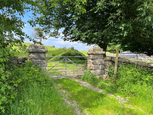
Mungeon Bottom is a picturesque valley located in Lancashire, England. Nestled amidst the rolling hills and lush greenery, this serene and idyllic destination offers visitors a glimpse into the region's natural beauty and rich history.
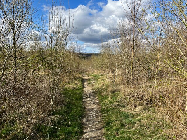
The valley is characterized by its meandering river, which flows through the heart of Mungeon Bottom, providing a peaceful ambiance and a haven for wildlife. The river is flanked by dense woodlands, creating a stunning backdrop and offering ample opportunities for hiking, birdwatching, and nature exploration.
Mungeon Bottom is also home to several charming villages and hamlets, each with its own unique character and architectural heritage. These settlements showcase traditional Lancashire stone houses and quaint cottages, adding to the charm and authenticity of the area.
The valley is steeped in history, with several historical landmarks and sites of interest. One such landmark is the Mungeon Bottom Castle, a medieval fortress that stands prominently on a hill overlooking the valley. The castle's ruins provide a glimpse into the region's turbulent past and offer visitors a chance to step back in time.
In addition to its natural beauty and historical significance, Mungeon Bottom also boasts a thriving local community. The valley is dotted with cozy tearooms, traditional pubs, and small shops, where visitors can sample local delicacies, purchase handmade crafts, or simply soak up the friendly atmosphere.
Overall, Mungeon Bottom is a hidden gem in Lancashire, offering visitors a perfect blend of stunning landscapes, rich history, and warm hospitality. Whether exploring the woodlands, discovering the local heritage, or simply unwinding in the tranquil surroundings, this valley has something to offer everyone.
If you have any feedback on the listing, please let us know in the comments section below.
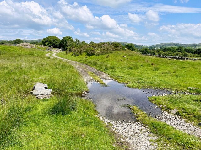
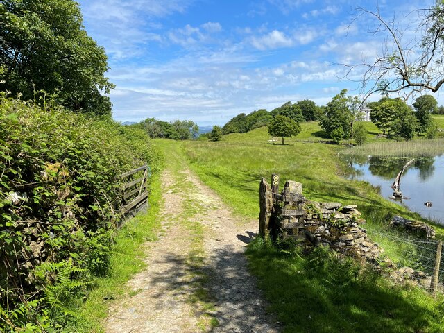
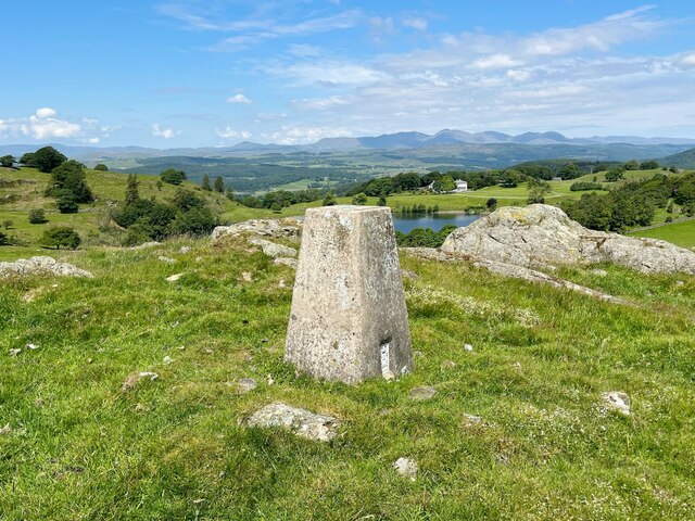
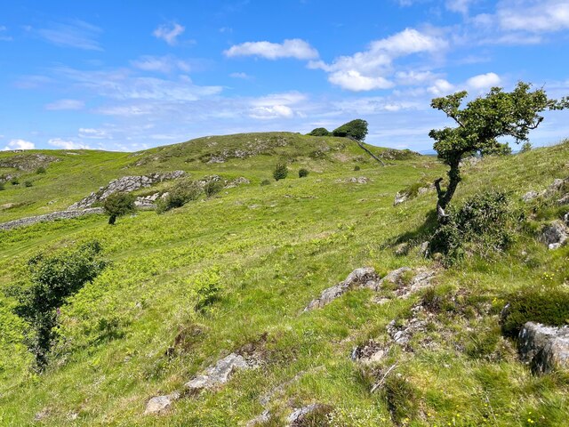
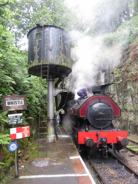
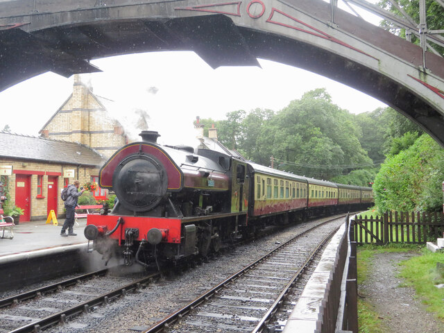
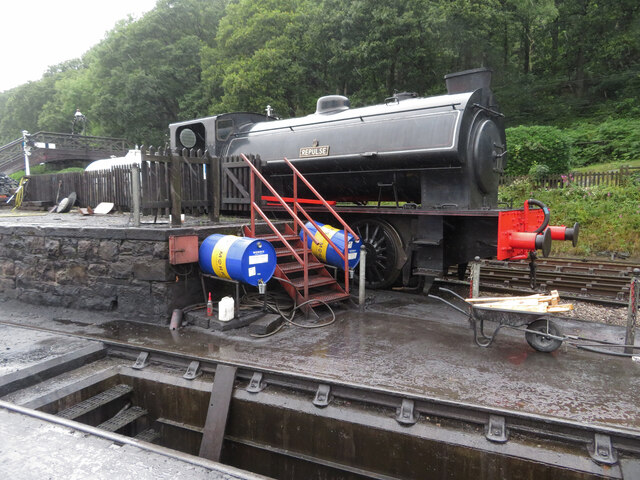
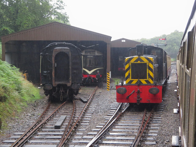
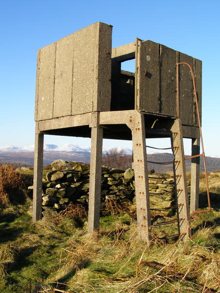
Mungeon Bottom Images
Images are sourced within 2km of 54.23928/-2.9770269 or Grid Reference SD3683. Thanks to Geograph Open Source API. All images are credited.


Mungeon Bottom is located at Grid Ref: SD3683 (Lat: 54.23928, Lng: -2.9770269)
Administrative County: Cumbria
District: South Lakeland
Police Authority: Cumbria
What 3 Words
///caressed.foggy.taxpayers. Near Grange-over-Sands, Cumbria
Related Wikis
Bigland Barrow
Bigland Barrow is a hill in the English Lake District, near Backbarrow, Cumbria. It is the subject of a chapter of Wainwright's book The Outlying Fells...

Bigland Tarn
Bigland Tarn is a lake in Cumbria, England, about 3/4 mile southeast of Haverthwaite. Located at an elevation of 158 m (518 ft), the lake has an area of...
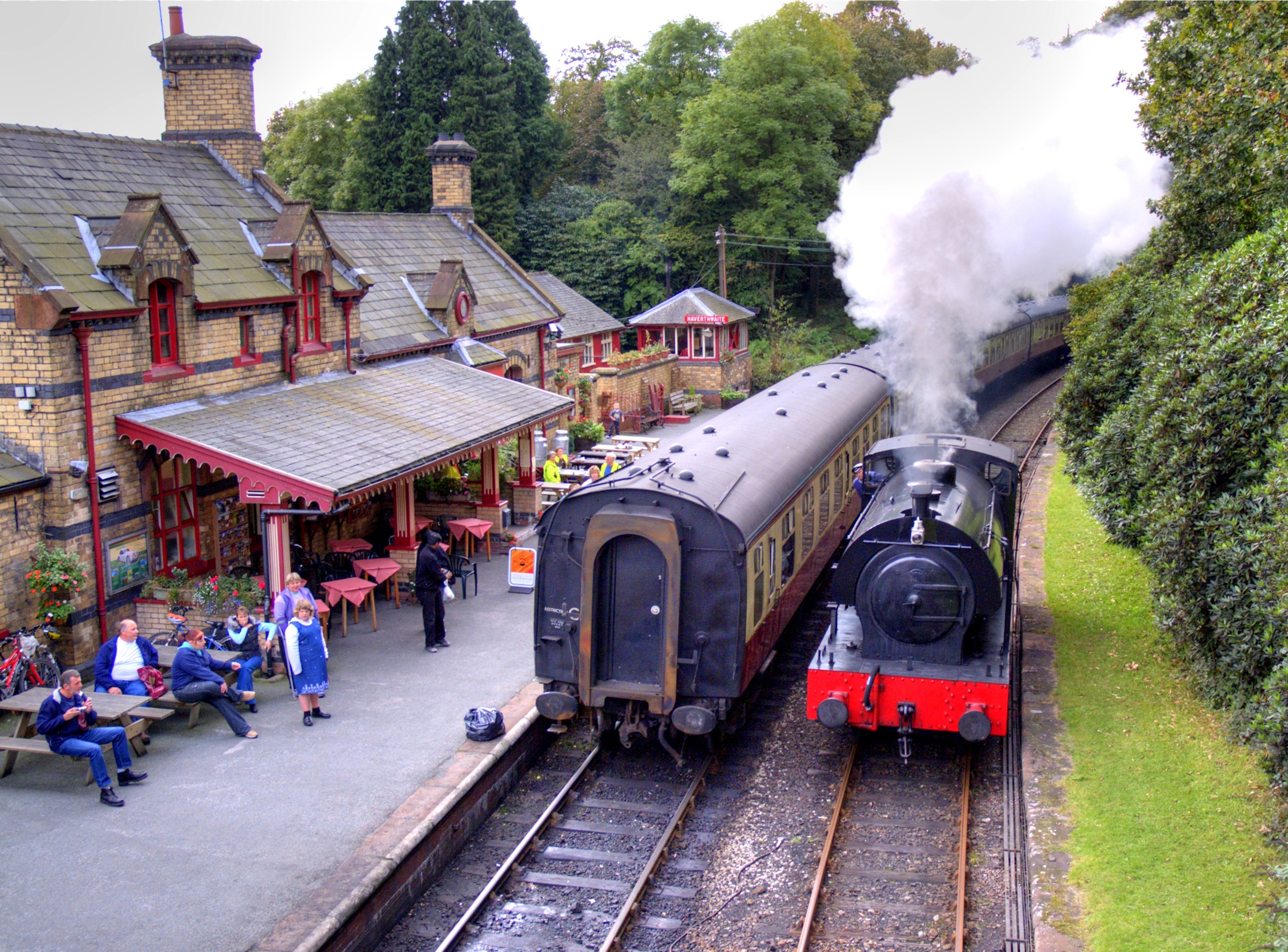
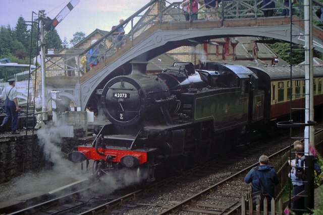
Haverthwaite railway station
Haverthwaite railway station is a railway station on the preserved Lakeside and Haverthwaite Railway in Cumbria, England. == History == The station opened...

Haverthwaite
Haverthwaite is a small village and civil parish in the Furness region of Cumbria, England. It is also within the boundaries of the Lake District National...
Nearby Amenities
Located within 500m of 54.23928,-2.9770269Have you been to Mungeon Bottom?
Leave your review of Mungeon Bottom below (or comments, questions and feedback).