Bigland Barrow
Hill, Mountain in Lancashire South Lakeland
England
Bigland Barrow

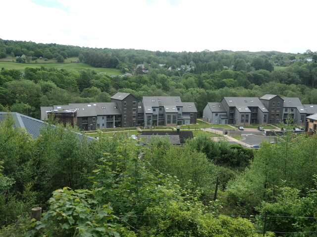
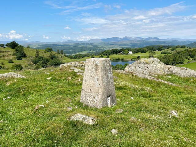
Bigland Barrow is a prominent hill located in the county of Lancashire, England. Situated in the southern part of the county, it forms part of the scenic landscape of the Lake District National Park. Rising to an elevation of approximately 244 meters (800 feet), it is classified as a hill rather than a mountain.
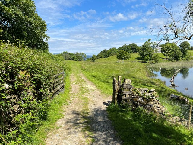
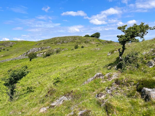
Bigland Barrow offers visitors breathtaking panoramic views of the surrounding countryside, including the nearby Coniston Water and the famous Lake Windermere. The barrow is known for its lush greenery, with rolling hills and meadows stretching as far as the eye can see. The hill is covered in thick vegetation, predominantly consisting of grasses, heather, and various wildflowers, creating a picturesque setting.
The area around Bigland Barrow is popular for outdoor activities such as hiking and walking. Numerous trails and footpaths crisscross the hillside, allowing visitors to explore the surrounding countryside and take in the stunning vistas. The hill is also home to an abundance of wildlife, including birds, rabbits, and occasional deer, providing nature enthusiasts with ample opportunities for observation and photography.
Additionally, Bigland Barrow is steeped in history, with evidence of prehistoric settlements and ancient burial mounds found in the vicinity. Its historical significance adds to the allure of the area, attracting both history buffs and nature lovers alike.
In conclusion, Bigland Barrow in Lancashire is a captivating hill that offers visitors stunning views, abundant wildlife, and a rich historical background. It serves as a popular destination for outdoor enthusiasts and those seeking a peaceful retreat in the heart of the English countryside.
If you have any feedback on the listing, please let us know in the comments section below.
Bigland Barrow Images
Images are sourced within 2km of 54.247657/-2.978023 or Grid Reference SD3683. Thanks to Geograph Open Source API. All images are credited.


Bigland Barrow is located at Grid Ref: SD3683 (Lat: 54.247657, Lng: -2.978023)
Administrative County: Cumbria
District: South Lakeland
Police Authority: Cumbria
What 3 Words
///expecting.shameless.stretch. Near Grange-over-Sands, Cumbria
Related Wikis
Bigland Barrow
Bigland Barrow is a hill in the English Lake District, near Backbarrow, Cumbria. It is the subject of a chapter of Wainwright's book The Outlying Fells...

Backbarrow
Backbarrow is a village in the Lake District National Park in England. It lies on the River Leven about 5 miles (8 km) northeast of Ulverston in Furness...
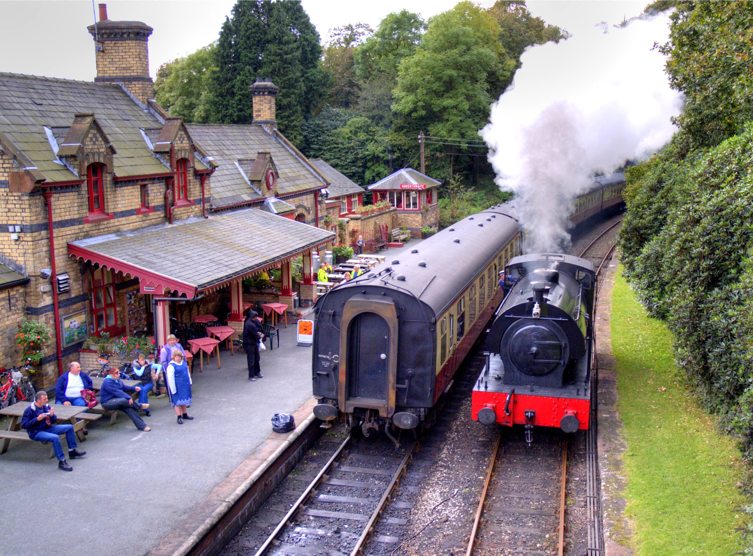
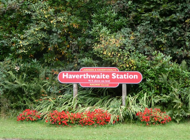
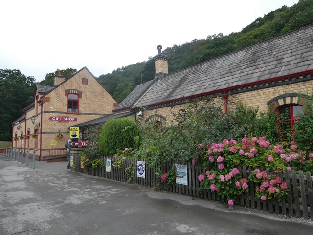
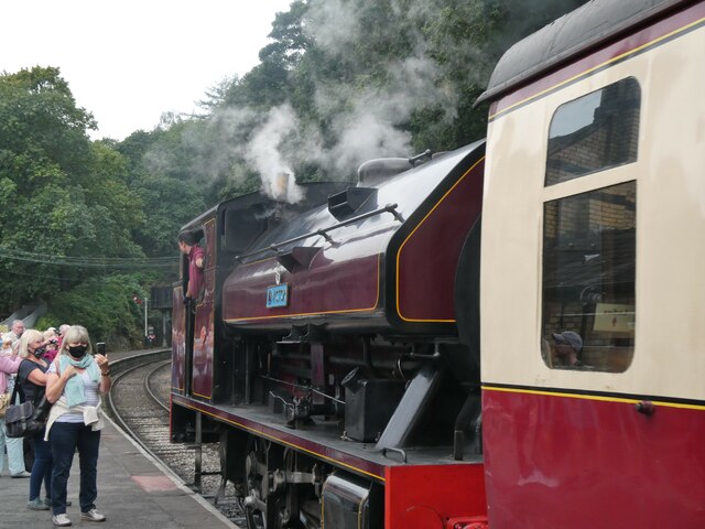
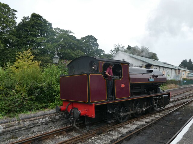
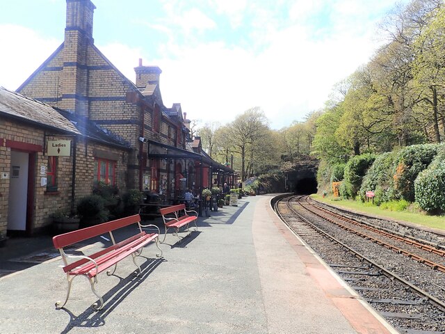
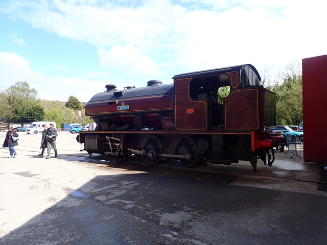
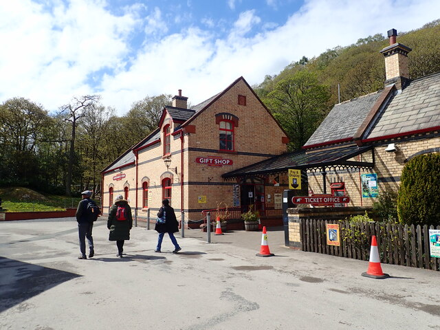
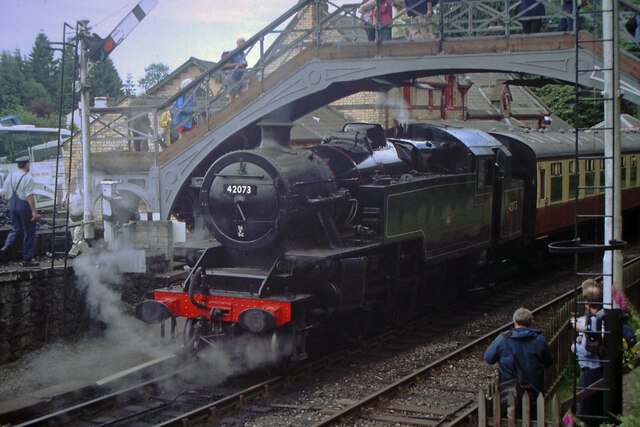
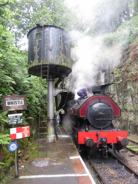
Haverthwaite railway station
Haverthwaite railway station is a railway station on the preserved Lakeside and Haverthwaite Railway in Cumbria, England. == History == The station opened...

Bigland Tarn
Bigland Tarn is a lake in Cumbria, England, about 3/4 mile southeast of Haverthwaite. Located at an elevation of 158 m (518 ft), the lake has an area of...
Nearby Amenities
Located within 500m of 54.247657,-2.978023Have you been to Bigland Barrow?
Leave your review of Bigland Barrow below (or comments, questions and feedback).