Back Reddings Wood
Wood, Forest in Lancashire South Lakeland
England
Back Reddings Wood
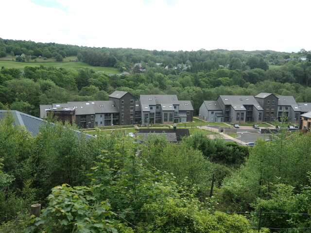
Black Reddings Wood is a picturesque forest located in the county of Lancashire, England. It covers an extensive area of land, providing a lush and diverse habitat for a wide range of flora and fauna. The wood is situated in a rural setting, surrounded by rolling hills and fields, offering visitors a peaceful and tranquil experience.
The forest is predominantly made up of deciduous trees, including oak, birch, and beech, which create a captivating canopy overhead. These trees provide shelter and sustenance for a variety of bird species, making it a popular spot for birdwatching enthusiasts. Visitors may catch a glimpse of species such as the great spotted woodpecker, nuthatch, and long-tailed tit.
Black Reddings Wood also boasts a rich diversity of plant life, with an array of wildflowers, ferns, and mosses carpeting the forest floor. In spring, the woodland comes alive with vibrant bluebells, creating a stunning display of color. The forest is also home to a range of fungi, which thrive in the damp and shaded conditions.
For those seeking outdoor activities, Black Reddings Wood offers several walking trails and paths, allowing visitors to explore the natural beauty at their own pace. The forest is well-maintained, with clear signage and markers, making it easy for visitors to navigate.
Overall, Black Reddings Wood is a hidden gem in Lancashire, offering an enchanting escape to nature for all who visit. Its diverse ecosystem, scenic surroundings, and well-maintained trails make it a must-visit destination for nature lovers and outdoor enthusiasts alike.
If you have any feedback on the listing, please let us know in the comments section below.
Back Reddings Wood Images
Images are sourced within 2km of 54.242537/-2.9809863 or Grid Reference SD3683. Thanks to Geograph Open Source API. All images are credited.


Back Reddings Wood is located at Grid Ref: SD3683 (Lat: 54.242537, Lng: -2.9809863)
Administrative County: Cumbria
District: South Lakeland
Police Authority: Cumbria
What 3 Words
///rules.test.rooster. Near Grange-over-Sands, Cumbria
Related Wikis
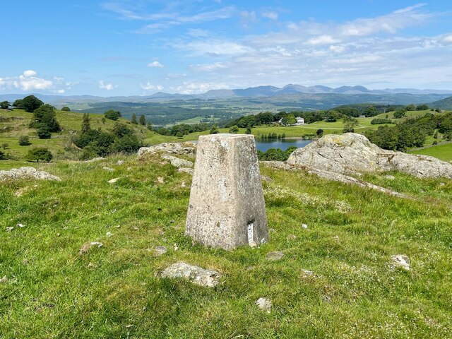
Bigland Barrow
Bigland Barrow is a hill in the English Lake District, near Backbarrow, Cumbria. It is the subject of a chapter of Wainwright's book The Outlying Fells...

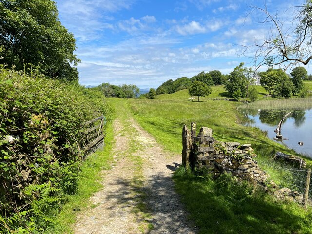
Bigland Tarn
Bigland Tarn is a lake in Cumbria, England, about 3/4 mile southeast of Haverthwaite. Located at an elevation of 158 m (518 ft), the lake has an area of...
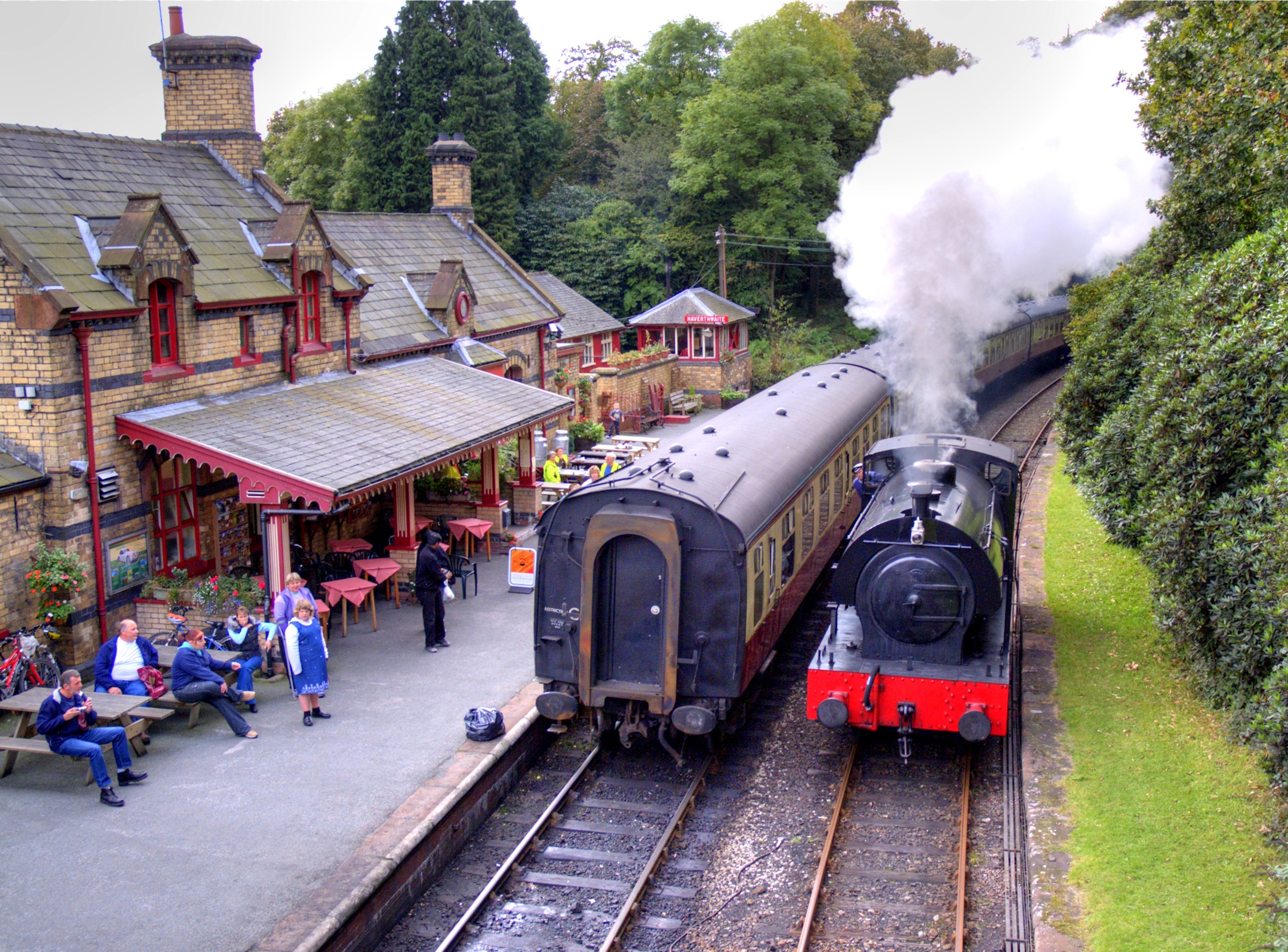
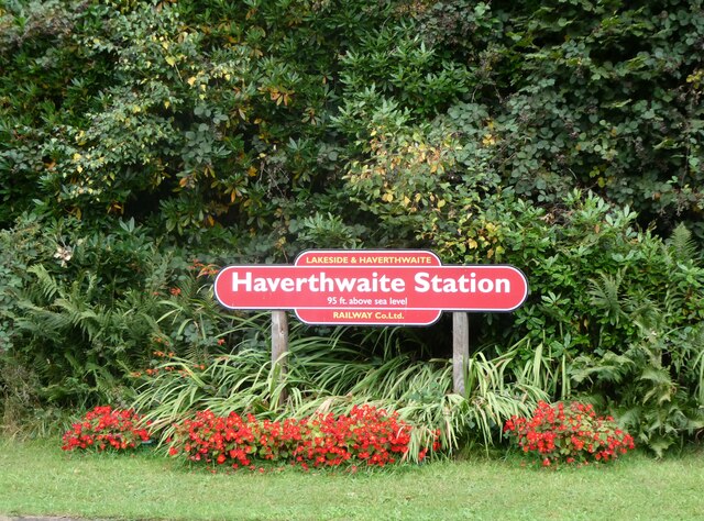
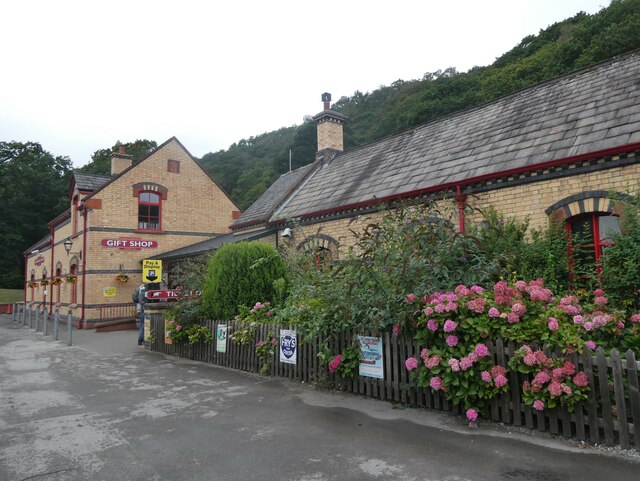
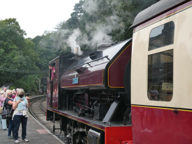
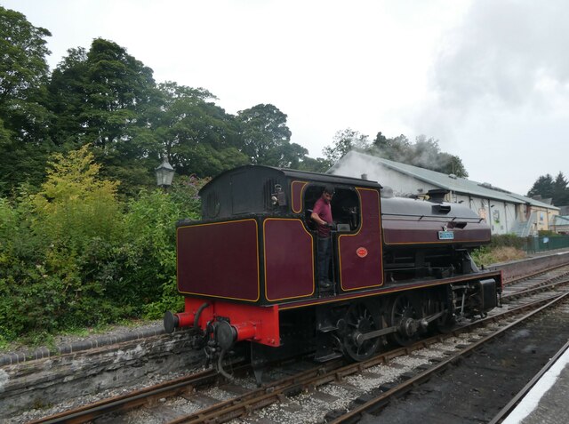
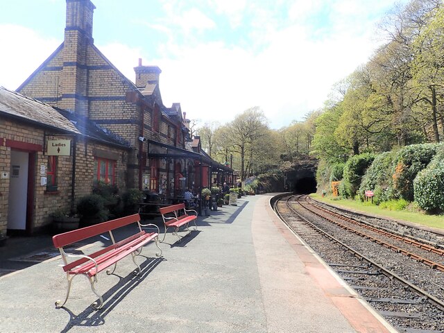
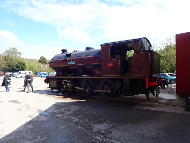
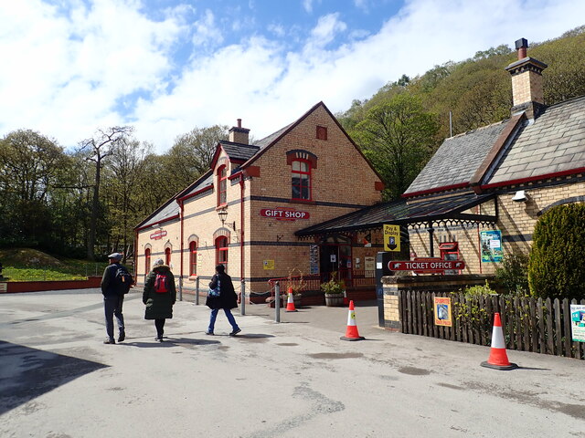
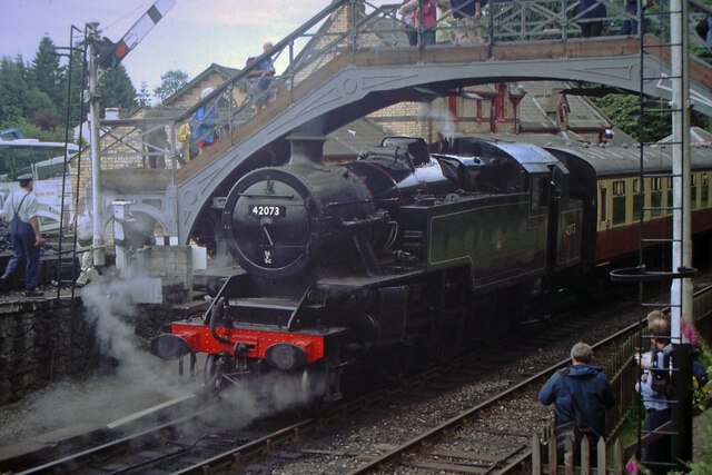
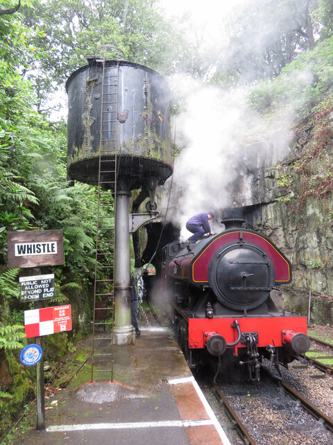
Haverthwaite railway station
Haverthwaite railway station is a railway station on the preserved Lakeside and Haverthwaite Railway in Cumbria, England. == History == The station opened...

Haverthwaite
Haverthwaite is a small village and civil parish in the Furness region of Cumbria, England. It is also within the boundaries of the Lake District National...
Nearby Amenities
Located within 500m of 54.242537,-2.9809863Have you been to Back Reddings Wood?
Leave your review of Back Reddings Wood below (or comments, questions and feedback).