Back Reddings Allotment
Downs, Moorland in Lancashire South Lakeland
England
Back Reddings Allotment
Black Reddings Allotment is a picturesque piece of land situated in Lancashire, England. Nestled amidst the stunning natural beauty of the Downs and Moorland, this allotment offers a serene and tranquil escape from the hustle and bustle of city life.
Covering an area of approximately five acres, Black Reddings Allotment is a haven for nature enthusiasts and gardening enthusiasts alike. The land is divided into small plots, each assigned to individual gardeners who tend to a variety of plants, flowers, and vegetables. The allotment is well-maintained and organized, with neat pathways and borders separating the plots.
The allotment enjoys a mild climate, thanks to its location in the Lancashire region. The fertile soil and ample sunlight make it an ideal location for growing a wide range of crops, including tomatoes, potatoes, carrots, and various herbs. Gardeners at Black Reddings Allotment take great pride in their produce, often participating in local farmers' markets and sharing their bounty with the community.
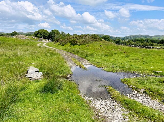
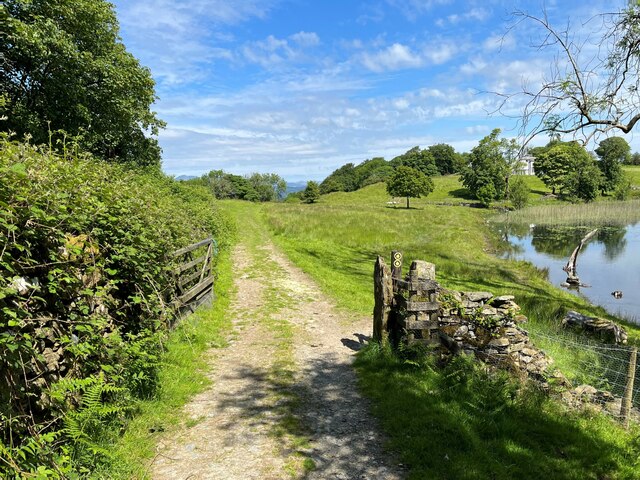
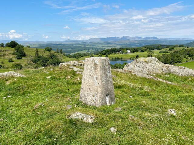
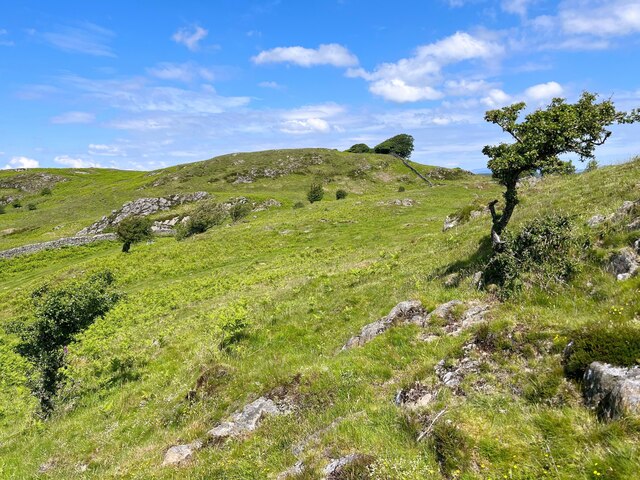
The surrounding Downs and Moorland add to the allure of the allotment. These areas are home to an array of wildlife, including rabbits, birds, and occasional deer. The picturesque views of rolling hills and vast expanses of greenery provide a serene backdrop for gardening enthusiasts to enjoy their time at Black Reddings Allotment.
In addition to its natural beauty, the allotment also offers a strong sense of community. Gardeners come together for regular meetings and events, sharing gardening tips and tricks, and fostering a sense of camaraderie. The allotment is a place where people from diverse backgrounds come together, united by their love for gardening and the desire to connect with nature.
Overall, Black Reddings Allotment in Lancashire is a stunning piece of land where nature, community, and gardening coexist harmoniously, offering a serene escape for all who visit.
If you have any feedback on the listing, please let us know in the comments section below.
Back Reddings Allotment Images
Images are sourced within 2km of 54.242787/-2.9745932 or Grid Reference SD3683. Thanks to Geograph Open Source API. All images are credited.


Back Reddings Allotment is located at Grid Ref: SD3683 (Lat: 54.242787, Lng: -2.9745932)
Administrative County: Cumbria
District: South Lakeland
Police Authority: Cumbria
What 3 Words
///pursue.public.regaining. Near Grange-over-Sands, Cumbria
Related Wikis
Bigland Barrow
Bigland Barrow is a hill in the English Lake District, near Backbarrow, Cumbria. It is the subject of a chapter of Wainwright's book The Outlying Fells...

Bigland Tarn
Bigland Tarn is a lake in Cumbria, England, about 3/4 mile southeast of Haverthwaite. Located at an elevation of 158 m (518 ft), the lake has an area of...
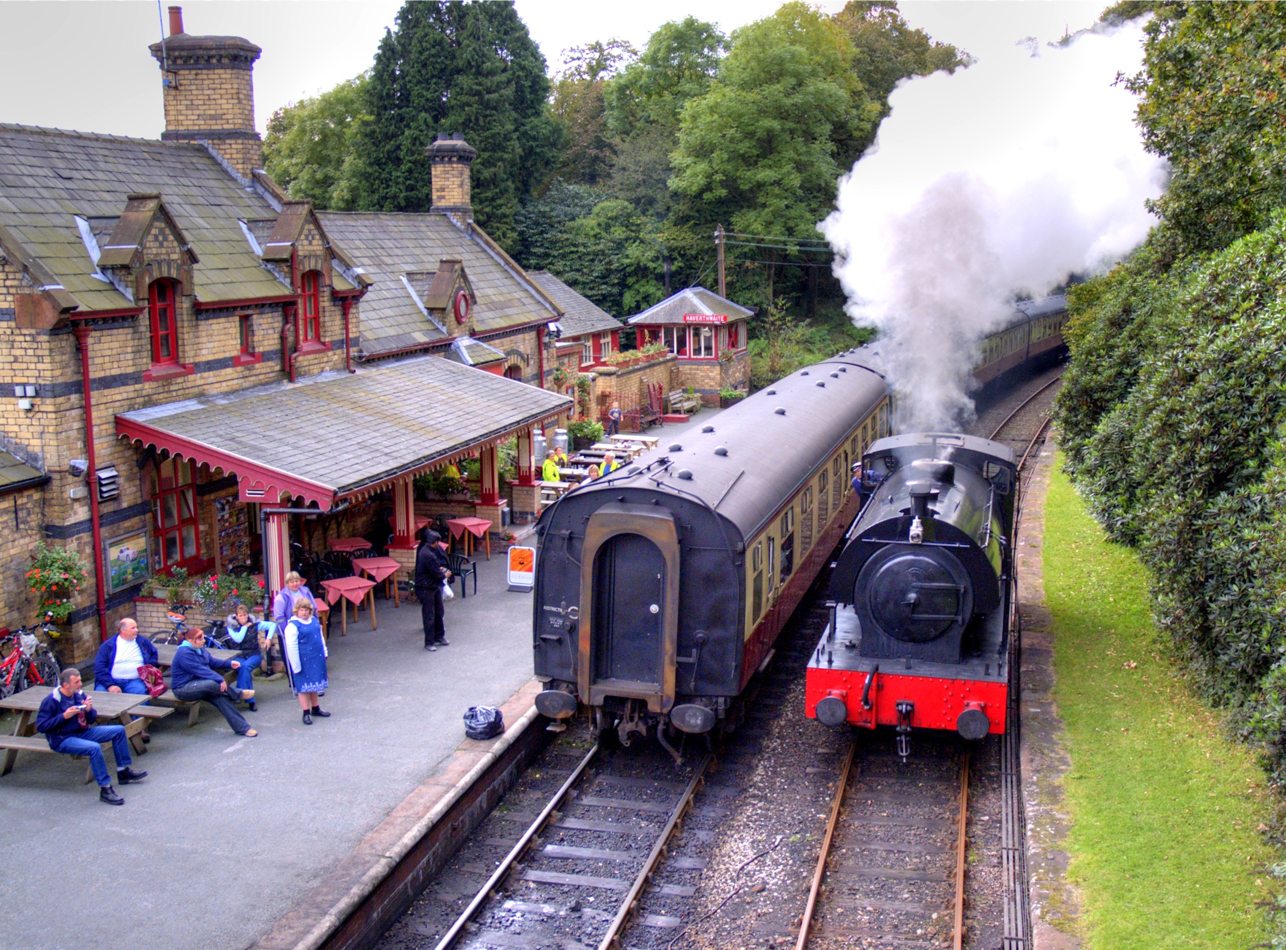
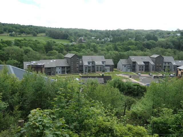
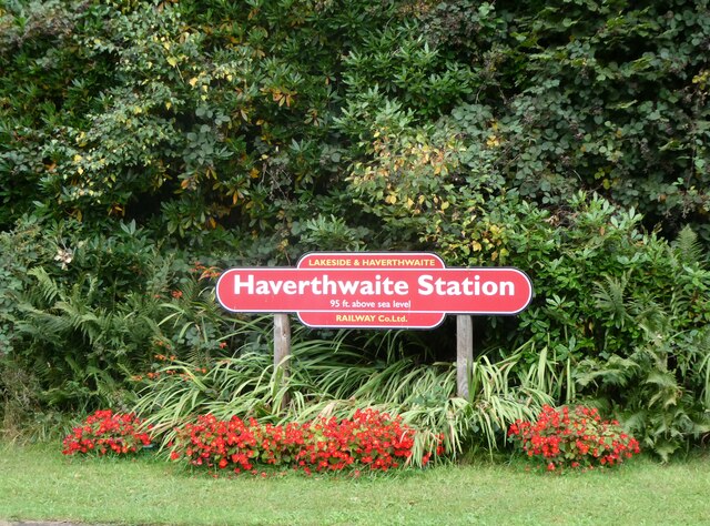
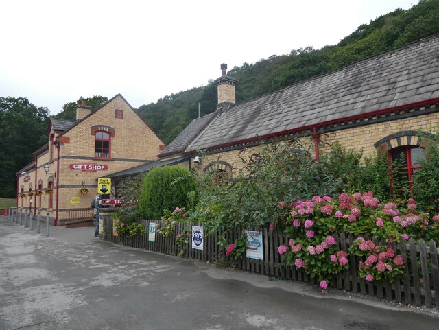
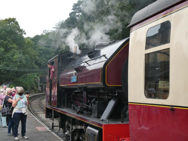
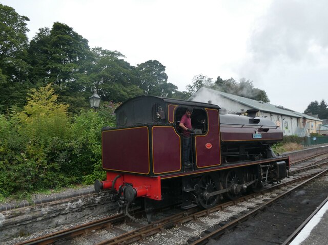
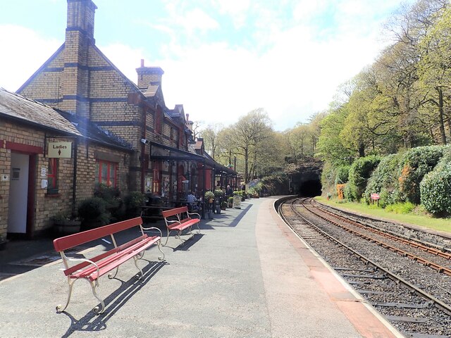
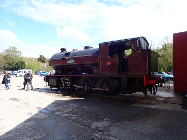
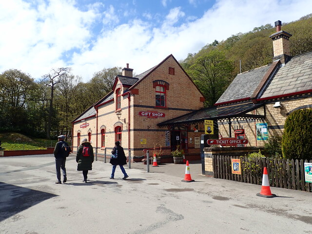
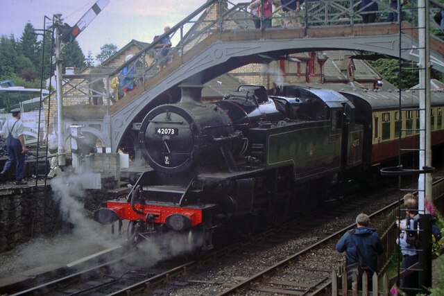
Haverthwaite railway station
Haverthwaite railway station is a railway station on the preserved Lakeside and Haverthwaite Railway in Cumbria, England. == History == The station opened...

Backbarrow
Backbarrow is a village in the Lake District National Park in England. It lies on the River Leven about 5 miles (8 km) northeast of Ulverston in Furness...

Haverthwaite
Haverthwaite is a small village and civil parish in the Furness region of Cumbria, England. It is also within the boundaries of the Lake District National...

A590 road
The A590 is a trunk road in southern Cumbria, in the north-west of England. It runs north-east to south-west from M6 junction 36, through the towns of...
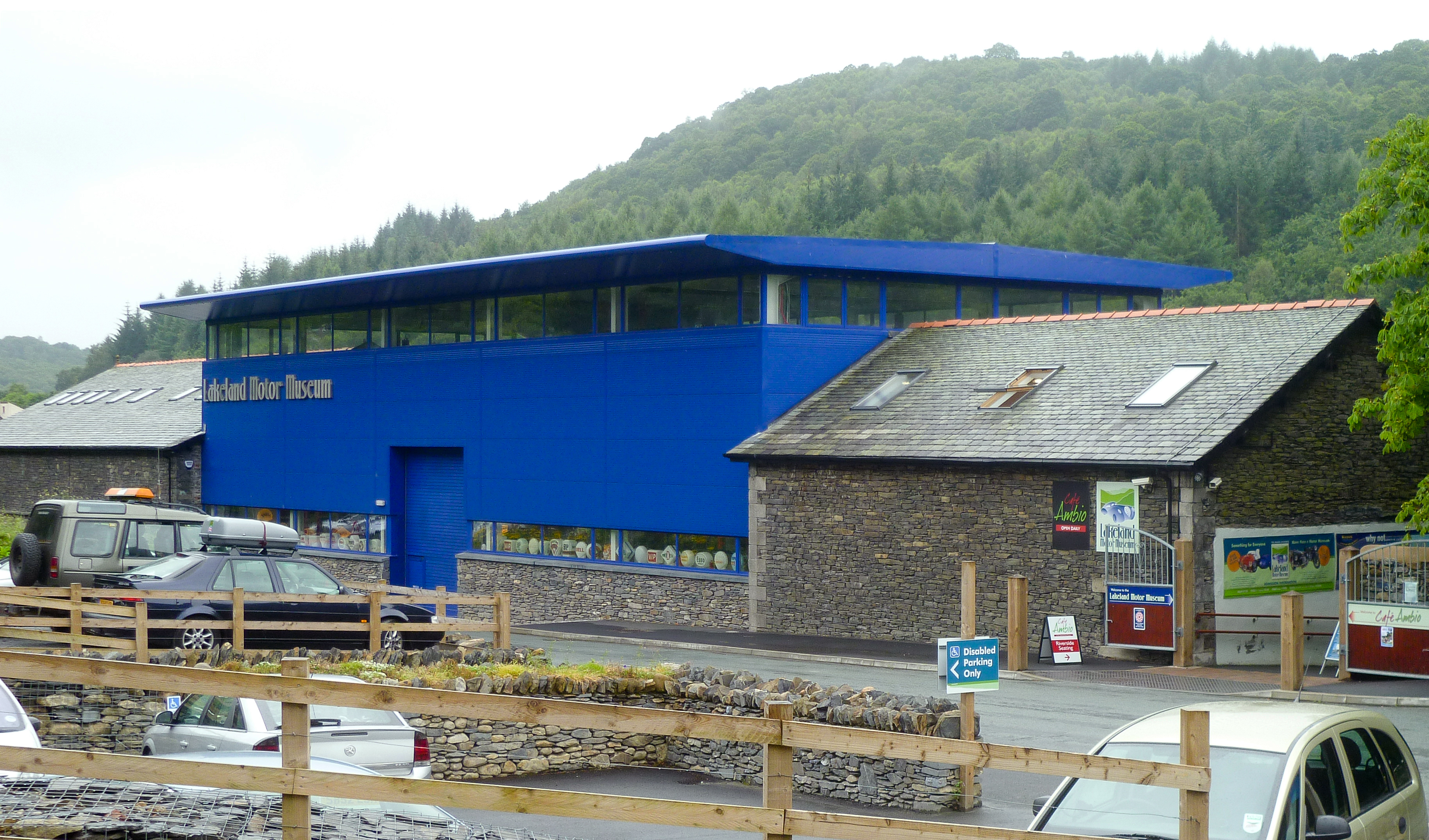
Lakeland Motor Museum
The Lakeland Motor Museum is a museum now located at Backbarrow, Cumbria, England which houses a collection of classic cars, motorcycles, bicycles, pedal...

Cartmel Peninsula
Cartmel Peninsula is a peninsula in Cumbria in England. It juts in a southerly direction into Morecambe Bay, bordered by the estuaries of the River Leven...
Nearby Amenities
Located within 500m of 54.242787,-2.9745932Have you been to Back Reddings Allotment?
Leave your review of Back Reddings Allotment below (or comments, questions and feedback).