Barrhill

Settlement in Ayrshire

Scotland

Barrhill

Farmland at Barrhill Viewed from the Community Car Park.
Farmland at Barrhill Credit: Billy McCrorie

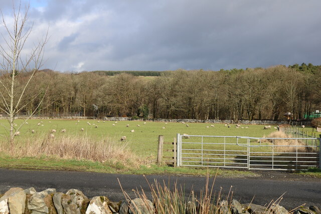
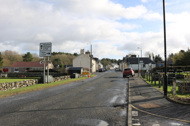
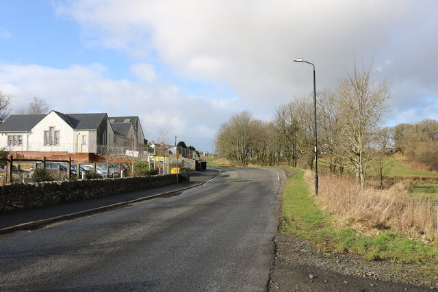
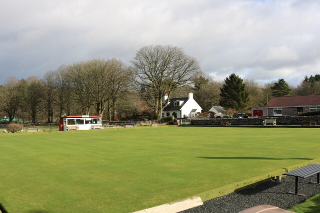
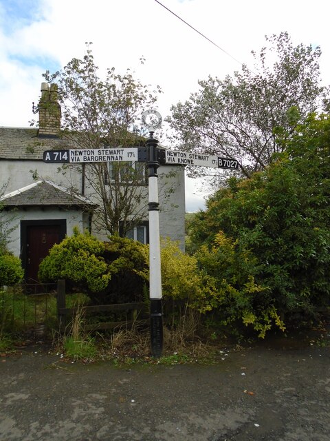
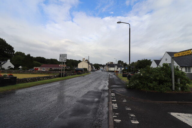
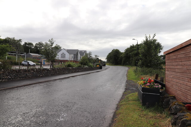
Barrhill is a small village located in the South Ayrshire region of Scotland, specifically in the southern part of the beautiful Ayrshire countryside. Situated about 14 miles south of Girvan and 16 miles north of Newton Stewart, Barrhill is nestled in a picturesque landscape, surrounded by rolling hills and lush green fields.

The village itself is home to approximately 300 residents, creating a tight-knit and friendly community atmosphere. Historically, Barrhill was a stop on the Glasgow and South Western Railway line, which played a crucial role in the village's development. Today, the railway station remains operational, providing convenient transportation links to nearby towns and cities.

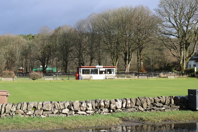
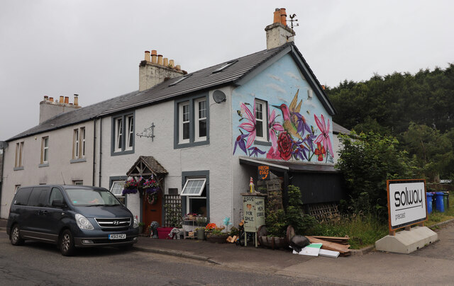
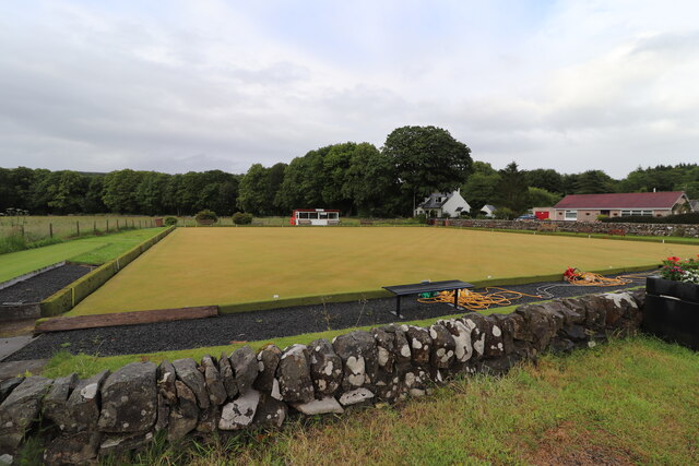
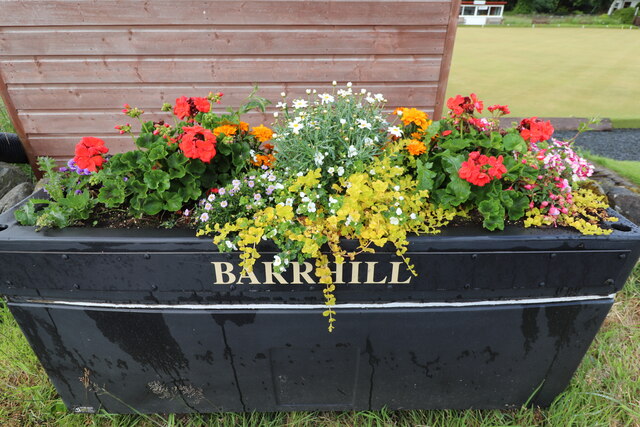
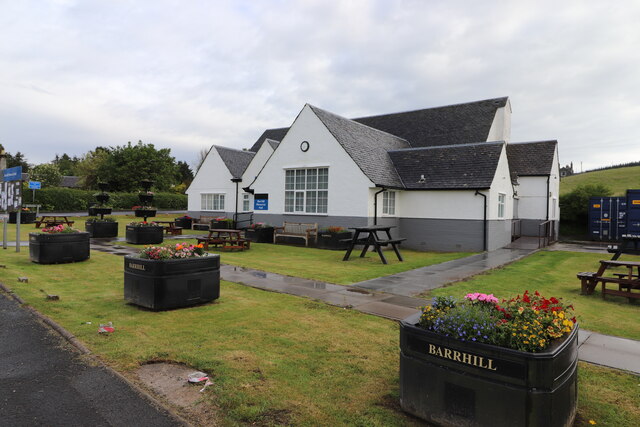
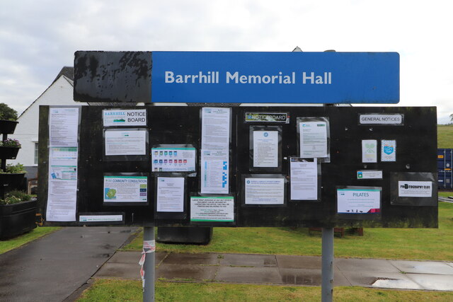
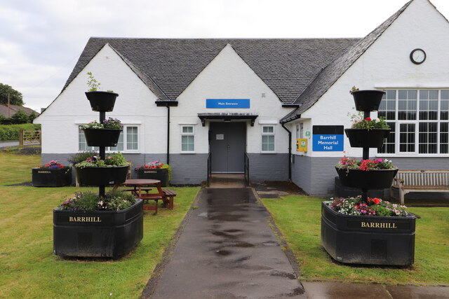
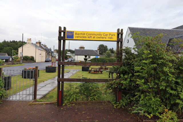
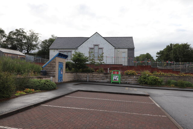
Barrhill boasts several amenities for its residents, including a primary school, a community hall, and a pub. The village is also known for its stunning natural beauty, with a variety of walking and hiking trails that allow visitors to explore the surrounding countryside. Additionally, Barrhill is located near the Galloway Forest Park, offering opportunities for outdoor activities such as camping, fishing, and wildlife spotting.

While Barrhill may be small in size, it offers a tranquil and idyllic setting for those seeking a peaceful retreat or a base for exploring the stunning Ayrshire region. With its friendly community, stunning landscapes, and convenient location, Barrhill is a hidden gem in the heart of Ayrshire that is worth a visit for nature enthusiasts and those seeking a break from the hustle and bustle of city life.

If you have any feedback on the listing, please let us know in the comments section below.

Barrhill Images

Images are sourced within 2km of 55.102685/-4.7729 or Grid Reference NX2382. Thanks to Geograph Open Source API. All images are credited.

Farmland at Barrhill Viewed from the Community Car Park.
Farmland at Barrhill
Viewed from the Community Car Park.
Barrhill Bowling Green Right opposite the Community Car Park.
Barrhill Bowling Green
Right opposite the Community Car Park.
Main Street, Barrhill Also the A714.
Main Street, Barrhill
Also the A714.
The A714 to Girvan Leaving Barrhill, on the left is the Primary School.
The A714 to Girvan
Leaving Barrhill, on the left is the Primary School.
Barrhill Bowling Green Viewed from the A714.
Barrhill Bowling Green
Viewed from the A714.
Old fingerpost In Barrhill there is the choice of the main route to Newton Stewart or a quieter one via the B7027.   This recently painted Royal Label Factory fingerpost with Ayr County Council on the annulus helps you decide.  Approaching this junction from the north you must know you've come from Girvan.
Old fingerpost
In Barrhill there is the choice of the main route to Newton Stewart or a quieter one via the B7027. This recently painted Royal Label Factory fingerpost with Ayr County Council on the annulus helps you decide. Approaching this junction from the north you must know you've come from Girvan.
Happy Hens Eggs With a beautiful gable end in Barrhill.
Happy Hens Eggs
With a beautiful gable end in Barrhill.
Roses in Barrhill At the Village car park.
Roses in Barrhill
At the Village car park.
Barrhill Bowling Green Viewed from the A714 in mid July (13th).
Barrhill Bowling Green
Viewed from the A714 in mid July (13th).
Exit from Community Car Park, Barrhill Onto the A714.
Exit from Community Car Park, Barrhill
Onto the A714.
Main Street, Barrhill On the left is the Bowling Green and on the right the Village Memorial Hall.
Main Street, Barrhill
On the left is the Bowling Green and on the right the Village Memorial Hall.
The A714 in Barrhill On the left is the Community car park and then the Primary School.
The A714 in Barrhill
On the left is the Community car park and then the Primary School.
Flower Planter, Barrhill With the bowling green in the background.
Flower Planter, Barrhill
With the bowling green in the background.
Barrhill Memorial Hall On Main Street (A714).
Barrhill Memorial Hall
On Main Street (A714).
Barrhill Notice Board At the Memorial Hall.
Barrhill Notice Board
At the Memorial Hall.
Barrhill Memorial Hall Path from Main Street (A714) to the Main Entrance.
Barrhill Memorial Hall
Path from Main Street (A714) to the Main Entrance.
Barrhill Community Car Park Sign Next to the Memorial Hall.
Barrhill Community Car Park Sign
Next to the Memorial Hall.
Barrhill Primary School Viewed from the Community car park.
Barrhill Primary School
Viewed from the Community car park.
Show me another place!

Barrhill is located at Grid Ref: NX2382 (Lat: 55.102685, Lng: -4.7729)

Unitary Authority: South Ayrshire

Police Authority: Ayrshire

What 3 Words

///mush.effort.unsigned. Near Girvan, South Ayrshire

Related Wikis

Barrhill, South Ayrshire

Barrhill (Scots: Baurhill) is a village in South Ayrshire, Scotland with a population of approximately 400 in 2001.While the surrounding area is predominantly...

Barrhill railway station

Barrhill railway station is a railway station serving the village of Barrhill, South Ayrshire, Scotland. The station is managed by ScotRail and is on the...

Pinwherry

Pinwherry is a hamlet in the civil parish of Colmonell, in the council area of South Ayrshire, Scotland. It is 8 miles south of Girvan. In 1961 it had...

Kilgallioch

Kilgallioch Wind Farm is a 96 turbine wind farm in South Ayrshire, Scotland with a total capacity of up to 239 megawatts (MW). Consent granted by the Scottish...

Pinwherry railway station

Pinwherry railway station served the village of Pinwherry, South Ayrshire, Scotland from 1887 to 1965 on the Girvan and Portpatrick Junction Railway....

Loch Dornal

Loch Dornal is an irregular shaped, shallow, freshwater loch in south Ayrshire, in the Southern Uplands of Scotland. It lies approximately eight miles...

Cairnderry chambered cairn

Cairnderry chambered cairn is a chambered cairn in Dumfries and Galloway. It is a Bargrennan cairn, a type of Neolithic or early Bronze Age monument only...

Arecleoch Wind Farm

Arecleoch Wind Farm is a 60 turbine wind farm in South Ayrshire, Scotland with a total capacity of 120 megawatts (MW), enough to power over 67,000 homes...

Nearby Amenities

Located within 500m of 55.102685,-4.7729
Barrhill
Name En: Barrhill
Name Gd: Am Bàrr
Name Sco: Baurhill
Place: village
Lat/Long: 55.1035007/-4.7682256
Suzane's Shop Store
Addr City: Barrhill
Addr Housenumber: 32
Addr Postcode: KA26 0QP
Addr Street: Main Street
Shop: convenience
Lat/Long: 55.1026629/-4.7696972
Post Box
Post Box Type: lamp
Ref: KA26 21
Lat/Long: 55.1027028/-4.7696087
Historic: memorial
Memorial: plaque
Lat/Long: 55.1035758/-4.7722048
Martyrs Tomb
Heritage Operator: Historic Environment Scotland
Heritage Website: https://portal.historicenvironment.scot/designation/LB1054
Historic: tomb
Inscription: Here lys John Murchie and Daniel McJlurick martyrs by bloody Drummon they were shot 1685
Listed Status: Category B
Ref GB Hs: LB1054
Tomb: yes
Wikidata: Q17840221
Lat/Long: 55.1001294/-4.7719256
Addr City: Barrhill
Addr Housename: Smiddy Cottage
Addr Housenumber: 25
Addr Street: Main Street
Lat/Long: 55.1030512/-4.7697906
Postal Code: KA26 0PR
Lat/Long: 55.103129/-4.7722453
Bus Stop
Barrhill, Cross Water
Public Transport: platform
Lat/Long: 55.1032694/-4.770349
Recycling
Lat/Long: 55.1033177/-4.7701559
Parking
Lat/Long: 55.1052787/-4.776903
Power: pole
Lat/Long: 55.1056623/-4.7785384
Power: pole
Lat/Long: 55.1053407/-4.7779575
Power: pole
Lat/Long: 55.1047273/-4.7768334
Power: pole
Lat/Long: 55.1033/-4.7724844
Power: pole
Lat/Long: 55.1041689/-4.7757916
Power: pole
Lat/Long: 55.1035312/-4.7746628
Power: pole
Lat/Long: 55.1029312/-4.7735457
Power: pole
Lat/Long: 55.1026042/-4.7729555
Power: pole
Lat/Long: 55.1022598/-4.7723534
Power: pole
Lat/Long: 55.1018413/-4.7715785
Power: pole
Lat/Long: 55.1013671/-4.7707068
Power: pole
Lat/Long: 55.1010326/-4.7700979
Power: pole
Lat/Long: 55.1006535/-4.7694113
Power: pole
Lat/Long: 55.1000351/-4.7682714
Bus Stop
Barrhill, Wallace Terrace
Public Transport: platform
Lat/Long: 55.1009641/-4.766205
Bus Stop
Barrhill, Wallace Terrace
Naptan AtcoCode: 6190419
Naptan NaptanCode: 29724258
Public Transport: platform
Lat/Long: 55.1011345/-4.7663914
Entrance: main
Lat/Long: 55.1036463/-4.772288
Defibrillator
Defibrillator Location: outside Barrhill Memorial Hall to the right of the main entrance
Emergency: defibrillator
Lat/Long: 55.1036737/-4.7722982
Power: pole
Lat/Long: 55.0995432/-4.7779035
Power: pole
Lat/Long: 55.1000276/-4.7769157
Power: pole
Lat/Long: 55.1005013/-4.775928
Power: pole
Lat/Long: 55.1009722/-4.7749521
Power: pole
Lat/Long: 55.1014471/-4.7740137
Power: pole
Lat/Long: 55.1018481/-4.7731836
Power: pole
Lat/Long: 55.1003142/-4.7751237
Power: pole
Lat/Long: 55.0994087/-4.7752766
Power: pole
Lat/Long: 55.0986215/-4.7754248
Power: pole
Lat/Long: 55.1056838/-4.7771086
Power: pole
Lat/Long: 55.1061049/-4.7760809
Power: pole
Lat/Long: 55.1063941/-4.7753566
Power: pole
Lat/Long: 55.1065542/-4.7740772
Power: pole
Lat/Long: 55.1066551/-4.7732447
Power: pole
Lat/Long: 55.1068421/-4.7716432
Power: pole
Lat/Long: 55.1069645/-4.7706437
Power: pole
Lat/Long: 55.1011067/-4.7686095
Barhill War Memorial
Historic: memorial
Material: stone
Memorial: war_memorial
Wikidata: Q114168064
Lat/Long: 55.1008007/-4.7660212
The data included in this document is from www.openstreetmap.org. The data is made available under ODbL.

Have you been to Barrhill?

Leave your review of Barrhill below (or comments, questions and feedback).