Lennie Wood
Wood, Forest in Ayrshire
Scotland
Lennie Wood
Lennie Wood, also known as Wood or Forest, is a small village located in Ayrshire, Scotland. Situated in the southern part of the country, it is nestled amidst a picturesque landscape of rolling green hills and dense woodlands. The village is known for its tranquil and serene atmosphere, making it an ideal escape from the hustle and bustle of city life.
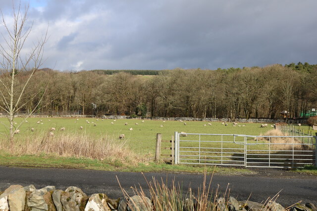
Lennie Wood is characterized by its dense forests, which cover a significant portion of the area. These woodlands are home to a diverse range of flora and fauna, making it a popular destination for nature enthusiasts and bird watchers. The forest trails offer a perfect opportunity for hiking, walking, and exploring the natural beauty of the surroundings.
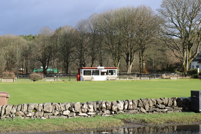
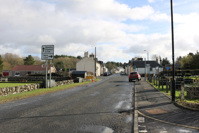
The village itself is small, with a tight-knit community that takes pride in its rural heritage. The residents of Lennie Wood are friendly and welcoming, often organizing community events and gatherings. The village has a few amenities, including a local pub and a small convenience store, catering to the needs of both residents and visitors.
For those interested in history, Lennie Wood is steeped in rich heritage. There are several historical landmarks, such as ancient ruins and old churches, that provide a glimpse into the village's past. Additionally, the nearby town of Ayr offers a range of cultural and historical attractions, including the famous Robert Burns Birthplace Museum.
Overall, Lennie Wood is a peaceful and idyllic village, offering a quiet retreat for nature lovers and a chance to immerse oneself in Scotland's natural beauty and history.
If you have any feedback on the listing, please let us know in the comments section below.
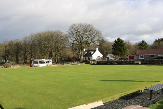
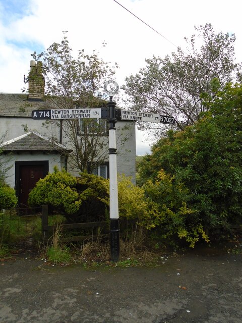
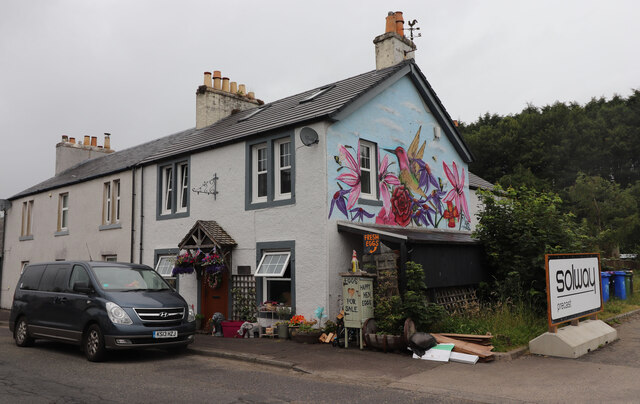
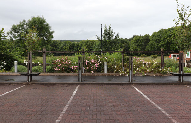
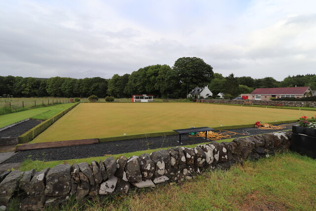
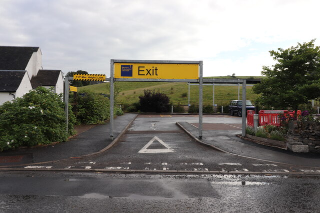
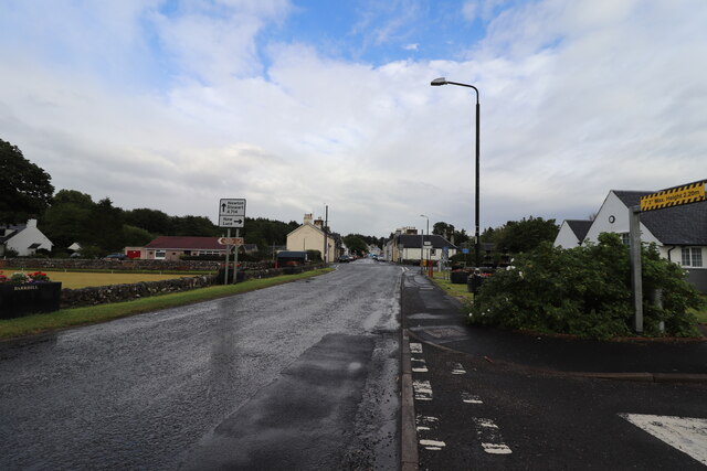
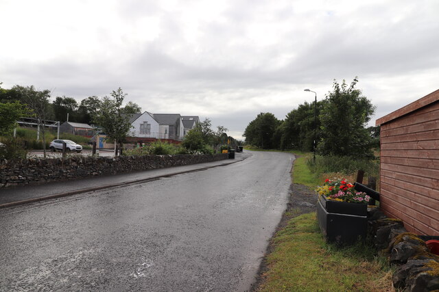
Lennie Wood Images
Images are sourced within 2km of 55.104907/-4.7662903 or Grid Reference NX2382. Thanks to Geograph Open Source API. All images are credited.
Lennie Wood is located at Grid Ref: NX2382 (Lat: 55.104907, Lng: -4.7662903)
Unitary Authority: South Ayrshire
Police Authority: Ayrshire
What 3 Words
///cups.radically.cashier. Near Girvan, South Ayrshire
Nearby Locations
Related Wikis

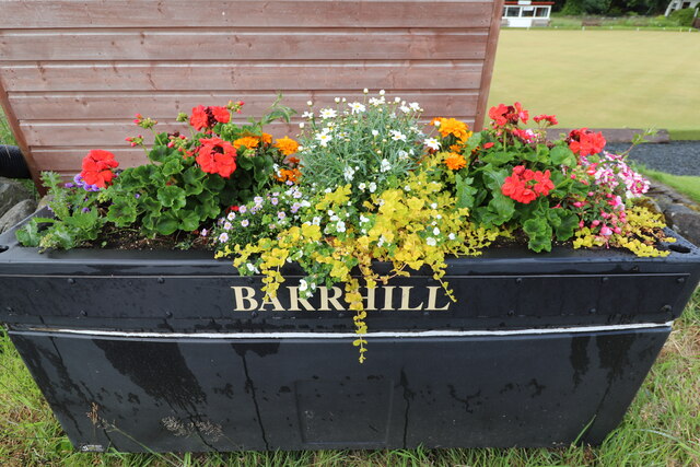
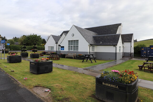
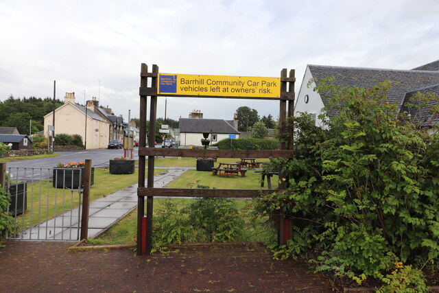
Barrhill, South Ayrshire
Barrhill (Scots: Baurhill) is a village in South Ayrshire, Scotland with a population of approximately 400 in 2001.While the surrounding area is predominantly...

Barrhill railway station
Barrhill railway station is a railway station serving the village of Barrhill, South Ayrshire, Scotland. The station is managed by ScotRail and is on the...

Pinwherry
Pinwherry is a hamlet in the civil parish of Colmonell, in the council area of South Ayrshire, Scotland. It is 8 miles south of Girvan. In 1961 it had...
Kilgallioch
Kilgallioch Wind Farm is a 96 turbine wind farm in South Ayrshire, Scotland with a total capacity of up to 239 megawatts (MW). Consent granted by the Scottish...
Nearby Amenities
Located within 500m of 55.104907,-4.7662903Have you been to Lennie Wood?
Leave your review of Lennie Wood below (or comments, questions and feedback).