Balluskie Plantation
Wood, Forest in Ayrshire
Scotland
Balluskie Plantation
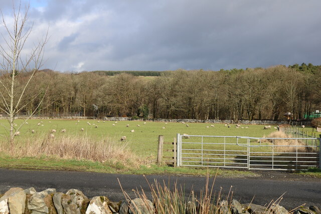
Balluskie Plantation is a picturesque woodland located in Ayrshire, Scotland. Covering an area of approximately 500 acres, this enchanting forest is a haven for nature lovers and outdoor enthusiasts.
The plantation is characterized by a diverse range of tree species, with towering oak, beech, and birch trees dominating the landscape. These majestic trees provide a lush canopy, creating a tranquil and serene atmosphere throughout the woodland. The forest floor is adorned with a rich carpet of moss, ferns, and wildflowers, adding to the natural beauty of the area.
Balluskie Plantation is renowned for its well-maintained network of walking trails, which offer visitors the opportunity to explore the woodland at their own pace. The trails meander through the forest, providing breathtaking views of the surrounding countryside and glimpses of wildlife, including deer, rabbits, and a variety of bird species.
This woodland gem also boasts a small river that runs through its heart, adding to the charm and diversity of the landscape. The river is home to a variety of aquatic life, including trout and salmon, making it a popular spot for fishing enthusiasts.
Visitors to Balluskie Plantation can enjoy a range of outdoor activities, such as hiking, birdwatching, picnicking, and photography. The plantation is open to the public year-round, offering an ever-changing spectacle as the seasons unfold. Autumn brings a stunning display of vibrant foliage, while spring showcases a carpet of bluebells and the joyful sounds of songbirds.
Balluskie Plantation is a true gem in the heart of Ayrshire, offering a peaceful retreat for those seeking respite from the bustling city life. With its natural beauty and abundance of wildlife, it is a must-visit destination for nature enthusiasts and a perfect escape into the tranquility of the Scottish countryside.
If you have any feedback on the listing, please let us know in the comments section below.
Balluskie Plantation Images
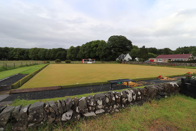
Images are sourced within 2km of 55.108712/-4.7630408 or Grid Reference NX2382. Thanks to Geograph Open Source API. All images are credited.
Balluskie Plantation is located at Grid Ref: NX2382 (Lat: 55.108712, Lng: -4.7630408)
Unitary Authority: South Ayrshire
Police Authority: Ayrshire
What 3 Words
///soulful.lays.succumbs. Near Girvan, South Ayrshire
Nearby Locations
Related Wikis

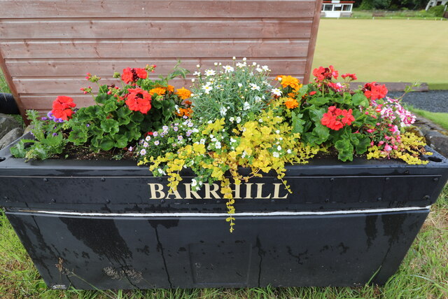
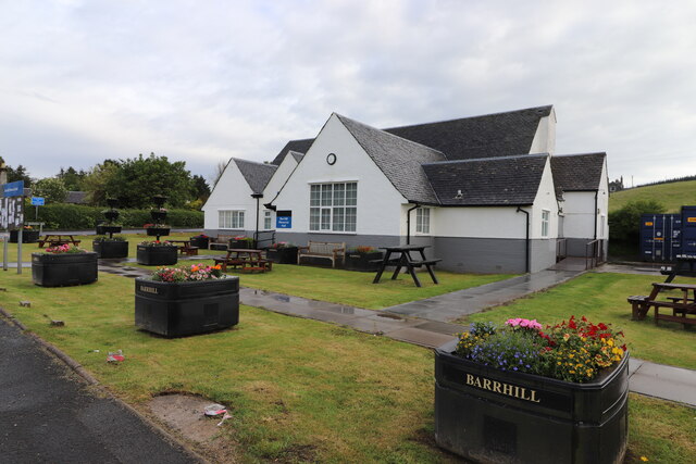
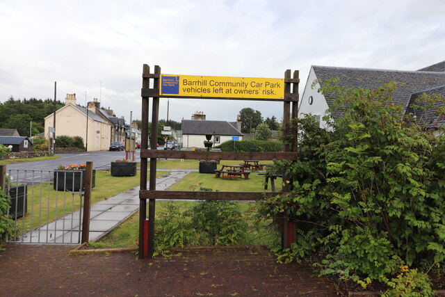
Barrhill, South Ayrshire
Barrhill (Scots: Baurhill) is a village in South Ayrshire, Scotland with a population of approximately 400 in 2001.While the surrounding area is predominantly...

Barrhill railway station
Barrhill railway station is a railway station serving the village of Barrhill, South Ayrshire, Scotland. The station is managed by ScotRail and is on the...

Pinwherry
Pinwherry is a hamlet in the civil parish of Colmonell, in the council area of South Ayrshire, Scotland. It is 8 miles south of Girvan. In 1961 it had...

Pinwherry railway station
Pinwherry railway station served the village of Pinwherry, South Ayrshire, Scotland from 1887 to 1965 on the Girvan and Portpatrick Junction Railway....
Nearby Amenities
Located within 500m of 55.108712,-4.7630408Have you been to Balluskie Plantation?
Leave your review of Balluskie Plantation below (or comments, questions and feedback).