West Lovestone Hill Plantation
Wood, Forest in Ayrshire
Scotland
West Lovestone Hill Plantation
The requested URL returned error: 429 Too Many Requests
If you have any feedback on the listing, please let us know in the comments section below.
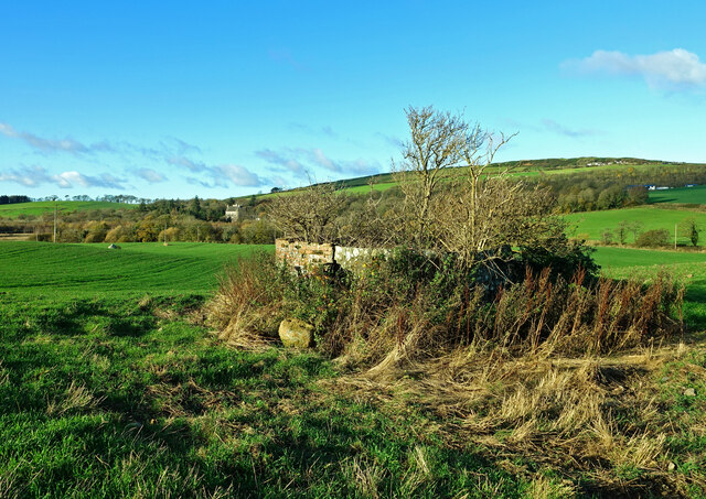
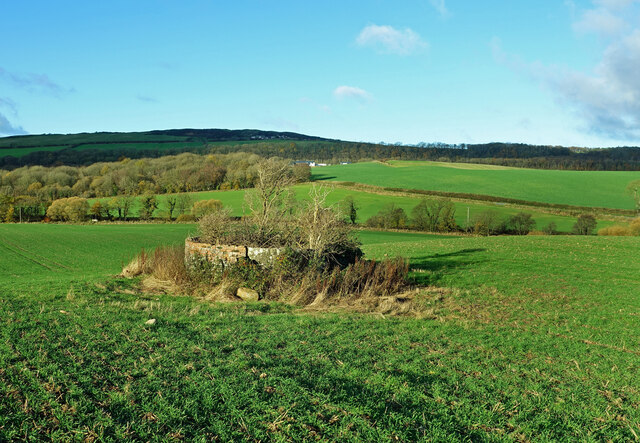
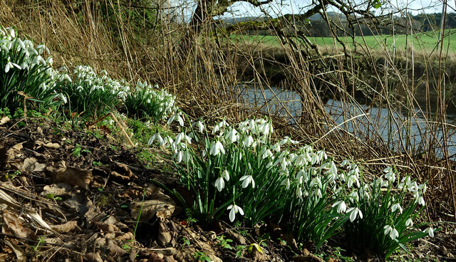
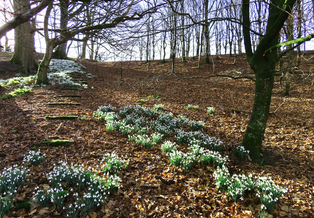
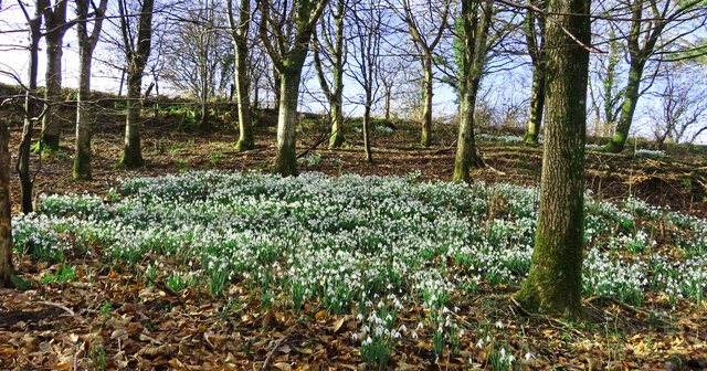
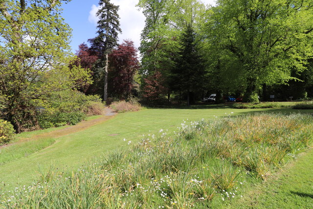
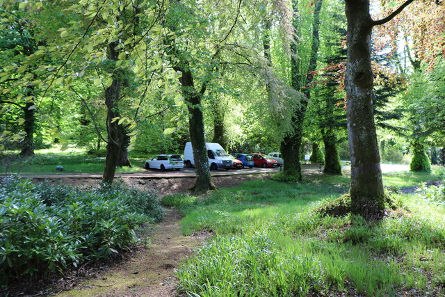
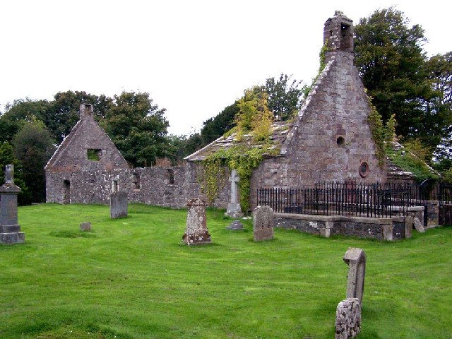
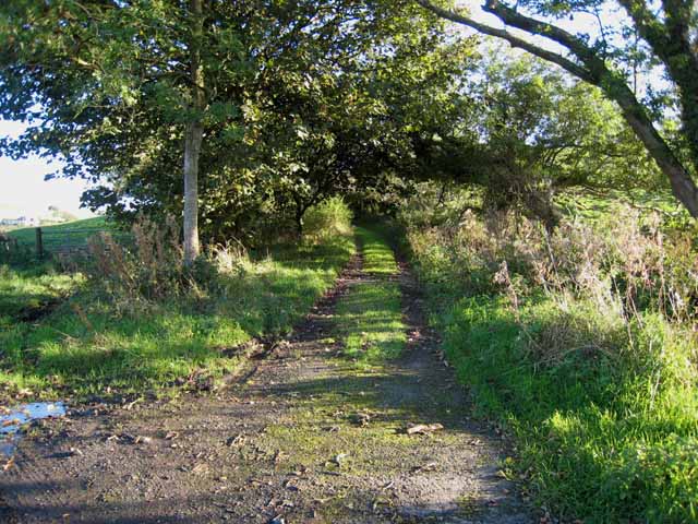
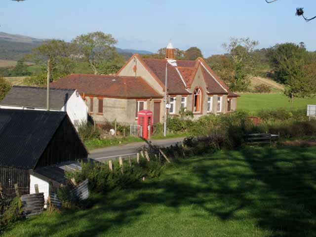
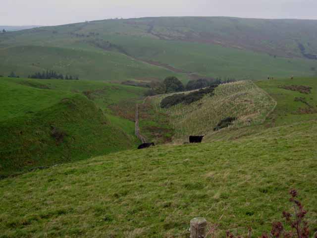
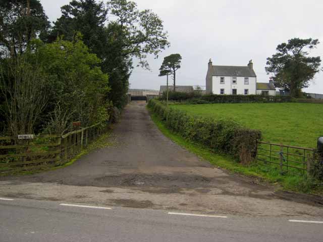
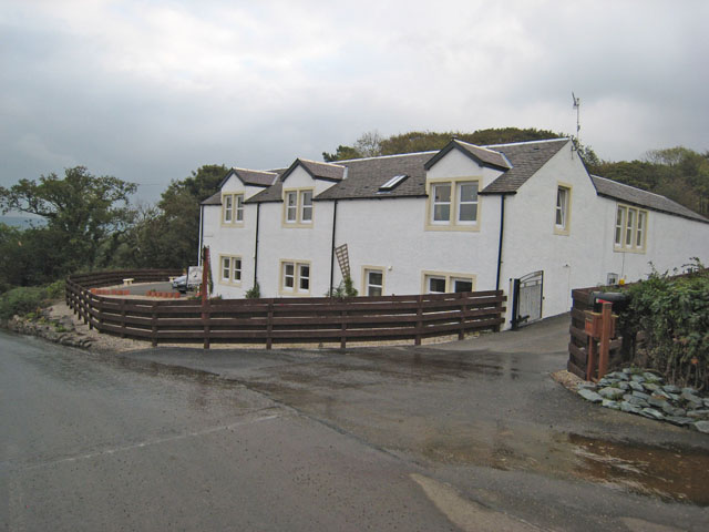
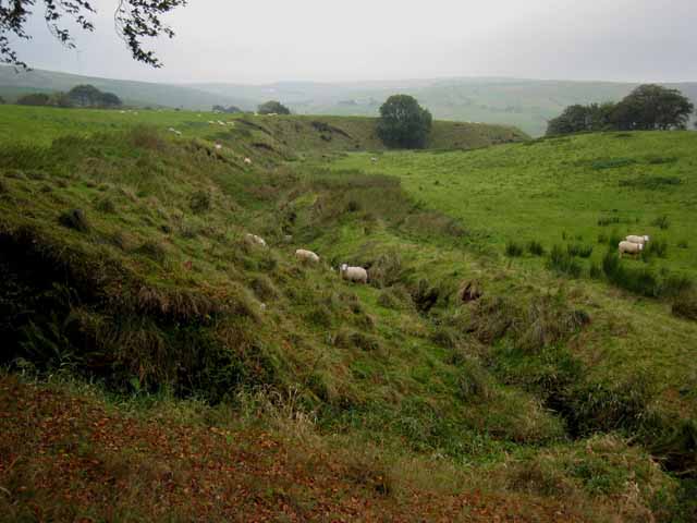
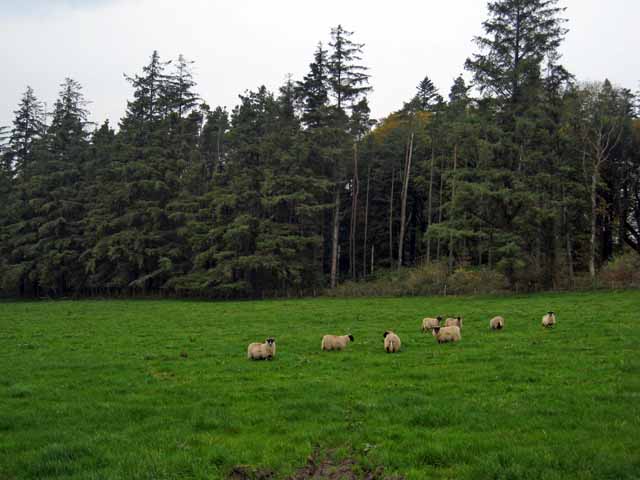
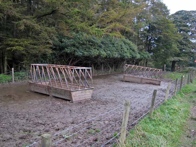
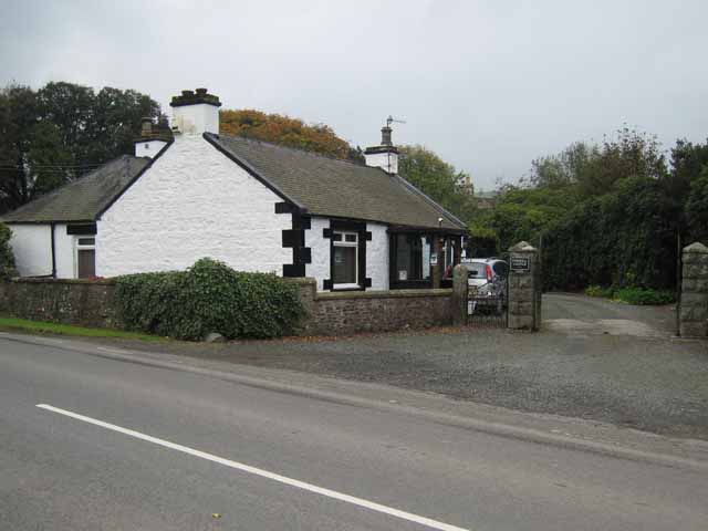
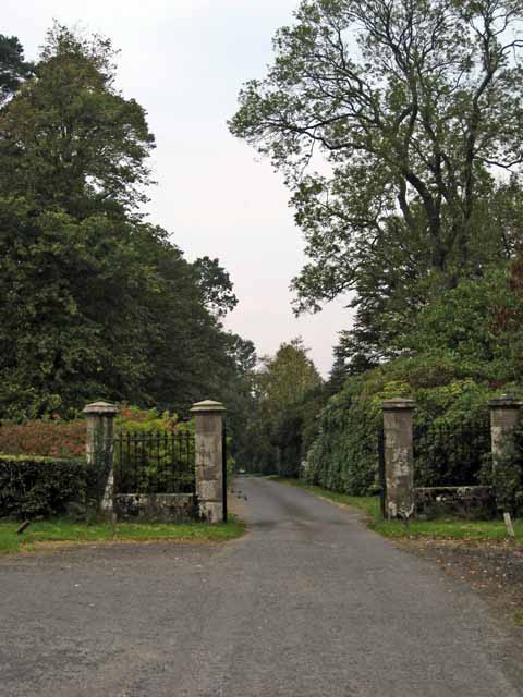
West Lovestone Hill Plantation Images
Images are sourced within 2km of 55.255502/-4.7733189 or Grid Reference NX2399. Thanks to Geograph Open Source API. All images are credited.
West Lovestone Hill Plantation is located at Grid Ref: NX2399 (Lat: 55.255502, Lng: -4.7733189)
Unitary Authority: South Ayrshire
Police Authority: Ayrshire
What 3 Words
///wipes.testing.proofread. Near Girvan, South Ayrshire
Nearby Locations
Related Wikis
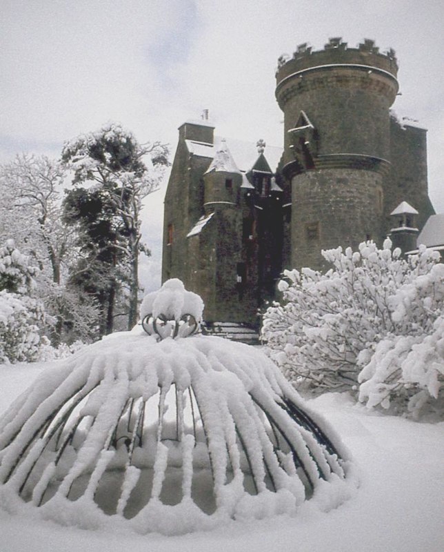
Penkill Castle
Penkill Castle is a 16th-century castle with later additions. It is around 1⁄2 mile (800 metres) south of Old Dailly, northeast of Girvan in south Ayrshire...

Killochan Castle
Killochan Castle is a 16th-century L-plan tower house about 3 miles (4.8 km) north east of Girvan, South Ayrshire, Scotland, north of the Water of Girvan...

Old Dailly
Old Dailly is a hamlet in South Ayrshire, Scotland. It is located west of Dailly (or "New Dailly"). The Charter or Blue stones of Old Dailly in Ayrshire...

Killochan railway station
Killochan railway station was located in a rural part of South Ayrshire, Scotland and mainly served the nearby Killochan Castle estate. The Killochan bank...
Nearby Amenities
Located within 500m of 55.255502,-4.7733189Have you been to West Lovestone Hill Plantation?
Leave your review of West Lovestone Hill Plantation below (or comments, questions and feedback).