Lovestone Plantation
Wood, Forest in Ayrshire
Scotland
Lovestone Plantation
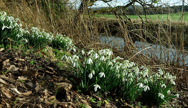
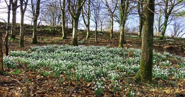
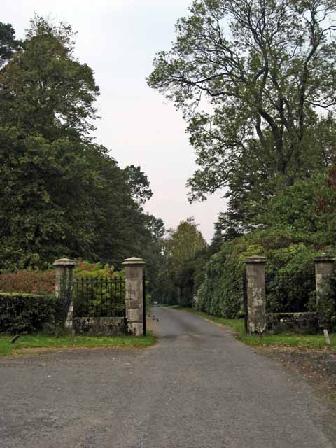
Lovestone Plantation, located in Ayrshire, Scotland, is a picturesque woodland area known for its serene beauty and rich history. Spanning over a vast expanse, the plantation is nestled amidst rolling hills and is renowned for its dense forests and flourishing wildlife.
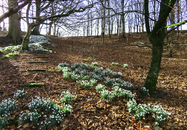
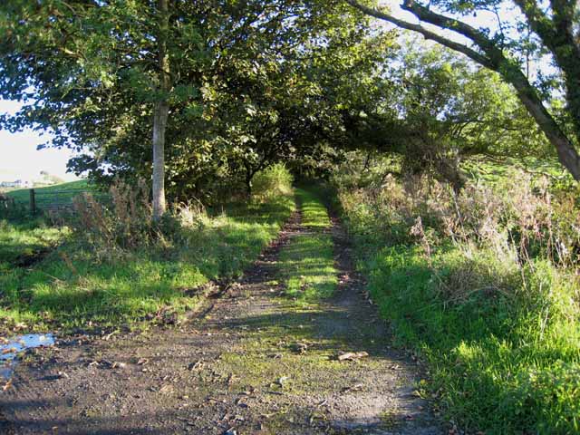
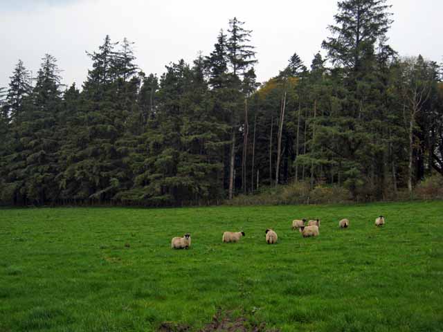
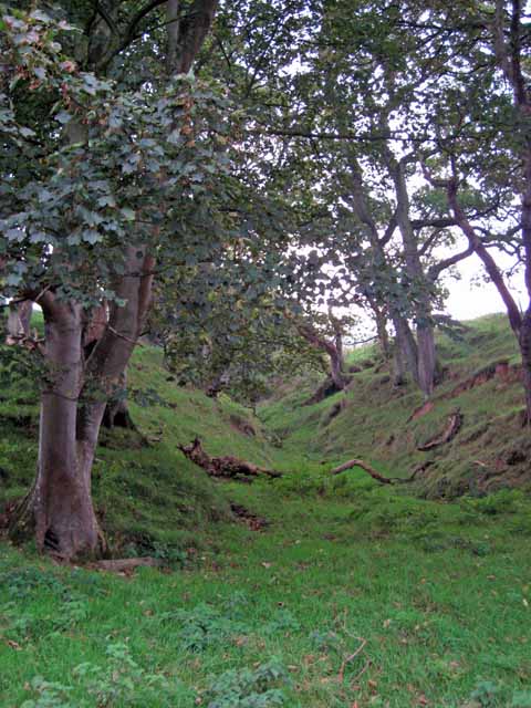
The woodland of Lovestone Plantation is primarily made up of various species of trees, including oak, beech, and pine, which create a diverse and enchanting landscape. The forest is home to a plethora of wildlife, providing a natural habitat for numerous species of birds, mammals, and insects. Visitors to the plantation can often spot deer, foxes, and a wide variety of bird species, making it a popular destination for nature enthusiasts and photographers.
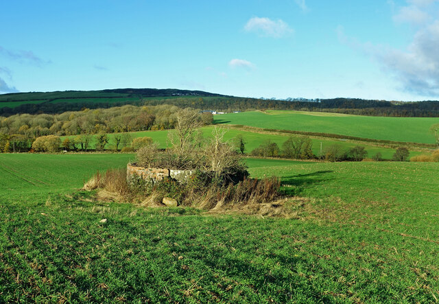
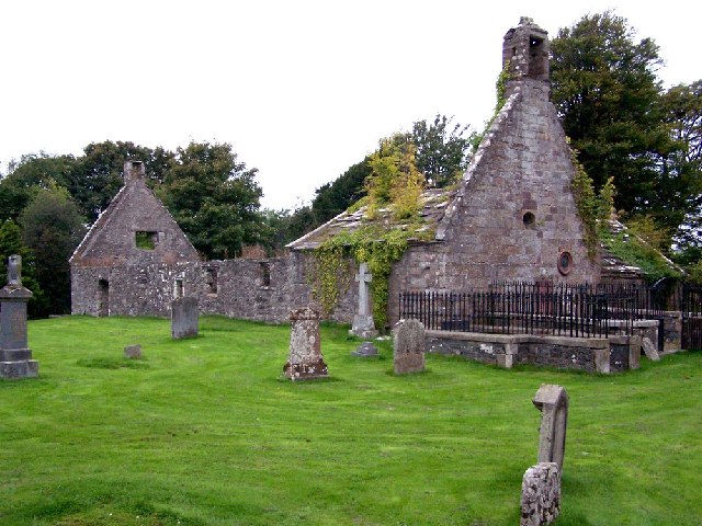
The history of Lovestone Plantation dates back several centuries, with records tracing its existence as far back as the 16th century. Originally used for timber production, the plantation later became a popular hunting ground for the local aristocracy. Today, remnants of its historical past can still be found in the form of ancient stone walls and ruins scattered throughout the woodland.
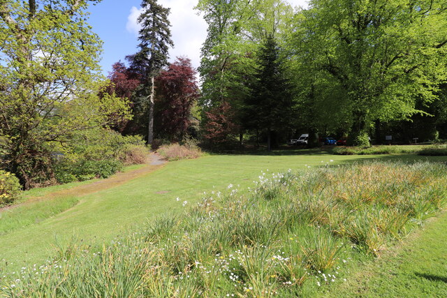
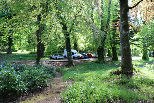
The plantation offers a range of activities for visitors to enjoy, including walking trails, cycling paths, and picnic areas. These amenities attract both locals and tourists seeking a peaceful retreat, away from the hustle and bustle of city life. Additionally, guided tours are available to provide insights into the rich heritage and natural wonders of Lovestone Plantation.
Overall, Lovestone Plantation is a captivating destination, offering a harmonious blend of natural beauty and historical significance. Its lush forests, diverse wildlife, and tranquil ambiance make it an idyllic retreat for anyone seeking solace in nature.
If you have any feedback on the listing, please let us know in the comments section below.
Lovestone Plantation Images
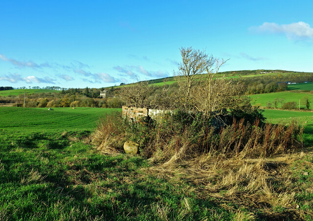
Images are sourced within 2km of 55.259353/-4.7779316 or Grid Reference NX2399. Thanks to Geograph Open Source API. All images are credited.
Lovestone Plantation is located at Grid Ref: NX2399 (Lat: 55.259353, Lng: -4.7779316)
Unitary Authority: South Ayrshire
Police Authority: Ayrshire
What 3 Words
///scatter.culling.giants. Near Girvan, South Ayrshire
Nearby Locations
Related Wikis

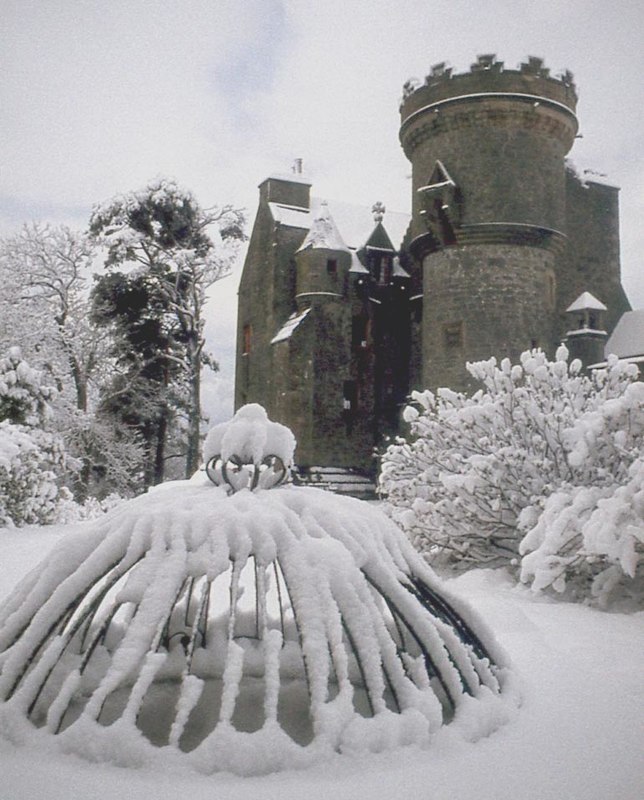
Killochan Castle
Killochan Castle is a 16th-century L-plan tower house about 3 miles (4.8 km) north east of Girvan, South Ayrshire, Scotland, north of the Water of Girvan...
Penkill Castle
Penkill Castle is a 16th-century castle with later additions. It is around 1⁄2 mile (800 metres) south of Old Dailly, northeast of Girvan in south Ayrshire...

Killochan railway station
Killochan railway station was located in a rural part of South Ayrshire, Scotland and mainly served the nearby Killochan Castle estate. The Killochan bank...

Old Dailly
Old Dailly is a hamlet in South Ayrshire, Scotland. It is located west of Dailly (or "New Dailly"). The Charter or Blue stones of Old Dailly in Ayrshire...
Nearby Amenities
Located within 500m of 55.259353,-4.7779316Have you been to Lovestone Plantation?
Leave your review of Lovestone Plantation below (or comments, questions and feedback).