Muiryett Plantation
Wood, Forest in Ayrshire
Scotland
Muiryett Plantation
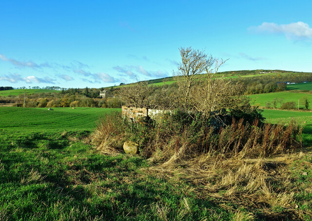
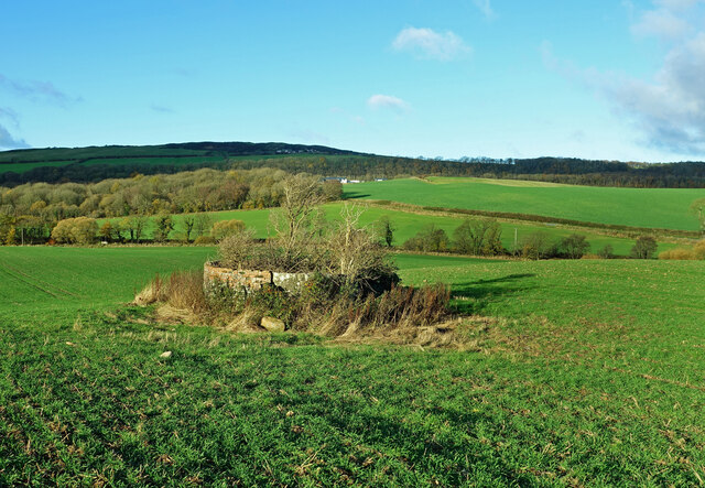
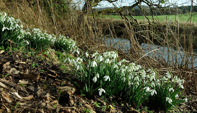
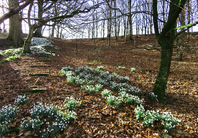
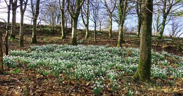
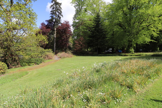
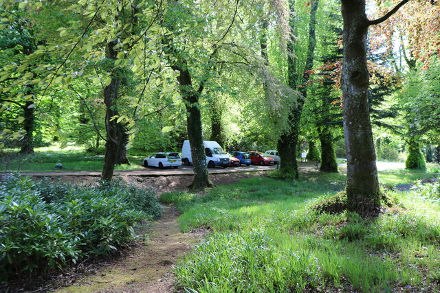
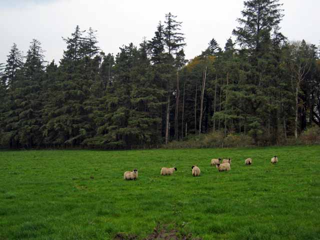
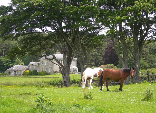
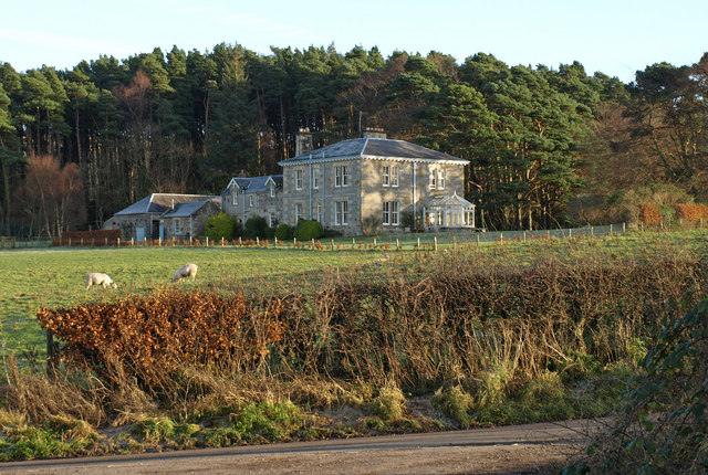
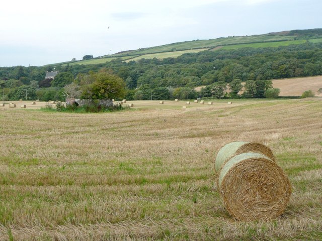
Muiryett Plantation is a picturesque woodland area located in Ayrshire, Scotland. This historic forest covers a vast expanse of land, with a diverse range of trees including oak, beech, and Scots pine. The plantation is known for its natural beauty and tranquil atmosphere, making it a popular destination for hikers, nature enthusiasts, and bird watchers.
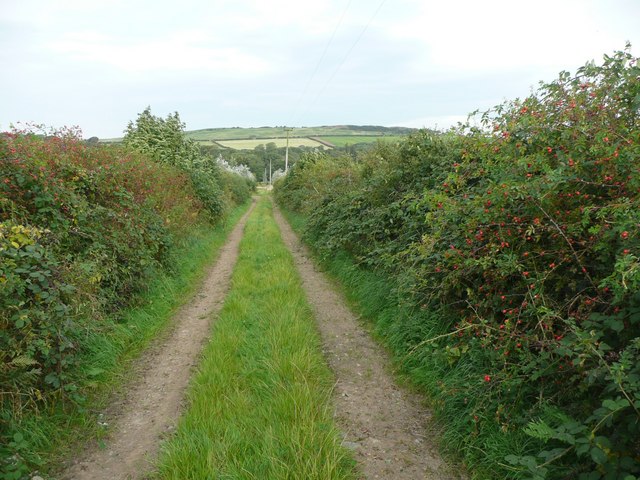
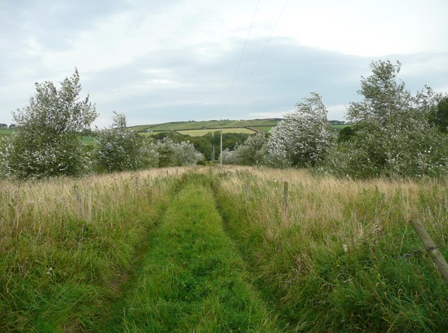
The woodland is home to a variety of wildlife, including deer, foxes, squirrels, and a wide array of bird species. Visitors can explore the network of walking trails that wind through the forest, offering stunning views of the surrounding countryside.
Muiryett Plantation has a rich history, with evidence of human habitation dating back to ancient times. The area was once used for timber production and hunting, and remnants of old structures can still be found scattered throughout the forest.
Today, the woodland is managed by local conservation groups to ensure the protection of its natural habitats and wildlife. Muiryett Plantation offers a peaceful retreat for those looking to escape the hustle and bustle of city life and immerse themselves in the beauty of nature.
If you have any feedback on the listing, please let us know in the comments section below.
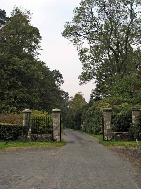
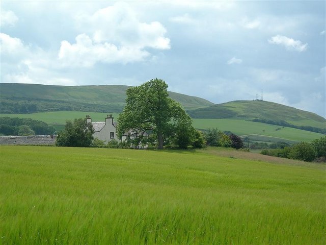
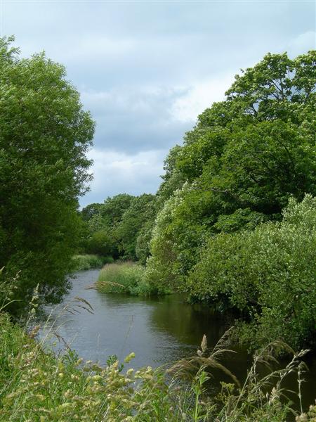
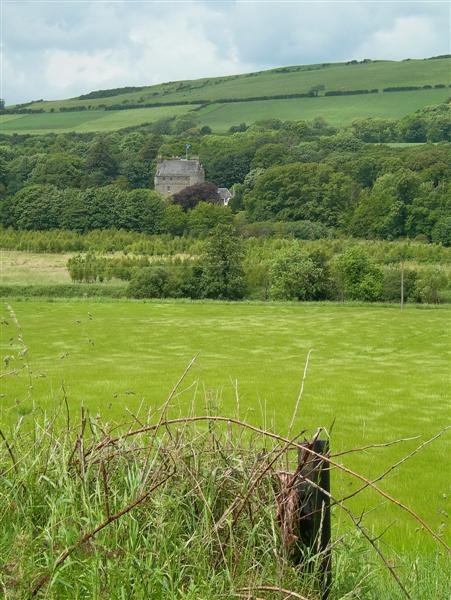
Muiryett Plantation Images
Images are sourced within 2km of 55.275833/-4.7794135 or Grid Reference NS2301. Thanks to Geograph Open Source API. All images are credited.

Muiryett Plantation is located at Grid Ref: NS2301 (Lat: 55.275833, Lng: -4.7794135)
Unitary Authority: South Ayrshire
Police Authority: Ayrshire
What 3 Words
///exhaling.decent.foster. Near Girvan, South Ayrshire
Nearby Locations
Related Wikis

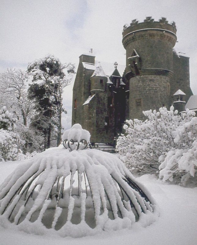
Killochan Castle
Killochan Castle is a 16th-century L-plan tower house about 3 miles (4.8 km) north east of Girvan, South Ayrshire, Scotland, north of the Water of Girvan...

Killochan railway station
Killochan railway station was located in a rural part of South Ayrshire, Scotland and mainly served the nearby Killochan Castle estate. The Killochan bank...

Dailly railway station
Dailly railway station served the village of Dailly, South Ayrshire, Scotland, from 1860 to 1965 on the Maybole and Girvan Railway. == History == The station...
Penkill Castle
Penkill Castle is a 16th-century castle with later additions. It is around 1⁄2 mile (800 metres) south of Old Dailly, northeast of Girvan in south Ayrshire...
Nearby Amenities
Located within 500m of 55.275833,-4.7794135Have you been to Muiryett Plantation?
Leave your review of Muiryett Plantation below (or comments, questions and feedback).