Barrhead
Settlement in Renfrewshire
Scotland
Barrhead
Barrhead is a town located in the council area of Renfrewshire, Scotland. Situated approximately 8 miles southwest of Glasgow, it is nestled in the central lowlands of the country. The town has a population of around 19,000 people and offers a mix of residential, commercial, and industrial areas.
Historically, Barrhead was a small agricultural village until the 19th century when it underwent rapid industrialization. The discovery of coal and iron ore in the surrounding areas led to the establishment of various mining and manufacturing industries. The town became renowned for its cotton mills, producing textiles that were exported globally.
Today, Barrhead has transformed into a vibrant community with a variety of amenities and attractions. The town center is home to a range of shops, restaurants, and cafes, catering to the needs of both residents and visitors. The Barrhead Foundry is a popular leisure center, offering a swimming pool, gym, and various fitness classes.
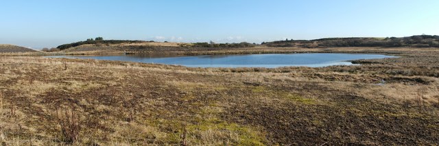
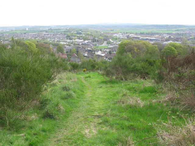
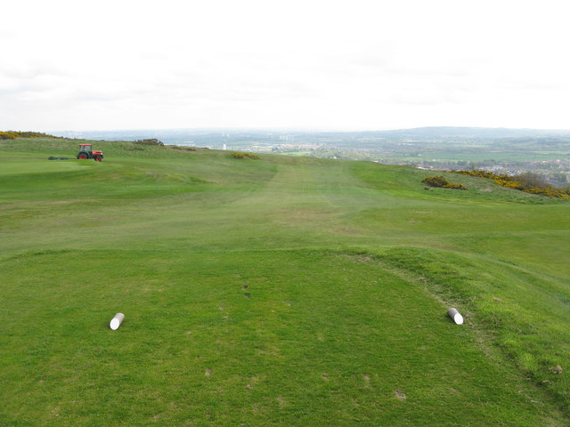
Nature enthusiasts can explore the nearby Dams to Darnley Country Park, a large green space with walking and cycling trails, wildlife habitats, and picturesque landscapes. Additionally, the Fereneze Hills and nearby water bodies such as the River Levern provide opportunities for outdoor activities and relaxation.
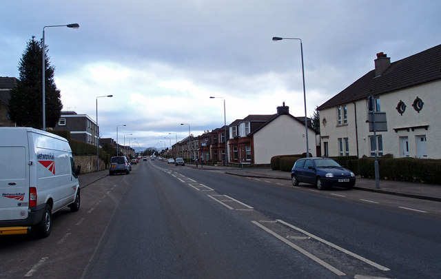
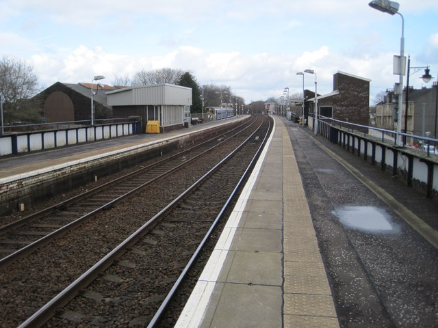
Transportation in Barrhead is well-served by bus and train connections. The town has its own railway station, providing convenient access to Glasgow and other surrounding areas.
Overall, Barrhead offers a balance between its industrial heritage and modern amenities, making it an appealing place to live and visit.
If you have any feedback on the listing, please let us know in the comments section below.
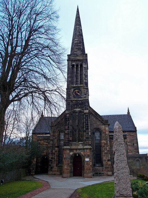
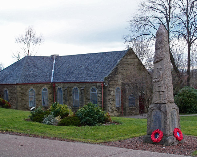
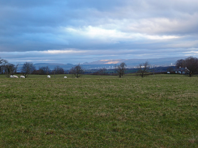
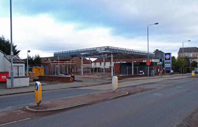
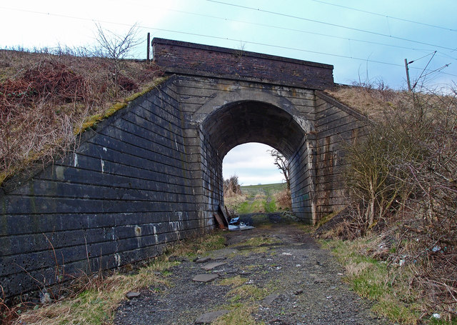
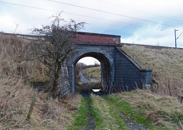
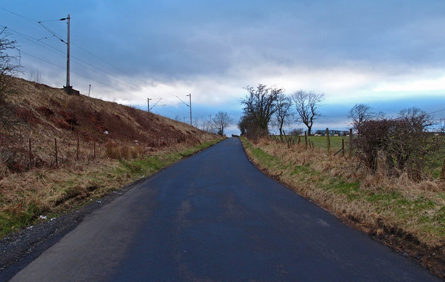
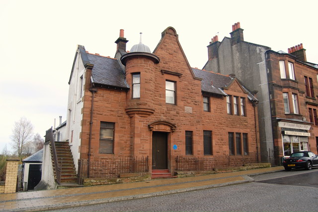
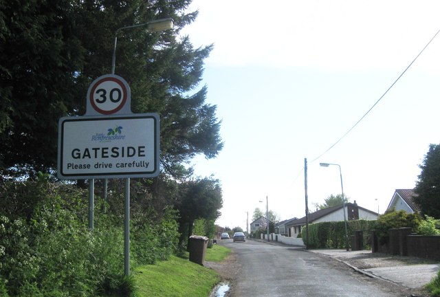
Barrhead Images
Images are sourced within 2km of 55.800844/-4.389661 or Grid Reference NS5058. Thanks to Geograph Open Source API. All images are credited.

Barrhead is located at Grid Ref: NS5058 (Lat: 55.800844, Lng: -4.389661)
Unitary Authority: East Renfrewshire
Police Authority: Greater Glasgow
What 3 Words
///normal.locate.icon. Near Barrhead, East Renfrewshire
Nearby Locations
Related Wikis

Barrhead
Barrhead (Scots: Baurheid, Scottish Gaelic: Ceann a' Bharra) is a town in East Renfrewshire, Scotland, thirteen kilometres (8 mi) southwest of Glasgow...

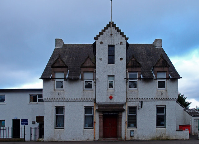
Barrhead Burgh Hall
Barrhead Burgh Hall, also known as Barrhead Burgh Court Hall and Burgh Chambers and as the James McGuire Building, is a municipal complex in Main Street...
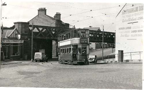
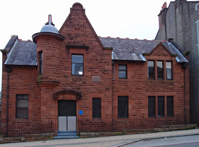
Barrhead (New) railway station
Barrhead (New) was one of four railway stations in Barrhead, Renfrewshire, Scotland. == History == The station was originally part of the Paisley and Barrhead...

Barrhead Central railway station
Barrhead Central railway station was a railway station serving the town of Barrhead, Renfrewshire, Scotland. The station was on the Glasgow and South...
Dunterlie Park
Dunterlie Park is a football ground in Barrhead, Scotland. The third stadium to bear the name, it is the home ground of Arthurlie. == History == Arthurlie...

Barrhead railway station
Barrhead railway station is a railway station in the town of Barrhead, East Renfrewshire, Greater Glasgow, Scotland. The station is managed by ScotRail...
Dunterlie Park (1882–1906)
Dunterlie Park was a football ground in Barrhead, Scotland. It was the home ground of Arthurlie between 1882 and 1906, and was the first of three grounds...
Arthurlie
Arthurlie is an area of the town of Barrhead, East Renfrewshire, Scotland. == History of Arthurlie == The lands of Arthurlie were held in medieval times...
Nearby Amenities
Located within 500m of 55.800844,-4.389661Have you been to Barrhead?
Leave your review of Barrhead below (or comments, questions and feedback).