Barrets Green

Settlement in Cheshire

England

Barrets Green

Narrowboats on the Shropshire Union Canal The Shropshire Union Canal (from Autherley to Nantwich) was engineered by Thomas Telford and opened in 1835. There are long straight sections of this canal which required either embankments or cuttings to avoid the need for locks. Although this was a more difficult procedure, the end route was shorter and the progress for horse drawn working boats could be maintained with (hopefully) no stoppages. The canal (formerly the Birmingham and Liverpool Junction Canal) was opened at a time when railways were making serious inroads into the canal companies' businesses. 

The current Shroppie north of Nantwich was formerly the Chester Canal, opened in 1779, and has wider locks and bridges. Boats up to nine feet in beam can still navigate this section; Telford's canal accommodates only narrowboats up to seven feet in beam.
Narrowboats on the Shropshire Union Canal Credit: Mat Fascione

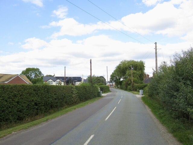
Barrets Green is a small village located in the county of Cheshire, England. Situated approximately 6 miles north of the town of Knutsford, it is nestled within the picturesque Cheshire countryside. The village is known for its tranquil and idyllic setting, offering residents and visitors a peaceful retreat from the hustle and bustle of city life.

Barrets Green is characterized by its traditional English architecture, with charming cottages and well-maintained gardens lining the village streets. The area is predominantly residential, and the community prides itself on maintaining a close-knit and friendly atmosphere. Despite its small size, the village boasts a strong sense of community spirit, with various local events and gatherings organized throughout the year.

While Barrets Green may lack some of the amenities and services found in larger towns, it benefits from its proximity to nearby Knutsford. Residents can easily access a range of shops, supermarkets, restaurants, and other essential facilities just a short drive away. Additionally, the village is also well-connected to surrounding areas through a network of roads and public transport links.

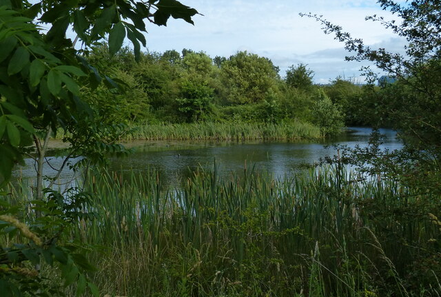
Nature lovers will appreciate the abundance of green spaces surrounding Barrets Green, with several scenic walking trails and nature reserves located nearby. The area is also known for its rich wildlife, making it a haven for birdwatching and nature enthusiasts.

Overall, Barrets Green offers a serene and picturesque village lifestyle, making it a desirable place to live for those seeking a peaceful retreat in the heart of Cheshire.

If you have any feedback on the listing, please let us know in the comments section below.

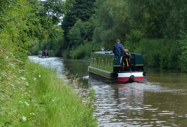
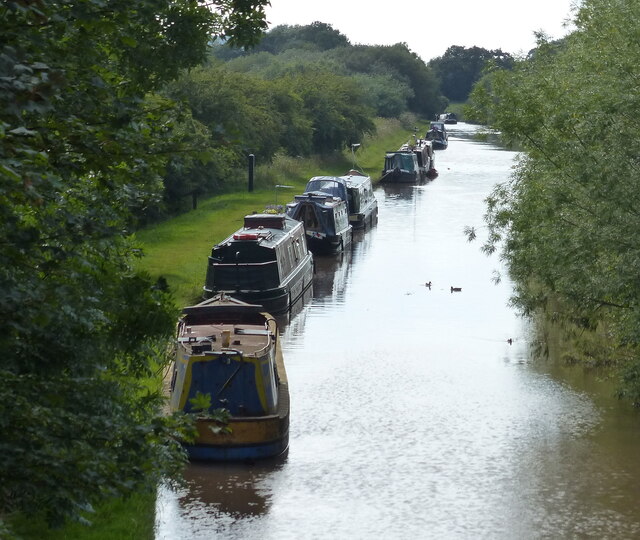
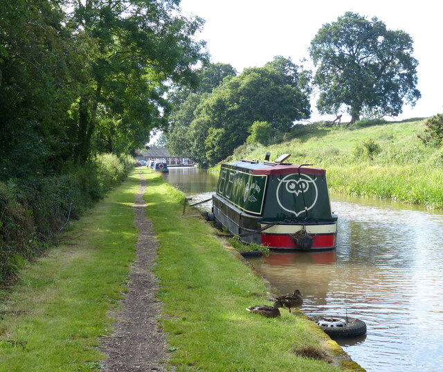
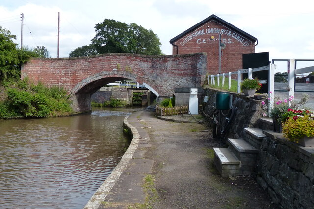
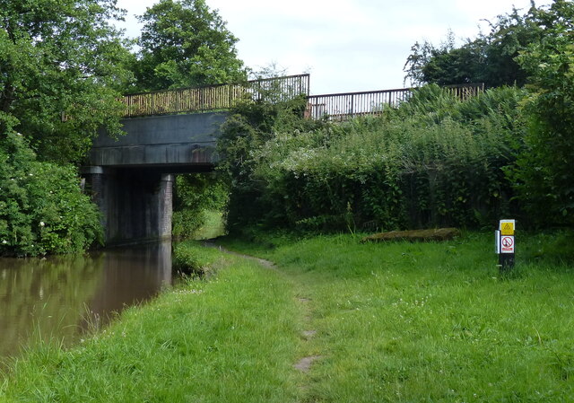
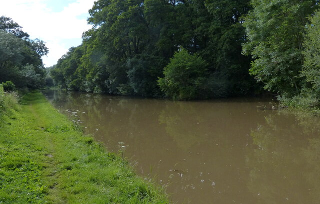
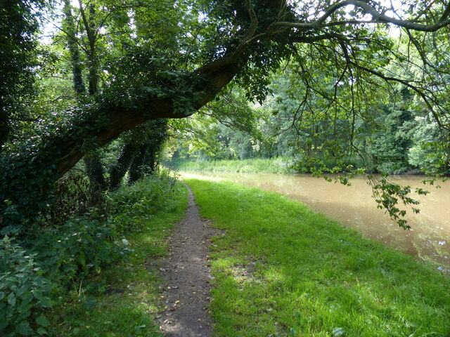
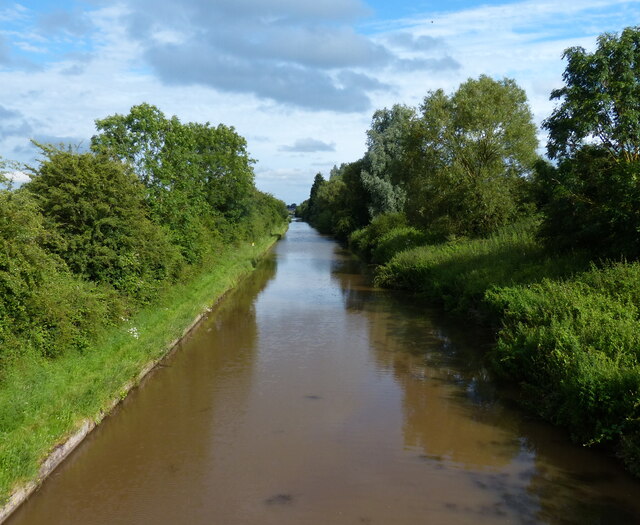
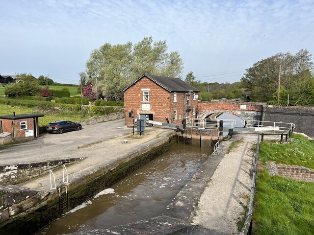
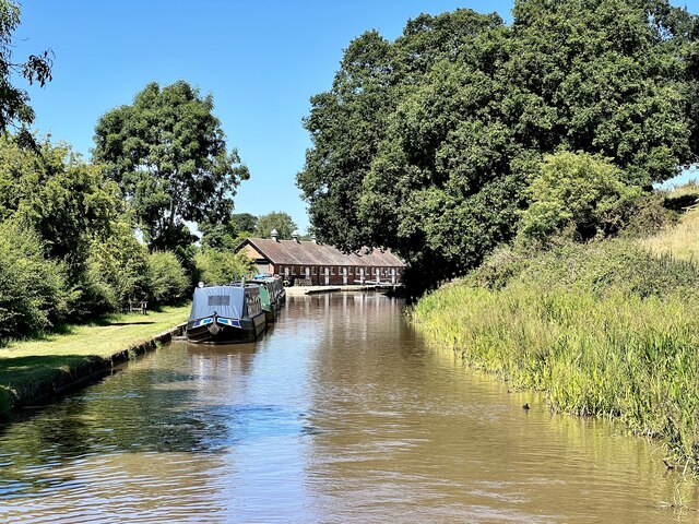
Barrets Green Images

Images are sourced within 2km of 53.127925/-2.611964 or Grid Reference SJ5959. Thanks to Geograph Open Source API. All images are credited.

Narrowboats on the Shropshire Union Canal The Shropshire Union Canal (from Autherley to Nantwich) was engineered by Thomas Telford and opened in 1835. There are long straight sections of this canal which required either embankments or cuttings to avoid the need for locks. Although this was a more difficult procedure, the end route was shorter and the progress for horse drawn working boats could be maintained with (hopefully) no stoppages. The canal (formerly the Birmingham and Liverpool Junction Canal) was opened at a time when railways were making serious inroads into the canal companies' businesses. 

The current Shroppie north of Nantwich was formerly the Chester Canal, opened in 1779, and has wider locks and bridges. Boats up to nine feet in beam can still navigate this section; Telford's canal accommodates only narrowboats up to seven feet in beam.
Narrowboats on the Shropshire Union Canal
The Shropshire Union Canal (from Autherley to Nantwich) was engineered by Thomas Telford and opened in 1835. There are long straight sections of this canal which required either embankments or cuttings to avoid the need for locks. Although this was a more difficult procedure, the end route was shorter and the progress for horse drawn working boats could be maintained with (hopefully) no stoppages. The canal (formerly the Birmingham and Liverpool Junction Canal) was opened at a time when railways were making serious inroads into the canal companies' businesses. The current Shroppie north of Nantwich was formerly the Chester Canal, opened in 1779, and has wider locks and bridges. Boats up to nine feet in beam can still navigate this section; Telford's canal accommodates only narrowboats up to seven feet in beam.
Tweedale Bridge No 103A The Shropshire Union Canal (from Autherley to Nantwich) was engineered by Thomas Telford and opened in 1835. There are long straight sections of this canal which required either embankments or cuttings to avoid the need for locks. Although this was a more difficult procedure, the end route was shorter and the progress for horse drawn working boats could be maintained with (hopefully) no stoppages. The canal (formerly the Birmingham and Liverpool Junction Canal) was opened at a time when railways were making serious inroads into the canal companies' businesses. 

The current Shroppie north of Nantwich was formerly the Chester Canal, opened in 1779, and has wider locks and bridges. Boats up to nine feet in beam can still navigate this section; Telford's canal accommodates only narrowboats up to seven feet in beam.
Tweedale Bridge No 103A
The Shropshire Union Canal (from Autherley to Nantwich) was engineered by Thomas Telford and opened in 1835. There are long straight sections of this canal which required either embankments or cuttings to avoid the need for locks. Although this was a more difficult procedure, the end route was shorter and the progress for horse drawn working boats could be maintained with (hopefully) no stoppages. The canal (formerly the Birmingham and Liverpool Junction Canal) was opened at a time when railways were making serious inroads into the canal companies' businesses. The current Shroppie north of Nantwich was formerly the Chester Canal, opened in 1779, and has wider locks and bridges. Boats up to nine feet in beam can still navigate this section; Telford's canal accommodates only narrowboats up to seven feet in beam.
Shropshire Union Canal at Calveley The Shropshire Union Canal (from Autherley to Nantwich) was engineered by Thomas Telford and opened in 1835. There are long straight sections of this canal which required either embankments or cuttings to avoid the need for locks. Although this was a more difficult procedure, the end route was shorter and the progress for horse drawn working boats could be maintained with (hopefully) no stoppages. The canal (formerly the Birmingham and Liverpool Junction Canal) was opened at a time when railways were making serious inroads into the canal companies' businesses. 

The current Shroppie north of Nantwich was formerly the Chester Canal, opened in 1779, and has wider locks and bridges. Boats up to nine feet in beam can still navigate this section; Telford's canal accommodates only narrowboats up to seven feet in beam.
Shropshire Union Canal at Calveley
The Shropshire Union Canal (from Autherley to Nantwich) was engineered by Thomas Telford and opened in 1835. There are long straight sections of this canal which required either embankments or cuttings to avoid the need for locks. Although this was a more difficult procedure, the end route was shorter and the progress for horse drawn working boats could be maintained with (hopefully) no stoppages. The canal (formerly the Birmingham and Liverpool Junction Canal) was opened at a time when railways were making serious inroads into the canal companies' businesses. The current Shroppie north of Nantwich was formerly the Chester Canal, opened in 1779, and has wider locks and bridges. Boats up to nine feet in beam can still navigate this section; Telford's canal accommodates only narrowboats up to seven feet in beam.
Narrowboats moored along the Shropshire Union Canal Viewed from Calveley Turnover Bridge No 104.
Narrowboats moored along the Shropshire Union Canal
Viewed from Calveley Turnover Bridge No 104.
Calveley Turnover Bridge No 104 The Shropshire Union Canal (from Autherley to Nantwich) was engineered by Thomas Telford and opened in 1835. There are long straight sections of this canal which required either embankments or cuttings to avoid the need for locks. Although this was a more difficult procedure, the end route was shorter and the progress for horse drawn working boats could be maintained with (hopefully) no stoppages. The canal (formerly the Birmingham and Liverpool Junction Canal) was opened at a time when railways were making serious inroads into the canal companies' businesses. 

The current Shroppie north of Nantwich was formerly the Chester Canal, opened in 1779, and has wider locks and bridges. Boats up to nine feet in beam can still navigate this section; Telford's canal accommodates only narrowboats up to seven feet in beam.
Calveley Turnover Bridge No 104
The Shropshire Union Canal (from Autherley to Nantwich) was engineered by Thomas Telford and opened in 1835. There are long straight sections of this canal which required either embankments or cuttings to avoid the need for locks. Although this was a more difficult procedure, the end route was shorter and the progress for horse drawn working boats could be maintained with (hopefully) no stoppages. The canal (formerly the Birmingham and Liverpool Junction Canal) was opened at a time when railways were making serious inroads into the canal companies' businesses. The current Shroppie north of Nantwich was formerly the Chester Canal, opened in 1779, and has wider locks and bridges. Boats up to nine feet in beam can still navigate this section; Telford's canal accommodates only narrowboats up to seven feet in beam.
Narrowboats along the Shropshire Union Canal at Calveley The Shropshire Union Canal (from Autherley to Nantwich) was engineered by Thomas Telford and opened in 1835. There are long straight sections of this canal which required either embankments or cuttings to avoid the need for locks. Although this was a more difficult procedure, the end route was shorter and the progress for horse drawn working boats could be maintained with (hopefully) no stoppages. The canal (formerly the Birmingham and Liverpool Junction Canal) was opened at a time when railways were making serious inroads into the canal companies' businesses. 

The current Shroppie north of Nantwich was formerly the Chester Canal, opened in 1779, and has wider locks and bridges. Boats up to nine feet in beam can still navigate this section; Telford's canal accommodates only narrowboats up to seven feet in beam.
Narrowboats along the Shropshire Union Canal at Calveley
The Shropshire Union Canal (from Autherley to Nantwich) was engineered by Thomas Telford and opened in 1835. There are long straight sections of this canal which required either embankments or cuttings to avoid the need for locks. Although this was a more difficult procedure, the end route was shorter and the progress for horse drawn working boats could be maintained with (hopefully) no stoppages. The canal (formerly the Birmingham and Liverpool Junction Canal) was opened at a time when railways were making serious inroads into the canal companies' businesses. The current Shroppie north of Nantwich was formerly the Chester Canal, opened in 1779, and has wider locks and bridges. Boats up to nine feet in beam can still navigate this section; Telford's canal accommodates only narrowboats up to seven feet in beam.
Shropshire Union Canal near Bunbury The Shropshire Union Canal (from Autherley to Nantwich) was engineered by Thomas Telford and opened in 1835. There are long straight sections of this canal which required either embankments or cuttings to avoid the need for locks. Although this was a more difficult procedure, the end route was shorter and the progress for horse drawn working boats could be maintained with (hopefully) no stoppages. The canal (formerly the Birmingham and Liverpool Junction Canal) was opened at a time when railways were making serious inroads into the canal companies' businesses. 

The current Shroppie north of Nantwich was formerly the Chester Canal, opened in 1779, and has wider locks and bridges. Boats up to nine feet in beam can still navigate this section; Telford's canal accommodates only narrowboats up to seven feet in beam.
Shropshire Union Canal near Bunbury
The Shropshire Union Canal (from Autherley to Nantwich) was engineered by Thomas Telford and opened in 1835. There are long straight sections of this canal which required either embankments or cuttings to avoid the need for locks. Although this was a more difficult procedure, the end route was shorter and the progress for horse drawn working boats could be maintained with (hopefully) no stoppages. The canal (formerly the Birmingham and Liverpool Junction Canal) was opened at a time when railways were making serious inroads into the canal companies' businesses. The current Shroppie north of Nantwich was formerly the Chester Canal, opened in 1779, and has wider locks and bridges. Boats up to nine feet in beam can still navigate this section; Telford's canal accommodates only narrowboats up to seven feet in beam.
Narrowboat moored along the Shropshire Union Canal The Shropshire Union Canal (from Autherley to Nantwich) was engineered by Thomas Telford and opened in 1835. There are long straight sections of this canal which required either embankments or cuttings to avoid the need for locks. Although this was a more difficult procedure, the end route was shorter and the progress for horse drawn working boats could be maintained with (hopefully) no stoppages. The canal (formerly the Birmingham and Liverpool Junction Canal) was opened at a time when railways were making serious inroads into the canal companies' businesses. 

The current Shroppie north of Nantwich was formerly the Chester Canal, opened in 1779, and has wider locks and bridges. Boats up to nine feet in beam can still navigate this section; Telford's canal accommodates only narrowboats up to seven feet in beam.
Narrowboat moored along the Shropshire Union Canal
The Shropshire Union Canal (from Autherley to Nantwich) was engineered by Thomas Telford and opened in 1835. There are long straight sections of this canal which required either embankments or cuttings to avoid the need for locks. Although this was a more difficult procedure, the end route was shorter and the progress for horse drawn working boats could be maintained with (hopefully) no stoppages. The canal (formerly the Birmingham and Liverpool Junction Canal) was opened at a time when railways were making serious inroads into the canal companies' businesses. The current Shroppie north of Nantwich was formerly the Chester Canal, opened in 1779, and has wider locks and bridges. Boats up to nine feet in beam can still navigate this section; Telford's canal accommodates only narrowboats up to seven feet in beam.
Bunbury Bridge No 105 The Shropshire Union Canal (from Autherley to Nantwich) was engineered by Thomas Telford and opened in 1835. There are long straight sections of this canal which required either embankments or cuttings to avoid the need for locks. Although this was a more difficult procedure, the end route was shorter and the progress for horse drawn working boats could be maintained with (hopefully) no stoppages. The canal (formerly the Birmingham and Liverpool Junction Canal) was opened at a time when railways were making serious inroads into the canal companies' businesses. 

The current Shroppie north of Nantwich was formerly the Chester Canal, opened in 1779, and has wider locks and bridges. Boats up to nine feet in beam can still navigate this section; Telford's canal accommodates only narrowboats up to seven feet in beam.
Bunbury Bridge No 105
The Shropshire Union Canal (from Autherley to Nantwich) was engineered by Thomas Telford and opened in 1835. There are long straight sections of this canal which required either embankments or cuttings to avoid the need for locks. Although this was a more difficult procedure, the end route was shorter and the progress for horse drawn working boats could be maintained with (hopefully) no stoppages. The canal (formerly the Birmingham and Liverpool Junction Canal) was opened at a time when railways were making serious inroads into the canal companies' businesses. The current Shroppie north of Nantwich was formerly the Chester Canal, opened in 1779, and has wider locks and bridges. Boats up to nine feet in beam can still navigate this section; Telford's canal accommodates only narrowboats up to seven feet in beam.
Bunbury Railway Bridge No 105A The Shropshire Union Canal (from Autherley to Nantwich) was engineered by Thomas Telford and opened in 1835. There are long straight sections of this canal which required either embankments or cuttings to avoid the need for locks. Although this was a more difficult procedure, the end route was shorter and the progress for horse drawn working boats could be maintained with (hopefully) no stoppages. The canal (formerly the Birmingham and Liverpool Junction Canal) was opened at a time when railways were making serious inroads into the canal companies' businesses. 

The current Shroppie north of Nantwich was formerly the Chester Canal, opened in 1779, and has wider locks and bridges. Boats up to nine feet in beam can still navigate this section; Telford's canal accommodates only narrowboats up to seven feet in beam.
Bunbury Railway Bridge No 105A
The Shropshire Union Canal (from Autherley to Nantwich) was engineered by Thomas Telford and opened in 1835. There are long straight sections of this canal which required either embankments or cuttings to avoid the need for locks. Although this was a more difficult procedure, the end route was shorter and the progress for horse drawn working boats could be maintained with (hopefully) no stoppages. The canal (formerly the Birmingham and Liverpool Junction Canal) was opened at a time when railways were making serious inroads into the canal companies' businesses. The current Shroppie north of Nantwich was formerly the Chester Canal, opened in 1779, and has wider locks and bridges. Boats up to nine feet in beam can still navigate this section; Telford's canal accommodates only narrowboats up to seven feet in beam.
Shropshire Union Canal towards Tilstone Bank The Shropshire Union Canal (from Autherley to Nantwich) was engineered by Thomas Telford and opened in 1835. There are long straight sections of this canal which required either embankments or cuttings to avoid the need for locks. Although this was a more difficult procedure, the end route was shorter and the progress for horse drawn working boats could be maintained with (hopefully) no stoppages. The canal (formerly the Birmingham and Liverpool Junction Canal) was opened at a time when railways were making serious inroads into the canal companies' businesses. 

The current Shroppie north of Nantwich was formerly the Chester Canal, opened in 1779, and has wider locks and bridges. Boats up to nine feet in beam can still navigate this section; Telford's canal accommodates only narrowboats up to seven feet in beam.
Shropshire Union Canal towards Tilstone Bank
The Shropshire Union Canal (from Autherley to Nantwich) was engineered by Thomas Telford and opened in 1835. There are long straight sections of this canal which required either embankments or cuttings to avoid the need for locks. Although this was a more difficult procedure, the end route was shorter and the progress for horse drawn working boats could be maintained with (hopefully) no stoppages. The canal (formerly the Birmingham and Liverpool Junction Canal) was opened at a time when railways were making serious inroads into the canal companies' businesses. The current Shroppie north of Nantwich was formerly the Chester Canal, opened in 1779, and has wider locks and bridges. Boats up to nine feet in beam can still navigate this section; Telford's canal accommodates only narrowboats up to seven feet in beam.
Towpath along the Shropshire Union Canal The Shropshire Union Canal (from Autherley to Nantwich) was engineered by Thomas Telford and opened in 1835. There are long straight sections of this canal which required either embankments or cuttings to avoid the need for locks. Although this was a more difficult procedure, the end route was shorter and the progress for horse drawn working boats could be maintained with (hopefully) no stoppages. The canal (formerly the Birmingham and Liverpool Junction Canal) was opened at a time when railways were making serious inroads into the canal companies' businesses. 

The current Shroppie north of Nantwich was formerly the Chester Canal, opened in 1779, and has wider locks and bridges. Boats up to nine feet in beam can still navigate this section; Telford's canal accommodates only narrowboats up to seven feet in beam.
Towpath along the Shropshire Union Canal
The Shropshire Union Canal (from Autherley to Nantwich) was engineered by Thomas Telford and opened in 1835. There are long straight sections of this canal which required either embankments or cuttings to avoid the need for locks. Although this was a more difficult procedure, the end route was shorter and the progress for horse drawn working boats could be maintained with (hopefully) no stoppages. The canal (formerly the Birmingham and Liverpool Junction Canal) was opened at a time when railways were making serious inroads into the canal companies' businesses. The current Shroppie north of Nantwich was formerly the Chester Canal, opened in 1779, and has wider locks and bridges. Boats up to nine feet in beam can still navigate this section; Telford's canal accommodates only narrowboats up to seven feet in beam.
Shropshire Union Canal near Calveley Viewed from Tweedale Bridge No 103A.
Shropshire Union Canal near Calveley
Viewed from Tweedale Bridge No 103A.
Small pool next to the Shropshire Union Canal The Shropshire Union Canal (from Autherley to Nantwich) was engineered by Thomas Telford and opened in 1835. There are long straight sections of this canal which required either embankments or cuttings to avoid the need for locks. Although this was a more difficult procedure, the end route was shorter and the progress for horse drawn working boats could be maintained with (hopefully) no stoppages. The canal (formerly the Birmingham and Liverpool Junction Canal) was opened at a time when railways were making serious inroads into the canal companies' businesses. 

The current Shroppie north of Nantwich was formerly the Chester Canal, opened in 1779, and has wider locks and bridges. Boats up to nine feet in beam can still navigate this section; Telford's canal accommodates only narrowboats up to seven feet in beam.
Small pool next to the Shropshire Union Canal
The Shropshire Union Canal (from Autherley to Nantwich) was engineered by Thomas Telford and opened in 1835. There are long straight sections of this canal which required either embankments or cuttings to avoid the need for locks. Although this was a more difficult procedure, the end route was shorter and the progress for horse drawn working boats could be maintained with (hopefully) no stoppages. The canal (formerly the Birmingham and Liverpool Junction Canal) was opened at a time when railways were making serious inroads into the canal companies' businesses. The current Shroppie north of Nantwich was formerly the Chester Canal, opened in 1779, and has wider locks and bridges. Boats up to nine feet in beam can still navigate this section; Telford's canal accommodates only narrowboats up to seven feet in beam.
Bunbury Locks Grade II* listed. Listing number 1115812. Two Lock staircase. Late 18th century with later alterations.
Bunbury Locks
Grade II* listed. Listing number 1115812. Two Lock staircase. Late 18th century with later alterations.
Approaching Bunbury Locks On the Shropshire Union Canal.
Approaching Bunbury Locks
On the Shropshire Union Canal.
Bunbury Road, Alpraham
Parked trailer
Parked trailer
Show me another place!

Barrets Green is located at Grid Ref: SJ5959 (Lat: 53.127925, Lng: -2.611964)

Unitary Authority: Cheshire East

Police Authority: Cheshire

What 3 Words

///pancakes.wardrobe.utensil. Near Bunbury, Cheshire

Nearby Locations

Barrets Green

Related Wikis

Barrets Green

Barrets Green is a small settlement in the unitary authority of Cheshire East and the ceremonial county of Cheshire, England. It lies on the A51 (Nantwich...

Calveley

Calveley is a village and former civil parish, now in the parish of Alpraham and Calveley, in the unitary authority area of Cheshire East and the ceremonial...

Calveley railway station

Calveley railway station (originally Highwayside) was located in the centre of the small village of Calveley, Cheshire, England. == History == Opened 1...

Alpraham

Alpraham is a village and former civil parish, now in the parish of Alpraham and Calveley, in the Cheshire East district, in the ceremonial county of Cheshire...
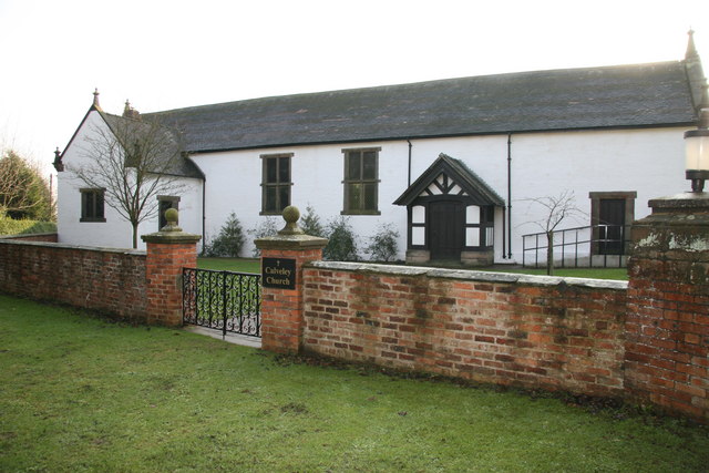
Calveley Church

Calveley Church is in the village of Calveley, Cheshire, England. It is an active Anglican church in the parish of St Boniface, Bunbury, the deanery of...

Travellers Rest, Alpraham

The Travellers Rest is a public house at Alpraham, near Tarporley, in Cheshire, England. It is on the Campaign for Real Ale's National Inventory of Historic...
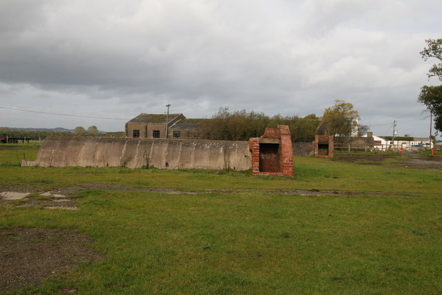
RAF Calveley

Royal Air Force Calveley or more simply RAF Calveley is a former Royal Air Force station near Nantwich, Cheshire. == History == In December 1940, it was...

Mark III (radio telescope)

The Mark III was a portable and fully steerable radio telescope located at Wardle, near Nantwich, Cheshire in the north-west of England. Constructed in...

Nearby Amenities

Located within 500m of 53.127925,-2.611964
Barrier: stile
Lat/Long: 53.1304954/-2.6168825
Barrier: stile
Foot: yes
Lat/Long: 53.1271581/-2.6104134
Barrier: stile
Foot: yes
Lat/Long: 53.1284865/-2.6051046
Calveley
Historic Railway: station
Old Name: Highwayside
Railway: site
Wikidata: Q15206901
Wikipedia: en:Calveley railway station
Lat/Long: 53.1246597/-2.6111898
Bus Stop
Calveley, Nantwich Road / Old Davenport Arms
Alt Name: Calveley Davenport Arms
Bus: yes
Naptan AltCommonName: Calveley Davenport Arms
Naptan AtcoCode: 0600CR448
Naptan Bearing: NW
Naptan CommonName: Old Davenport Arms
Naptan Crossing: Station Road
Naptan Indicator: opp
Naptan Landmark: Davenport Arms
Naptan LocalityName: Calveley
Naptan NaptanCode: cheamja
Naptan ShortCommonName: Davenport Arms
Naptan Street: Nantwich Road
Naptan Verified: no
Network: Cheshire East Council
Note: nudged on basis of GPS survey
Operator: Ansa Transport
Public Transport: platform
Source: naptan_import
Lat/Long: 53.1260377/-2.6131057
Bus Stop
Calveley, Nantwich Road / Manor Fields
Alt Name: Calveley Davenport Arms
Bus: yes
Naptan AltCommonName: Calveley Davenport Arms
Naptan AtcoCode: 0600CR449
Naptan Bearing: SE
Naptan CommonName: Manor Fields
Naptan Indicator: o/s
Naptan Landmark: Davenport Arms
Naptan LocalityName: Calveley
Naptan NaptanCode: cheamjd
Naptan ShortCommonName: Davenport Arms
Naptan Street: Nantwich Road
Naptan Verified: no
Network: Cheshire East Council
Operator: Ansa Transport
Public Transport: platform
Source: naptan_import
Lat/Long: 53.126711/-2.613541
Bus Stop
Barrets Green, Nantwich Road / Long Lane
Bus: yes
Naptan AtcoCode: 0600CR450
Naptan Bearing: N
Naptan CommonName: Long Lane
Naptan Crossing: Long Lane
Naptan Indicator: opp
Naptan Landmark: Long Lane
Naptan LocalityName: Barrets Green
Naptan NaptanCode: chejwjm
Naptan ShortCommonName: Long Lane
Naptan Street: Nantwich Road
Naptan Verified: no
Network: Cheshire East Council
Operator: Ansa Transport
Public Transport: platform
Source: naptan_import
Lat/Long: 53.1282922/-2.6140694
Bus Stop
Barrets Green, Nantwich Road / Long Lane
Bus: yes
Naptan AtcoCode: 0600CR451
Naptan Bearing: S
Naptan CommonName: Long Lane
Naptan Crossing: Long Lane
Naptan Indicator: nr
Naptan Landmark: Long Lane
Naptan LocalityName: Barrets Green
Naptan NaptanCode: chejwjp
Naptan ShortCommonName: Long Lane
Naptan Street: Nantwich Road
Naptan Verified: no
Network: Cheshire East Council
Operator: Ansa Transport
Public Transport: platform
Source: naptan_import
Lat/Long: 53.1283113/-2.6138455
Post Box
Ref: CW6 204
Lat/Long: 53.1258276/-2.6125204
Barrier: stile
Foot: yes
Lat/Long: 53.1268135/-2.6108898
Barrier: stile
Foot: yes
Lat/Long: 53.1270438/-2.6105694
Speed Camera
Lat/Long: 53.1278792/-2.6140784
Barrier: stile
Foot: yes
Lat/Long: 53.1284339/-2.6053715
Barrier: stile
Foot: yes
Lat/Long: 53.1318779/-2.6155288
Barrier: stile
Foot: yes
Lat/Long: 53.1318568/-2.6113152
Barrier: stile
Foot: yes
Lat/Long: 53.130713/-2.606334
Barrier: kissing_gate
Source: survey
Lat/Long: 53.1247739/-2.6155848
Generator Method: photovoltaic
Generator Output Electricity: yes
Generator Source: solar
Generator Type: solar_photovoltaic_panel
Location: roof
Power: generator
Source: survey
Lat/Long: 53.1261465/-2.6129479
Generator Method: photovoltaic
Generator Output Electricity: yes
Generator Source: solar
Generator Type: solar_photovoltaic_panel
Location: roof
Power: generator
Source: survey
Lat/Long: 53.1261127/-2.6128916
Generator Method: photovoltaic
Generator Output Electricity: yes
Generator Source: solar
Generator Type: solar_photovoltaic_panel
Location: roof
Power: generator
Source: survey
Lat/Long: 53.1260547/-2.6128111
Generator Method: photovoltaic
Generator Output Electricity: yes
Generator Source: solar
Generator Type: solar_photovoltaic_panel
Location: roof
Power: generator
Source: survey
Lat/Long: 53.1259533/-2.6126234
Generator Method: photovoltaic
Generator Output Electricity: yes
Generator Source: solar
Generator Type: solar_photovoltaic_panel
Location: roof
Power: generator
Source: survey
Lat/Long: 53.1258982/-2.6125496
Generator Method: photovoltaic
Generator Output Electricity: yes
Generator Source: solar
Generator Type: solar_photovoltaic_panel
Location: roof
Power: generator
Source: survey
Lat/Long: 53.1262788/-2.6125697
Generator Method: photovoltaic
Generator Output Electricity: yes
Generator Source: solar
Generator Type: solar_photovoltaic_panel
Location: roof
Power: generator
Source: survey
Lat/Long: 53.1252765/-2.6113708
Waste: trash
Lat/Long: 53.1239762/-2.6109467
Toilets
Access: customers
Lat/Long: 53.1238129/-2.6107704
Waterway: sanitary_dump_station
Lat/Long: 53.1237887/-2.6107295
Waterway: water_point
Lat/Long: 53.1237479/-2.6106909
Waterway: water_point
Lat/Long: 53.123874/-2.6109343
Bus Stop
Calveley, Station Road
Bus: yes
Public Transport: platform
Lat/Long: 53.1258883/-2.6126245
The data included in this document is from www.openstreetmap.org. The data is made available under ODbL.

Have you been to Barrets Green?

Leave your review of Barrets Green below (or comments, questions and feedback).