Barrasford
Settlement in Northumberland
England
Barrasford
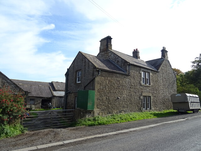
Barrasford is a small village located in the county of Northumberland, in the northeast of England. Situated approximately 14 miles west of Hexham, it is nestled in the picturesque Tyne Valley, surrounded by rolling hills and scenic countryside.
The village is home to a tight-knit community, with a population of around 300 residents. It offers a peaceful and idyllic lifestyle, attracting those who appreciate the tranquility of rural living. Barrasford boasts a rich history, with evidence of human settlement dating back to the Bronze Age. The area is dotted with historical sites, including the remains of a Roman fort and an ancient church, St. Bartholomew's, which dates back to the 12th century.
Despite its small size, Barrasford offers a range of amenities to its residents. There is a local pub, The Barrasford Arms, which serves as a social hub and offers traditional pub fare. The village also has a primary school, providing education for children in the local area.
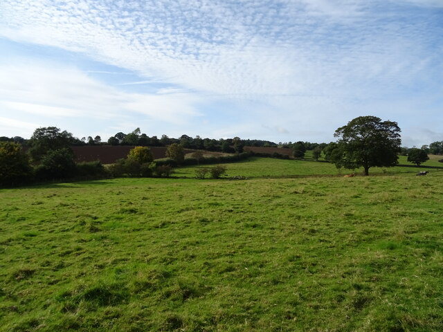
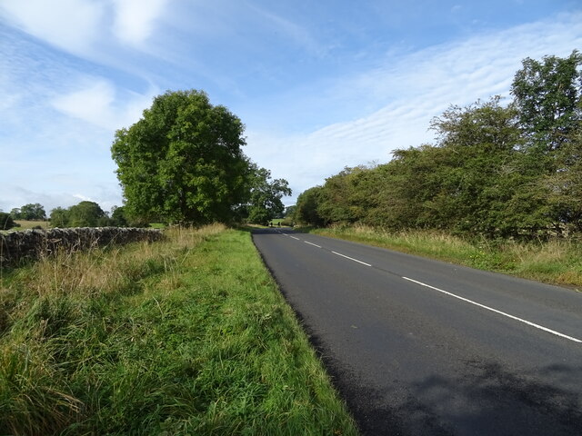
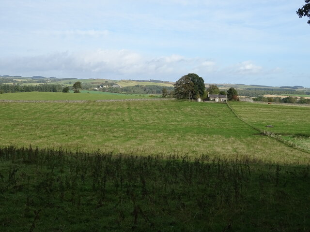
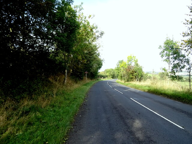
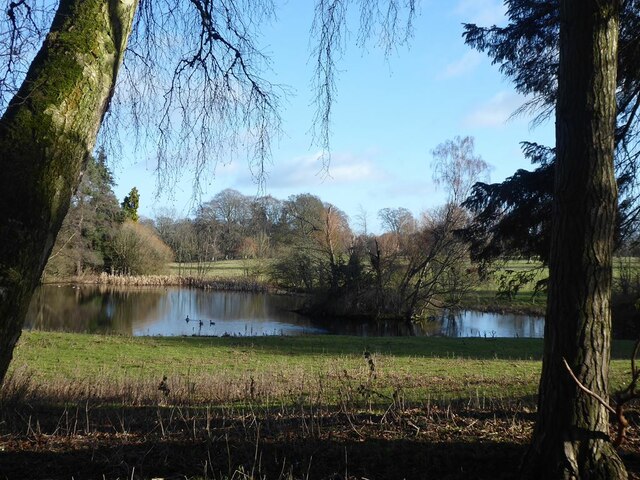
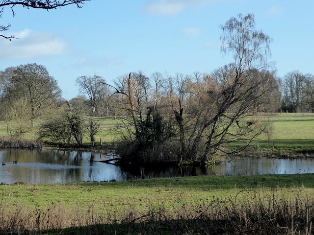
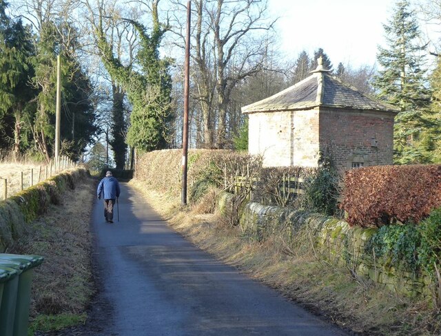
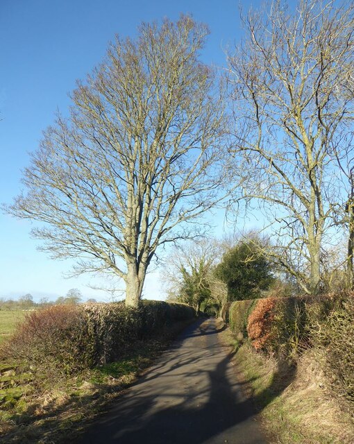
The surrounding countryside provides ample opportunities for outdoor activities, such as hiking, cycling, and fishing. The nearby River Tyne is renowned for its salmon and trout, attracting anglers from far and wide. Additionally, the surrounding area is dotted with charming villages and historic landmarks, making Barrasford an ideal base for exploring Northumberland's rich heritage.
Overall, Barrasford offers a peaceful and historic setting, making it an attractive destination for those seeking a quiet rural lifestyle amidst the beauty of Northumberland's countryside.
If you have any feedback on the listing, please let us know in the comments section below.
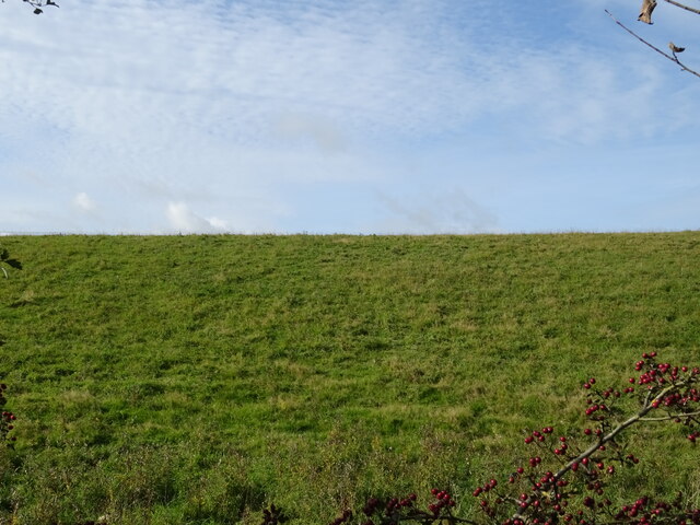
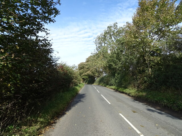
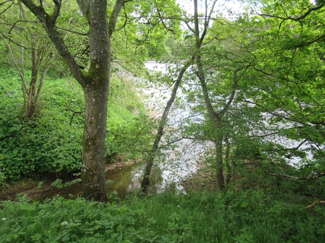
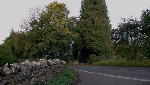
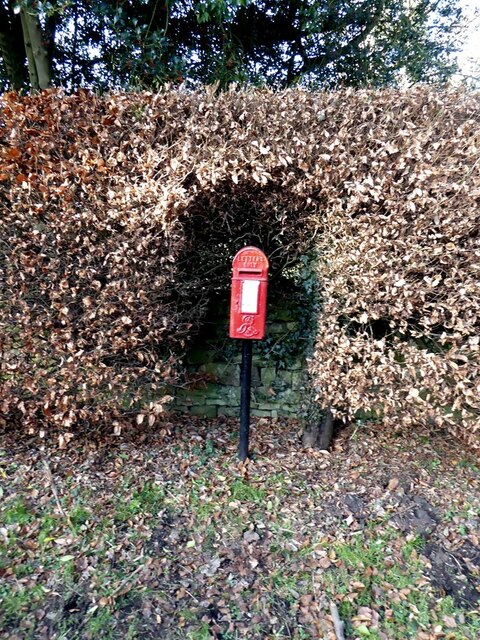
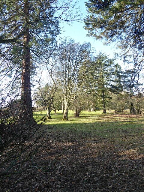
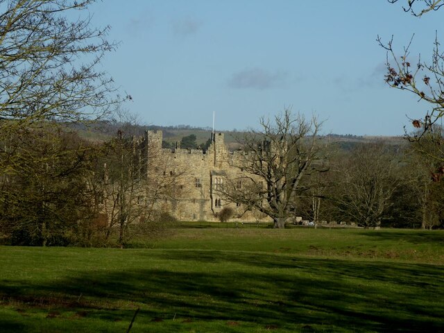
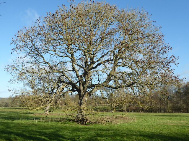
Barrasford Images
Images are sourced within 2km of 55.054767/-2.136154 or Grid Reference NY9173. Thanks to Geograph Open Source API. All images are credited.
Barrasford is located at Grid Ref: NY9173 (Lat: 55.054767, Lng: -2.136154)
Unitary Authority: Northumberland
Police Authority: Northumbria
What 3 Words
///hurricane.tortoises.ruin. Near Birtley, Northumberland
Nearby Locations
Related Wikis

Barrasford
Barrasford is a village in Northumberland, England. It is situated to the north of Hexham, on the North Tyne. Barrasford is an ancient village that lies...
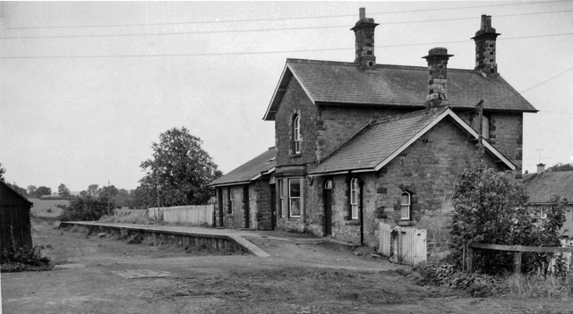
Barrasford railway station
Barrasford railway station served the village of Barrasford, Northumberland, England from 1859 to 1958 on the Border Counties Railway. == History == The...
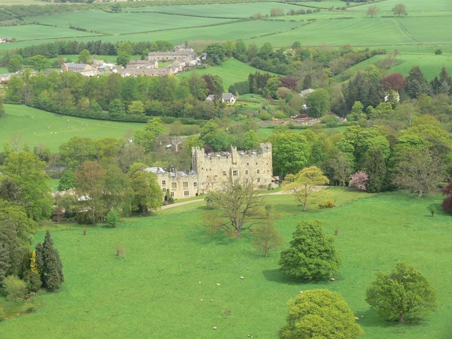
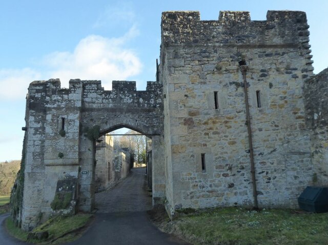
Haughton Castle
Haughton Castle is a privately owned country mansion and Grade I listed building, situated to the north of the village of Humshaugh on the west bank of...

Tynedale
Tynedale was a local government district in Northumberland, England. The district had a resident population of 58,808 according to the 2001 census. The...

Chollerton railway station
Chollerton railway station served the village of Chollerton, Northumberland, England from 1859 to 1958 on the Border Counties Railway. == History == The...

Chollerton
Chollerton is a village in Northumberland, England, on the A6079 road about six miles (10 km) to the north of Hexham, on the River North Tyne. Nearby villages...

Humshaugh
Humshaugh () is a parish near Hexham in Northumberland, England. The village had a population of 622 in the 2011 census, and is just north of Chollerford...

Hadrian's Wall Path
Hadrian's Wall Path is a long-distance footpath in the north of England, which became the 15th National Trail in 2003. It runs for 84 miles (135 km), from...
Nearby Amenities
Located within 500m of 55.054767,-2.136154Have you been to Barrasford?
Leave your review of Barrasford below (or comments, questions and feedback).