Ash Combe

Valley in Somerset Somerset West and Taunton

England

Ash Combe

On Winsford Hill
On Winsford Hill Credit: David Martin

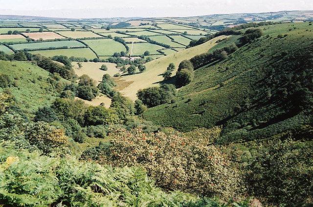
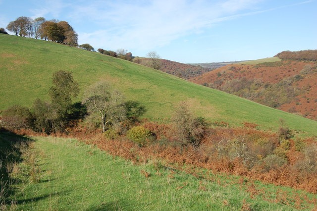
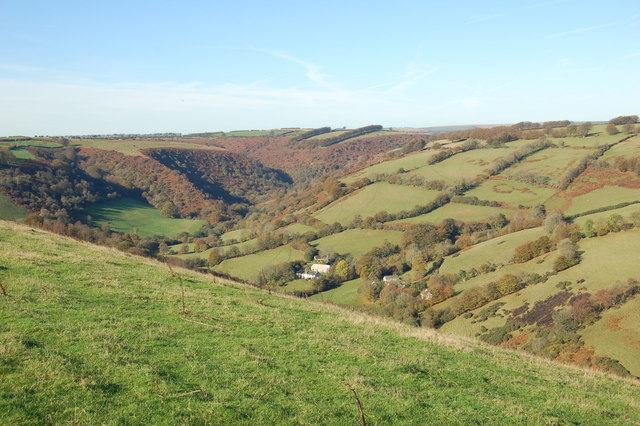
Ash Combe is a picturesque valley located in the county of Somerset, England. Nestled amidst the rolling hills of the Quantock Hills Area of Outstanding Natural Beauty, it is a haven for nature lovers and outdoor enthusiasts.

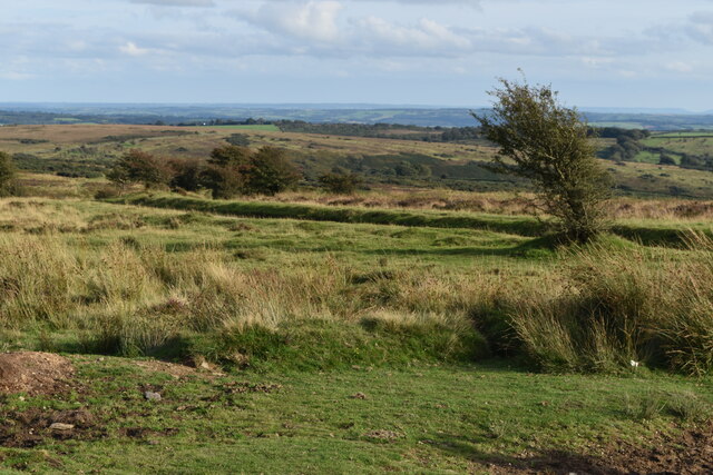
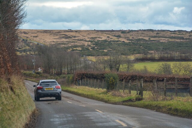
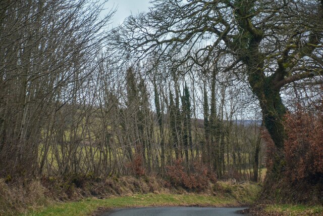
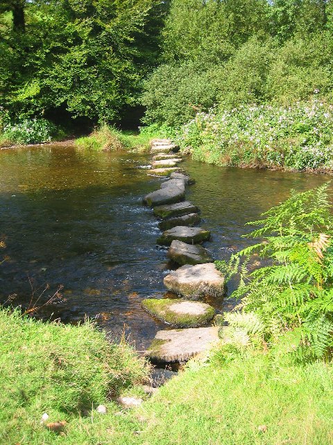
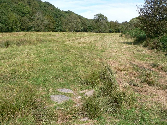
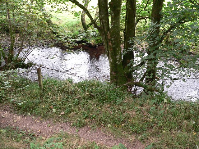
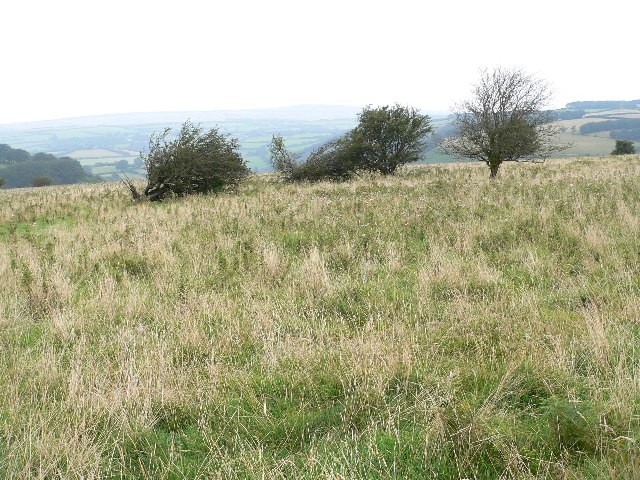
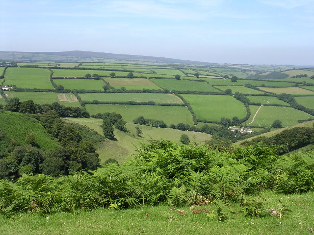
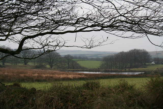
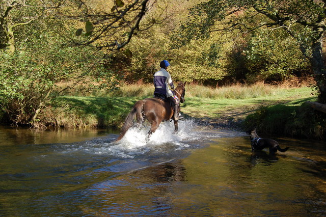
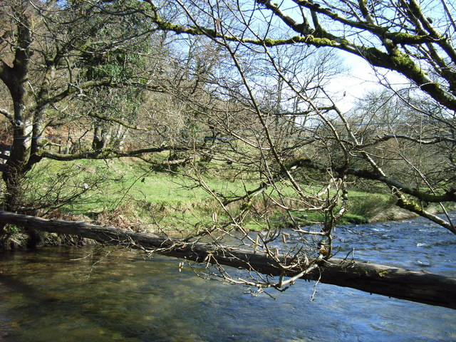
The valley is characterized by its lush green meadows, ancient woodlands, and a meandering river that flows through its heart. The landscape is dotted with charming villages and farms, which add to the overall rural charm of the area.

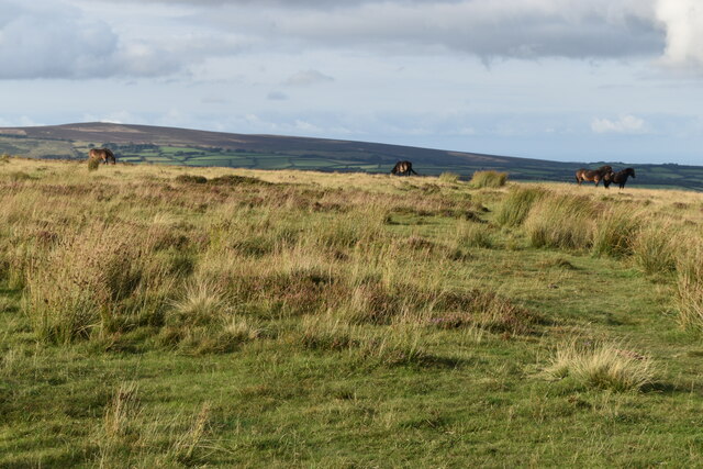
Ash Combe is renowned for its diverse wildlife and is home to a variety of species. Visitors can spot deer, badgers, foxes, and a wide array of birds in the valley. The woodlands are particularly enchanting, with ancient oak and beech trees creating a tranquil and magical atmosphere.

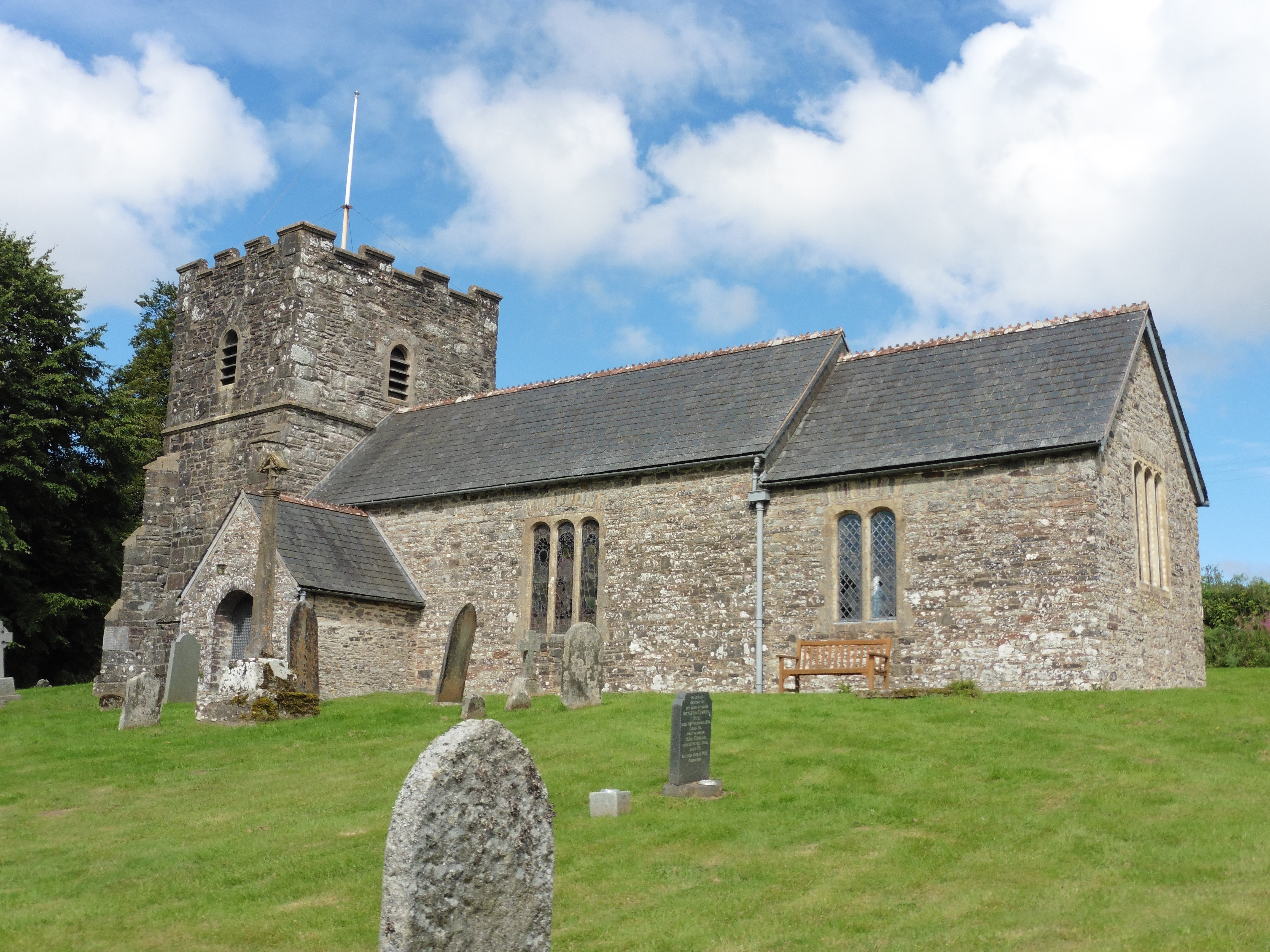
The valley also boasts a rich historical heritage. It is dotted with historic buildings and landmarks, including the impressive St. Mary's Church, which dates back to the 12th century. The area has been inhabited since ancient times, and evidence of human settlements from the Iron Age and Roman periods can still be found.

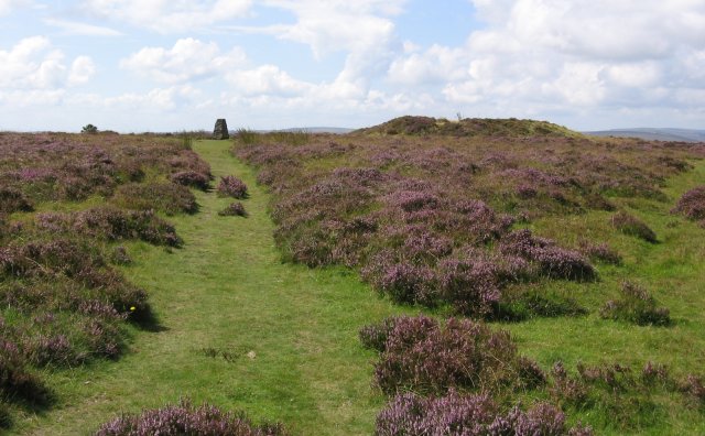
For outdoor enthusiasts, Ash Combe offers a plethora of activities. Hiking and walking trails crisscross the valley, providing breathtaking views of the surrounding countryside. The river is perfect for kayaking and fishing, while the surrounding hills offer ample opportunities for cycling and horse riding.

Overall, Ash Combe is a hidden gem in Somerset, offering a harmonious blend of natural beauty, wildlife, and history. It is a place where visitors can escape the hustle and bustle of modern life and immerse themselves in the tranquility of the countryside.

If you have any feedback on the listing, please let us know in the comments section below.
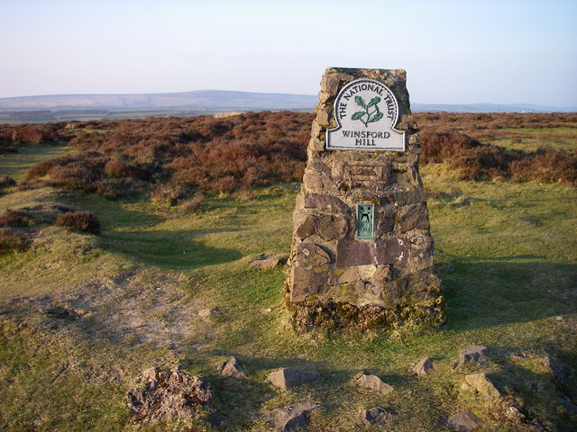
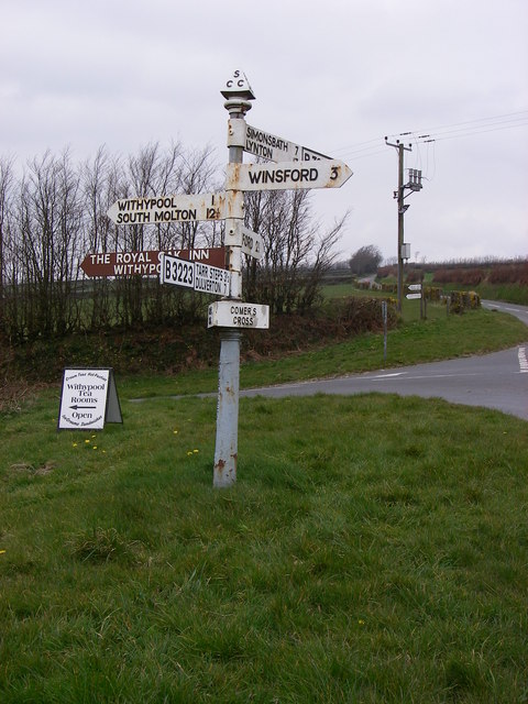
Ash Combe Images

Images are sourced within 2km of 51.1027/-3.6112401 or Grid Reference SS8734. Thanks to Geograph Open Source API. All images are credited.

On Winsford Hill
On Winsford Hill
Near the summit of Winsford Hill
Winsford : Room Hill Road B3223 Looking along the country road heading over the Exmoor National Park.
Winsford : Room Hill Road B3223
Looking along the country road heading over the Exmoor National Park.
Winsford : Ash Lane Looking along Ash Lane.
Winsford : Ash Lane
Looking along Ash Lane.
Winsford: the Punchbowl from Winsford Hill Looking north-north-east to Withycombe Farm
Winsford: the Punchbowl from Winsford Hill
Looking north-north-east to Withycombe Farm
Stepping Stones across River Barle Taken South East of Withypool, looking West.
Stepping Stones across River Barle
Taken South East of Withypool, looking West.
Grassland by River Barle Taken from Two Moors Way, looking North with river hidden on left of photo.
Grassland by River Barle
Taken from Two Moors Way, looking North with river hidden on left of photo.
River Exe at Nethercote Taken on south side of the river.
River Exe at Nethercote
Taken on south side of the river.
Moorland Above Curr Cleave Curr Cleave drops down to the River Exe.
Moorland Above Curr Cleave
Curr Cleave drops down to the River Exe.
Trig Point, Winsford Hill Trig Point & one of the Wambarrows
Trig Point, Winsford Hill
Trig Point & one of the Wambarrows
Punchbowl from Winsford Hill
Withypoole and Hawkridge: Bradley Pond The pond originally covered 5.5 acres and had a massive earth dam 220 yards long, since breached. It’s water once powered a 16’ diameter waterwheel at Great Bradley – at SS858341 – via an 850 yard long leat. The barns there have since been converted to homes
Withypoole and Hawkridge: Bradley Pond
The pond originally covered 5.5 acres and had a massive earth dam 220 yards long, since breached. It’s water once powered a 16’ diameter waterwheel at Great Bradley – at SS858341 – via an 850 yard long leat. The barns there have since been converted to homes
Crossing the Exe near West Nethercote The river can get quite deep at during the winter months.
Crossing the Exe near West Nethercote
The river can get quite deep at during the winter months.
Bridleway heading down to Neathercote The circular green markings on the hill are quite curious.
Bridleway heading down to Neathercote
The circular green markings on the hill are quite curious.
The River Exe valley from Bye Common looking N.W. The group of cottages are West and East Nethercote
The River Exe valley from Bye Common looking N.W.
The group of cottages are West and East Nethercote
River Exe Log Bridge, Nr West Nethercote, Exmoor An alternative river crossing method for those who are agile - the two blue ropes for hand-holds are just visible.
River Exe Log Bridge, Nr West Nethercote, Exmoor
An alternative river crossing method for those who are agile - the two blue ropes for hand-holds are just visible.
Winsford Hill trig point The OS map gives the height at this location as 426 (428) referring in the first instance to the height of the base of the trig point (in metres) and secondly to the highest 'natural point of the hill' which I take to be the easternmost of the three 'Wambarrows' which looms that height over the trig point.  

Winsford Hill is notable for The Punchbowl at <a href="https://www.geograph.org.uk/gridref/SS8834">SS8834</a> which may be the only glacial cirque in south-west England - the snows which led to its creation during the Ice Age(s) having blown across the open top of Winsford Hill into the lee on its NE side.
Winsford Hill trig point
The OS map gives the height at this location as 426 (428) referring in the first instance to the height of the base of the trig point (in metres) and secondly to the highest 'natural point of the hill' which I take to be the easternmost of the three 'Wambarrows' which looms that height over the trig point. Winsford Hill is notable for The Punchbowl at SS8834 which may be the only glacial cirque in south-west England - the snows which led to its creation during the Ice Age(s) having blown across the open top of Winsford Hill into the lee on its NE side.
Comer's Cross Multi-fingered directional signs are characteristic of the area - this one can be readily located from the various destinations it carries.
Comer's Cross
Multi-fingered directional signs are characteristic of the area - this one can be readily located from the various destinations it carries.
Show me another place!

Ash Combe is located at Grid Ref: SS8734 (Lat: 51.1027, Lng: -3.6112401)

Administrative County: Somerset

District: Somerset West and Taunton

Police Authority: Avon and Somerset

What 3 Words

///swooning.thud.donates. Near Dulverton, Somerset

Related Wikis

Have you been to Ash Combe?

Leave your review of Ash Combe below (or comments, questions and feedback).