Cwm Nantypistyll

Valley in Brecknockshire

Wales

Cwm Nantypistyll

Pentref Llywel Village Rhes o dai ym mhentref bach Llywel. Y ty cyntaf ar y dde yw hen dafarn y Cross Keys (caewyd oddeutu 1925). 

A row of houses in the tiny village of Llywel. The first house on the right is the former Cross Keys Inn (closed c1925).
Pentref Llywel Village Credit: Alan Richards

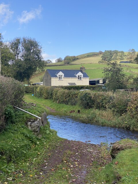
Cwm Nantypistyll, located in Brecknockshire, is a picturesque valley nestled amidst the scenic landscapes of Wales. Situated in the northern part of the county, this stunning valley is renowned for its natural beauty and captivating surroundings.

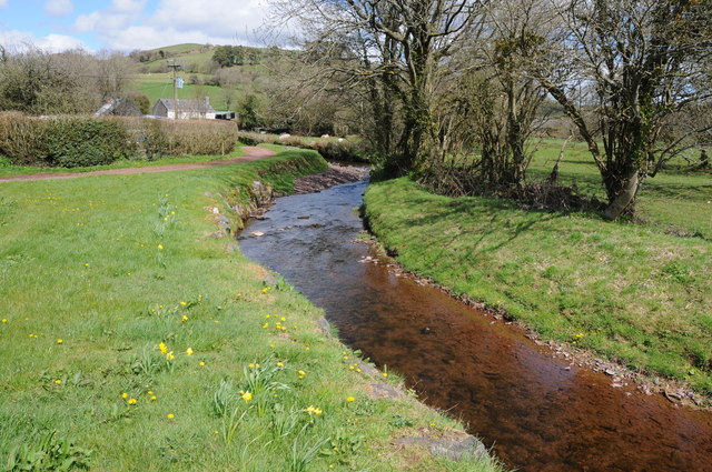
The name Cwm Nantypistyll translates to "valley of the waterfall," which aptly describes one of its main attractions. A majestic waterfall, known as Pistyll Rhaeadr, cascades down the rocks and adds to the enchanting atmosphere of the valley. This waterfall, one of the tallest in the United Kingdom, is a popular destination for tourists and nature enthusiasts.

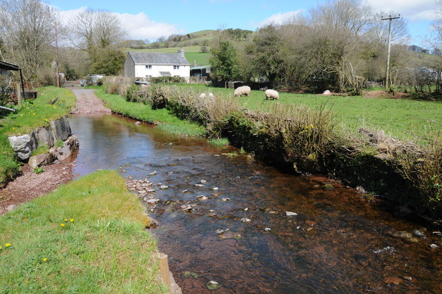
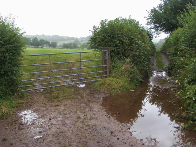
The valley is characterized by lush greenery, rolling hills, and meandering streams. It is home to a diverse range of flora and fauna, including rare species of plants and animals. The tranquil surroundings make it an ideal spot for hiking, nature walks, and birdwatching.

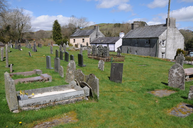
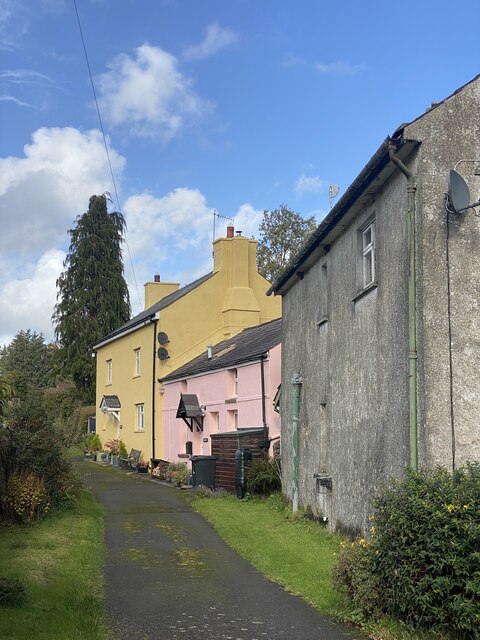
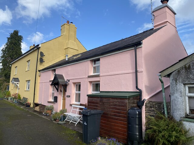
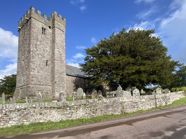
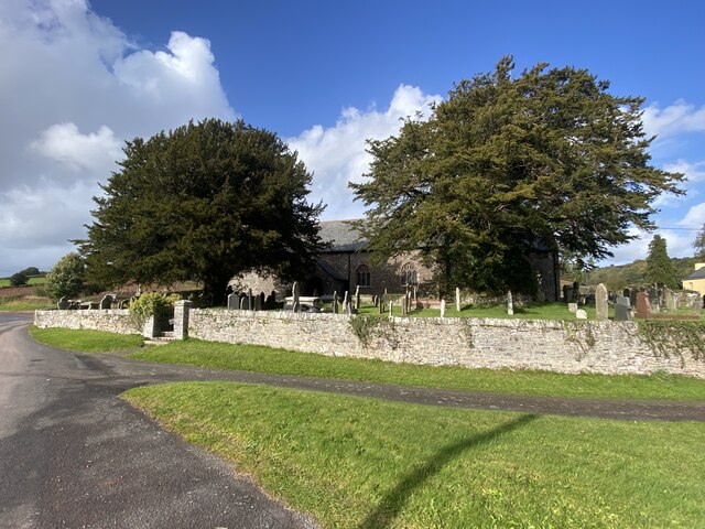
Cwm Nantypistyll is also steeped in history and has a rich cultural heritage. The area is dotted with ancient ruins and historical sites, providing a glimpse into its past. Visitors can explore remnants of old dwellings, ancient burial mounds, and even medieval castles.

Throughout the year, the valley hosts various events and festivals, showcasing the vibrant local culture. Visitors can indulge in traditional music, arts, and crafts, as well as savor the local cuisine.

In conclusion, Cwm Nantypistyll is a captivating valley in Brecknockshire, Wales, known for its stunning waterfall, breathtaking landscapes, and historical sites. It offers a perfect retreat for those seeking tranquility and a deep connection with nature.

If you have any feedback on the listing, please let us know in the comments section below.

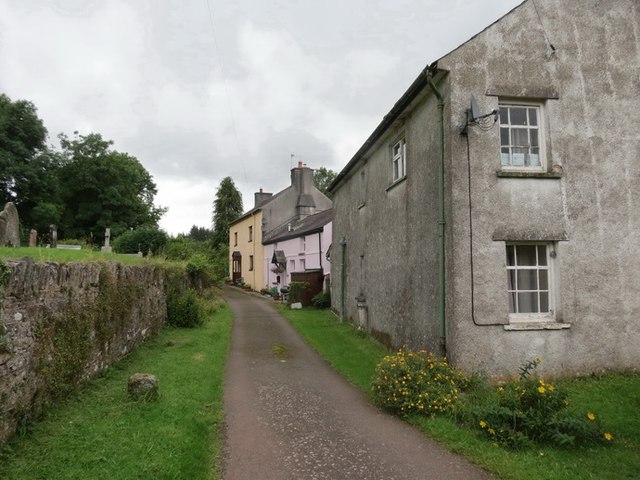
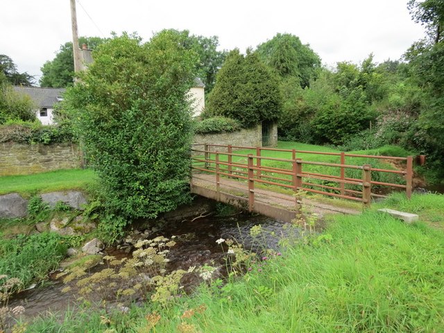
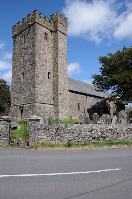
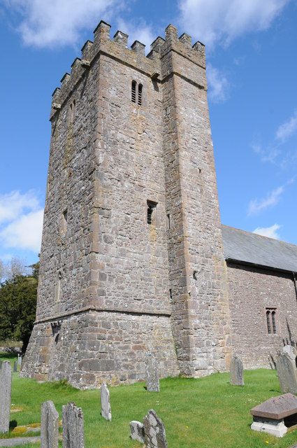
Cwm Nantypistyll Images

Images are sourced within 2km of 51.943939/-3.6413341 or Grid Reference SN8728. Thanks to Geograph Open Source API. All images are credited.

Pentref Llywel Village Rhes o dai ym mhentref bach Llywel. Y ty cyntaf ar y dde yw hen dafarn y Cross Keys (caewyd oddeutu 1925). 

A row of houses in the tiny village of Llywel. The first house on the right is the former Cross Keys Inn (closed c1925).
Pentref Llywel Village
Rhes o dai ym mhentref bach Llywel. Y ty cyntaf ar y dde yw hen dafarn y Cross Keys (caewyd oddeutu 1925). A row of houses in the tiny village of Llywel. The first house on the right is the former Cross Keys Inn (closed c1925).
Pontdroed Llywel /Llywel footbridge Pontdroed yn rhychwantu Nant Gwydderig yn Llywel

A footbridge spanning the Gwydderig stream, Llywel.
Pontdroed Llywel /Llywel footbridge
Pontdroed yn rhychwantu Nant Gwydderig yn Llywel A footbridge spanning the Gwydderig stream, Llywel.
St David's church, Llywel St David's church, Llywel from the route of the old A40 before it was straightened.
St David's church, Llywel
St David's church, Llywel from the route of the old A40 before it was straightened.
Tower of Llywel church Tower of St David's church, Llywel.
Tower of Llywel church
Tower of St David's church, Llywel.
Nant Gwydderig Nant Gwydderig flowing through Llywel.
Nant Gwydderig
Nant Gwydderig flowing through Llywel.
Ford on Nant Gwydderig
Churchyard in Llywel
Ordnance Survey 1GL Bolt This OS Bolt can be found on the tower of St David's Church. It marks a point 230.5724m above mean sea level.
Ordnance Survey 1GL Bolt
This OS Bolt can be found on the tower of St David's Church. It marks a point 230.5724m above mean sea level.
Across the ford to Brookside Nant Gwydderig flows west from here towards Llandovery where it joins the Tywi and flows onwards past Carmarthen to the sea.  Rain falling the other side of Brookside joins Nant Logyn which flows south east into the Usk at Trecastle and flows onwards to Newport. Small margins, large outcomes.
Across the ford to Brookside
Nant Gwydderig flows west from here towards Llandovery where it joins the Tywi and flows onwards past Carmarthen to the sea. Rain falling the other side of Brookside joins Nant Logyn which flows south east into the Usk at Trecastle and flows onwards to Newport. Small margins, large outcomes.
Old lane in Llywel The lane leads towards Y Bwthyn (pink) and Ty Mawr (yellow).
Old lane in Llywel
The lane leads towards Y Bwthyn (pink) and Ty Mawr (yellow).
Ty Mawr and Y Bwthyn, Llywel
St David’s Church, Llywel
Two old yew trees In the churchyard of St David’s, Llywel.
Two old yew trees
In the churchyard of St David’s, Llywel.
Cycle route down to A40 A wet start to the cycle route down to A40
Cycle route down to A40
A wet start to the cycle route down to A40
St. David's Church at Llywel St. David's Church stands in the extreme south-east of this grid-square at the foot of the military road leading onto the Epynt Ranges and can be seen from the A40. The current building is largely 15th Century, but contains earlier elements, including a pre-Norman font.  According to legend, the church was founded in the sixth century by saint Llywel, a disciple of St. Teilo and was originally dedicated to Ss. David, Darn and Teilo. It is mentioned by Gerald of Wales for having been burnt down in the late twelfth century.
St. David's Church at Llywel
St. David's Church stands in the extreme south-east of this grid-square at the foot of the military road leading onto the Epynt Ranges and can be seen from the A40. The current building is largely 15th Century, but contains earlier elements, including a pre-Norman font. According to legend, the church was founded in the sixth century by saint Llywel, a disciple of St. Teilo and was originally dedicated to Ss. David, Darn and Teilo. It is mentioned by Gerald of Wales for having been burnt down in the late twelfth century.
St David's Church, Llywell The 15th century church of St David hides behind two very old yew trees.
St David's Church, Llywell
The 15th century church of St David hides behind two very old yew trees.
Tower, St David's Church, Llywell The present building is a largely fifteenth century structure.  The tall west tower has an embattled parapet and a projecting stair turret.
Tower, St David's Church, Llywell
The present building is a largely fifteenth century structure. The tall west tower has an embattled parapet and a projecting stair turret.
Churchyard, St David's Church In the churchyard are many old and interesting graves.
Churchyard, St David's Church
In the churchyard are many old and interesting graves.
Show me another place!

Cwm Nantypistyll is located at Grid Ref: SN8728 (Lat: 51.943939, Lng: -3.6413341)

Unitary Authority: Powys

Police Authority: Dyfed Powys

What 3 Words

///gems.intro.trainers. Near Cray, Powys

Nearby Locations

Cwm Nantypistyll

Related Wikis

Bishops Town

Bishops Town (Welsh: Tre'r Esgob) is an area in the community of Llywel, Powys, Wales, which is 38 miles (61 km) from Cardiff and 153 miles (246 km) from...

Castle Tump

Castle Tump (Trecastle Motte) is an early 11th-century motte and bailey castle in Trecastle, Powys, Wales. == History == This early 11th-century Norman...

Trecastle

Trecastle (Welsh: Trecastell) ("the town of the castle") is a village in Powys, Wales, situated on the edge of the Brecon Beacons National Park (Welsh...

Llywel

Llywel () is a small village located on the A40, about 4 miles (6.4 km) west of Sennybridge in Brecknockshire (currently administered as part of the unitary...

Afon Hydfer

The Afon Hydfer is a short river in Powys in the west of the Brecon Beacons National Park, south Wales. Its headwaters rise on the northeastern slopes...

Caeau Bronydd-mawr

Caeau Bronydd-mawr is a Site of Special Scientific Interest in Brecknock, Powys, Wales. It is a fen meadow, notable for its contrasting neutral and acid...

Cwmwysg

Cwmwysg (Welsh for "Usk valley") is a small rural community southwest of Trecastle in the valley of the Usk river, Powys, Wales. It includes the Saron...

Afon Crai

The Afon Crai is a river in Powys, Wales rising in the Fforest Fawr section of the Brecon Beacons National Park and flowing north into the River Usk....

Nearby Amenities

Located within 500m of 51.943939,-3.6413341
Place: farm
Lat/Long: 51.9463623/-3.6463773
Direction: 145
Generator Method: photovoltaic
Generator Output Electricity: yes
Generator Solar Modules: 16
Generator Source: solar
Generator Type: solar_photovoltaic_panel
Location: roof
Power: generator
Lat/Long: 51.9463985/-3.6464977
The data included in this document is from www.openstreetmap.org. The data is made available under ODbL.

Have you been to Cwm Nantypistyll?

Leave your review of Cwm Nantypistyll below (or comments, questions and feedback).