Lanehead

Settlement in Northumberland

England

Lanehead

Road on Thorneyburn Common Cul de sac road from Slaty Ford to Lanehead.
Road on Thorneyburn Common Credit: Oliver Dixon

Lanehead is a small village located in the county of Northumberland, in the northeast region of England. Situated approximately 10 miles west of Hexham, Lanehead is nestled in the beautiful countryside of the North Pennines Area of Outstanding Natural Beauty.

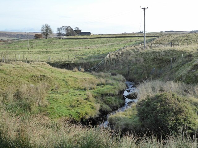
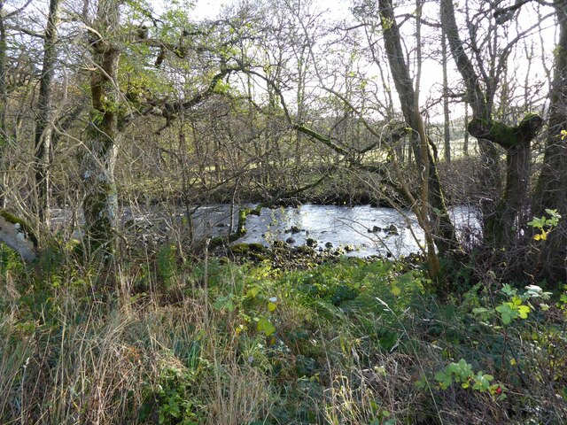
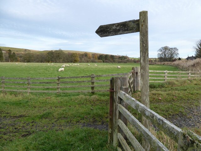
With a population of around 200 residents, Lanehead exudes a charming and tranquil atmosphere. The village is characterized by its picturesque surroundings, surrounded by rolling hills, lush green fields, and meandering rivers. The landscape offers breathtaking views and ample opportunities for outdoor activities such as hiking, cycling, and wildlife spotting.

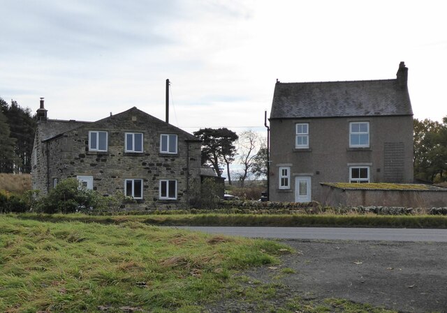
Lanehead is primarily a residential area, with a mix of traditional stone cottages and more modern housing. The village is well-connected to neighboring towns and villages, with good road links and public transportation options available.

Despite its small size, Lanehead boasts a strong community spirit, evidenced by the presence of a village hall and a local pub, where locals and visitors can socialize and enjoy a drink or a meal. The village also has a primary school, providing education for the younger residents.

For those seeking historical and cultural experiences, Lanehead is within easy reach of several attractions. Nearby Hexham Abbey, a stunning medieval church, and Hadrian's Wall, a UNESCO World Heritage Site, are both popular destinations for tourists and history enthusiasts.

Overall, Lanehead offers a peaceful and idyllic escape from the bustling city life, with its stunning natural surroundings and tight-knit community atmosphere.

If you have any feedback on the listing, please let us know in the comments section below.
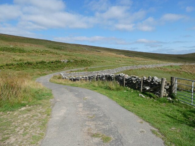
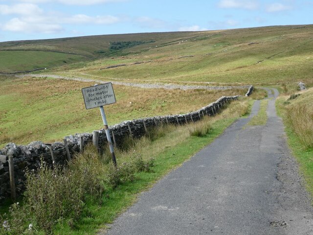
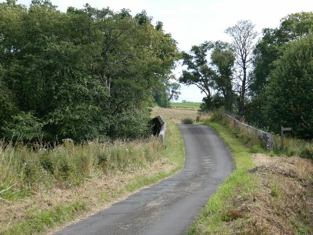
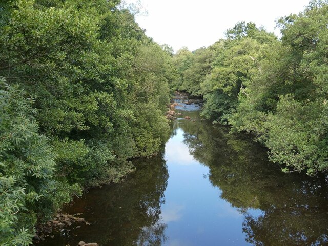
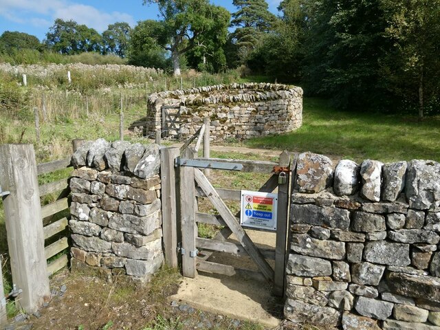
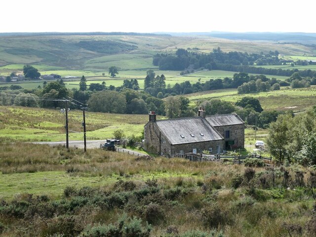
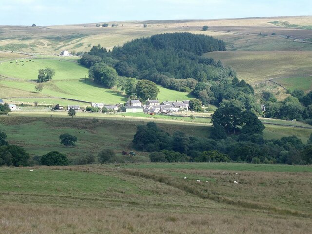
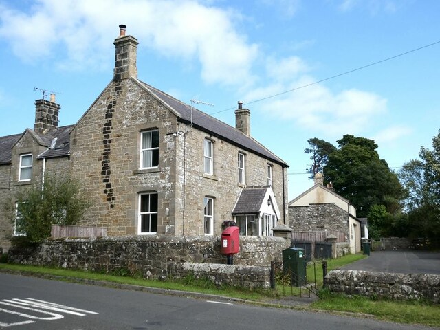
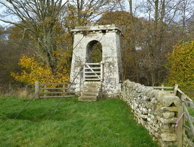
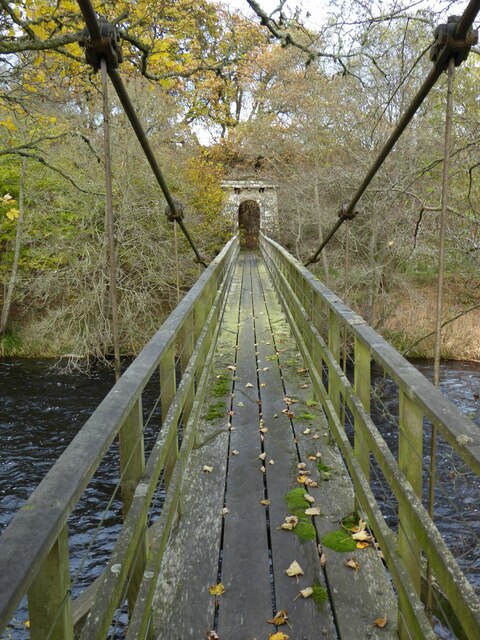
Lanehead Images

Images are sourced within 2km of 55.165651/-2.327882 or Grid Reference NY7985. Thanks to Geograph Open Source API. All images are credited.

Road on Thorneyburn Common Cul de sac road from Slaty Ford to Lanehead.
Road on Thorneyburn Common
Cul de sac road from Slaty Ford to Lanehead.
The road to Slaty Ford As the sign says "Road unfit for motor vehicles after 1 mile".
The road to Slaty Ford
As the sign says "Road unfit for motor vehicles after 1 mile".
Bridge over the Tarset Burn The road is followed by National Cycle Network route 10 (Reivers Route).
Bridge over the Tarset Burn
The road is followed by National Cycle Network route 10 (Reivers Route).
Tarset Burn Looking upstream.
Tarset Burn
Looking upstream.
Not a sheepfold! But a small sewage installation.
Not a sheepfold!
But a small sewage installation.
Rushend Farm North Tynedale in the middle distance.
Rushend Farm
North Tynedale in the middle distance.
Bullocks on Thorneyburn Common
A prospect of Greenhaugh Looking across Tarsetdale.
A prospect of Greenhaugh
Looking across Tarsetdale.
Bethel House in Thorneyburn.
Bethel
House in Thorneyburn.
Churchyard of St Aidan's, Thorneyburn
Houses at Lanehead
Houses at Lanehead
Burnbank Farm
Burnbank Farm
High Carriteth Burn With High Carriteth farm in the background.
High Carriteth Burn
With High Carriteth farm in the background.
Chirdon Burn Downstream from Dally Castle.
Chirdon Burn
Downstream from Dally Castle.
Hott Farm Overlooking the flood plain of the River North Tyne.
Hott Farm
Overlooking the flood plain of the River North Tyne.
Sign for Public Footpath To Thorneyburn Station on the now defunct railway.
Thorneyburn railway station served the village of Thorneyburn, Northumberland,  from 1861 to 1956 on the Border Counties Railway.
The footpath crosses an interesting suspension bridge over the River North Tyne.
Sign for Public Footpath
To Thorneyburn Station on the now defunct railway. Thorneyburn railway station served the village of Thorneyburn, Northumberland, from 1861 to 1956 on the Border Counties Railway. The footpath crosses an interesting suspension bridge over the River North Tyne.
Greystead Foot Bridge The bridge, which has one span, was completed in 1862. It is a Grade II listed structure. It was intended to connect communities on the south bank of the river with Thorneyburn railway station on the north side.
Thorneyburn railway station served the village of Thorneyburn, Northumberland, from 1861 to 1956 on the Border Counties Railway.
Greystead Foot Bridge
The bridge, which has one span, was completed in 1862. It is a Grade II listed structure. It was intended to connect communities on the south bank of the river with Thorneyburn railway station on the north side. Thorneyburn railway station served the village of Thorneyburn, Northumberland, from 1861 to 1956 on the Border Counties Railway.
Looking across Greystead Foot Bridge Over the River North Tyne.
Foot suspension bridge. Probably 1862. Ashlar, steel and wood. At each end a stone support tower with battered sides. Round-arched passage through each tower. Dentil cornices. Steel cables pass through the towers and support a wooden walkway with wooden railings.  Built to connect the south bank of the river to the railway which opened in 1862.
Looking across Greystead Foot Bridge
Over the River North Tyne. Foot suspension bridge. Probably 1862. Ashlar, steel and wood. At each end a stone support tower with battered sides. Round-arched passage through each tower. Dentil cornices. Steel cables pass through the towers and support a wooden walkway with wooden railings. Built to connect the south bank of the river to the railway which opened in 1862.
Show me another place!

Lanehead is located at Grid Ref: NY7985 (Lat: 55.165651, Lng: -2.327882)

Unitary Authority: Northumberland

Police Authority: Northumbria

What 3 Words

///aunts.nightlife.grafted. Near Bellingham, Northumberland

Related Wikis

Tarset

Tarset is a civil parish in Northumberland, England, created in 1955 from parts of Bellingham, Tarset West and Thorneyburn parishes. It is 4 miles (6 km...

Tarset Castle

Tarset Castle is a ruin near Tarset in Northumberland. == History == A licence to crenellate was granted to John Comyn in 1267, and the castle was built...

Tarset railway station

Tarset railway station served the civil parish of Tarset, Northumberland, England from 1862 to 1958 on the Border Counties Railway. == History == The station...

Charlton, Northumberland

Charlton is a village in Northumberland, England. It is about 1.5 miles (2.4 km) to the northwest of Bellingham, on the River North Tyne. == Governance... ==

Greystead

Greystead is a village and civil parish in Northumberland, England west of Bellingham. The population as of the 2011 census was less than 100. It shares...

Thorneyburn railway station

Thorneyburn railway station served the village of Thorneyburn, Northumberland, England from 1861 to 1956 on the Border Counties Railway. == History... ==

Charlton (Northumberland) railway station

Charlton railway station served the village of Charlton, Northumberland, England from 1861 to 1862 on the Border Counties Railway. == History == The station...

Dally Castle

Dally Castle is a ruined 13th-century stone motte-and-bailey fortress in Northumberland, and one of the first hall houses in Northumberland. It lies 5...

Nearby Amenities

Located within 500m of 55.165651,-2.327882
Lanehead
Place: hamlet
Lat/Long: 55.1654744/-2.3262581
Park Hill
Place: locality
Lat/Long: 55.1633295/-2.323611
Tarset Tor bunkhouse
Tourism: hostel
Website: https://www.tarset-tor.co.uk/
Lat/Long: 55.1654837/-2.3278482
Noexit: yes
Lat/Long: 55.1650887/-2.3263953
Power: pole
Lat/Long: 55.1613085/-2.3264824
Power: pole
Lat/Long: 55.1614679/-2.3275499
Power: pole
Lat/Long: 55.1616793/-2.3291485
Power: pole
Lat/Long: 55.1616334/-2.3304145
Booth: KX100
Covered: booth
Disused Amenity: telephone
Man Made: telephone_box
Lat/Long: 55.1624/-2.3328303
Community Centre
Tarset Village Hall
Addr City: Tarset
Addr County: Northumberland
Addr Postcode: NE48 1PA
Fhrs Id: 807298
Lat/Long: 55.1662439/-2.3261696
The data included in this document is from www.openstreetmap.org. The data is made available under ODbL.

Have you been to Lanehead?

Leave your review of Lanehead below (or comments, questions and feedback).