Tarset Castle

Heritage Site in Northumberland

England

Tarset Castle

Bridge over the Tarset Burn The road is followed by National Cycle Network route 10 (Reivers Route).
Bridge over the Tarset Burn Credit: Oliver Dixon

Tarset Castle, located in Northumberland, England, is a historic site that has stood as a testament to the region's rich past for over eight centuries. Situated on a hill overlooking the Tarset Valley, the castle holds significant historical and architectural value.

Originally constructed in the 14th century, Tarset Castle was built as a fortified tower house by the Heron family. Over the years, it underwent several modifications and expansions, reflecting the changing needs and tastes of its successive owners. The castle was strategically positioned to overlook the ancient route known as the Devil's Causeway, providing a vantage point for monitoring and defending against potential threats.

The castle's architecture showcases a blend of medieval and Renaissance styles, with its sturdy stone walls and imposing turrets. The interior features a Great Hall, where the lord and his family would have entertained guests and held important gatherings. Other notable features include a private chapel and living quarters for the lord and his household.

During its existence, Tarset Castle witnessed various historical events, including raids from Scottish border reivers and conflicts during the English Civil War. However, by the 17th century, the castle fell into disrepair and was eventually abandoned.

Today, Tarset Castle stands as a captivating ruin, attracting visitors interested in exploring its historical significance. The site offers a glimpse into the past, allowing visitors to imagine the lives of the castle's inhabitants and the turbulent times in which they lived. Surrounded by picturesque countryside, the castle provides a serene and evocative setting that transports visitors back in time.

If you have any feedback on the listing, please let us know in the comments section below.

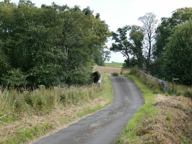
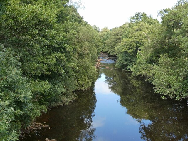
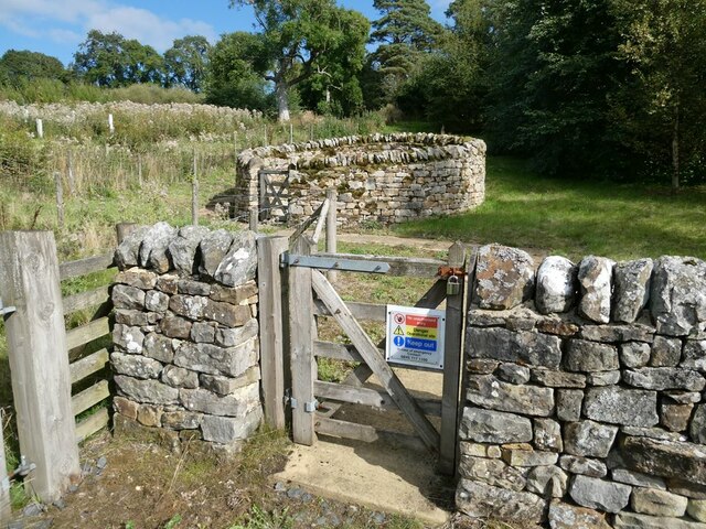
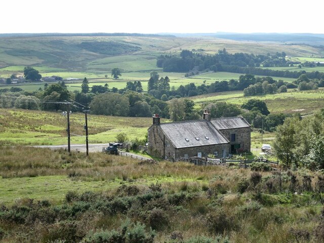
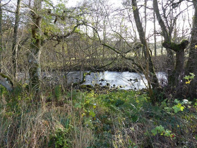
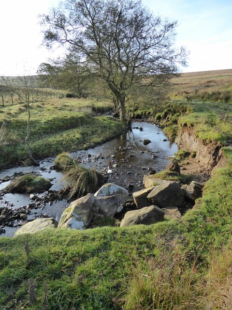
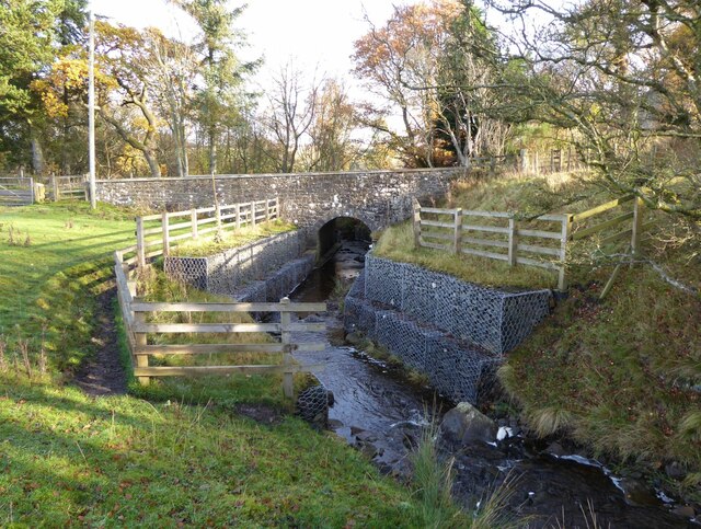
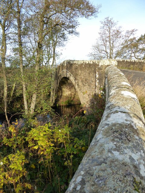
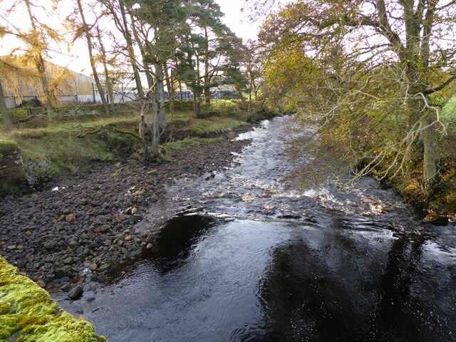
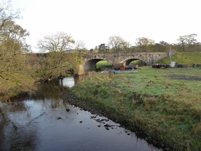
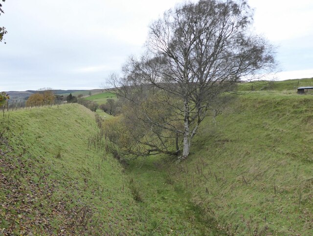
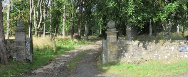
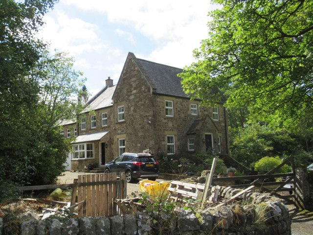
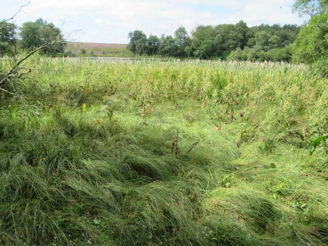
Tarset Castle Images

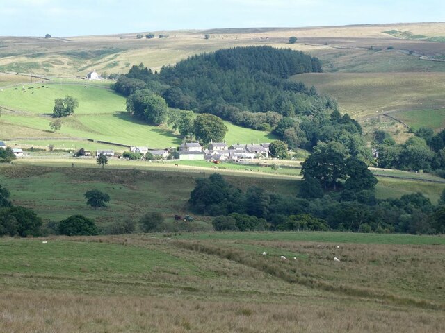
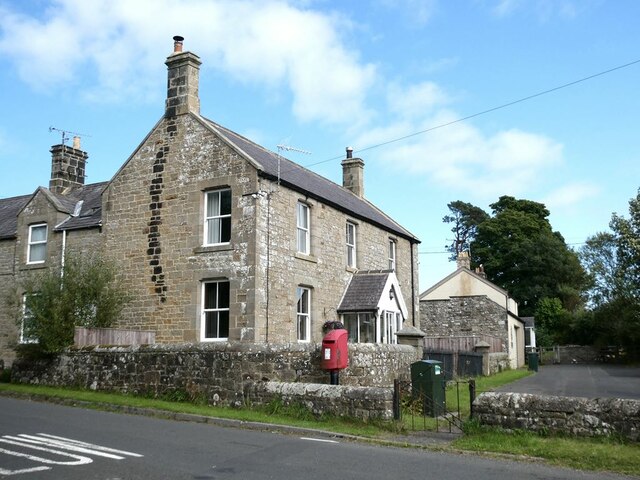
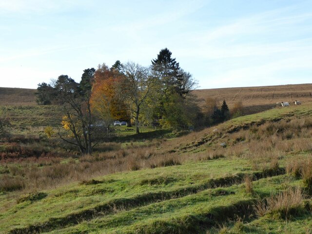
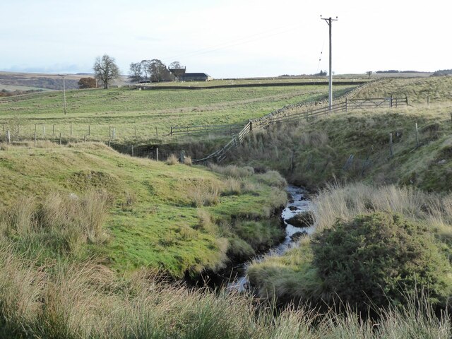
Images are sourced within 2km of 55.163/-2.322 or Grid Reference NY7985. Thanks to Geograph Open Source API. All images are credited.

Bridge over the Tarset Burn The road is followed by National Cycle Network route 10 (Reivers Route).
Bridge over the Tarset Burn
The road is followed by National Cycle Network route 10 (Reivers Route).
Tarset Burn Looking upstream.
Tarset Burn
Looking upstream.
Not a sheepfold! But a small sewage installation.
Not a sheepfold!
But a small sewage installation.
Rushend Farm North Tynedale in the middle distance.
Rushend Farm
North Tynedale in the middle distance.
A prospect of Greenhaugh Looking across Tarsetdale.
A prospect of Greenhaugh
Looking across Tarsetdale.
Houses at Lanehead
Houses at Lanehead
Pit Cottages With their own shelterbelt.
Beside the High Carriteth Burn.
Sheep look on!
Pit Cottages
With their own shelterbelt. Beside the High Carriteth Burn. Sheep look on!
High Carriteth Burn With High Carriteth farm in the background.
High Carriteth Burn
With High Carriteth farm in the background.
Chirdon Burn Downstream from Dally Castle.
Chirdon Burn
Downstream from Dally Castle.
Erosion beside the High Carriteth Burn The large boulders may have been placed to prevent more erosion.
Erosion beside the High Carriteth Burn
The large boulders may have been placed to prevent more erosion.
Carriteth Bridge Over the High Carriteth Burn. 
The burn flows from Berry Hill past an area of disused workings.
Carriteth Bridge
Over the High Carriteth Burn. The burn flows from Berry Hill past an area of disused workings.
Chirdonburn Bridge Hump-backed bridge. Probably early C19. Random rubble and dressed stone. Single broad segmental arch with arch band. Parapet has flat coping and splays out sharply at each end.
Historic England 
<span class="nowrap"><a title="https://historicengland.org.uk/listing/the-list/list-entry/1370509" rel="nofollow ugc noopener" href="https://historicengland.org.uk/listing/the-list/list-entry/1370509">Link</a><img style="margin-left:2px;" alt="External link" title="External link - shift click to open in new window" src="https://s1.geograph.org.uk/img/external.png" width="10" height="10"/></span>
Chirdonburn Bridge
Hump-backed bridge. Probably early C19. Random rubble and dressed stone. Single broad segmental arch with arch band. Parapet has flat coping and splays out sharply at each end. Historic England LinkExternal link
The weir at Tarset Bridge The Tarset Burn with its weir.
The burn is soon to flow into the River North Tyne.
The weir at Tarset Bridge
The Tarset Burn with its weir. The burn is soon to flow into the River North Tyne.
Tarset Viaduct on the defunct Border Counties Railway An interesting three arch skew viaduct. 
Just a pity about the farming debris!
Tarset Viaduct on the defunct Border Counties Railway
An interesting three arch skew viaduct. Just a pity about the farming debris!
Track bed of The Border Counties Railway Tarset station was behind the camera and Tarset Viaduct is in front, with sheep grazing on it.
On the right horizon are the remains of Tarset Castle.
Track bed of The Border Counties Railway
Tarset station was behind the camera and Tarset Viaduct is in front, with sheep grazing on it. On the right horizon are the remains of Tarset Castle.
Gateposts -- Entrance to Greenhaugh Hall "Welcome to the Land of Joy "
I thought that only applied to the Stadium of Light.
SOMETIMES
Gateposts -- Entrance to Greenhaugh Hall
"Welcome to the Land of Joy " I thought that only applied to the Stadium of Light. SOMETIMES
High Lake Cottage
High Lake Cottage
View towards High Lake
Show me another place!

Tarset Castle is located at Grid Ref: NY7985 (Lat: 55.163, Lng: -2.322)

Unitary Authority: Northumberland

Police Authority: Northumbria

What 3 Words

///freshest.scooped.dimes. Near Bellingham, Northumberland

Related Wikis

Tarset

Tarset is a civil parish in Northumberland, England, created in 1955 from parts of Bellingham, Tarset West and Thorneyburn parishes. It is 4 miles (6 km...

Tarset railway station

Tarset railway station served the civil parish of Tarset, Northumberland, England from 1862 to 1958 on the Border Counties Railway. == History == The station...

Tarset Castle

Tarset Castle is a ruin near Tarset in Northumberland. == History == A licence to crenellate was granted to John Comyn in 1267, and the castle was built...

Charlton, Northumberland

Charlton is a village in Northumberland, England. It is about 1.5 miles (2.4 km) to the northwest of Bellingham, on the River North Tyne. == Governance... ==

Charlton (Northumberland) railway station

Charlton railway station served the village of Charlton, Northumberland, England from 1861 to 1862 on the Border Counties Railway. == History == The station...

Greystead

Greystead is a village and civil parish in Northumberland, England west of Bellingham. The population as of the 2011 census was less than 100. It shares...

Thorneyburn railway station

Thorneyburn railway station served the village of Thorneyburn, Northumberland, England from 1861 to 1956 on the Border Counties Railway. == History... ==

Dally Castle

Dally Castle is a ruined 13th-century stone motte-and-bailey fortress in Northumberland, and one of the first hall houses in Northumberland. It lies 5...

Nearby Amenities

Located within 500m of 55.163,-2.322
Boe Rigg
Place: locality
Lat/Long: 55.1638245/-2.3154039
Lanehead
Place: hamlet
Lat/Long: 55.1654744/-2.3262581
Park Hill
Place: locality
Lat/Long: 55.1633295/-2.323611
Score Rigg
Place: locality
Lat/Long: 55.1616987/-2.3187513
Tarset Tor bunkhouse
Tourism: hostel
Website: https://www.tarset-tor.co.uk/
Lat/Long: 55.1654837/-2.3278482
Noexit: yes
Lat/Long: 55.1650887/-2.3263953
Power: pole
Lat/Long: 55.1597088/-2.3167942
Power: pole
Lat/Long: 55.1594866/-2.3177115
Power: pole
Lat/Long: 55.1595847/-2.3190526
Power: pole
Lat/Long: 55.1602198/-2.3211716
Power: pole
Lat/Long: 55.1609607/-2.3235695
Power: pole
Lat/Long: 55.1611323/-2.3248945
Power: pole
Lat/Long: 55.1613085/-2.3264824
Power: pole
Lat/Long: 55.1614679/-2.3275499
Power: pole
Lat/Long: 55.1616793/-2.3291485
Community Centre
Tarset Village Hall
Addr City: Tarset
Addr County: Northumberland
Addr Postcode: NE48 1PA
Fhrs Id: 807298
Lat/Long: 55.1662439/-2.3261696
The data included in this document is from www.openstreetmap.org. The data is made available under ODbL.

Have you been to Tarset Castle ?

Leave your review of Tarset Castle below (or comments, questions and feedback).