Park Hill
Hill, Mountain in Northumberland
England
Park Hill
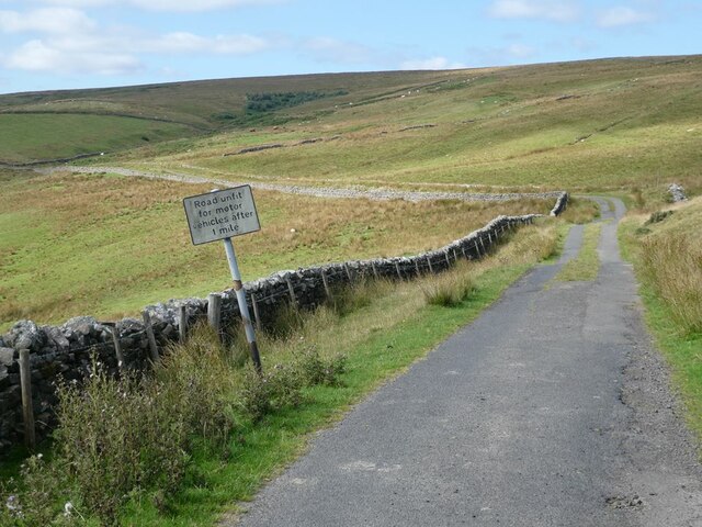
Park Hill is a stunning hill located in the county of Northumberland, England. Rising to an impressive height of 462 meters (1,516 feet), it is considered one of the highest peaks in the region. The hill is situated within the breathtaking Northumberland National Park, which covers a vast area of outstanding natural beauty.
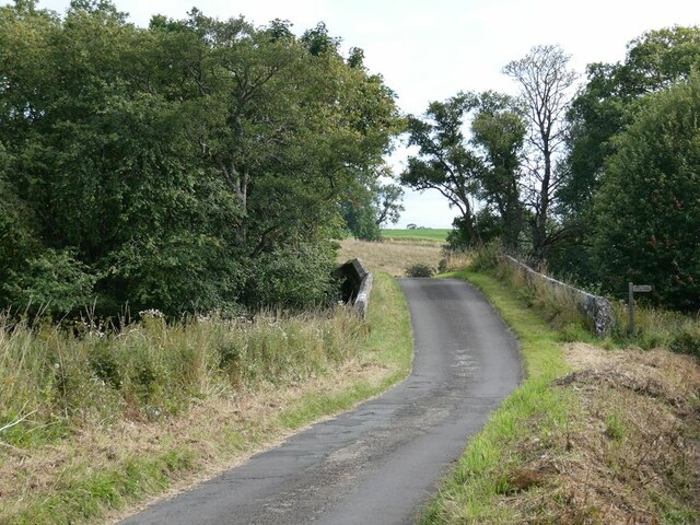
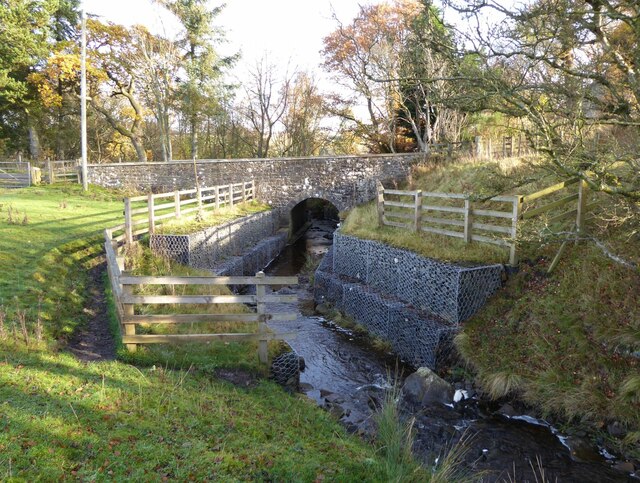
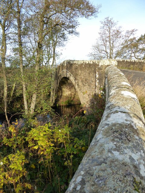
Park Hill offers visitors a plethora of outdoor activities and breathtaking views. Its location within the national park allows for numerous walking trails and hiking routes, attracting outdoor enthusiasts from all over the country. The hill's summit provides a fantastic vantage point, offering panoramic views of the surrounding countryside, including the Cheviot Hills and the Scottish borders.
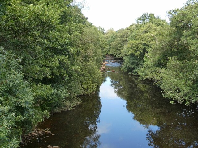
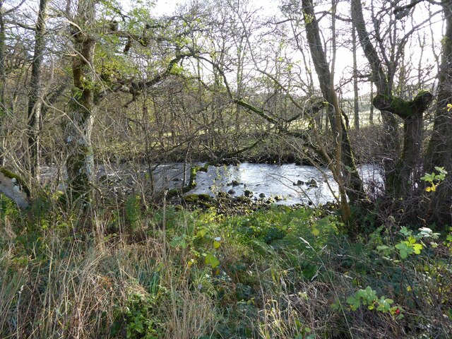
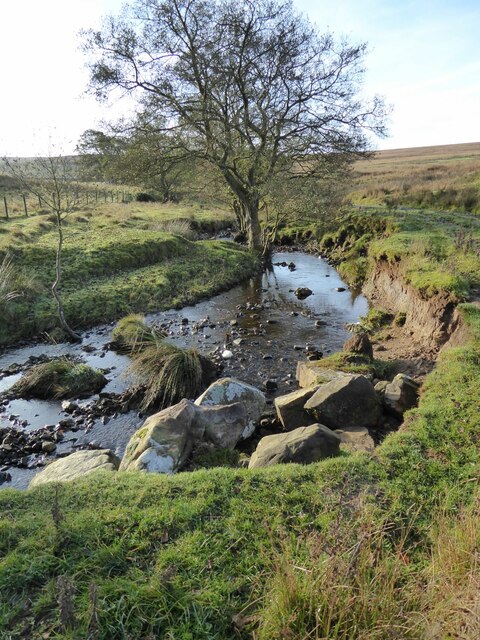
The landscape of Park Hill is characterized by rolling hills covered in lush greenery, dense woodlands, and picturesque valleys. The hill is home to a diverse array of flora and fauna, including various species of birds, mammals, and plant life. Nature lovers and wildlife enthusiasts can often spot red squirrels, roe deer, and a variety of bird species, making it a haven for wildlife enthusiasts.
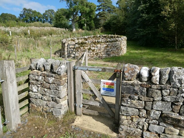
Additionally, Park Hill boasts a rich historical heritage. The hill is dotted with ancient settlements, including Iron Age hillforts and Bronze Age burial mounds, which serve as a testament to the area's long history. Visitors can explore these historical sites and gain insight into the region's past.
Overall, Park Hill in Northumberland offers visitors an opportunity to immerse themselves in stunning natural surroundings, embark on exhilarating hikes, and delve into the area's fascinating history. It is truly a gem within the Northumberland National Park and a must-visit destination for nature lovers and history enthusiasts alike.
If you have any feedback on the listing, please let us know in the comments section below.
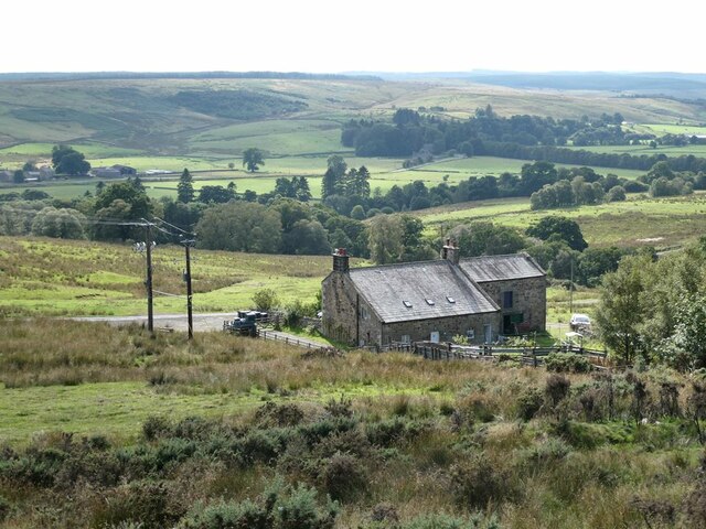
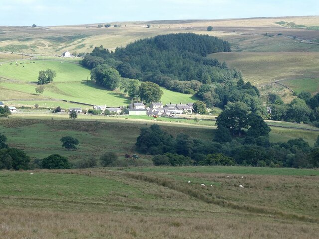
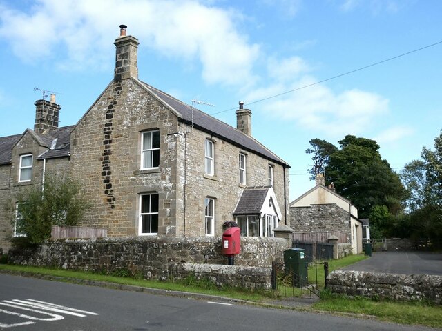
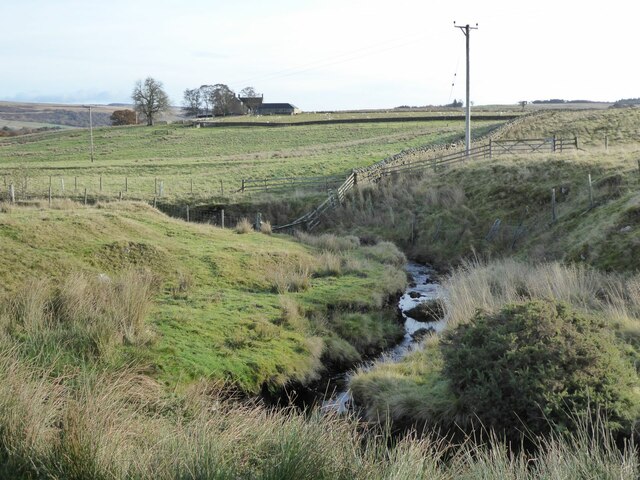
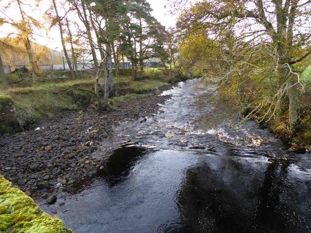
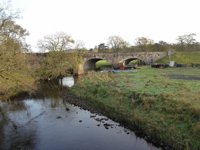
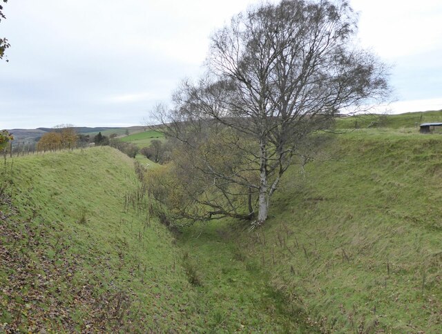
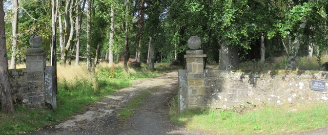
Park Hill Images
Images are sourced within 2km of 55.165603/-2.3223707 or Grid Reference NY7985. Thanks to Geograph Open Source API. All images are credited.


Park Hill is located at Grid Ref: NY7985 (Lat: 55.165603, Lng: -2.3223707)
Unitary Authority: Northumberland
Police Authority: Northumbria
What 3 Words
///polished.club.polishing. Near Bellingham, Northumberland
Nearby Locations
Related Wikis

Tarset
Tarset is a civil parish in Northumberland, England, created in 1955 from parts of Bellingham, Tarset West and Thorneyburn parishes. It is 4 miles (6 km...
Tarset railway station
Tarset railway station served the civil parish of Tarset, Northumberland, England from 1862 to 1958 on the Border Counties Railway. == History == The station...

Tarset Castle
Tarset Castle is a ruin near Tarset in Northumberland. == History == A licence to crenellate was granted to John Comyn in 1267, and the castle was built...
Charlton, Northumberland
Charlton is a village in Northumberland, England. It is about 1.5 miles (2.4 km) to the northwest of Bellingham, on the River North Tyne. == Governance... ==
Charlton (Northumberland) railway station
Charlton railway station served the village of Charlton, Northumberland, England from 1861 to 1862 on the Border Counties Railway. == History == The station...

Greystead
Greystead is a village and civil parish in Northumberland, England west of Bellingham. The population as of the 2011 census was less than 100. It shares...

Thorneyburn railway station
Thorneyburn railway station served the village of Thorneyburn, Northumberland, England from 1861 to 1956 on the Border Counties Railway. == History... ==

Dally Castle
Dally Castle is a ruined 13th-century stone motte-and-bailey fortress in Northumberland, and one of the first hall houses in Northumberland. It lies 5...
Related Videos

THE BOE RIGG, NORTHUMBERLAND Moto Camping on the Triumph Tiger 900 Rally Pro FINAL PART
We decided to call it a day after one night as the rest of the lads where not coming due to the weather that was forecast, we rightly ...

Moto Camping on the Triumph Tiger 900 Rally Pro at the Boe Rigg, Northumberland.
First time riding the Tiger 900 RP with fully loaded panniers & top box, the bike handled extremely well, the Mitas E07+ tyres are ...

Moto Camping on the Triumph Tiger 900 Rally Pro at the Boe Rigg, Northumberland.....PART TWO
Across a bumpy field no problem for the mighty Tiger 900 Rally Pro & Mitas E07+ tyres.
Nearby Amenities
Located within 500m of 55.165603,-2.3223707Have you been to Park Hill?
Leave your review of Park Hill below (or comments, questions and feedback).