Queen's Crags
Hill, Mountain in Northumberland
England
Queen's Crags

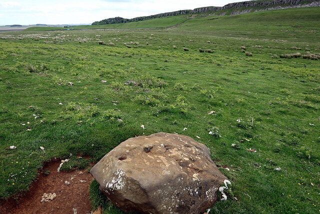
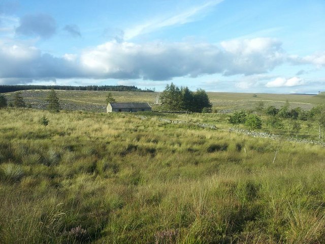
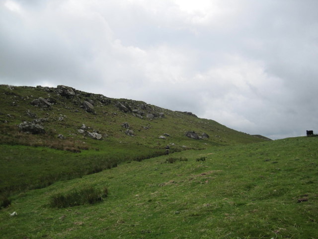
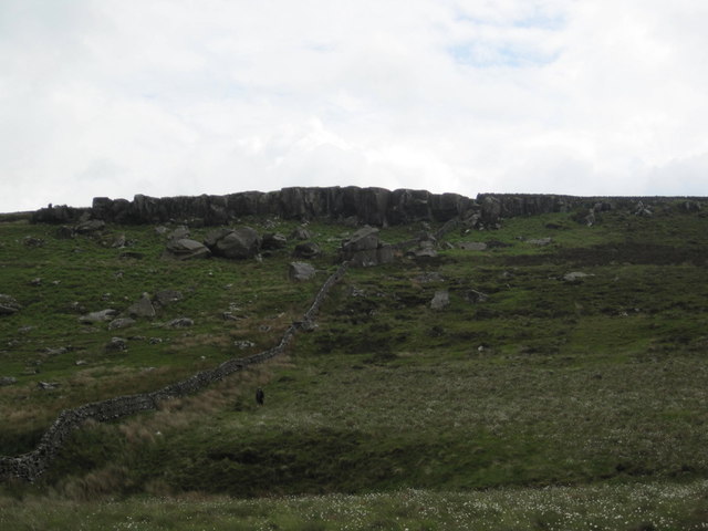
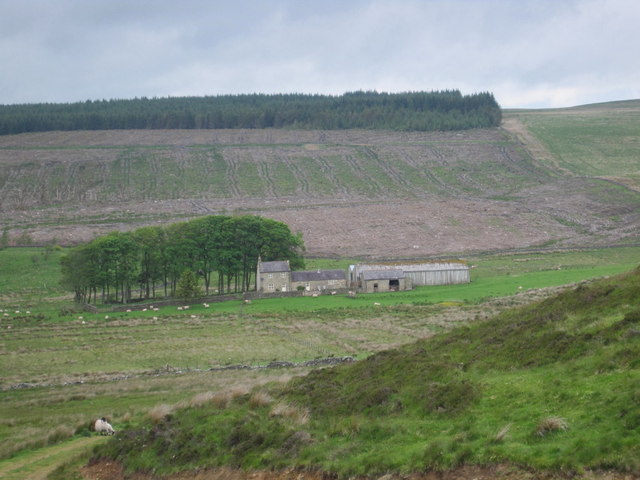
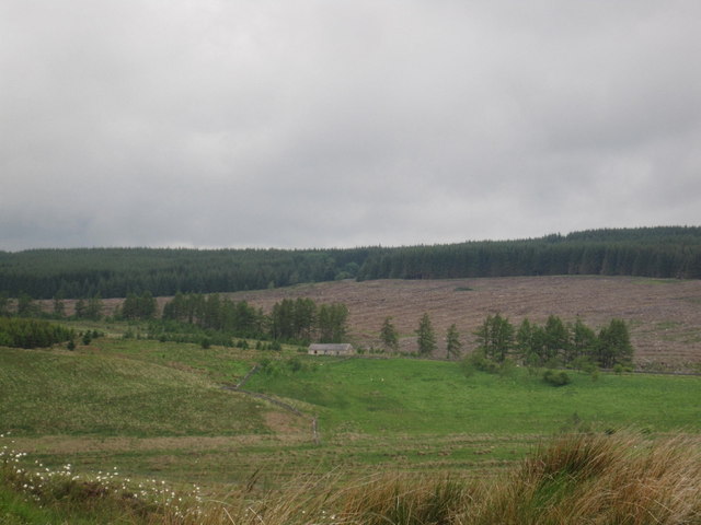
Queen's Crags is a prominent hill located in Northumberland, England. Situated within the Northumberland National Park, it forms part of the beautiful Cheviot Hills range. Rising to an elevation of approximately 280 meters (920 feet), Queen's Crags offers stunning panoramic views of the surrounding countryside, making it a popular destination for hikers and nature enthusiasts.
The hill is covered in a mix of heather, grasses, and scattered trees, creating a picturesque landscape that changes with the seasons. Queen's Crags is also known for its diverse wildlife, including various species of birds, such as buzzards and kestrels, which can often be seen soaring overhead.
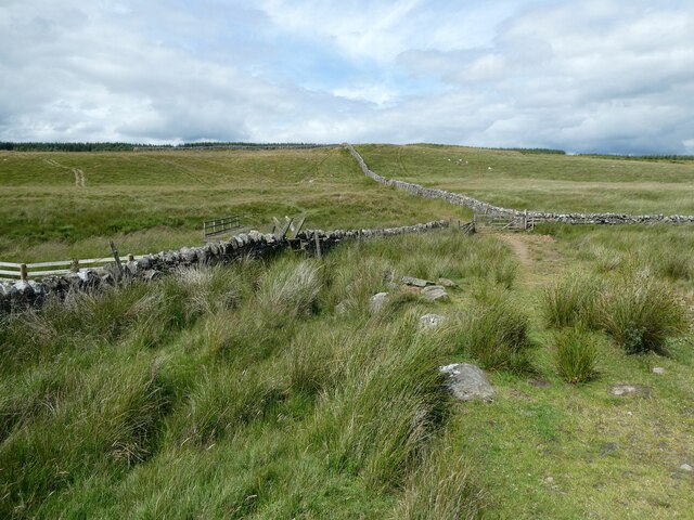
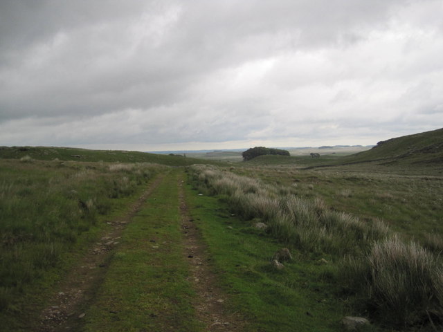
Access to Queen's Crags is relatively easy, with a designated footpath leading visitors to the summit. Along the way, hikers are treated to breathtaking vistas of the Northumberland countryside, including sweeping views of the North Sea in the distance.
The hill has historical significance as well. It is said to have been a popular hunting ground for Queen Victoria, hence its name "Queen's Crags." Local legends also suggest that the hill was once used as a hiding place for fugitives during medieval times.
Overall, Queen's Crags offers a wonderful opportunity for outdoor enthusiasts to explore the natural beauty of Northumberland. Whether it's a leisurely stroll or a challenging hike, visitors to this hill will be rewarded with stunning views, abundant wildlife, and a sense of tranquillity in the heart of England's countryside.
If you have any feedback on the listing, please let us know in the comments section below.
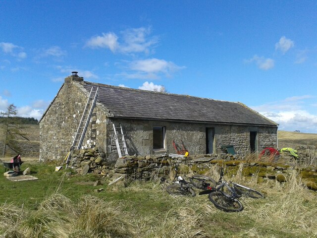
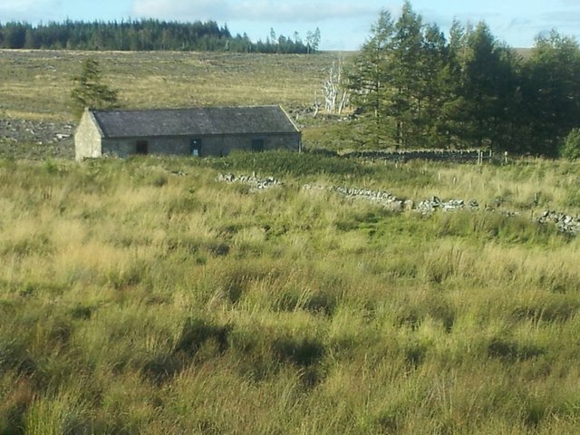
Queen's Crags Images
Images are sourced within 2km of 55.029548/-2.321402 or Grid Reference NY7970. Thanks to Geograph Open Source API. All images are credited.


Queen's Crags is located at Grid Ref: NY7970 (Lat: 55.029548, Lng: -2.321402)
Unitary Authority: Northumberland
Police Authority: Northumbria
What 3 Words
///live.speedily.offices. Near Bardon Mill, Northumberland
Nearby Locations
Related Wikis

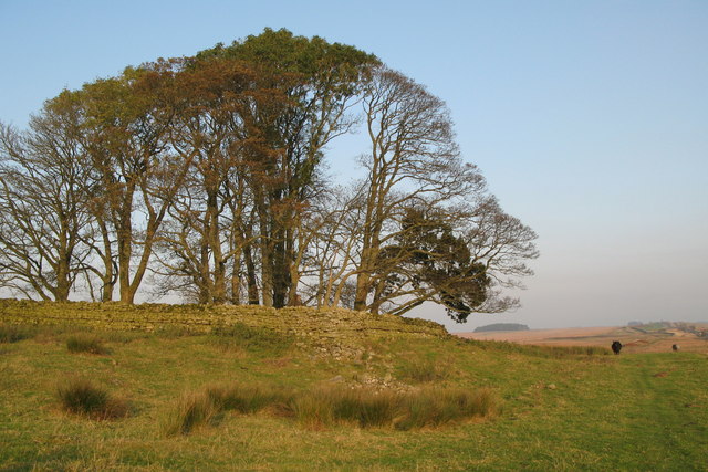
Broomlee Lough
Broomlee Lough is an inland lake in Northumberland, England at the southern edge of Northumberland National Park. The lough lies immediately north of the...

Milecastle 35
Milecastle 35 (Sewingshields) is one of the milecastles on Hadrian's Wall (grid reference NY80497018). The remains still exist as exposed masonry. ��2...

Milecastle 36
Milecastle 36 (King's Hill) was one of the milecastles on Hadrian's Wall (grid reference NY79726931). There is little to see on the ground as most of the...

Knag Burn Gateway
The Knag Burn Gateway is a gateway which was built into Hadrian's Wall some time after construction of the wall itself, generally acknowledged to be during...

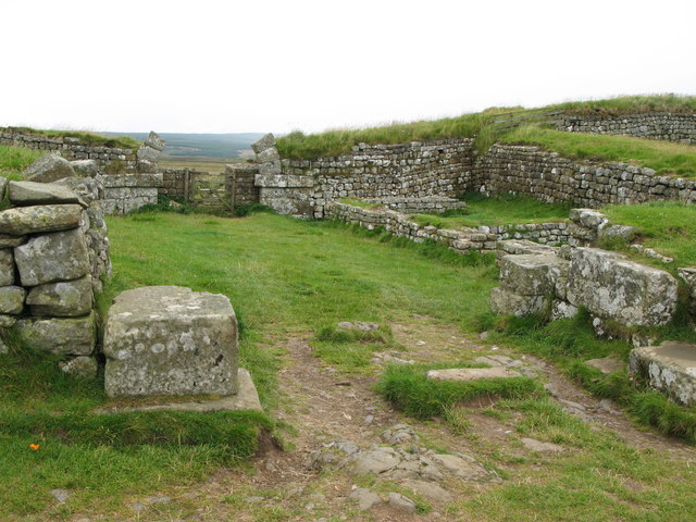
Housesteads Roman Fort
Housesteads Roman Fort is the remains of an auxiliary fort on Hadrian's Wall, at Housesteads, Northumberland, England, south of Broomlee Lough. The fort...

Halleypike Lough
Halleypike Lough is an inland lake on Haughton Common at the southern edge of Northumberland National Park, northeast of Bardon Mill, and 1 mile (1.6 km...
Milecastle 34
Milecastle 34 (Grindon) was a milecastle of the Roman Hadrian's Wall. There are no visible remains, but the site is within a small, tree-filled, walled...
Milecastle 37
Milecastle 37 is one of the milecastles on Hadrian's Wall. It is immediately west of the Housesteads Roman Fort (grid reference NY78506869). == Description... ==
Related Videos

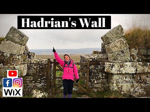
Hadrian's Wall Path: 3 Day Hike
A 3 day hike taking in 65 miles of the Hadrian's Wall Path. Starting in Carlisle and ending in Newcastle.
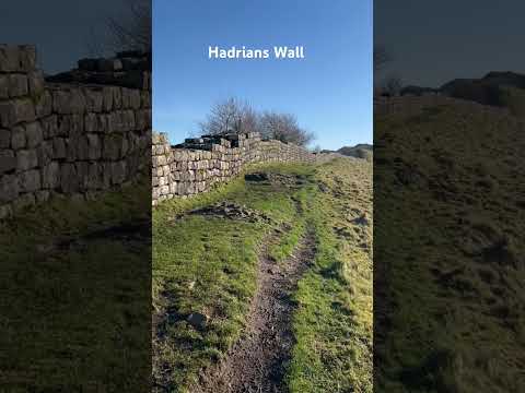
Hadrian's Wall | Walking The Wall At Housesteads Roman Fort
In this Vlog, Global Gumboots visit Hadrian's Wall stopping at Heddon On The Wall and Houseteads Roman Fort. It's then off to ...

HIKING HADRIANS WALL. Backpacking along Hadrians Wall in Northumberland.
As part of preparation for this years Fan Dance in Wales I am hiking. This mornings walk along Hadrians Wall in Northumberland ...
Nearby Amenities
Located within 500m of 55.029548,-2.321402Have you been to Queen's Crags?
Leave your review of Queen's Crags below (or comments, questions and feedback).