Dour Hill

Hill, Mountain in Northumberland

England

Dour Hill

Sheepfold close to square boundary Above the Bellshiel Burn.
Sheepfold close to square boundary Credit: Russel Wills

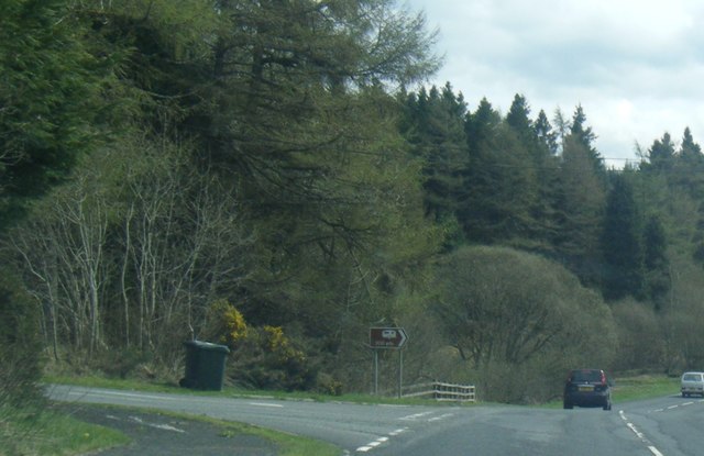
Dour Hill is a prominent physical feature located in the county of Northumberland, England. Situated in the northern part of the county, it is part of the expansive and picturesque Northumberland National Park. The hill is known for its distinctive ruggedness and commanding presence, rising to an elevation of approximately 500 meters (1,640 feet) above sea level.

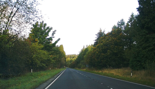
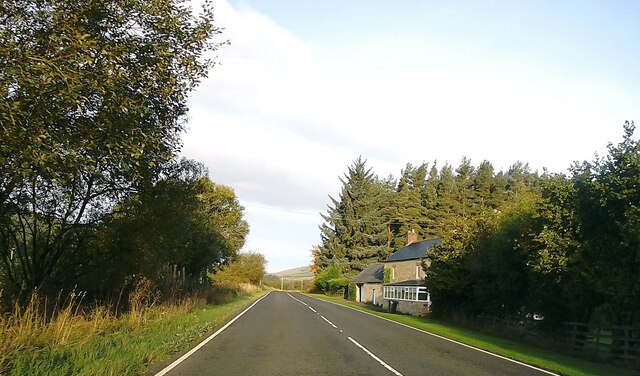
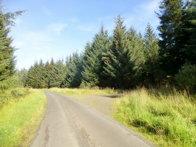
Dour Hill is characterized by its steep slopes and rocky terrain, covered in a rich tapestry of heather, grasses, and various types of wildflowers. The hill offers stunning panoramic views of the surrounding landscape, including rolling hills, valleys, and distant peaks. On clear days, it is possible to see as far as the North Sea, adding to the allure of the area.

The hill is a popular destination for hikers, nature enthusiasts, and mountaineers who are drawn to its challenging trails and breathtaking scenery. Several well-marked paths traverse the hill, catering to different levels of difficulty and providing opportunities for both leisurely walks and more demanding climbs.

Aside from its natural beauty, Dour Hill also holds historical significance. It is believed that the hill was once a site of ancient settlements, with remnants of prehistoric structures and artifacts discovered in the vicinity. These archaeological findings add an extra layer of fascination for visitors interested in the region's past.

Dour Hill, with its awe-inspiring landscapes and historical intrigue, stands as a testament to the natural and cultural heritage of Northumberland. It continues to captivate and inspire those who seek to explore its rugged beauty.

If you have any feedback on the listing, please let us know in the comments section below.

Dour Hill Images

Images are sourced within 2km of 55.314334/-2.3235614 or Grid Reference NT7902. Thanks to Geograph Open Source API. All images are credited.

Sheepfold close to square boundary Above the Bellshiel Burn.
Sheepfold close to square boundary
Above the Bellshiel Burn.
Sheepfold above Bellshiel Burn The trees mark the line of the burn.
Beyond are more trees forming a wide 'X' shape.
Sheepfold above Bellshiel Burn
The trees mark the line of the burn. Beyond are more trees forming a wide 'X' shape.
Looking across the moorland To the sheepfold and cruciform forest.
With a trig point on Dour Hill.
Looking across the moorland
To the sheepfold and cruciform forest. With a trig point on Dour Hill.
A68, Cottonshopeburnfoot Towards Jedburgh.
A68, Cottonshopeburnfoot
Towards Jedburgh.
A68, Low Byrness Towards Jedburgh.
A68, Low Byrness
Towards Jedburgh.
Cottonshope Road Cottonshope Road goes through Byrness Plantation before it meets the A68.
Cottonshope Road
Cottonshope Road goes through Byrness Plantation before it meets the A68.
Ordnance Survey Cut Mark This OS cut mark can be found on the west parapet of the Hollin Burn Bridge. It marks a point 272.150m above mean sea level.
Ordnance Survey Cut Mark
This OS cut mark can be found on the west parapet of the Hollin Burn Bridge. It marks a point 272.150m above mean sea level.
Ordnance Survey Rivet This OS rivet can be found on the boulder to the SE of the road. It marks a point 229.140m above mean sea level.
Ordnance Survey Rivet
This OS rivet can be found on the boulder to the SE of the road. It marks a point 229.140m above mean sea level.
Ordnance Survey Rivet This OS rivet can be found on the NE parapet of the bridge over the Cottonshope Burn. It marks a point 211.162m above mean sea level.
Ordnance Survey Rivet
This OS rivet can be found on the NE parapet of the bridge over the Cottonshope Burn. It marks a point 211.162m above mean sea level.
Ordnance Survey Flush Bracket (11411) This OS Flush Bracket can be found on the front of Low Byrness Cottage. It marks a point 212.923m above mean sea level.
Ordnance Survey Flush Bracket (11411)
This OS Flush Bracket can be found on the front of Low Byrness Cottage. It marks a point 212.923m above mean sea level.
Milestone - Jedburgh 17 NE side of road
Milestone - Jedburgh 17
NE side of road
Ordnance Survey Flush Bracket 11411 This can be found on the roadside wall of Low Byrness Cottage at Cottonshopeburnfoot.
For more detail see : <span class="nowrap"><a title="http://www.bench-marks.org.uk/bm315" rel="nofollow ugc noopener" href="http://www.bench-marks.org.uk/bm315">Link</a><img style="margin-left:2px;" alt="External link" title="External link - shift click to open in new window" src="https://s1.geograph.org.uk/img/external.png" width="10" height="10"/></span>
Ordnance Survey Flush Bracket 11411
This can be found on the roadside wall of Low Byrness Cottage at Cottonshopeburnfoot. For more detail see : LinkExternal link
Road (A68) at Cottonshopeburnfoot Looking north-westward from Low Byrness Cottage.
Road (A68) at Cottonshopeburnfoot
Looking north-westward from Low Byrness Cottage.
Access road at Cottonshopeburnfoot The road is adjacent to the A68 and might have been an earlier alignment of that road; now it gives access to a farm and other buildings.
Access road at Cottonshopeburnfoot
The road is adjacent to the A68 and might have been an earlier alignment of that road; now it gives access to a farm and other buildings.
Cottonshope Burn The Cottonshope Burn, upstream with Ravens Knowe, (probably), the summit in the distance.
Cottonshope Burn
The Cottonshope Burn, upstream with Ravens Knowe, (probably), the summit in the distance.
Trig point and warning notice at fence angle The notice, which is at the edge of the MOD Otterburn range, and the trig point, are at the top of Dour Hill.
Trig point and warning notice at fence angle
The notice, which is at the edge of the MOD Otterburn range, and the trig point, are at the top of Dour Hill.
A68 nears Cottonshopeburnfoot
A68 at Low Byrness
A68 at Low Byrness
Show me another place!

Dour Hill is located at Grid Ref: NT7902 (Lat: 55.314334, Lng: -2.3235614)

Unitary Authority: Northumberland

Police Authority: Northumbria

What 3 Words

///unframed.shock.conspired. Near Rochester, Northumberland

Nearby Locations

Dour Hill

Related Wikis

Cottonshopeburnfoot

Cottonshopeburnfoot is a hamlet in Redesdale in Northumberland, England. It lies on the A68 road, 2 miles south east of the village of Byrness. The hamlet...

A68 road

The A68 is a major road in the United Kingdom, running from Darlington in England to the A720 in Edinburgh, the capital of Scotland. It crosses the Anglo...

Byrness

Byrness is a village within Rochester civil parish in Northumberland, England. It is approximately 37 miles (60 km) north-west of Newcastle upon Tyne on...

Featherwood Roman Camps

Featherwood Roman Camps are neighbouring archaeological sites in Northumberland, England, 1 mile (1.6 km) north of Featherwood and about 3 miles (5 km...

Bremenium

Bremenium is an ancient Roman fort (castrum) located at Rochester, Northumberland, England. The fort is one of the defensive structures built along Dere...

Rochester, Northumberland

Rochester is a small village and civil parish in north Northumberland, England. It is 5 miles (8 km) north-west of Otterburn on the A68 road between Corbridge...

Chew Green

Chew Green is the site of the ancient Roman encampment, commonly but erroneously called Ad Fines (Latin: The Limits) on the 1885-1900 edition of the Ordnance...

Ramshope

Ramshope is a hamlet and former civil parish, now in the parish of Rochester in Northumberland, England located in Northumberland National Park. It lies...

Nearby Amenities

Located within 500m of 55.314334,-2.3235614
Dour Hill
Place: locality
Lat/Long: 55.3143047/-2.3234588
Kip End
Place: locality
Lat/Long: 55.3136394/-2.3262873
The data included in this document is from www.openstreetmap.org. The data is made available under ODbL.

Have you been to Dour Hill?

Leave your review of Dour Hill below (or comments, questions and feedback).