Glen Kerry
Valley in Ross-shire
Scotland
Glen Kerry
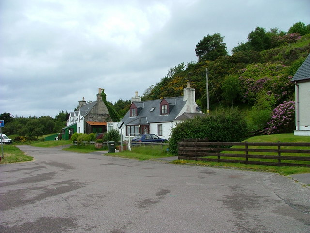
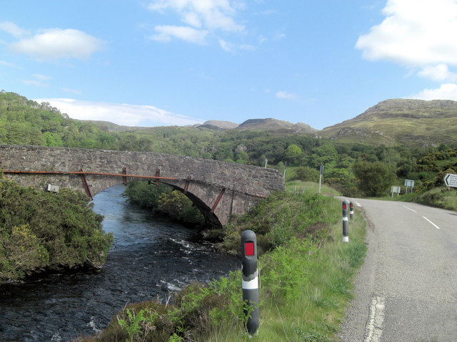
Glen Kerry is a picturesque valley located in Ross-shire, Scotland. Nestled amidst stunning natural beauty, this valley is renowned for its breathtaking landscapes and tranquil ambiance. Situated between the towns of Dingwall and Garve, Glen Kerry spans over several miles, showcasing a diverse range of topography.
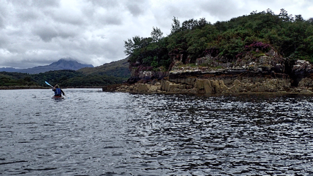
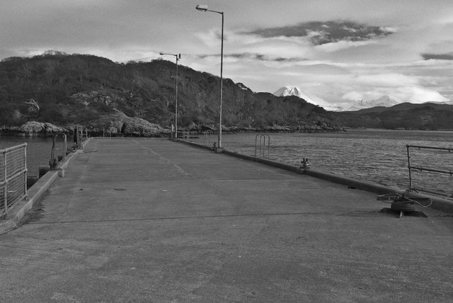
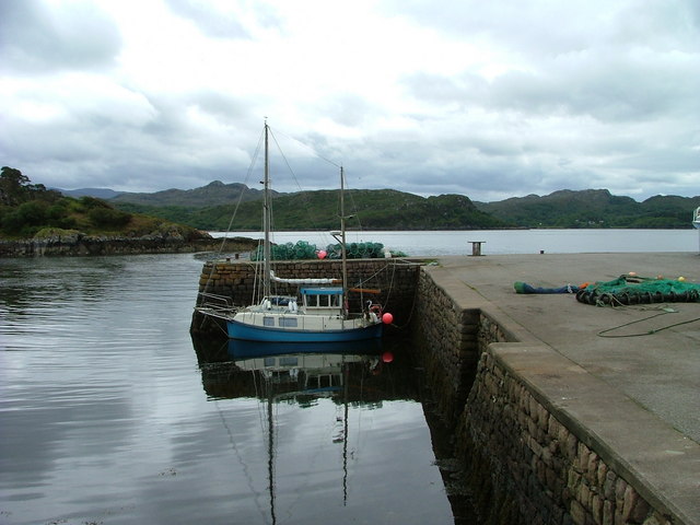
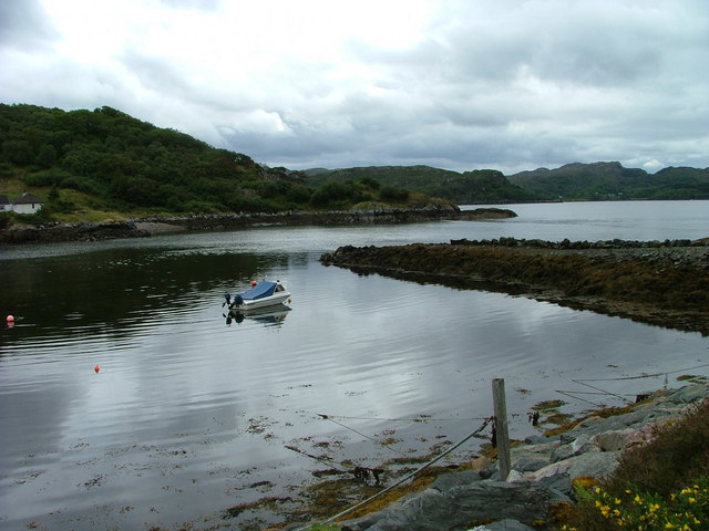
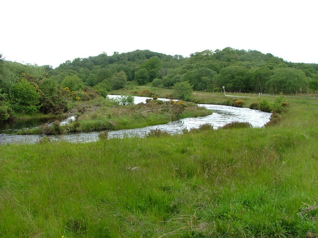
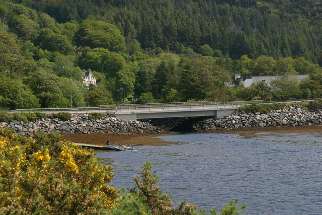
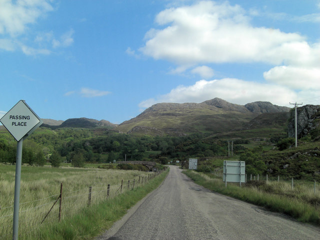
The valley is characterized by its rolling hills, lush green meadows, and dense forests, making it a haven for nature enthusiasts and outdoor adventurers. The River Kerry meanders through the valley, adding to its charm and providing opportunities for fishing and boating activities. The surrounding hills offer spectacular viewpoints, allowing visitors to soak in panoramic views of the valley and the nearby mountains.
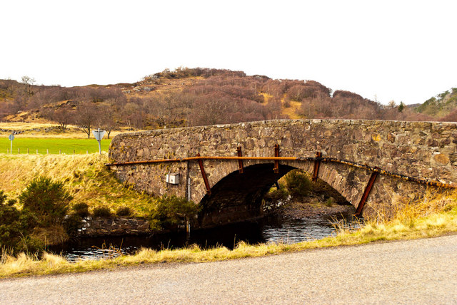
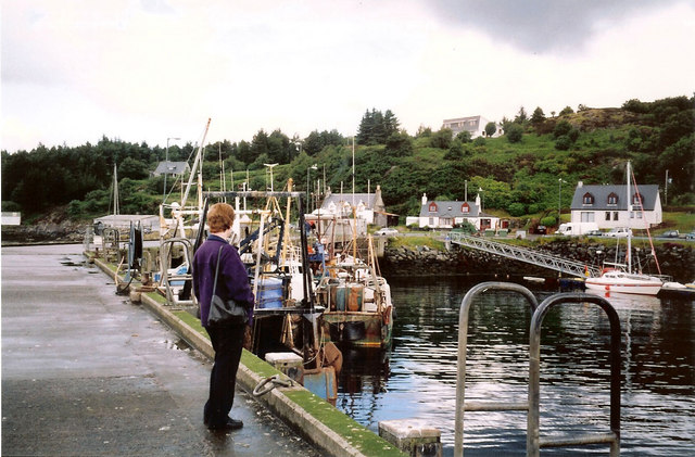
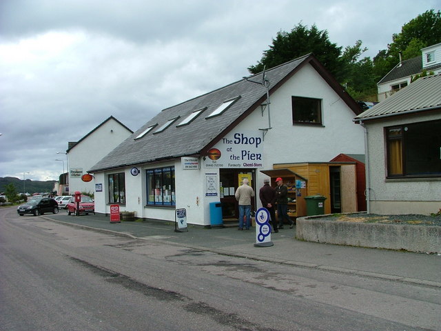
Glen Kerry is also rich in history and cultural heritage. The remnants of ancient settlements and standing stones can be found here, offering a glimpse into the region's past. The valley is dotted with quaint villages and hamlets, where locals still maintain traditional ways of life and welcome visitors with warm hospitality.
For those seeking outdoor recreation, Glen Kerry offers numerous walking and hiking trails, catering to all levels of fitness. These trails take visitors through enchanting woodlands, across babbling brooks, and up to the summit of nearby peaks, rewarding them with breathtaking vistas along the way.
In summary, Glen Kerry in Ross-shire is a stunning valley that showcases the natural beauty of the Scottish Highlands. With its scenic landscapes, rich history, and various outdoor activities, it is a destination that captivates the hearts of all who visit.
If you have any feedback on the listing, please let us know in the comments section below.
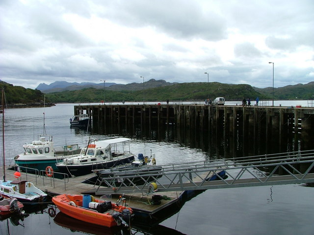
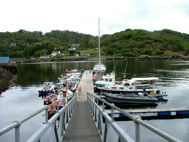
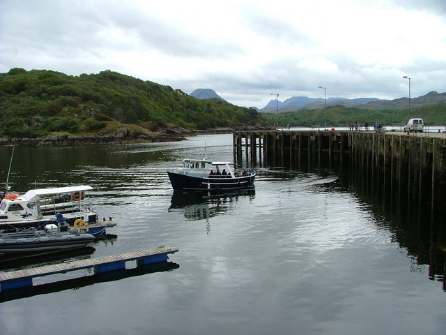
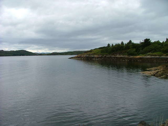
Glen Kerry Images
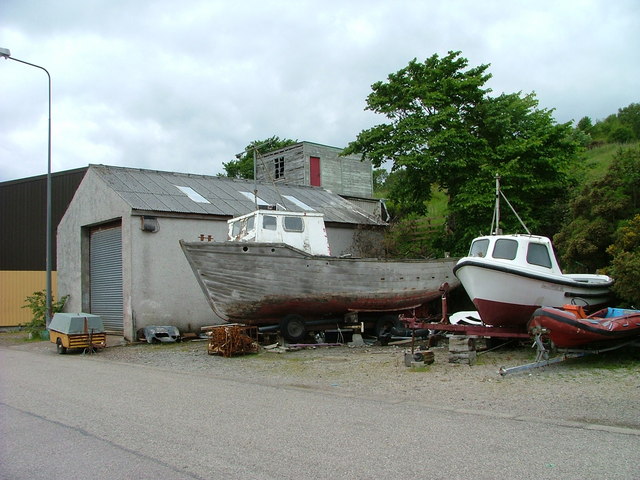
Images are sourced within 2km of 57.698982/-5.6632105 or Grid Reference NG8173. Thanks to Geograph Open Source API. All images are credited.

Glen Kerry is located at Grid Ref: NG8173 (Lat: 57.698982, Lng: -5.6632105)
Unitary Authority: Highland
Police Authority: Highlands and Islands
What 3 Words
///staining.stir.sponge. Near Gairloch, Highland
Nearby Locations
Related Wikis

Charlestown, Wester Ross
Charlestown is a small hamlet, making up one of the settlements which are collectively called Gairloch, and located directly south of the main village...
An Ard
An Ard (Scottish Gaelic: ) is a collection of small settlements on the A832 road, close to Charlestown, in Gairloch, Ross-shire, on the east shore of Gair...

Kerry Falls Hydro-Electric Scheme
Kerry Falls Hydro-Electric Scheme, sometimes known as Gairloch is a small-scale hydro-electric power station, built by the North of Scotland Hydro-Electric...
Broadford Beds Formation
The Broadford Beds Formation is a Sinemurian geologic formation in western Scotland. An indeterminate partial tibia of a theropod dinosaur are among the...
Nearby Amenities
Located within 500m of 57.698982,-5.6632105Have you been to Glen Kerry?
Leave your review of Glen Kerry below (or comments, questions and feedback).