Tòrr nan Damhan
Coastal Feature, Headland, Point in Ross-shire
Scotland
Tòrr nan Damhan
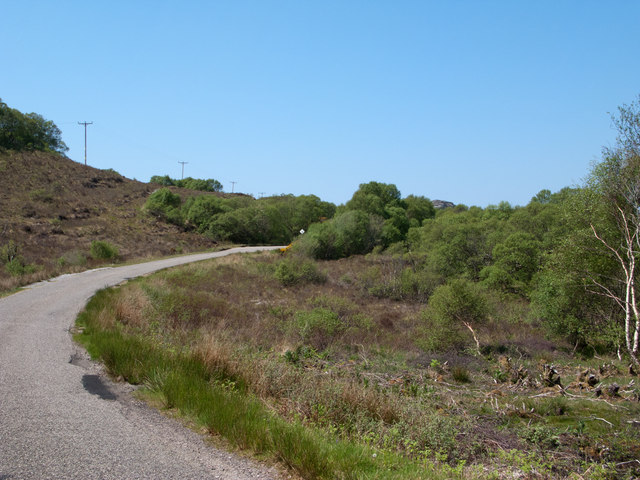
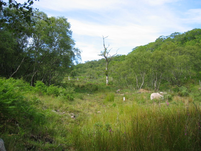
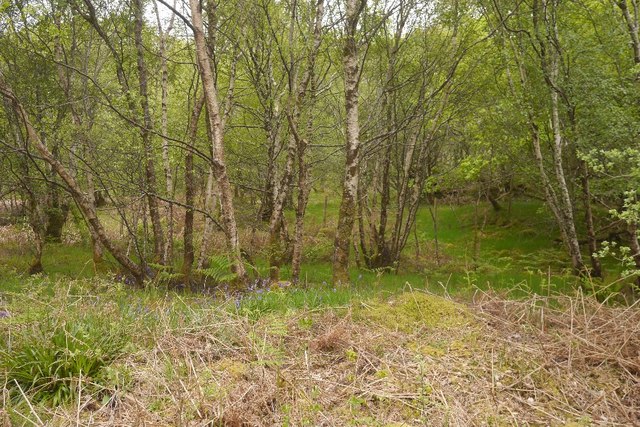
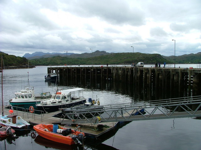
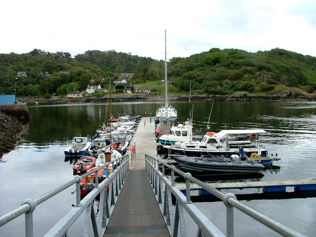
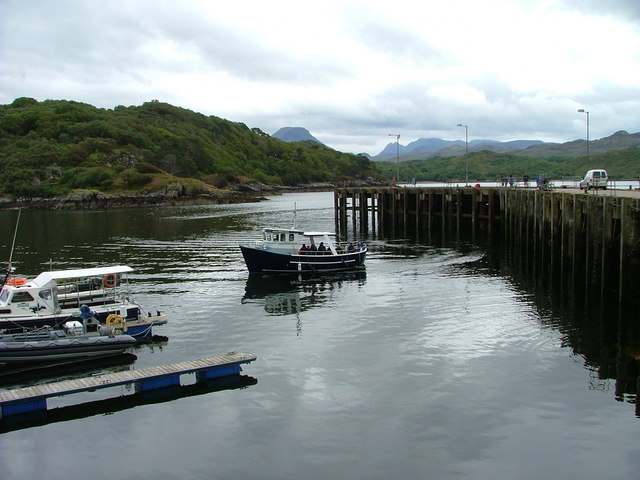
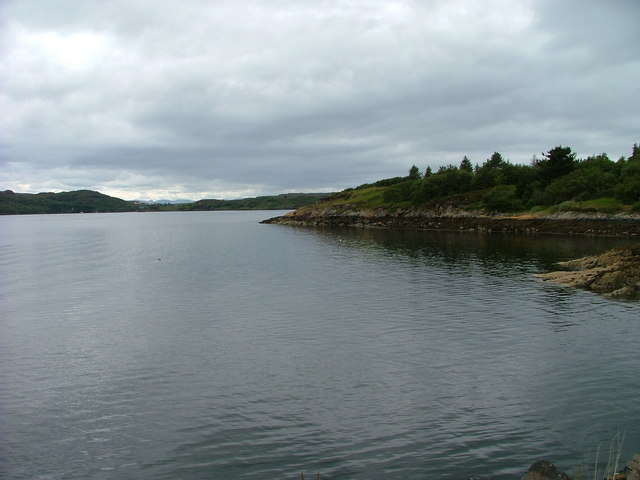
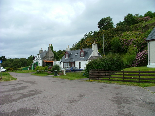
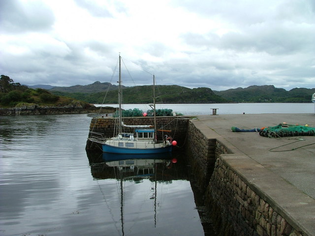
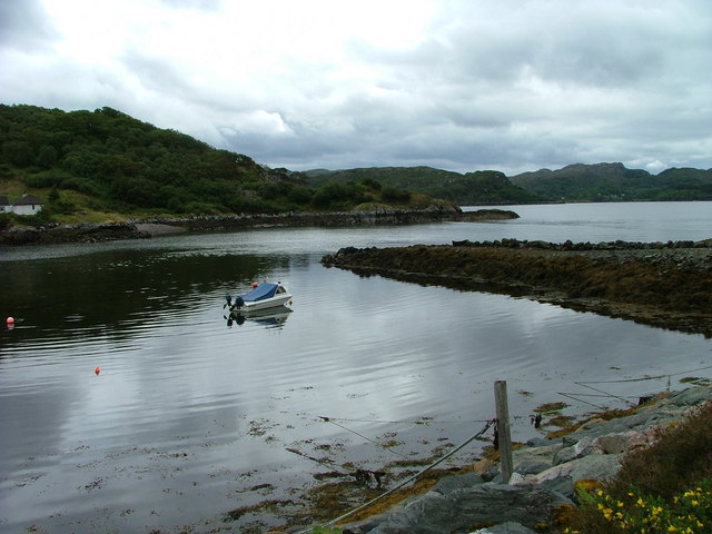
Tòrr nan Damhan is a prominent coastal feature located in Ross-shire, Scotland. Situated along the rugged and picturesque coastline, it is known for being a headland or point that juts out into the sea. The name "Tòrr nan Damhan" translates to "Hill of the Stags" in Scottish Gaelic, a fitting name due to the area's rich wildlife.
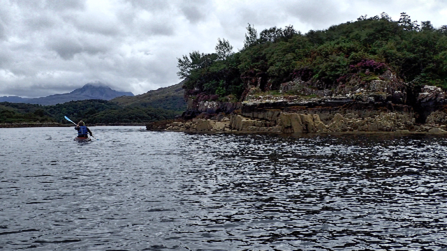
The headland offers stunning panoramic views of the surrounding landscape, including the vast expanse of the North Atlantic Ocean. The rugged cliffs that make up Tòrr nan Damhan are composed of ancient rocks, displaying layers of sediment and revealing the geological history of the area.
The headland is a popular spot for outdoor enthusiasts and nature lovers, attracting visitors who enjoy hiking, birdwatching, and photography. The cliffs provide nesting sites for various seabird species, including puffins, guillemots, and razorbills, making it a paradise for birdwatchers. Visitors may also spot seals, dolphins, and even whales swimming offshore.
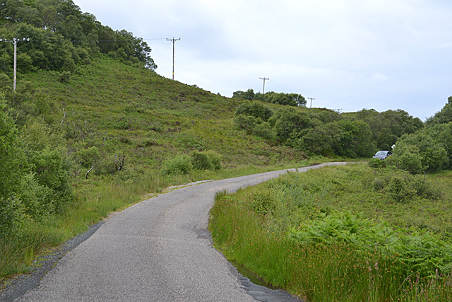
Access to Tòrr nan Damhan is relatively easy, with designated trails leading to the headland. However, caution is advised due to the steep cliffs and unpredictable weather conditions. It is advisable to check the local weather forecast and wear appropriate clothing and footwear when exploring the area.
Tòrr nan Damhan is not only a remarkable natural attraction but also a site of cultural significance. It represents the rugged beauty and untamed wilderness that characterizes the Scottish coastline, offering visitors a chance to connect with nature and experience the majesty of the land.
If you have any feedback on the listing, please let us know in the comments section below.
Tòrr nan Damhan Images
Images are sourced within 2km of 57.699081/-5.6666291 or Grid Reference NG8173. Thanks to Geograph Open Source API. All images are credited.
Tòrr nan Damhan is located at Grid Ref: NG8173 (Lat: 57.699081, Lng: -5.6666291)
Unitary Authority: Highland
Police Authority: Highlands and Islands
What 3 Words
///intensely.respects.juggles. Near Gairloch, Highland
Nearby Locations
Related Wikis
Charlestown, Wester Ross
Charlestown is a small hamlet, making up one of the settlements which are collectively called Gairloch, and located directly south of the main village...
An Ard
An Ard (Scottish Gaelic: ) is a collection of small settlements on the A832 road, close to Charlestown, in Gairloch, Ross-shire, on the east shore of Gair...
Broadford Beds Formation
The Broadford Beds Formation is a Sinemurian geologic formation in western Scotland. An indeterminate partial tibia of a theropod dinosaur are among the...
Kerry Falls Hydro-Electric Scheme
Kerry Falls Hydro-Electric Scheme, sometimes known as Gairloch is a small-scale hydro-electric power station, built by the North of Scotland Hydro-Electric...
Nearby Amenities
Located within 500m of 57.699081,-5.6666291Have you been to Tòrr nan Damhan?
Leave your review of Tòrr nan Damhan below (or comments, questions and feedback).
