Glen Aladale
Valley in Inverness-shire
Scotland
Glen Aladale

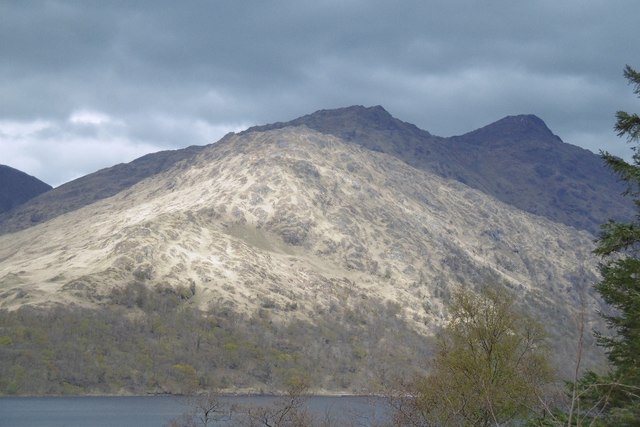
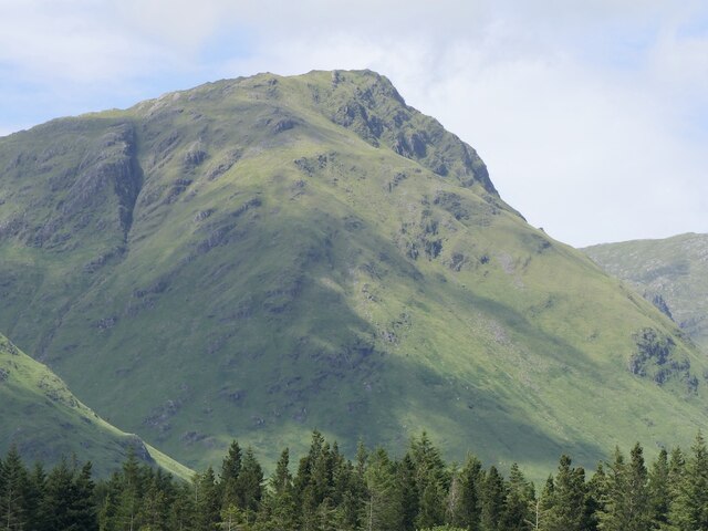
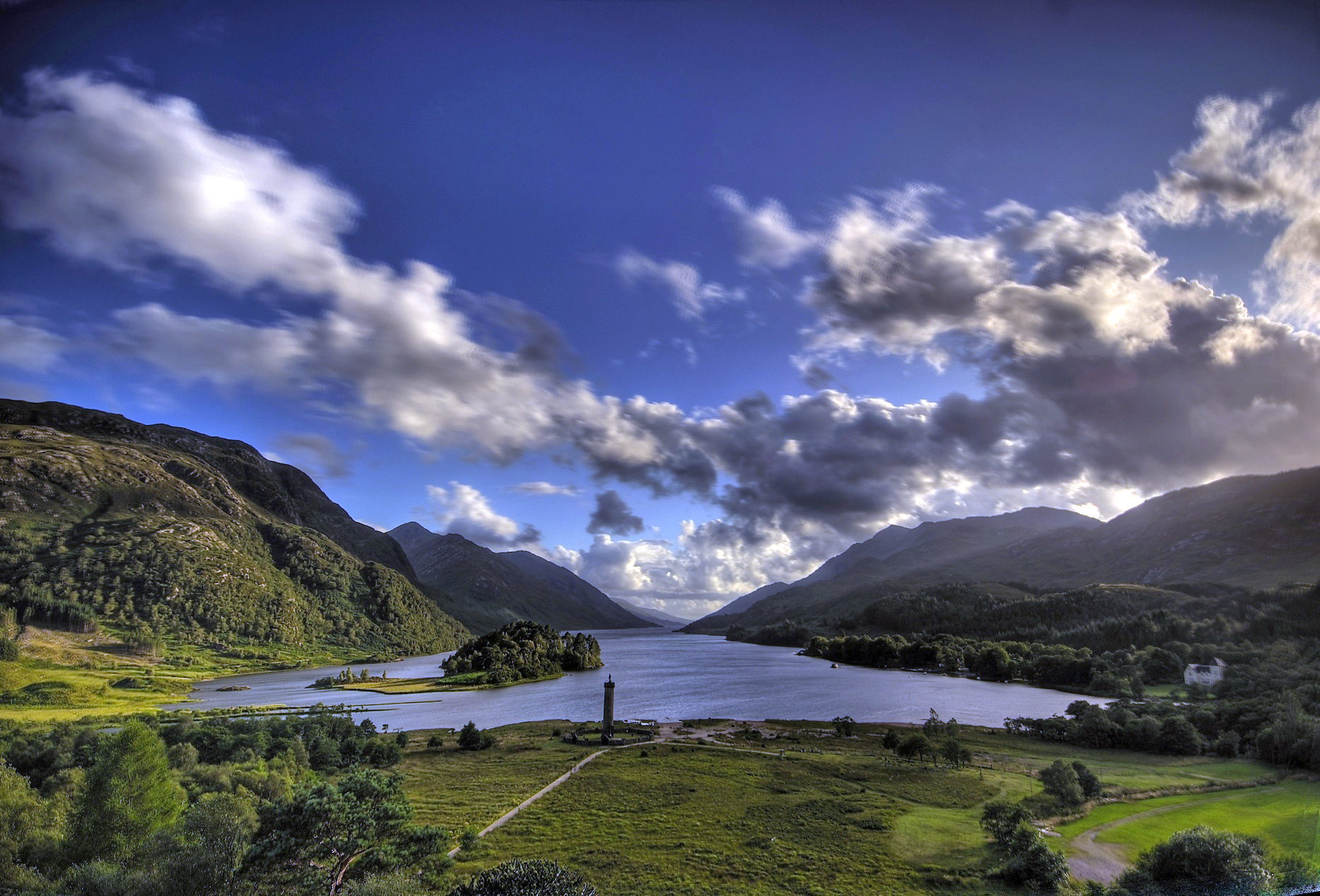
Glen Aladale is a picturesque valley located in the Inverness-shire region of the Scottish Highlands. Situated amidst the stunning landscape of the Scottish countryside, it is renowned for its natural beauty, abundant wildlife, and historical significance.
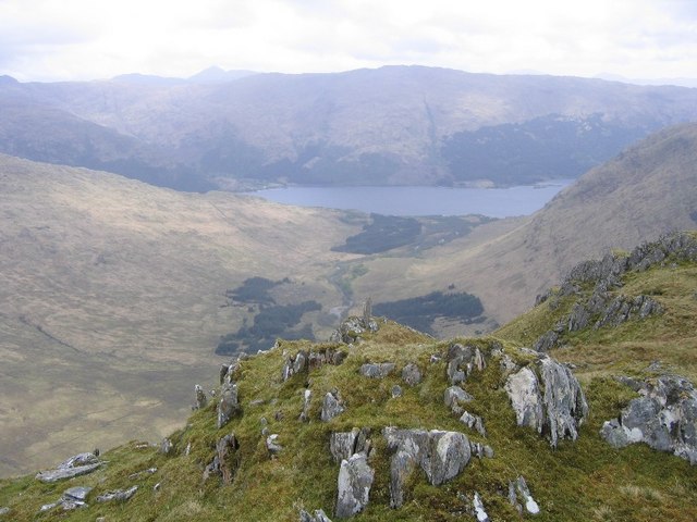
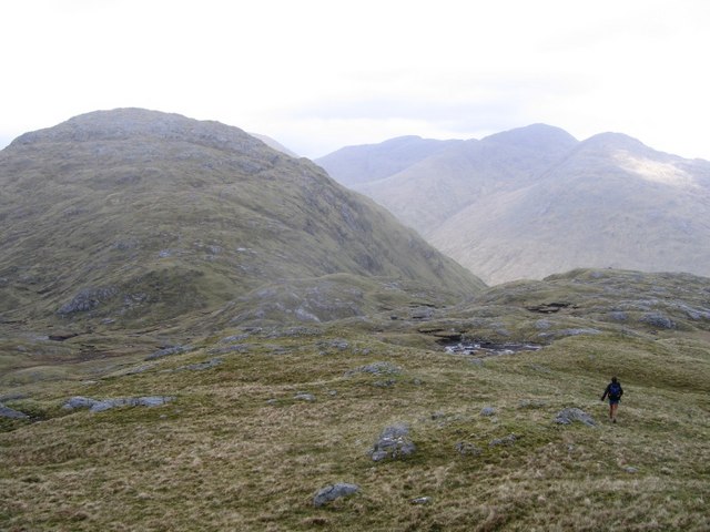
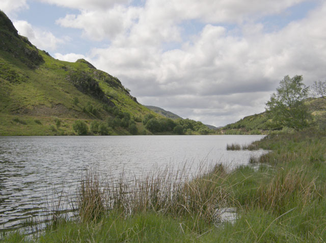
The valley stretches for approximately 10 miles, encompassing verdant meadows, dense forests, and the meandering River Aladale, which flows through the heart of the glen. The valley is surrounded by towering mountains, including the prominent peaks of Ben Wyvis and Little Wyvis, which add to its dramatic scenery.
Glen Aladale is home to a diverse range of wildlife, including red deer, golden eagles, and otters, making it a haven for nature enthusiasts and birdwatchers. The glen also boasts ancient Caledonian pine forests, which are of great ecological importance and provide a habitat for numerous rare species of flora and fauna.
The history of Glen Aladale is rich and fascinating. The glen has been inhabited for thousands of years, with evidence of prehistoric settlements and burial sites. It was also a key location during the Jacobite uprisings of the 18th century, with several battles fought in and around the glen.
Visitors to Glen Aladale can explore its natural wonders through a network of walking trails and hiking routes that offer breathtaking views of the surrounding landscape. The glen is also popular for fishing, with the River Aladale known for its excellent salmon and trout fishing opportunities.
Overall, Glen Aladale is a captivating destination that combines stunning natural scenery, abundant wildlife, and a rich historical heritage, making it a must-visit location for those seeking an authentic Scottish Highlands experience.
If you have any feedback on the listing, please let us know in the comments section below.
Glen Aladale Images
Images are sourced within 2km of 56.829305/-5.5749699 or Grid Reference NM8176. Thanks to Geograph Open Source API. All images are credited.


Glen Aladale is located at Grid Ref: NM8176 (Lat: 56.829305, Lng: -5.5749699)
Unitary Authority: Highland
Police Authority: Highlands and Islands
What 3 Words
///valve.jaunts.cluttered. Near Arisaig, Highland
Nearby Locations
Related Wikis

Beinn Odhar Bheag
Beinn Odhar Bheag (882 m) is a mountain in the Northwest Highlands of Scotland, south of the village of Glenfinnan in Moidart, Lochaber. It shares the...
Loch Shiel
See Glen Shiel for the much smaller Loch Shiel in Lochalsh.Loch Shiel (Scottish Gaelic: Loch Seile) is a freshwater loch situated 20 kilometres (12 mi...
Loch Eilt
Loch Eilt is a freshwater loch in Lochaber, in the West Highlands of Scotland. It is between the villages of Glenfinnan and Lochailort, 30 km west of Fort...

Sgùrr Ghiubhsachain
Sgùrr Ghiubhsachain is a mountain in the Lochaber area in the west of Scotland. Its summit is the highest point in a group of mountains that stand south...
Have you been to Glen Aladale?
Leave your review of Glen Aladale below (or comments, questions and feedback).