Loch Kerry

Sea, Estuary, Creek in Ross-shire

Scotland

Loch Kerry

Road descending to Camas na h-Airigh The road leaves the B8056 near to Badachro giving access to the few homes above the bay. Loch Gairloch lies in the distance.
Road descending to Camas na h-Airigh Credit: Trevor Littlewood

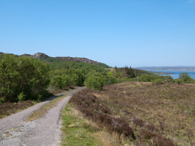
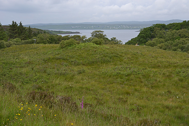
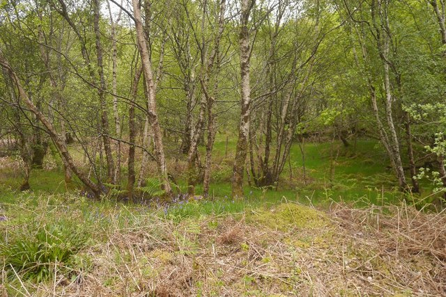
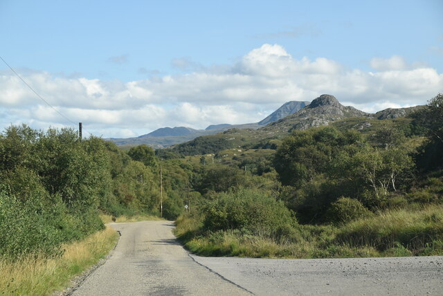
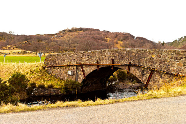
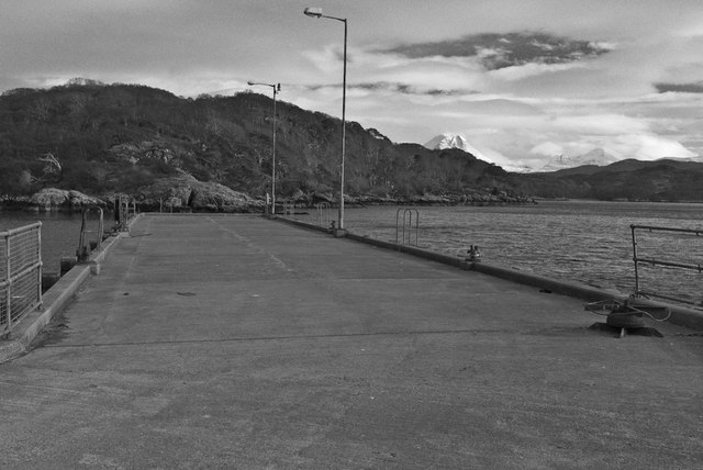
Loch Kerry is a beautiful sea loch located in Ross-shire, Scotland. It is a long and narrow body of water that stretches inland from the coast, forming an estuary surrounded by picturesque hills and forests. The loch is fed by several small creeks and streams that flow into its waters, providing a habitat for a variety of marine life.

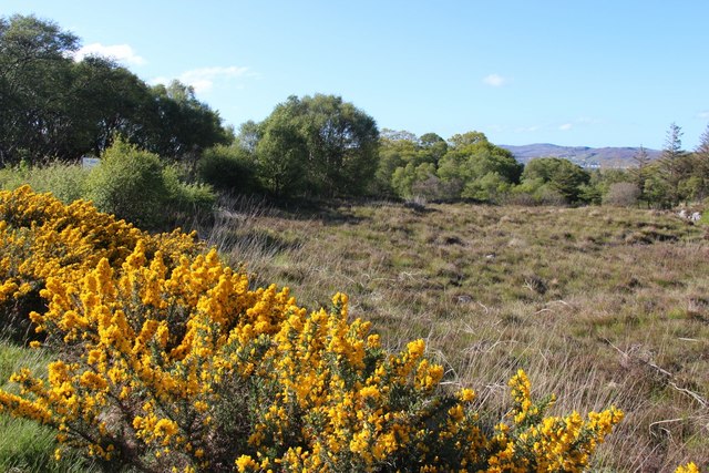
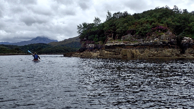
The shores of Loch Kerry are lined with rugged cliffs and rocky beaches, making it a popular destination for outdoor enthusiasts and nature lovers. The calm waters of the loch are ideal for fishing, kayaking, and boating, offering visitors a peaceful and relaxing experience on the water.

The surrounding area is rich in history and culture, with ancient ruins and historic sites dotting the landscape. Visitors to Loch Kerry can explore the nearby villages and towns, sampling local cuisine and enjoying traditional Scottish hospitality.

Overall, Loch Kerry is a tranquil and scenic destination that offers a perfect blend of natural beauty and cultural heritage for visitors to enjoy.

If you have any feedback on the listing, please let us know in the comments section below.
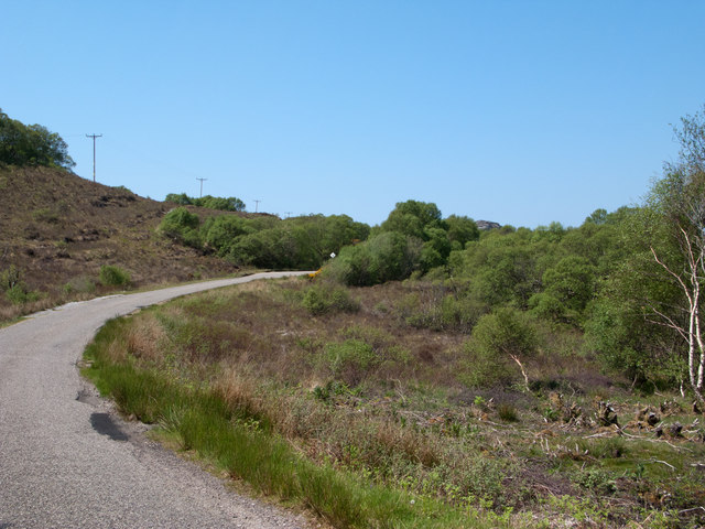
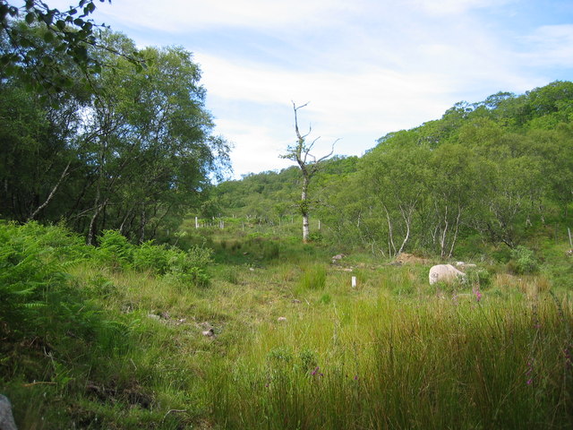
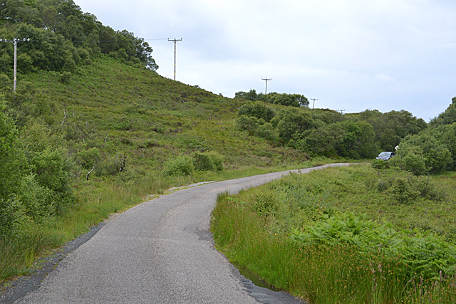
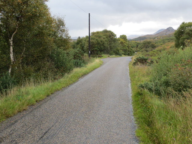
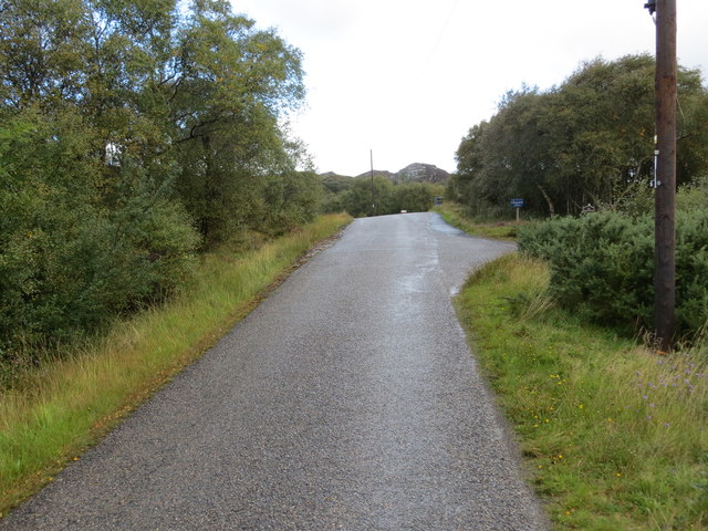
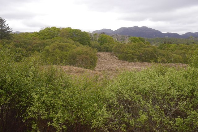
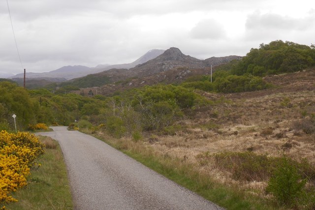
Loch Kerry Images

Images are sourced within 2km of 57.701626/-5.6749472 or Grid Reference NG8173. Thanks to Geograph Open Source API. All images are credited.

Road descending to Camas na h-Airigh The road leaves the B8056 near to Badachro giving access to the few homes above the bay. Loch Gairloch lies in the distance.
Road descending to Camas na h-Airigh
The road leaves the B8056 near to Badachro giving access to the few homes above the bay. Loch Gairloch lies in the distance.
B8056 above Leacnasaide Leacnasaide is a small community above Loch Shieldaig; the B8056 is seen here passing above it on its way to Red Point.
B8056 above Leacnasaide
Leacnasaide is a small community above Loch Shieldaig; the B8056 is seen here passing above it on its way to Red Point.
Woodland above Leacnasaide
Scrubland near Leacnasaide
The Red Point road west of Shieldaig Single track road with passing places.
The Red Point road west of Shieldaig
Single track road with passing places.
View towards Gairloch Bay Looking over mixed scrub to the bay, and the houses on its north shore.
View towards Gairloch Bay
Looking over mixed scrub to the bay, and the houses on its north shore.
Scrubland near Leacnasaide
Post box at Leacnasaide
Leac na Saighde
Leac na Saighde
Road (B8056) near Lecnasaide Looking south-eastward.
Road (B8056) near Lecnasaide
Looking south-eastward.
Road (B8056) near Lecnasaide Looking north-westward.
Road (B8056) near Lecnasaide
Looking north-westward.
Birch wood near Loch Shieldaig Much of the land beside the B8056 through Badachro is wooded. The trees here are young suggesting reversion to woodland.
Birch wood near Loch Shieldaig
Much of the land beside the B8056 through Badachro is wooded. The trees here are young suggesting reversion to woodland.
B8056 Between Shieldaig and Badachro.
B8056
Between Shieldaig and Badachro.
Birch wood, Shieldaig Some of the woodland along the road between Kerrysdale and Badachro.
Birch wood, Shieldaig
Some of the woodland along the road between Kerrysdale and Badachro.
B8056 The B8056 is a dead end road in Wester Ross. It runs 9 miles from the A832 to Redpoint.
<span class="nowrap"><a title="https://www.sabre-roads.org.uk/wiki/index.php?title=B8056" rel="nofollow ugc noopener" href="https://www.sabre-roads.org.uk/wiki/index.php?title=B8056">Link</a><img style="margin-left:2px;" alt="External link" title="External link - shift click to open in new window" src="https://s1.geograph.org.uk/img/external.png" width="10" height="10"/></span>
B8056
The B8056 is a dead end road in Wester Ross. It runs 9 miles from the A832 to Redpoint. LinkExternal link
Bridge on the River Kerry
Charlestown Pier
Charlestown Pier
Gairloch Old Burial Ground
Show me another place!

Loch Kerry is located at Grid Ref: NG8173 (Lat: 57.701626, Lng: -5.6749472)

Unitary Authority: Highland

Police Authority: Highlands and Islands

What 3 Words

///plodding.amicably.scrapped. Near Gairloch, Highland

Related Wikis

Charlestown, Wester Ross

Charlestown is a small hamlet, making up one of the settlements which are collectively called Gairloch, and located directly south of the main village...

An Ard

An Ard (Scottish Gaelic: ) is a collection of small settlements on the A832 road, close to Charlestown, in Gairloch, Ross-shire, on the east shore of Gair...

Broadford Beds Formation

The Broadford Beds Formation is a Sinemurian geologic formation in western Scotland. An indeterminate partial tibia of a theropod dinosaur are among the...

Eilean Horrisdale

Eilean Horrisdale is an uninhabited island in Loch Gairloch in Wester Ross, Scotland. == Geography == Eilean Horrisdale is the largest island in Loch Gairloch...

Nearby Amenities

Located within 500m of 57.701626,-5.6749472
Source: PGS
Lat/Long: 57.705676/-5.678557
Source: PGS
Lat/Long: 57.7052473/-5.6784168
Source: PGS
Lat/Long: 57.7050862/-5.6779931
Source: PGS
Lat/Long: 57.7048712/-5.6775795
Source: PGS
Lat/Long: 57.7048531/-5.6769553
Source: PGS
Lat/Long: 57.7040275/-5.6765784
Source: PGS
Lat/Long: 57.703605/-5.6760319
Source: PGS
Lat/Long: 57.7034398/-5.6754186
Source: PGS
Lat/Long: 57.7030277/-5.6748546
Source: PGS
Lat/Long: 57.7019576/-5.6745092
Source: PGS
Lat/Long: 57.7017913/-5.6746766
Source: PGS
Lat/Long: 57.7016444/-5.6750242
Created By: almien_coastlines
Source: PGS
Lat/Long: 57.701342/-5.67483
Source: PGS
Lat/Long: 57.7012425/-5.6743614
Source: PGS
Lat/Long: 57.7013198/-5.673626
Source: PGS
Lat/Long: 57.7014502/-5.6734116
Source: PGS
Lat/Long: 57.7016928/-5.6733085
Source: PGS
Lat/Long: 57.7013856/-5.6719095
Source: PGS
Lat/Long: 57.7012983/-5.6723226
Source: PGS
Lat/Long: 57.7008492/-5.6729346
Source: PGS
Lat/Long: 57.700346/-5.6734111
Source: PGS
Lat/Long: 57.7003404/-5.673584
Source: PGS
Lat/Long: 57.7003129/-5.6739513
Source: PGS
Lat/Long: 57.7001274/-5.6751126
Source: PGS
Lat/Long: 57.6999369/-5.675858
Source: PGS
Lat/Long: 57.6997938/-5.6768619
Source: PGS
Lat/Long: 57.6995021/-5.6770605
Source: PGS
Lat/Long: 57.6992754/-5.6777552
Created By: almien_coastlines
Source: PGS
Lat/Long: 57.69921/-5.678738
Source: PGS
Lat/Long: 57.6999573/-5.6795973
Source: PGS
Lat/Long: 57.6999772/-5.6804428
Source: PGS
Lat/Long: 57.7005243/-5.6814348
Source: PGS
Lat/Long: 57.7006852/-5.6818644
Source: PGS
Lat/Long: 57.7009941/-5.6824017
Source: PGS
Lat/Long: 57.7008381/-5.6830093
Power: pole
Lat/Long: 57.7020591/-5.6715753
Power: pole
Lat/Long: 57.7026618/-5.6706918
Power: pole
Lat/Long: 57.7031417/-5.6712428
Power: pole
Lat/Long: 57.7036103/-5.6714514
Power: pole
Lat/Long: 57.704368/-5.6719013
Power: pole
Lat/Long: 57.7050778/-5.6721263
Power: pole
Lat/Long: 57.7054697/-5.6708891
The data included in this document is from www.openstreetmap.org. The data is made available under ODbL.

Have you been to Loch Kerry?

Leave your review of Loch Kerry below (or comments, questions and feedback).