Creag Kerry
Coastal Feature, Headland, Point in Ross-shire
Scotland
Creag Kerry
The requested URL returned error: 429 Too Many Requests
If you have any feedback on the listing, please let us know in the comments section below.
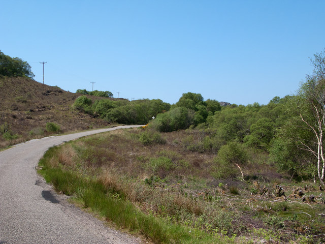
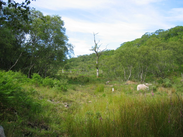
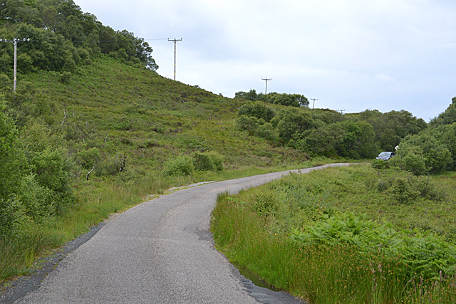
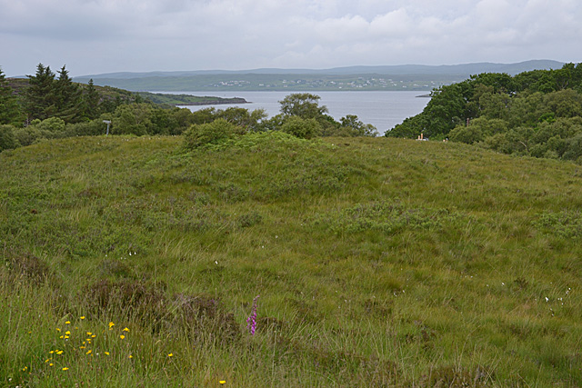
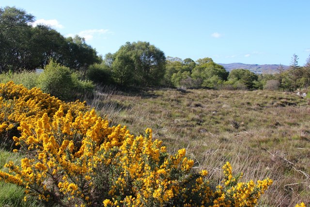
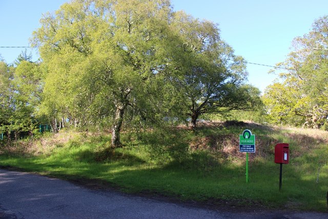
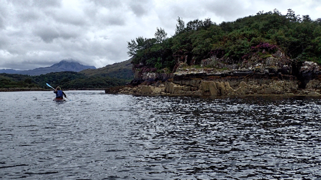
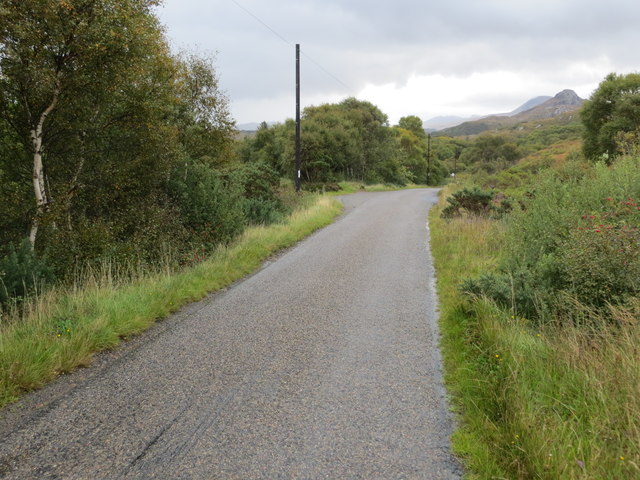
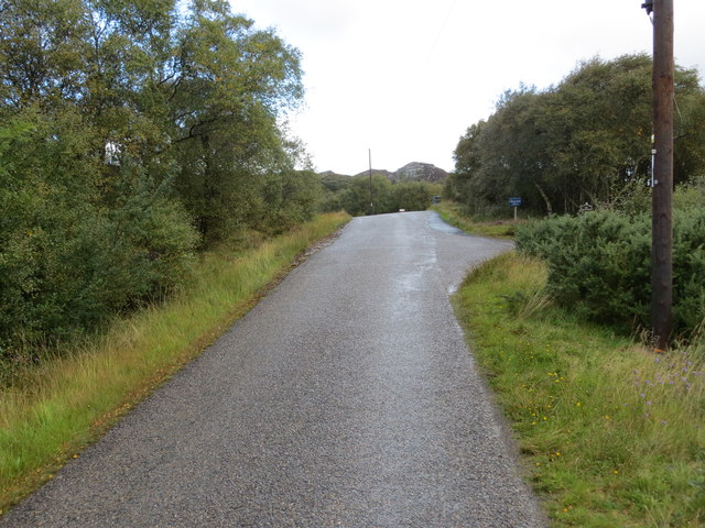
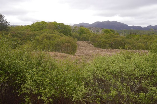
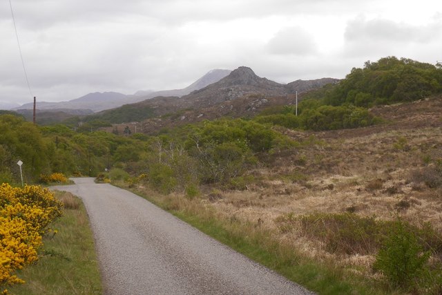
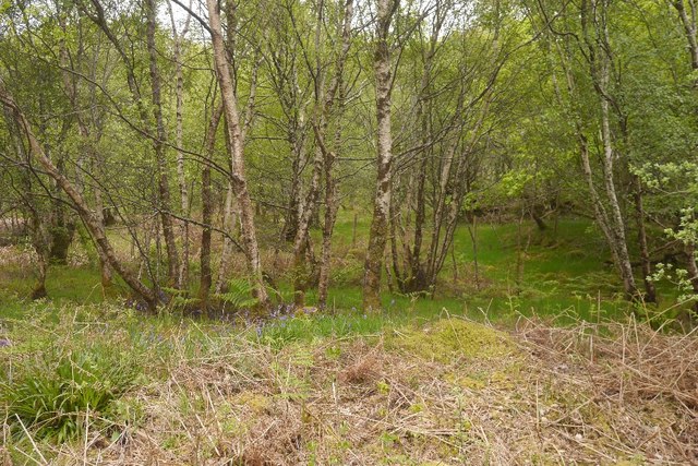
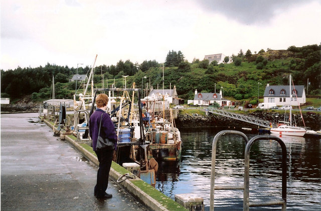
Creag Kerry Images
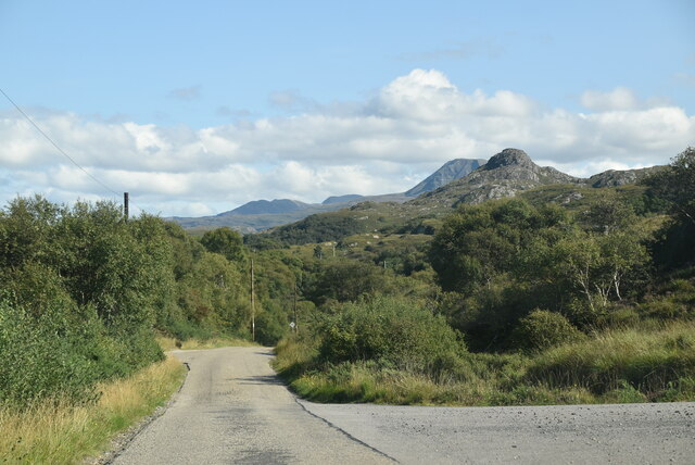
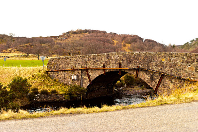
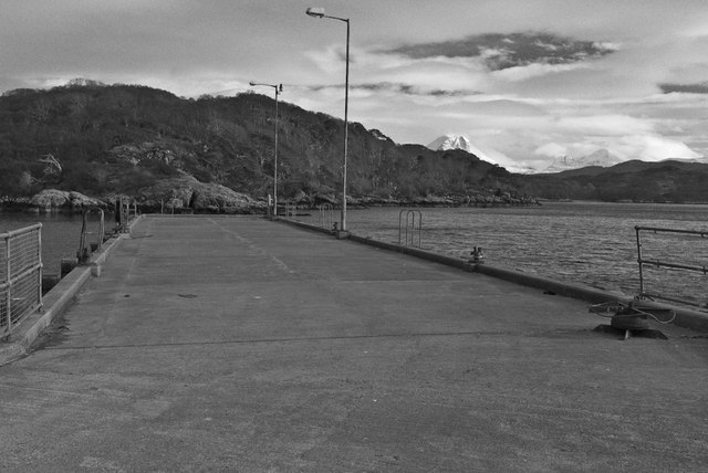
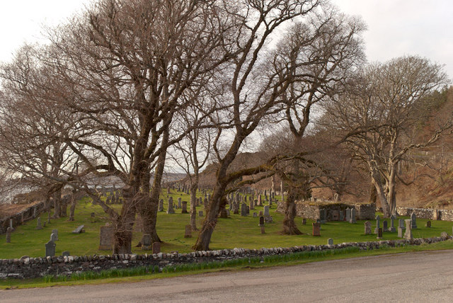
Images are sourced within 2km of 57.701451/-5.6713862 or Grid Reference NG8173. Thanks to Geograph Open Source API. All images are credited.

Creag Kerry is located at Grid Ref: NG8173 (Lat: 57.701451, Lng: -5.6713862)
Unitary Authority: Highland
Police Authority: Highlands and Islands
What 3 Words
///ratty.partners.blanked. Near Gairloch, Highland
Nearby Locations
Related Wikis

Charlestown, Wester Ross
Charlestown is a small hamlet, making up one of the settlements which are collectively called Gairloch, and located directly south of the main village...
An Ard
An Ard (Scottish Gaelic: ) is a collection of small settlements on the A832 road, close to Charlestown, in Gairloch, Ross-shire, on the east shore of Gair...
Broadford Beds Formation
The Broadford Beds Formation is a Sinemurian geologic formation in western Scotland. An indeterminate partial tibia of a theropod dinosaur are among the...

Kerry Falls Hydro-Electric Scheme
Kerry Falls Hydro-Electric Scheme, sometimes known as Gairloch is a small-scale hydro-electric power station, built by the North of Scotland Hydro-Electric...
Nearby Amenities
Located within 500m of 57.701451,-5.6713862Have you been to Creag Kerry?
Leave your review of Creag Kerry below (or comments, questions and feedback).