Creag nam Fitheach
Coastal Feature, Headland, Point in Argyllshire
Scotland
Creag nam Fitheach
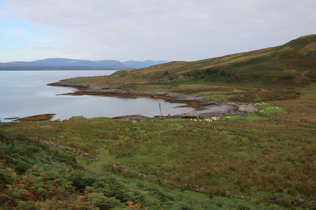
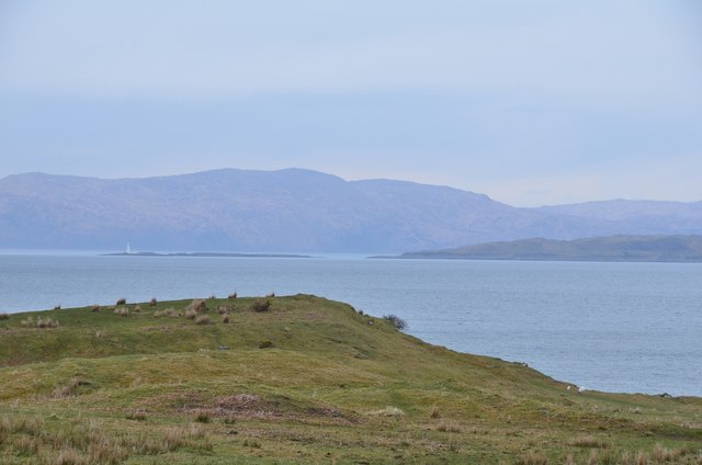
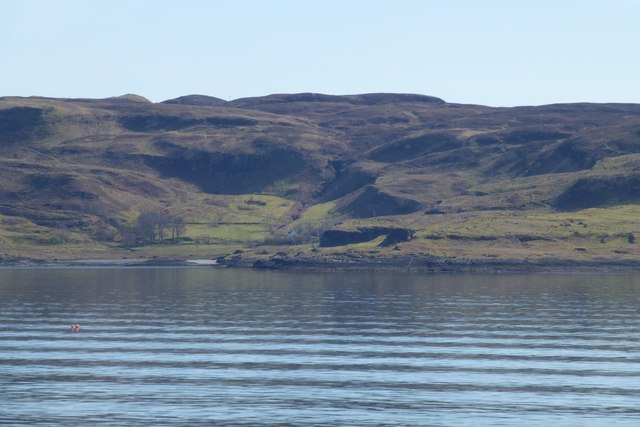
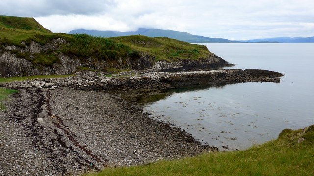
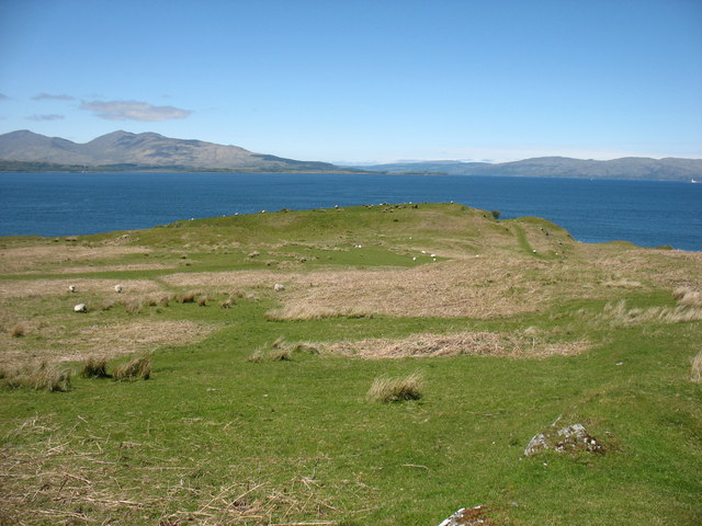
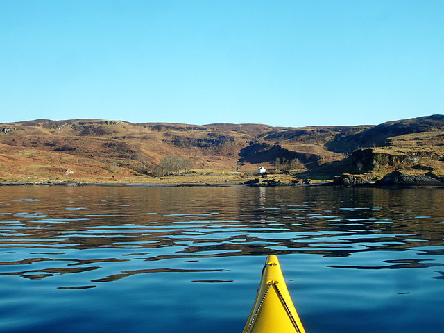
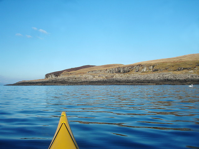
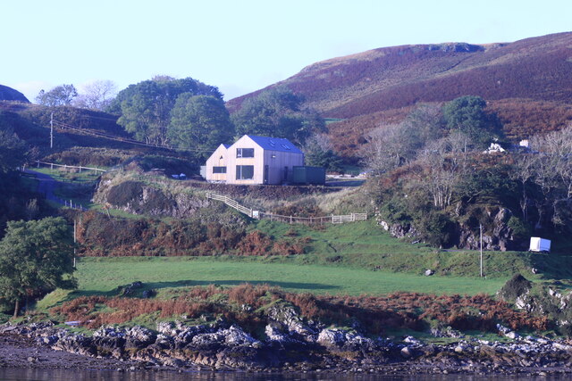
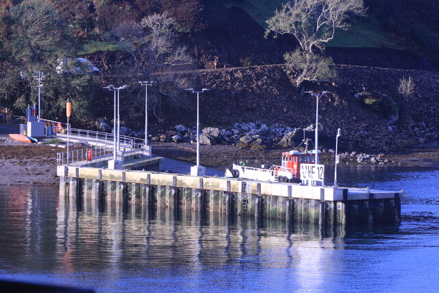
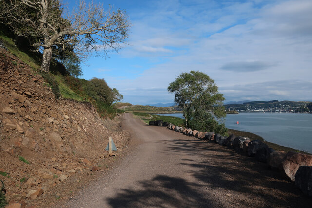
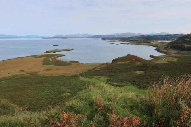
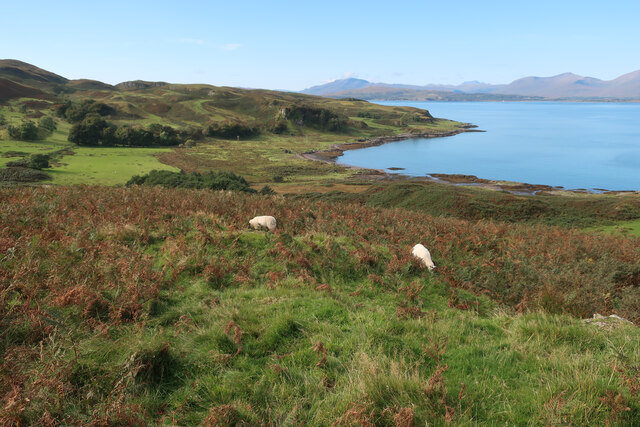
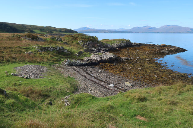
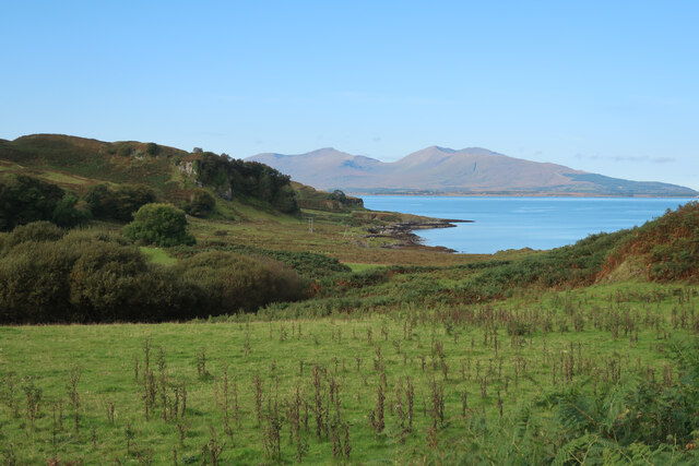
Creag nam Fitheach is a prominent headland located in Argyllshire, Scotland. This coastal feature is known for its rugged cliffs and stunning views of the surrounding coastline and sea. The name Creag nam Fitheach translates to "Ravens' Rock" in Gaelic, a fitting name for this dramatic and picturesque headland.
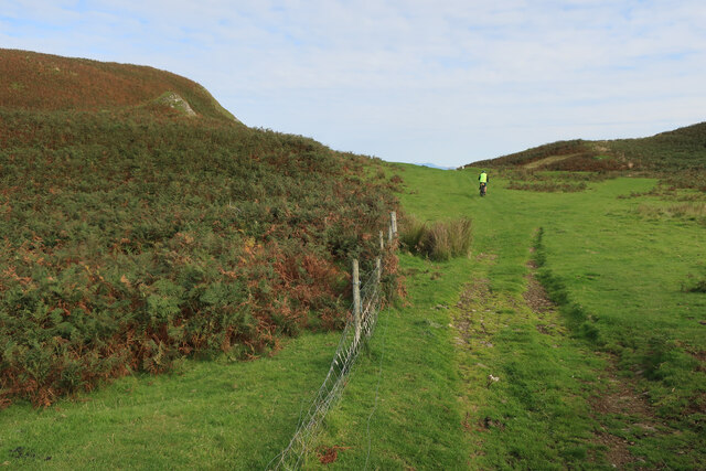
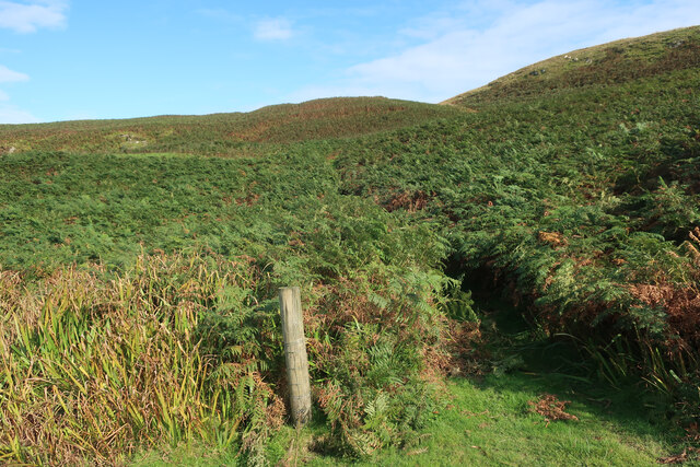
The headland is made up of steep cliffs that drop down to the sea below, providing a habitat for a variety of seabirds such as gannets, puffins, and guillemots. The rocky terrain is also home to a diverse range of plant species, adding to the natural beauty of the area.
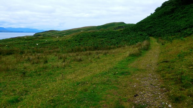
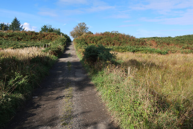
Creag nam Fitheach is a popular destination for hikers and nature enthusiasts, who come to explore the rugged landscape and take in the breathtaking views of the surrounding area. The headland is also a great spot for birdwatching, with the opportunity to see a variety of seabirds in their natural habitat.
Overall, Creag nam Fitheach is a must-visit destination for those looking to experience the wild and rugged beauty of the Scottish coast.
If you have any feedback on the listing, please let us know in the comments section below.
Creag nam Fitheach Images
Images are sourced within 2km of 56.407153/-5.5463198 or Grid Reference NM8129. Thanks to Geograph Open Source API. All images are credited.
Creag nam Fitheach is located at Grid Ref: NM8129 (Lat: 56.407153, Lng: -5.5463198)
Unitary Authority: Argyll and Bute
Police Authority: Argyll and West Dunbartonshire
What 3 Words
///reshaping.drones.landings. Near Oban, Argyll & Bute
Nearby Locations
Related Wikis

Kerrera
Kerrera (; Scottish Gaelic: Cearara or Cearrara) is an island in the Scottish Inner Hebrides, close to the town of Oban. In 2016 it had a population of...
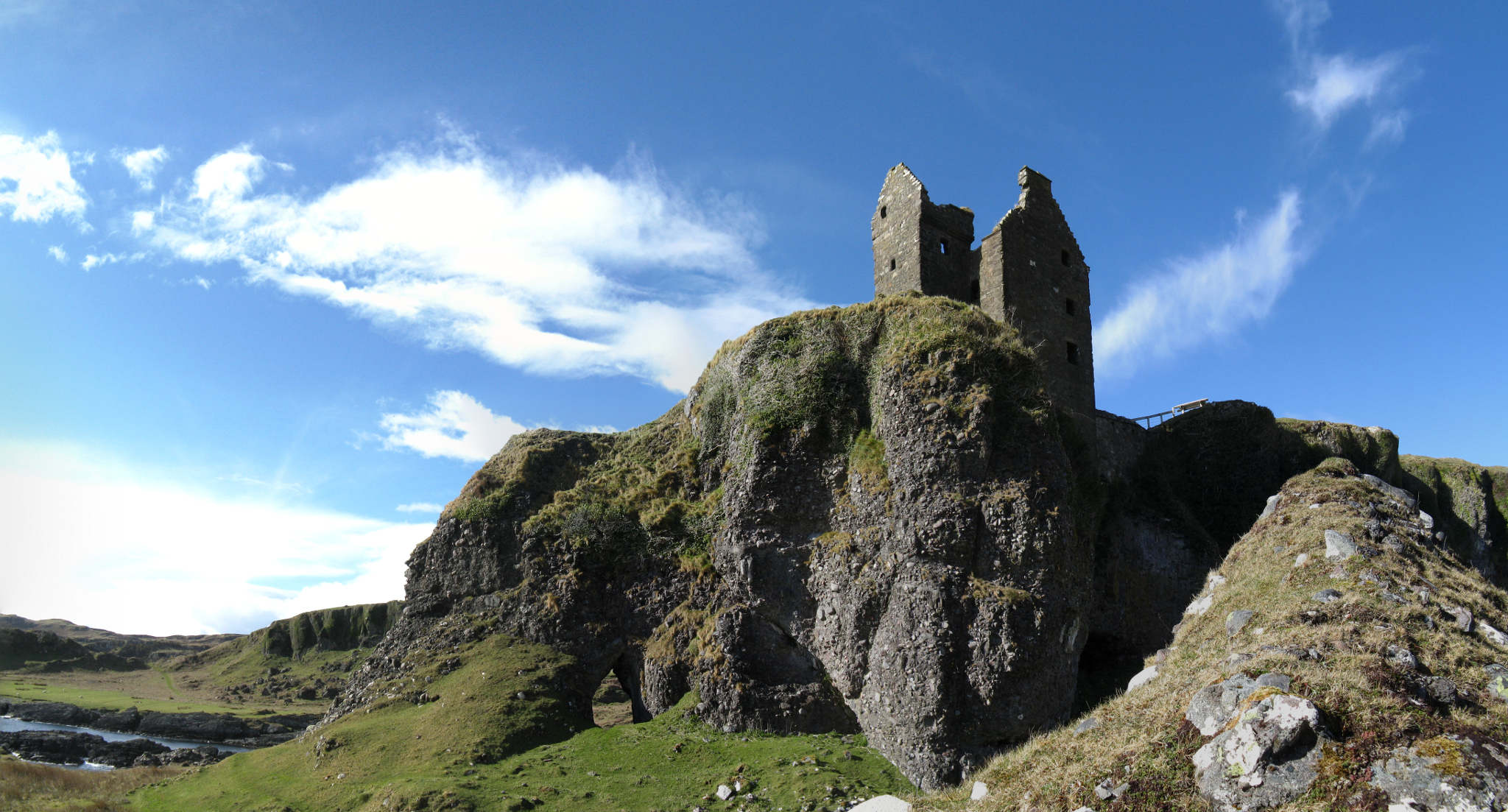
Gylen Castle
Gylen Castle is a ruined castle, or tower house, at the south end of the island of Kerrera in Argyll and Bute, Scotland, on a promontory overlooking the...
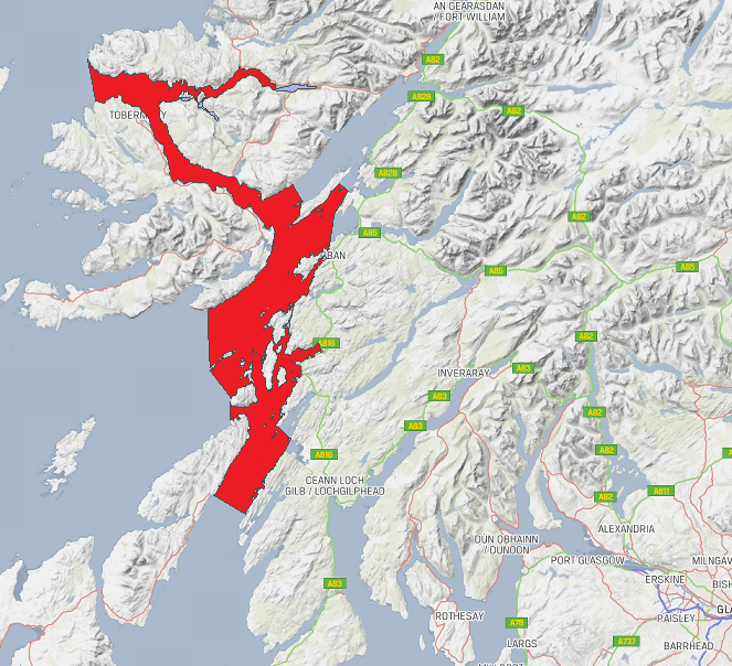
Loch Sunart to the Sound of Jura Marine Protected Area
Loch Sunart to the Sound of Jura Marine Protected Area is a Marine Protected Area (MPA) off the west coast of Scotland. The MPA, which covers 741 km2...

RAF Oban
RAF Oban is a former Royal Air Force (RAF) flying boat base located at the northern end of the island of Kerrera, in Ardantrive Bay west of Oban, Argyll...
Nearby Amenities
Located within 500m of 56.407153,-5.5463198Have you been to Creag nam Fitheach?
Leave your review of Creag nam Fitheach below (or comments, questions and feedback).