Staines Hill
Hill, Mountain in Kent Canterbury
England
Staines Hill
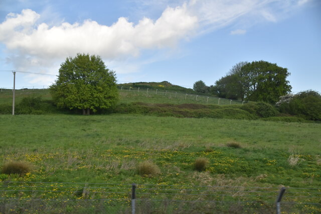
Staines Hill, located in Kent, England, is a prominent hill standing at an elevation of 92 meters (302 feet) above sea level. Situated in the southeastern part of the county, it is part of the North Downs, a range of chalk hills known for their outstanding natural beauty. Staines Hill is specifically found near the village of Westerham, just west of the larger town of Sevenoaks.
The hill offers breathtaking panoramic views of the surrounding countryside, with its gently rolling slopes covered in lush greenery and interspersed with patches of woodlands. It serves as a popular destination for walkers, hikers, and nature enthusiasts, who are attracted by the tranquil ambiance and the opportunity to explore the diverse flora and fauna found in the area.
Staines Hill is also home to an ancient monument known as the Churchill’s Seat. This stone bench, located near the summit of the hill, is believed to have been a favorite spot for Sir Winston Churchill, the renowned British statesman and former Prime Minister. The monument provides visitors with a sense of historical significance and acts as a tribute to Churchill's connection with the region.
In addition to its natural and historical features, Staines Hill is surrounded by several picturesque villages and historic sites, including Chartwell, the former home of Winston Churchill, and Westerham, a charming town with a rich heritage. Overall, Staines Hill offers a peaceful and scenic retreat for those seeking to immerse themselves in the beauty of the Kentish countryside.
If you have any feedback on the listing, please let us know in the comments section below.
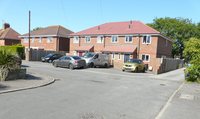
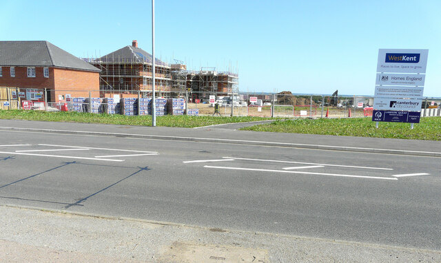
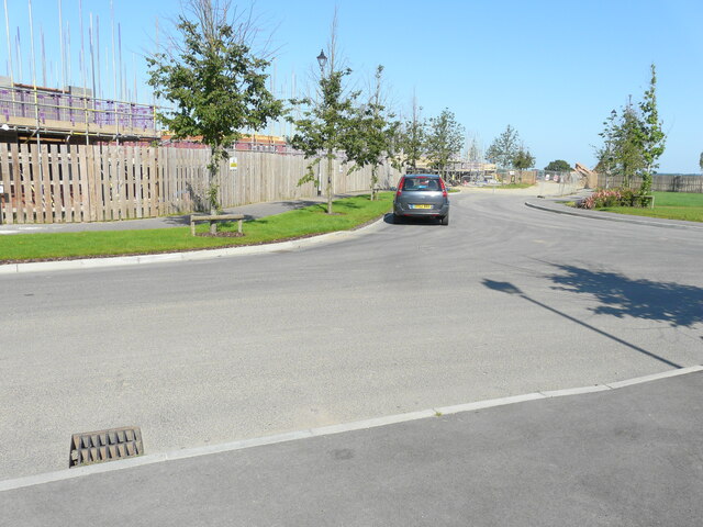
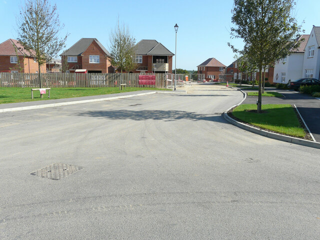
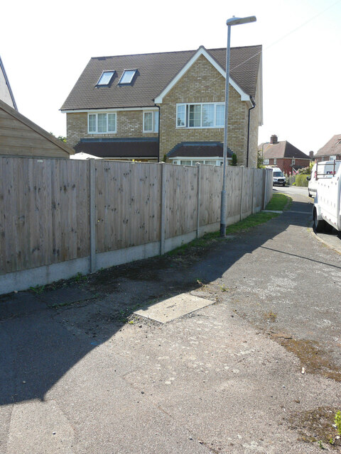
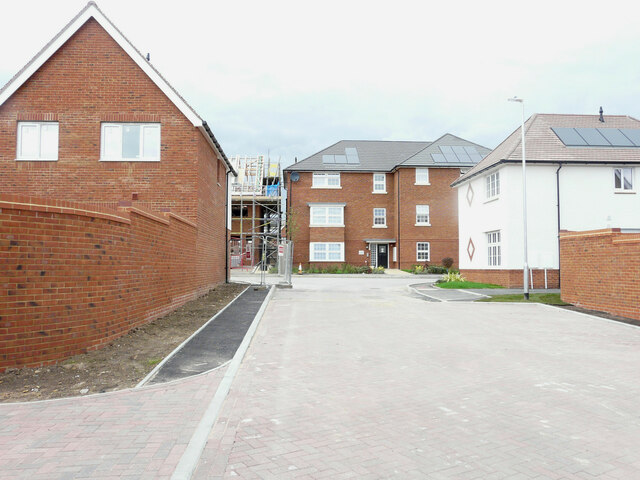
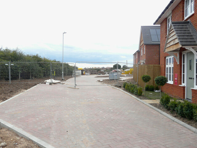
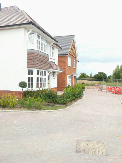
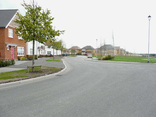
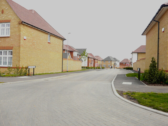
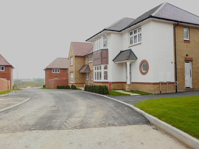
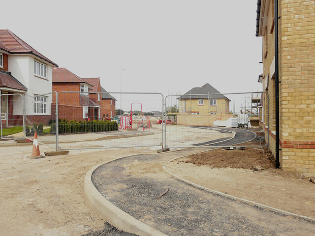
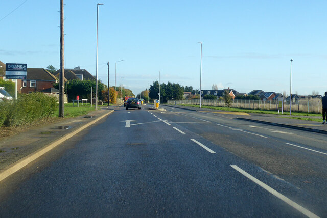
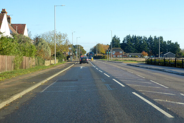
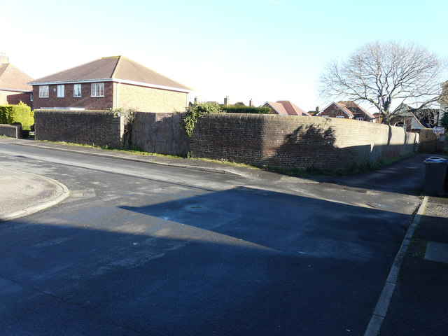
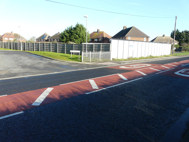
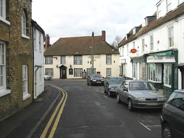
Staines Hill Images
Images are sourced within 2km of 51.308227/1.1387426 or Grid Reference TR1861. Thanks to Geograph Open Source API. All images are credited.

Staines Hill is located at Grid Ref: TR1861 (Lat: 51.308227, Lng: 1.1387426)
Administrative County: Kent
District: Canterbury
Police Authority: Kent
What 3 Words
///mild.forklift.procured. Near Sturry, Kent
Nearby Locations
Related Wikis

Westbere
Westbere is a small village and civil parish in Kent, England, centred 4 miles (6.4 km) north-east of Canterbury city centre along the A28 road to the...

Spires Academy
The Spires Academy is a non-selective secondary school for pupils aged 11–16 in Canterbury, Kent. There is a sixth form. The school has dual specialist...
Frank Montgomery School
The Frank Montgomery School was a mixed-gender secondary modern school in the village of Sturry near Canterbury in east Kent. It was founded in 1935 and...
King's School Canterbury Boat Club
King's School Canterbury Boat Club is a rowing club based at Brett Sturry Quarry, Westbere Lakes, Sturry, Canterbury, Kent. == History == The club has...
Sturry
Sturry is a village on the Great Stour river situated 3 miles (4.8 km) northeast of Canterbury in Kent. Its large civil parish incorporates several hamlets...

Sturry Pit
Sturry Pit is a 0.7 hectares (1.7 acres) geological Site of Special Scientific Interest north-east of Canterbury in Kent. It is a Geological Conservation...
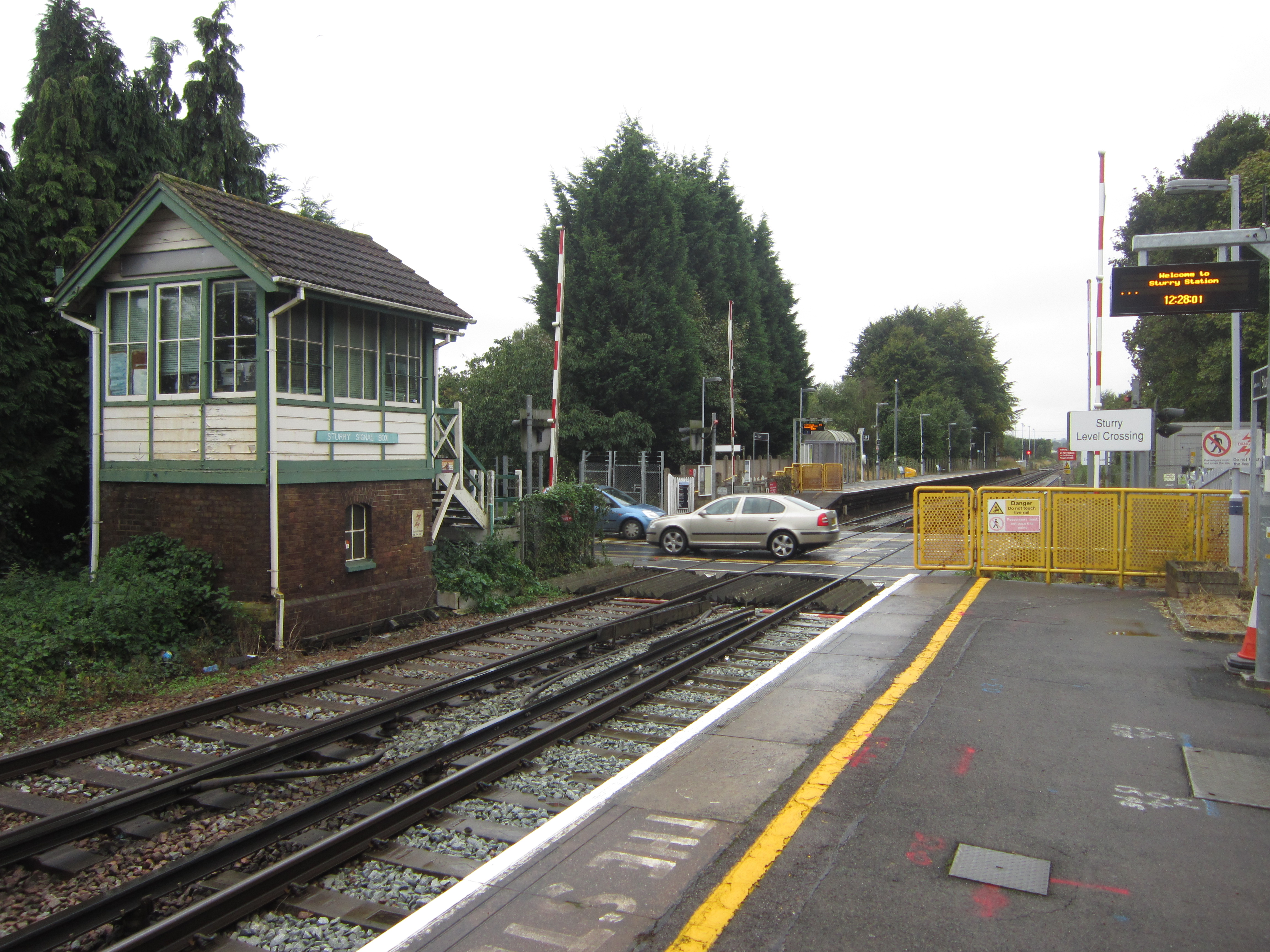
Sturry railway station
Sturry railway station is a railway station Kent, England, serving Sturry and Fordwich on the Ashford to Ramsgate line in Kent. It is 2+1⁄4 miles (3.6...

Church of St Mary the Virgin, Fordwich
The Church of St Mary the Virgin is a redundant Anglican church in the small town of Fordwich, Kent, England. It is recorded in the National Heritage...
Nearby Amenities
Located within 500m of 51.308227,1.1387426Have you been to Staines Hill?
Leave your review of Staines Hill below (or comments, questions and feedback).