Bunker's Hill

Hill, Mountain in Norfolk Norwich

England

Bunker's Hill

The Village Shop, Grove Avenue, Costessey See <a href="https://www.geograph.org.uk/photo/1972424">TG1810 : Your shop Village Store, Grove Avenue, Costessey</a> for an earlier view.
The Village Shop, Grove Avenue, Costessey Credit: Hugh Venables

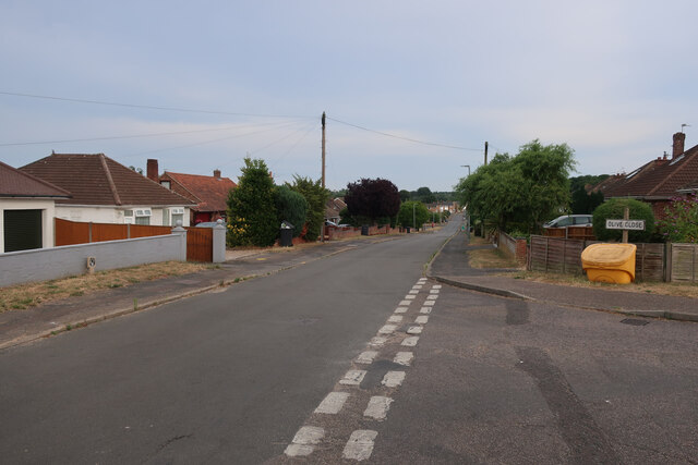
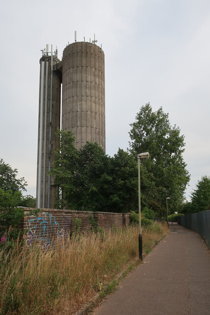
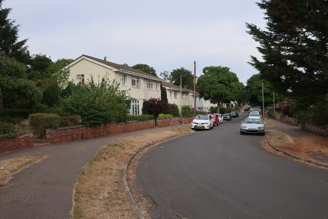
Bunker's Hill is a prominent landmark located in Norfolk, England. It is a hill that rises approximately 30 meters above sea level, providing a stunning view of the surrounding area. Situated in the Bunker's Hill area, this geographical feature holds historical significance and is a popular destination for tourists and locals alike.

The hill takes its name from a military fortification that was once situated on its summit during the 18th century. The fortification, known as Bunker's Hill Battery, was built to defend the city of Norfolk against potential coastal attacks. Although the battery no longer exists, the hill still retains its name and serves as a reminder of its historical past.

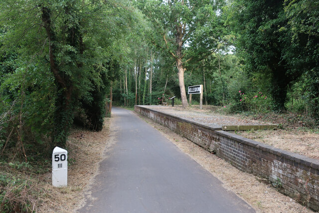
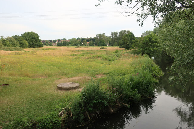
Today, Bunker's Hill is an attractive spot for nature enthusiasts and hikers. The hill is covered in lush greenery and offers several walking trails that cater to different skill levels. Visitors can enjoy a leisurely stroll or a more challenging hike, all while taking in the breathtaking views of the surrounding countryside.

Additionally, Bunker's Hill is a popular spot for picnics and outdoor gatherings. The hilltop provides ample space for visitors to relax, unwind, and enjoy a meal while immersing themselves in the tranquility of the area.

Overall, Bunker's Hill is not only a geographical feature but also a historical and recreational landmark in Norfolk. Its combination of natural beauty and historical significance make it a must-visit destination for anyone exploring the region.

If you have any feedback on the listing, please let us know in the comments section below.

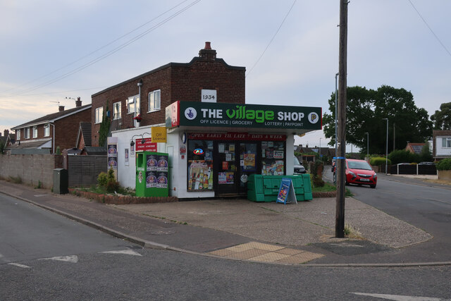
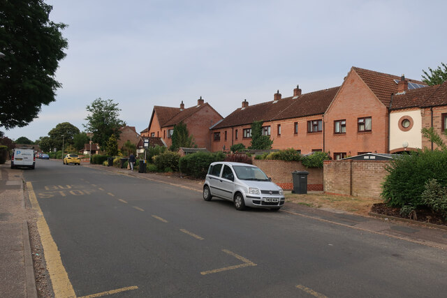
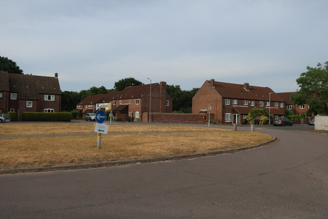
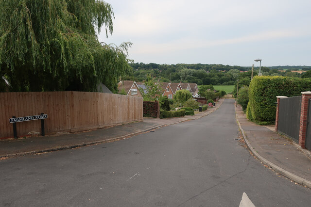
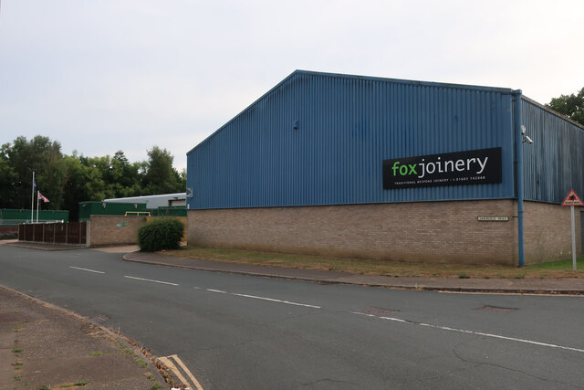
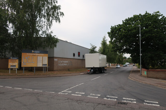
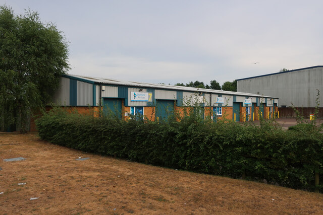
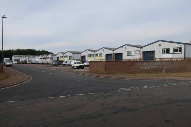
Bunker's Hill Images

Images are sourced within 2km of 52.636393/1.2294491 or Grid Reference TG1809. Thanks to Geograph Open Source API. All images are credited.

The Village Shop, Grove Avenue, Costessey See <a href="https://www.geograph.org.uk/photo/1972424">TG1810 : Your shop Village Store, Grove Avenue, Costessey</a> for an earlier view.
The Village Shop, Grove Avenue, Costessey
Richmond Road
Richmond Road
Middleton Crescent
Middleton Crescent
Farmland Road, New Costessey
Olive Road
Olive Road
Hellesdon platform, Marriott's Way The station opened on 2 December 1882 and was closed on 15 September 1952, before the line was closed to passengers in 1959. It stayed as a freight line until 1985.
Hellesdon platform, Marriott's Way
The station opened on 2 December 1882 and was closed on 15 September 1952, before the line was closed to passengers in 1959. It stayed as a freight line until 1985.
Royal Mail depot and Screwfix, Bowthorpe Industrial Area
Sinclair International, Jarrold Way Producing labels for fresh produce.
Sinclair International, Jarrold Way
Producing labels for fresh produce.
Fox Joinery, Bowthorpe Industrial Area
Bowthorpe Park Industrial Estate
Bowthorpe water tower
Paddocks by River Wensum
Wilberforce Road, West Earlham
Garages on St Mildreds Road
St Mildreds Road, West Earlham
Earlham Green Lane
Earlham Green Lane
Show me another place!

Bunker's Hill is located at Grid Ref: TG1809 (Lat: 52.636393, Lng: 1.2294491)

Administrative County: Norfolk

District: Norwich

Police Authority: Norfolk

What 3 Words

///stands.lofts.cooks. Near Bowthorpe, Norfolk

Related Wikis

Bowthorpe

Bowthorpe is a suburban village to the west of Norwich, in the county of Norfolk, England. == Geography == Bowthorpe is primarily a residential area, but...

Bowthorpe Marsh

Bowthorpe Marsh is a 5.9-hectare (15-acre) Local Nature Reserve in Norwich in Norfolk. It is owned and managed by Norwich City Council.This site adjacent...

Norwich CBS F.C.

Norwich CBS Football Club is a football club based in Norwich, Norfolk, England. They are currently members of the Eastern Counties League Division One...

Earlham Institute

Earlham Institute (EI, formerly The Genome Analysis Centre (TGAC)) is a life science research institute located at the Norwich Research Park (NRP), Norwich...

Earlham Hall

Earlham Hall is a country house in Norfolk, England. It is located just to the west of the city of Norwich, on Earlham Road, on the outskirts of the village...

Colney

Colney () is a village in the western outskirts of Norwich in the English county of Norfolk. == History == Colney's name is of Anglo-Saxon origin and derives...

Norwich Radiology Academy

The Norwich Radiology Academy, opened in November 2005, is part of the Norfolk and Norwich University Hospital NHS Trust and is one of only three training...

Norwich Research Park

Norwich Research Park is a business community located to the southwest of Norwich in East Anglia close to the A11 and the A47 roads. Set in over 230 hectares...

Nearby Amenities

Located within 500m of 52.636393,1.2294491
Crossing
Crossing Island: no
Lat/Long: 52.6398741/1.2334042
Crossing
Crossing: unmarked
Lat/Long: 52.6389335/1.2328017
Crossing
Crossing Island: yes
Lat/Long: 52.6385117/1.2318878
Crossing
Crossing: unmarked
Crossing Island: no
Tactile Paving: no
Lat/Long: 52.6381738/1.2304878
Crossing
Crossing: uncontrolled
Lat/Long: 52.6378686/1.2281722
Crossing
Crossing Island: yes
Lat/Long: 52.6384737/1.2319519
Crossing
Crossing: unmarked
Crossing Island: no
Tactile Paving: no
Lat/Long: 52.6380891/1.2305363
Barrier: bollard
Lat/Long: 52.6402388/1.2312414
Crossing
Crossing: uncontrolled
Lat/Long: 52.6407269/1.2286052
Crossing
Crossing: uncontrolled
Crossing Island: no
Tactile Paving: no
Lat/Long: 52.6395424/1.2259009
Barrier: bollard
Lat/Long: 52.6384486/1.2307718
Give Way
Direction: backward
Lat/Long: 52.6389858/1.2257535
Crossing
Crossing: unmarked
Crossing Island: no
Tactile Paving: no
Lat/Long: 52.6381315/1.2305106
Barrier: cycle_barrier
Bicycle: dismount
Foot: yes
Motor Vehicle: no
Lat/Long: 52.6389333/1.2331815
Post Box
Collection Times: Mo-Fr 09:00, Sa 07:00
Operator: Royal Mail
Post Box Type: pillar
Ref: NR5 513
Lat/Long: 52.6337187/1.2330965
Post Box
Collection Times: Mo-Fr 09:00, Sa 07:00
Operator: Royal Mail
Post Box Mounting: brick_pillar
Post Box Type: wall
Ref: NR5 514
Royal Cypher: GR
Royal Cypher Wikidata: Q33102273
Lat/Long: 52.6365911/1.2359002
Post Box
Collection Times: Mo-Fr 09:00; Sa 07:00
Operator: Royal Mail
Postal Code: NR5
Ref: NR5 518D
Lat/Long: 52.6398779/1.2267995
Power: pole
Lat/Long: 52.632367/1.2271857
Power: pole
Lat/Long: 52.6333079/1.2276417
Power: pole
Lat/Long: 52.6342081/1.2280682
Power: pole
Lat/Long: 52.6352499/1.2285644
Power: pole
Lat/Long: 52.6359954/1.2295434
Material: wood
Power: pole
Lat/Long: 52.6366661/1.2304044
Material: wood
Power: pole
Lat/Long: 52.6374148/1.2312278
Material: wood
Power: pole
Lat/Long: 52.6373383/1.2313753
Location Transition: yes
Power: pole
Lat/Long: 52.6323458/1.2267029
Location Transition: yes
Power: pole
Lat/Long: 52.6323621/1.2268987
Recycling
Freed Man PH, St Mildreds Road
Recycling Glass Bottles: yes
Recycling Paper: yes
Recycling Type: container
Website: https://www.norwich.gov.uk/intranet_docs/A-Z/Recycling/Recycling_Centres.pdf
Lat/Long: 52.6351539/1.2304171
Bus Stop
Humbleyard
Bus: yes
Naptan AtcoCode: 2900N1212
Naptan Bearing: SW
Naptan CommonName: Bus Shelter
Naptan Indicator: adj
Naptan Landmark: bus shelter
Naptan Locality: Bowthorpe
Naptan NaptanCode: nfodgwpm
Naptan PlusbusZoneRef: NRCH
Naptan Street: Humbleyard
Public Transport: platform
Shelter: yes
Source: naptan_import;survey
Lat/Long: 52.6397234/1.2260471
Bus Stop
Humbleyard
Bench: no
Bus: yes
Naptan AtcoCode: 2900N12201
Naptan Bearing: N
Naptan CommonName: Bus Shelter
Naptan Indicator: opp
Naptan Landmark: opp bus shelter
Naptan Locality: Bowthorpe
Naptan NaptanCode: nfodjata
Naptan PlusbusZoneRef: NRCH
Naptan Street: Humbleyard
Note: Bearing should be NE.
Public Transport: platform
Shelter: no
Source: naptan_import;survey
Lat/Long: 52.6397364/1.2259002
Bus Stop
Wilberforce Road
Naptan AtcoCode: 2900N12328
Naptan Bearing: NW
Naptan CommonName: Malbrook Road
Naptan Indicator: opp
Naptan Landmark: Malbrook Road
Naptan Locality: Norwich
Naptan NaptanCode: nfodjmja
Naptan PlusbusZoneRef: NRCH
Naptan Street: Wilberforce Road
Operator: Norfolk County Council
Route Ref: 21
Shelter: no
Source: naptan_import;survey
Lat/Long: 52.6333596/1.2333956
Bus Stop
West Earlham / Malbrook Road
Bench: no
Check Date Shelter: 2020-11-10
Naptan AtcoCode: 2900N12330
Naptan Bearing: NE
Naptan CommonName: Freshfield Close
Naptan Indicator: opp
Naptan Landmark: Freshfield Close
Naptan Locality: West Earlham
Naptan NaptanCode: nfodjmjm
Naptan PlusbusZoneRef: NRCH
Naptan Street: Malbrook Road
Operator: First Eastern Counties
Route Ref: 21;22
Shelter: no
Source: naptan_import;survey
Lat/Long: 52.6357591/1.2346154
Bus Stop
Wilberforce Road
Naptan AtcoCode: 2900N12331
Naptan Bearing: SE
Naptan CommonName: Malbrook Road
Naptan Indicator: adj
Naptan Landmark: No. 30
Naptan Locality: Norwich
Naptan NaptanCode: nfodjmjp
Naptan PlusbusZoneRef: NRCH
Naptan Street: Wilberforce Road
Operator: Norfolk County Council
Route Ref: 21
Shelter: no
Source: naptan_import;survey
Lat/Long: 52.6331133/1.2338505
Bus Stop
West Earlham / Runcton Close
Naptan AtcoCode: 2900N12332
Naptan Bearing: NW
Naptan CommonName: Runcton Close
Naptan Indicator: adj
Naptan Locality: West Earlham
Naptan NaptanCode: nfodjmjt
Naptan PlusbusZoneRef: NRCH
Naptan Street: Earlham Green lane
Physically Present: no
Shelter: no
Source: naptan_import;survey
Lat/Long: 52.6370765/1.2344058
Bus Stop
West Earlham / Malbrooke Road
Bench: no
Check Date Shelter: 2020-11-10
Naptan AtcoCode: 2900N12333
Naptan Bearing: SW
Naptan CommonName: Freshfield Close
Naptan Indicator: adj
Naptan Landmark: Freshfield Close
Naptan Locality: West Earlham
Naptan NaptanCode: nfodjmjw
Naptan PlusbusZoneRef: NRCH
Naptan Street: Malbrook Road
Note: Sign's road name is wrong, should be "Malbrook Road" without an e
Operator: Norfolk County Council
Shelter: no
Source: naptan_import;survey
Lat/Long: 52.6354872/1.2345372
Bus Stop
Reydon Close
Naptan AtcoCode: 2900N12334
Naptan Bearing: SW
Naptan CommonName: Reydon Close
Naptan Indicator: opp
Naptan Landmark: Reydon Close
Naptan Locality: Bowthorpe
Naptan NaptanCode: nfodjmpa
Naptan PlusbusZoneRef: NRCH
Naptan ShortCommonName: Reydon Cl
Naptan Street: Clover Hill Road
Physically Present: no
Source: naptan_import;survey
Lat/Long: 52.6378906/1.2286175
Bus Stop
West Earlham / Runcton Close
Bench: no
Bin: yes
Naptan AtcoCode: 2900N12335
Naptan Bearing: SE
Naptan CommonName: Runcton Close
Naptan Indicator: opp
Naptan Locality: West Earlham
Naptan NaptanCode: nfodjmpd
Naptan PlusbusZoneRef: NRCH
Naptan Street: Earlham Green lane
Note: No bus stop sign visible
Shelter: yes
Source: naptan_import;survey
Lat/Long: 52.6371328/1.2345052
Bus Stop
Reydon Close
Naptan AtcoCode: 2900N12337
Naptan Bearing: E
Naptan CommonName: Reydon Close
Naptan Indicator: adj
Naptan Landmark: Reydon Close
Naptan Locality: Bowthorpe
Naptan NaptanCode: nfodjmpj
Naptan PlusbusZoneRef: NRCH
Naptan ShortCommonName: Reydon Cl
Naptan Street: Clover Hill Road
Physically Present: no
Shelter: no
Source: naptan_import;survey
Lat/Long: 52.6379755/1.2286149
Bicycle Parking
Bicycle Parking: stands
Capacity: 12
Check Date: 2023-02-18
Covered: no
Lat/Long: 52.639922/1.2260968
Bus Stop
Norwich / Humbleyard
Bus: yes
Note: Displays "Both Sides of the Road"
Operator: First Eastern Counties
Public Transport: platform
Shelter: no
Source: naptan_import;survey
Lat/Long: 52.6382083/1.2260072
Man Made: surveillance
Surveillance: public
Surveillance Type: camera
Surveillance Zone: town
Lat/Long: 52.6395149/1.2267405
Barrier: cycle_barrier
Bicycle: no
Lat/Long: 52.6376121/1.2229398
Barrier: bollard
Lat/Long: 52.6379334/1.2281428
Barrier: bollard
Lat/Long: 52.6387936/1.2272338
Entrance: yes
Lat/Long: 52.6398321/1.2264219
Telephone
Operator: BT
Phone: +44 1603 745401
Lat/Long: 52.6398629/1.2268016
Barrier: bollard
Lat/Long: 52.6402006/1.2266825
Bicycle Parking
Bicycle Parking: stands
Capacity: 12
Check Date Capacity: 2023-02-18
Covered: no
Lat/Long: 52.6395573/1.226046
Bicycle Parking
Bicycle Parking: stands
Capacity: 8
Covered: no
Lat/Long: 52.6396039/1.2268344
Barrier: bollard
Lat/Long: 52.6390038/1.2243809
Crossing
Crossing: uncontrolled
Lat/Long: 52.6378363/1.2320151
Barrier: bollard
Lat/Long: 52.637942/1.2321074
Barrier: cycle_barrier
Lat/Long: 52.6379783/1.2321712
Note: path exits wood to north of here
Lat/Long: 52.6372945/1.2319091
Bunker's Hill
Place: locality
Lat/Long: 52.6364289/1.2310829
Barrier: kissing_gate
Foot: yes
Lat/Long: 52.6325188/1.2277671
Barrier: bollard
Lat/Long: 52.6367541/1.2227907
Barrier: bollard
Lat/Long: 52.6378111/1.2228299
Barrier: bollard
Lat/Long: 52.6379253/1.2225336
Barrier: bollard
Lat/Long: 52.6379972/1.2227718
Cushion: removable
Traffic Calming: cushion
Lat/Long: 52.6338884/1.2255618
Crossing
Crossing: uncontrolled
Tactile Paving: yes
Lat/Long: 52.6374988/1.2268903
Bench
Bench: yes
Lat/Long: 52.6398479/1.2268037
Barrier: bollard
Bicycle: yes
Bollard: removable
Colour: green
Foot: yes
Material: metal
Lat/Long: 52.6373407/1.2261694
Barrier: stile
Foot: yes
Material: wood
Step Count: 2
Lat/Long: 52.6322335/1.2308027
Give Way
Lat/Long: 52.6337249/1.2330144
Give Way
Lat/Long: 52.6379375/1.2360701
Give Way
Lat/Long: 52.6379121/1.236159
Give Way
Lat/Long: 52.6337555/1.2297819
Give Way
Lat/Long: 52.6336978/1.2297813
Give Way
Lat/Long: 52.6359408/1.2347938
Give Way
Lat/Long: 52.6359147/1.2348836
Give Way
Lat/Long: 52.6341792/1.2333374
Give Way
Lat/Long: 52.6341464/1.2334217
Give Way
Lat/Long: 52.6351069/1.234098
Give Way
Lat/Long: 52.6350821/1.2341849
Cushion: removable
Traffic Calming: cushion
Lat/Long: 52.6339447/1.2245608
Give Way
Lat/Long: 52.6339219/1.2240407
Traffic Calming: cushion
Lat/Long: 52.636919/1.2351193
Traffic Calming: cushion
Lat/Long: 52.6367141/1.2357588
Give Way
Lat/Long: 52.6385372/1.2341813
Crossing
Lat/Long: 52.6400605/1.2336978
Bench
Backrest: yes
Colour: brown
Inscription: yes
Material: wood
Seats: 3
Lat/Long: 52.6393501/1.2263522
Entrance: exit
Wheelchair: yes
Lat/Long: 52.6394401/1.2264693
Access: yes
Entrance: main
Wheelchair: yes
Lat/Long: 52.6394997/1.2262032
Waste Basket
Lat/Long: 52.6386454/1.2324202
Barrier: cycle_barrier
Bicycle: dismount
Foot: yes
Motor Vehicle: no
Lat/Long: 52.6385816/1.2324471
Give Way
Direction: forward
Lat/Long: 52.6376366/1.2269527
Give Way
Lat/Long: 52.6381532/1.2309356
Generator Method: photovoltaic
Generator Source: solar
Generator Type: solar_photovoltaic_panel
Location: roof
Power: generator
Lat/Long: 52.6369167/1.2224409
Generator Method: photovoltaic
Generator Source: solar
Generator Type: solar_photovoltaic_panel
Location: roof
Power: generator
Lat/Long: 52.6369224/1.2224878
Give Way
Direction: backward
Lat/Long: 52.6386801/1.2258974
Bicycle Parking
Bicycle Parking: stands
Capacity: 6
Covered: no
Lat/Long: 52.6393513/1.2262369
Barrier: bollard
Bollard: fixed
Material: concrete
Lat/Long: 52.6395576/1.2261558
Barrier: bollard
Bollard: fixed
Material: concrete
Lat/Long: 52.639846/1.2265066
Grit Bin
Colour: yellow
Lat/Long: 52.6401143/1.226206
Barrier: bollard
Bollard: fixed
Material: concrete
Lat/Long: 52.6399481/1.226788
Give Way
Lat/Long: 52.640207/1.2260971
Give Way
Lat/Long: 52.6402465/1.2270825
Waste Basket
Colour: green
Material: plastic
Waste: trash
Lat/Long: 52.6395536/1.2269416
Bench
Backrest: yes
Colour: brown
Material: wood
Seats: 6
Lat/Long: 52.6395682/1.2269014
Bicycle Rental
Humbleyard
Bicycle Rental: dropoff_point
Brand: Beryl
Brand Wikidata: Q106575365
Capacity: 6
Email: support@beryl.cc
Fee: yes
Name Signed: no
Network: Beryl
Network Wikidata: Q106575365
Official Name: Humbleyard
Operator: Beryl
Operator Wikidata: Q106575369
Payment App: yes
Payment App Android: cc.beryl.basis
Payment App Ios: 1386768364
Payment Cash: no
Payment Credit Cards: no
Payment Cryptocurrencies: no
Payment Debit Cards: no
Payment Electronic Purses: no
Phone: +44 20 3003 5044
Ref Gbfs: beryl_norwich:2051
Rental: city_bike;ebike;escooter
Website: https://beryl.cc/scheme/norwich
Lat/Long: 52.6397095/1.225867
Give Way
Lat/Long: 52.6348539/1.2298089
Give Way
Lat/Long: 52.6346305/1.228899
Barrier: bollard
Lat/Long: 52.6396998/1.227367
Access: no
Barrier: bollard
Bicycle: yes
Foot: yes
Horse: yes
Motor Vehicle: no
Lat/Long: 52.6377467/1.2280283
Access: no
Barrier: bollard
Bicycle: yes
Foot: yes
Horse: yes
Motor Vehicle: no
Lat/Long: 52.6374741/1.226963
Barrier: cycle_barrier
Lat/Long: 52.6384361/1.2320338
Waste Basket
Colour: green
Material: plastic
Lat/Long: 52.6371667/1.2345125
Waste Basket
Lat/Long: 52.6387856/1.2335394
Waste Basket
Colour: green
Material: plastic
Lat/Long: 52.6389738/1.2330779
Waste Basket
Lat/Long: 52.6332383/1.2308561
Waste Basket
Colour: green
Material: plastic
Lat/Long: 52.6369905/1.2346675
Waste Basket
Colour: green
Material: plastic
Lat/Long: 52.6395627/1.225995
Waste Basket
Lat/Long: 52.639021/1.225957
Waste Basket
Colour: green
Material: plastic
Lat/Long: 52.6405474/1.228892
Give Way
Lat/Long: 52.6374903/1.2226039
Give Way
Lat/Long: 52.6387785/1.2324818
Crossing
Crossing: unmarked
Crossing Island: no
Crossing Markings: no
Tactile Paving: no
Traffic Calming: table
Lat/Long: 52.638356/1.2346212
Barrier: swing_gate
Lat/Long: 52.6394368/1.2344266
Give Way
Direction: forward
Lat/Long: 52.6377005/1.2262056
Give Way
Direction: backward
Lat/Long: 52.6378417/1.2275294
The data included in this document is from www.openstreetmap.org. The data is made available under ODbL.

Have you been to Bunker's Hill?

Leave your review of Bunker's Hill below (or comments, questions and feedback).